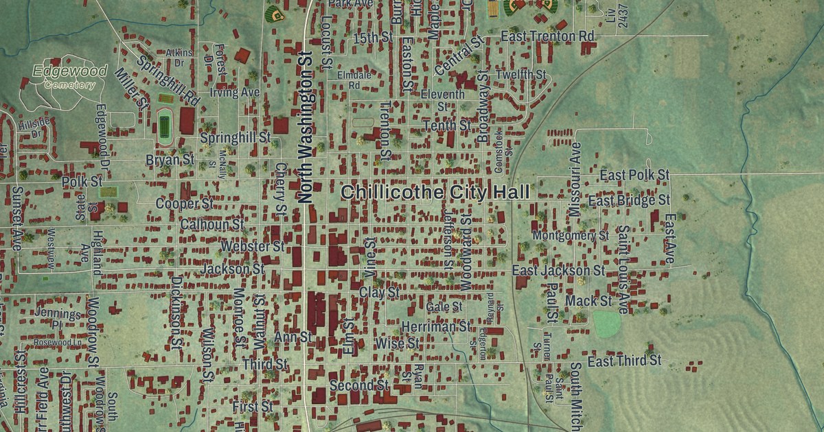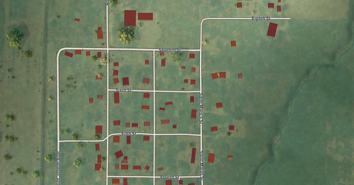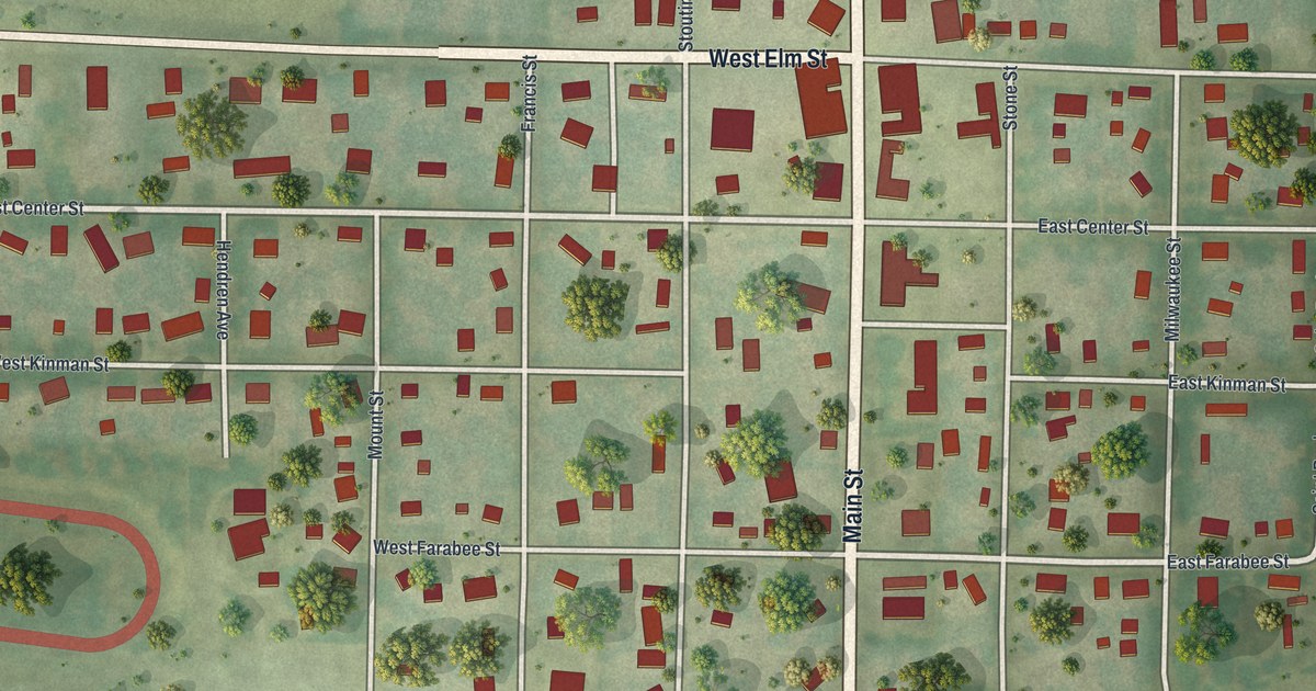
If you grew up in Polo, this print gives you a way to keep home close. It's a modern aerial view of Polo in Caldwell County, Missouri, made with modern data and a vintage feel. Red buildings line the town's streets, with green fields stretching beyond the blocks.
Main Street and Polo's village roots
On this map you'll find Main Street, Polo City Hall, West Elm Street, East Elm Street, West Center Street, East Center Street, School Street, Milwaukee Street, Withers Street, Birch Street, Oak Street, and more. Each red shape is a building, so zoom in on the preview and look for yours.
An early county history calls Polo the only village in Grant township. It lists four stores, two churches and a school house. Those few details give a glimpse of the town's early daily life. On today's map, you can pick out School Street and Main Street among the red buildings. They're familiar names to look for as you compare the old village account with the town you know.
Keep a view of Polo close
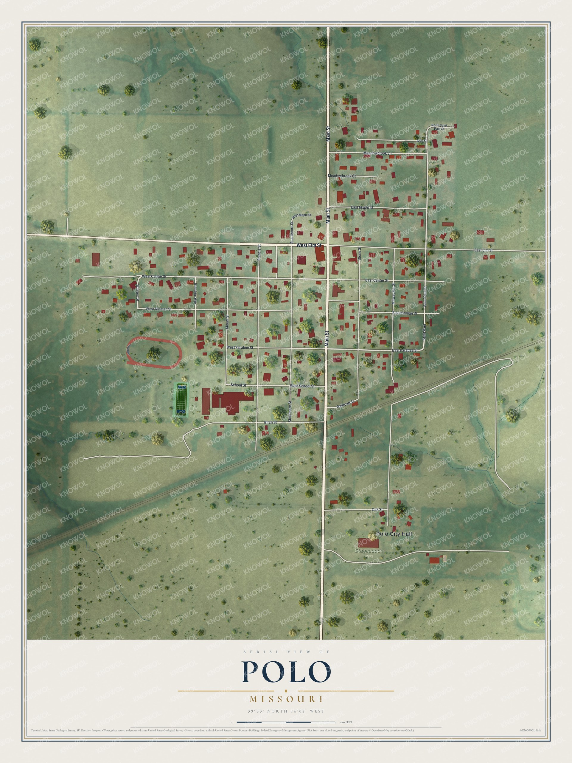
Created by KNOWOL in 2026, the print pairs soft green land with red buildings and pale roads. A cream border surrounds the view. The title panel reads AERIAL VIEW OF, POLO, MISSOURI, with 39°33' NORTH 94°02' WEST beneath it.
This Polo print suits a living room, office or entryway. It's a thoughtful gift for someone who grew up near Main Street or has family here. Open the preview and take a closer look at the streets you know. See sizes and frames for the Polo map.