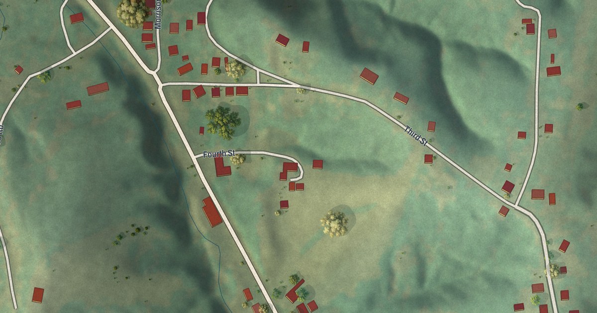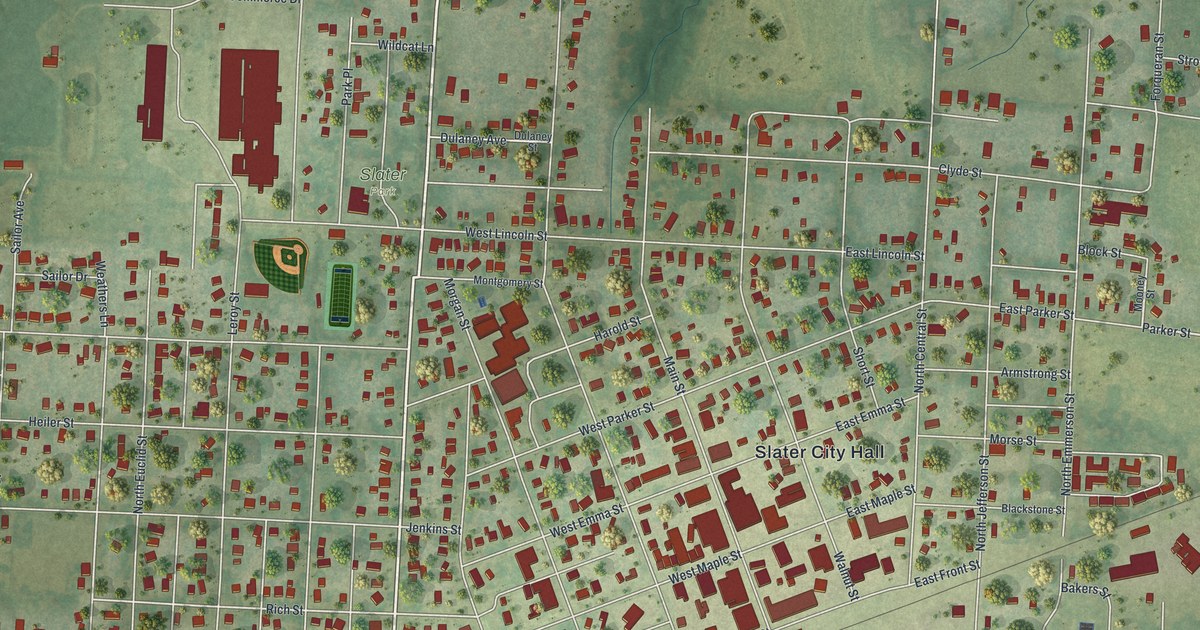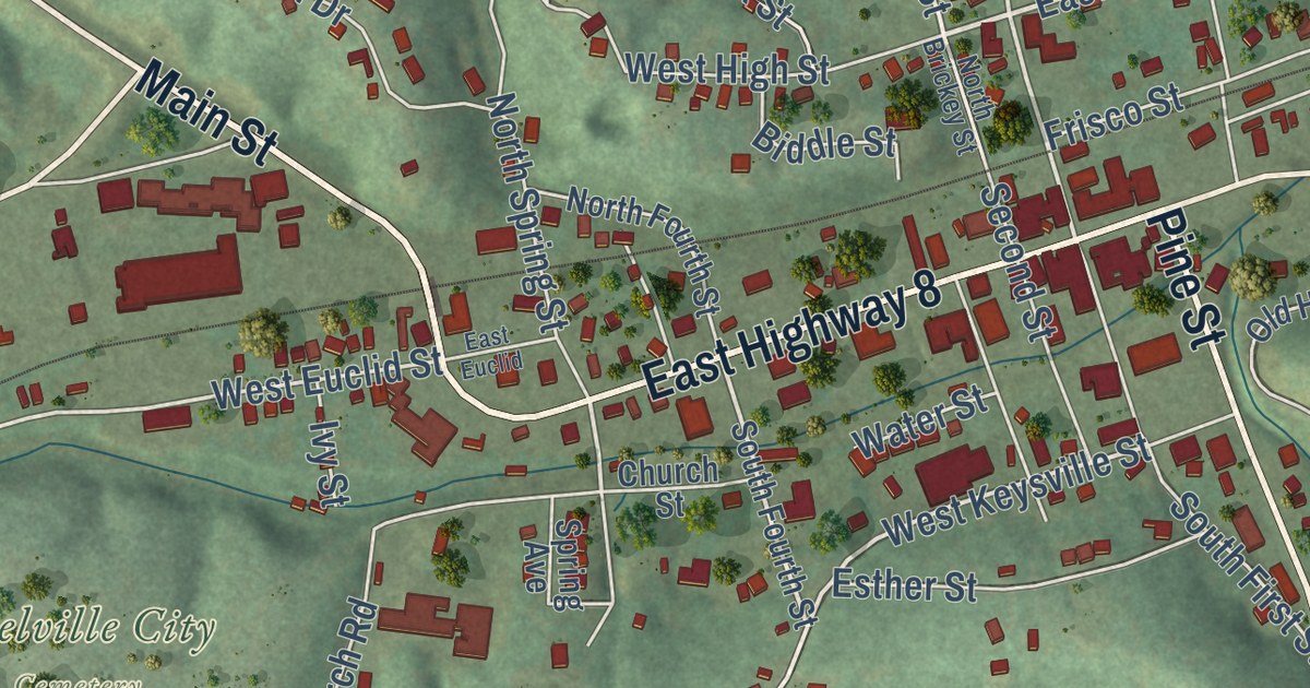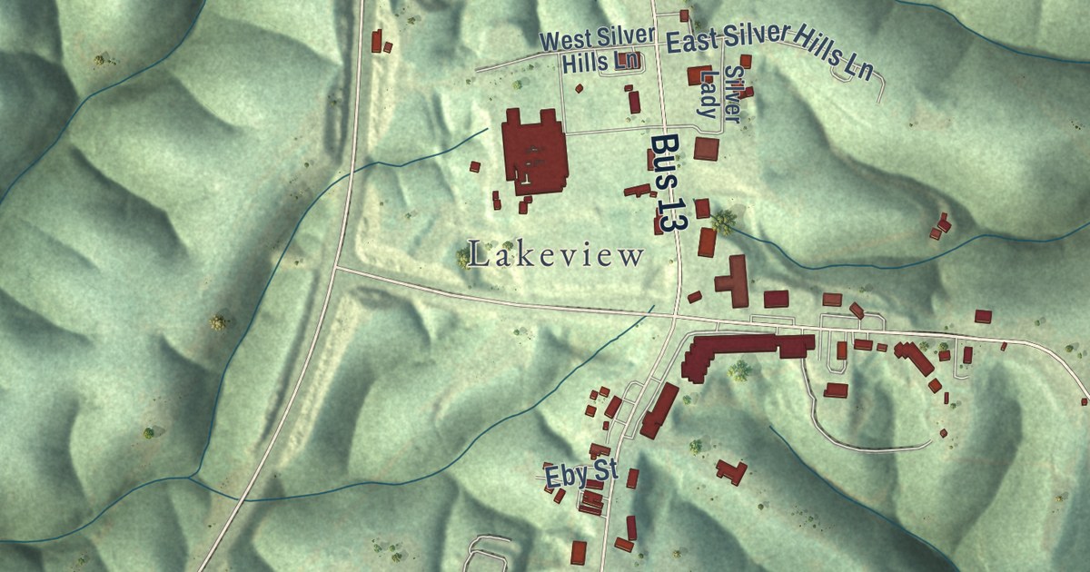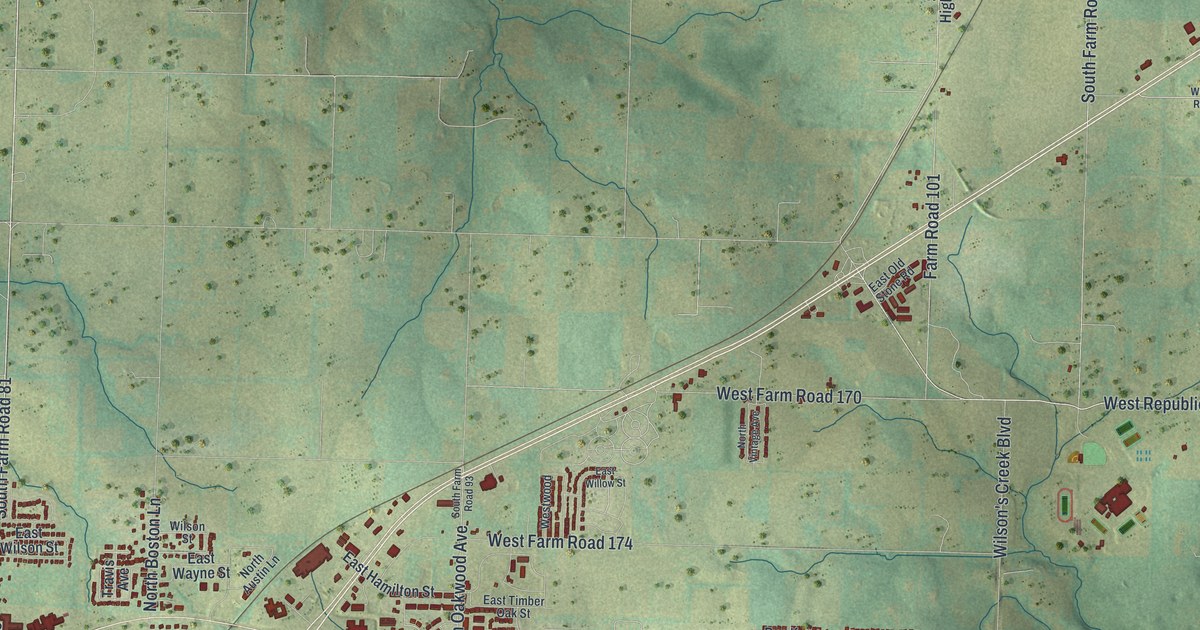
This beautifully detailed map of Republic, Missouri was created in 2026 using aerial imagery combined with modern topographical, census, street and landmark data. It’s a one-of-a-kind view of Republic that combines accurate data with a vintage aesthetic. The map shows every building in its true location, many of the roads carry their names, and the shaded topographic relief shows the shape of the land.
Explore an aerial view of Republic, Missouri
On the map you’ll find City of Republic City Hall, Brookline, West County Line Road 194, South Farm Road 89, South Farm Road 81, and West Farm Road 178, along with East Elm Street, North Main Avenue, South Lynn Avenue, West Republic Road, Kansas Street, Hines Street, and more. If you look closely you can even find your house accurately drawn in its correct location. Zoom in on the preview to look for yours.
Did you know this piece of Republic, Missouri history?
From the State Historical Society of Missouri: "January 1, 1879, William O'Neal platted the town which he named Republic on account of his patriotic zeal."
Take a closer look at the Republic map
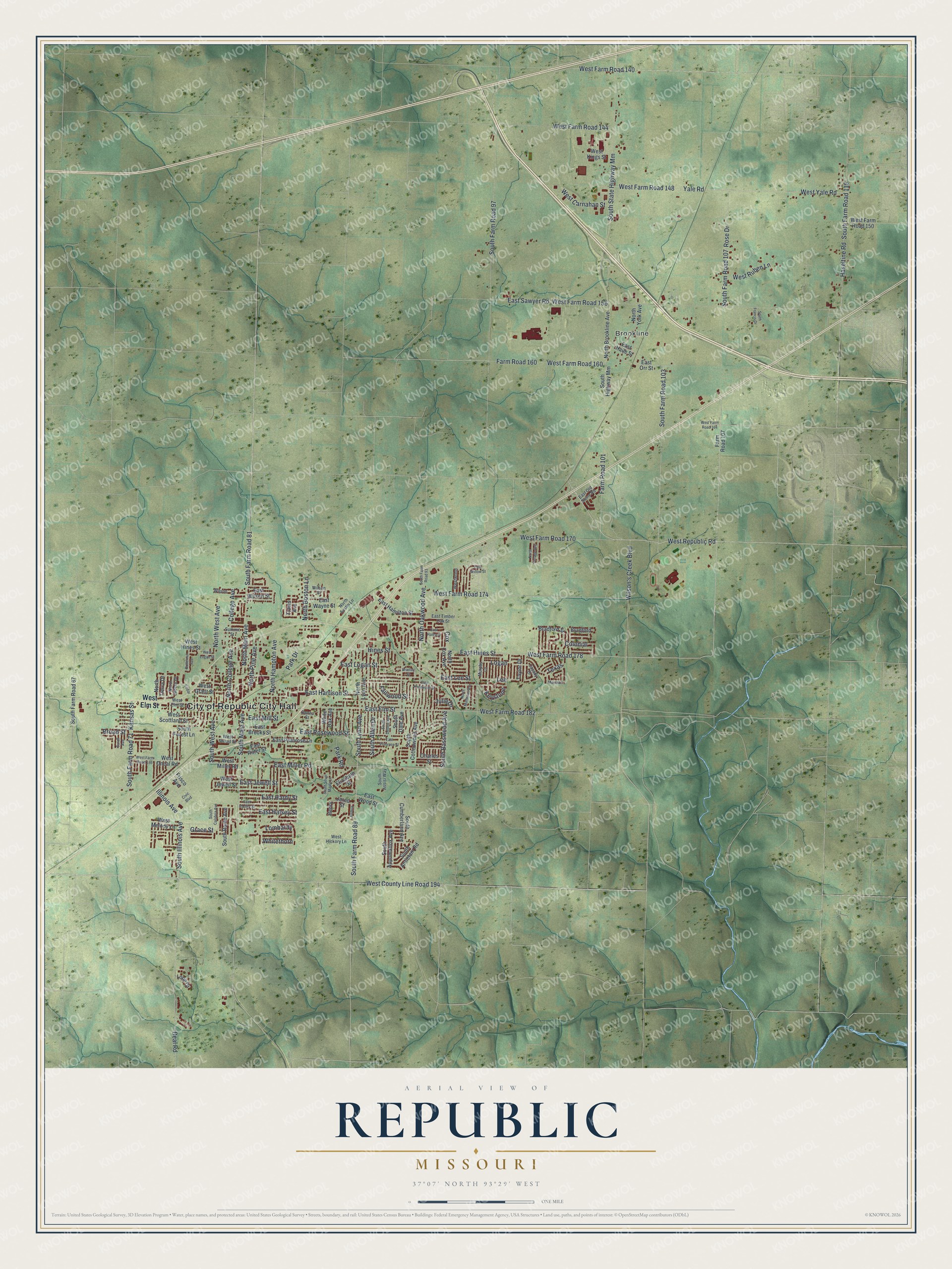
Street and place names on the Republic, Missouri map
These names are printed on the map of Republic, Missouri.
Places: City of Republic City Hall and Brookline.
Streets and roads: East Elm Street, North Main Avenue, West County Line Road 194, South Farm Road 89, South Farm Road 81, South Lynn Avenue, West Republic Road, West Farm Road 178, Kansas Street, Hines Street, South Farm Road 107, South Illinois Avenue.
More street names, A to Z
Beal Road, Bradford, Bradford Street, Bradley Street, Broad Street, Butternut Avenue, Casady Drive, Cedar, Charles Street, Civic Boulevard, College Avenue, Colonial, Cox, Donna Street, East Brooks Street, East Hadley Street, East Haile Street, East Haley Street, East Halsey Street, East Hamilton Street, East Hardy Street, East Harrison Street, East Hines Street, East Jewell Street, East Kentwood Street, East Lee Street, East Logan Street, East Miller Road, East Mill Street, East Old Stone Road, East Orr Street, East Primrose Lane, East Primrose Street, East Ritter Street, East Rosewood Street, East Sawyer Road, East Timber Oak Street, East Wayne Street, East Willow Street, East Wilson Street, East Wood Street, Elizabeth Street, Fairwood Street, Farm Road 101, Farm Road 107, Farm Road 160, Frisco Avenue, Grace Street, Haseltine Road, Henry, Illinois Avenue, Jared Street, Joshua, Julie Drive, Keystone, Lee, Logan, Lombardy, Long Drive, Marshall, Murphy Lane, North Austin Lane, North Boston Lane, North Brookline Avenue, North College Avenue, North Cox Avenue, North Hampton Avenue, North Ladera Drive, North Lynn Avenue, North Matteson Avenue, North Oakwood Avenue, North Pine Avenue, North Tierra Drive, North Vintage Avenue, North West Avenue, North York Avenue, Park Drive, Park Road, Rose Drive, Sarah Avenue, South Allen Drive, South Antietam Road, South Appomattox Avenue, South Assisi Way, South Basswood Avenue, South Calabria Avenue, South Cottonwood Avenue, South Cumberland Avenue, South Dale Avenue, South Debbie Avenue, South Farm Road 67, South Farm Road 71, South Farm Road 93, South Farm Road 97, South Farm Road 103, South Farm Road 115, South Forest Lane, South Francis Drive, South Highway Mm, South Main Avenue, South Rome Avenue, South Silver Maple Lane, South State Highway Mm, South West Avenue, Summit Street, Taylor Drive, Texas, Travis Avenue, West Broad Street, West Carnahan Street, West Elm Street, West Farm Road 140, West Farm Road 144, West Farm Road 148, West Farm Road 150, West Farm Road 156, West Farm Road 160, West Farm Road 164, West Farm Road 170, West Farm Road 174, West Farm Road 182, West Farm Road 186, West Grant Street, West Hickory Lane, West Hines Street, West Jewell Street, West Kings Street, West Logan Street, West Melody Lane, West Miller Road, West Oneal Road, West Ruben Lane, West Scottland Street, Westwood, West Yale Road, White Oak Avenue, Whitethorn, Wilson, Wilson's Creek Boulevard, Wilson Street, Yale Road.
See the Republic, Missouri map on a wall
The Republic map as an 18 x 24 inch print in a black frame.

This beautifully detailed map of Republic makes an attractive addition to your office, library, or den, and it can even be used to teach children the geography and history of the area. It also makes a great gift for someone who left Republic and still calls it home. When you’re done exploring, click here to get your copy of the Republic map.