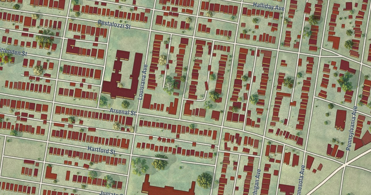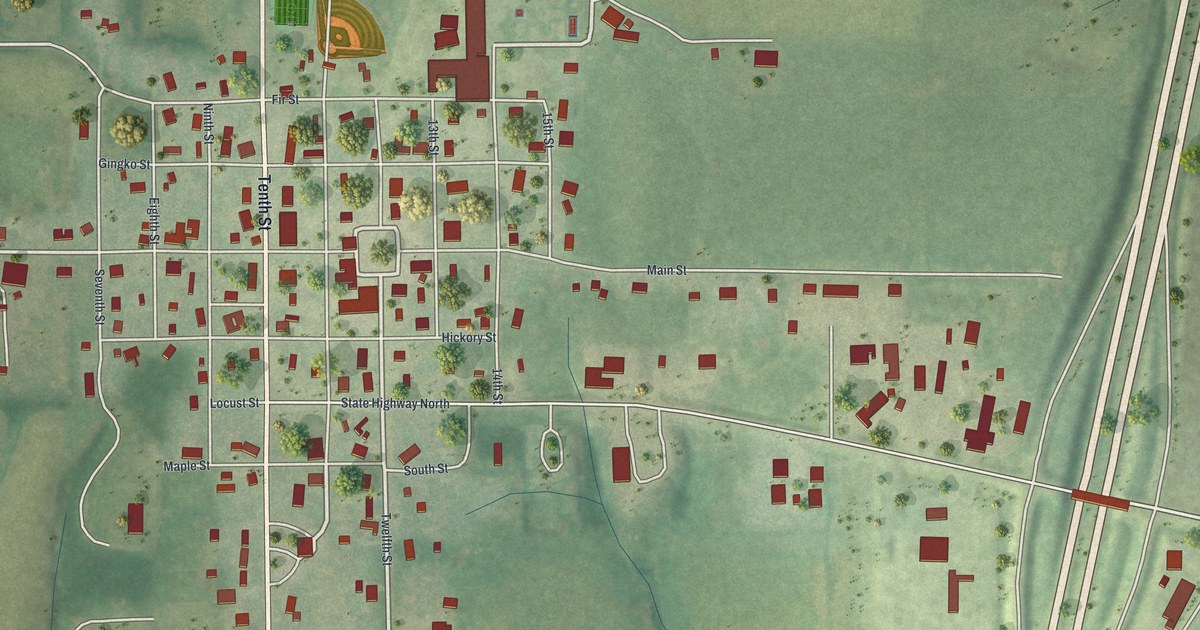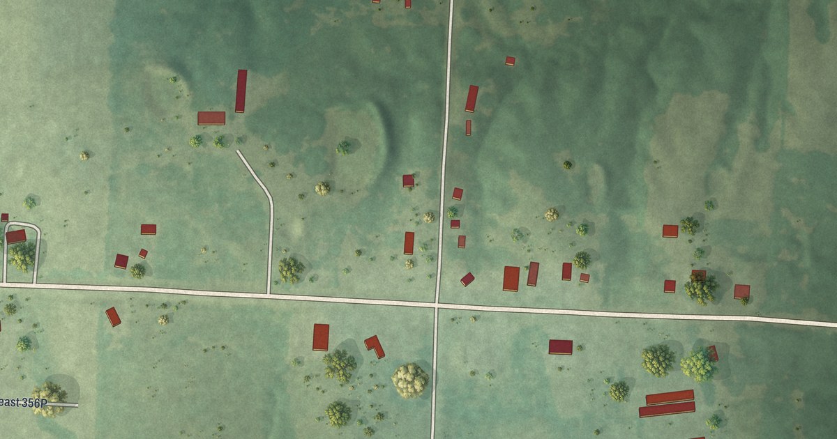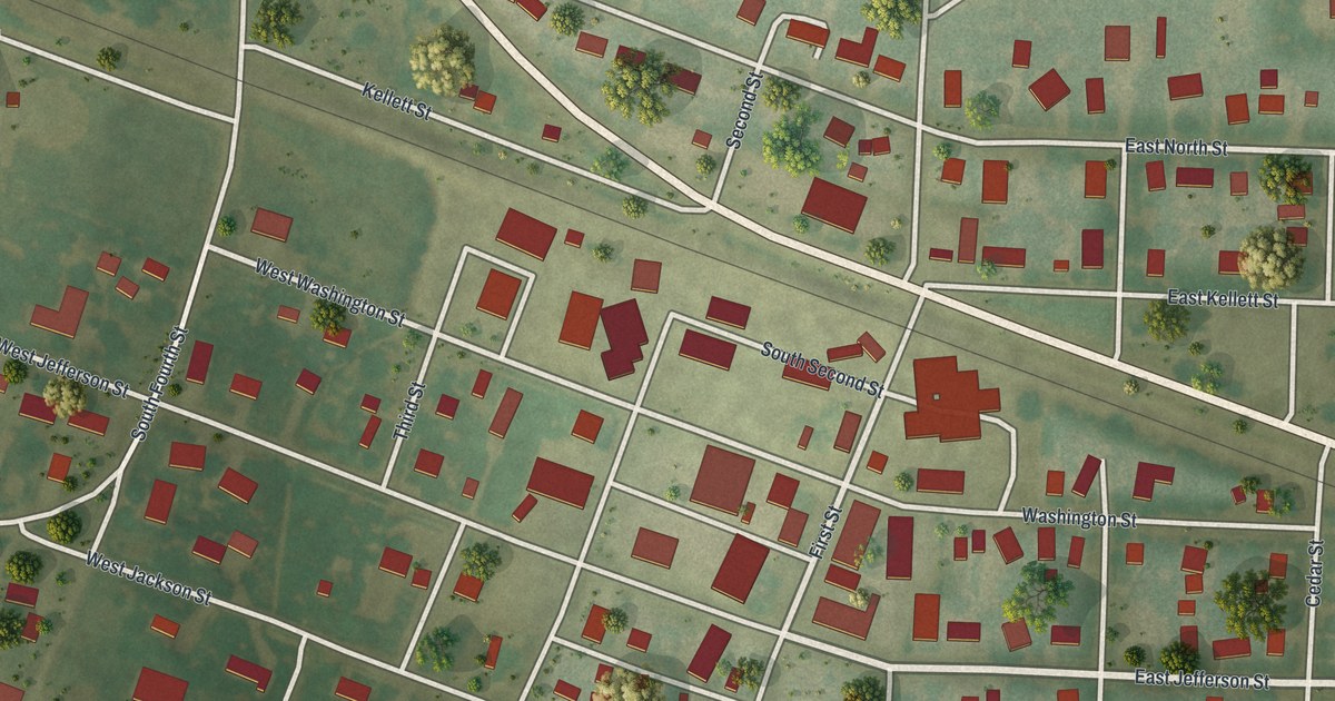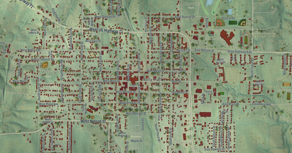
This beautifully detailed map of Savannah, Missouri was created in 2026 using aerial imagery combined with modern topographical, census, street and landmark data. It’s a one-of-a-kind view of Savannah that combines accurate data with a vintage aesthetic. The map shows every building in its true location, many of the roads carry their names, and the shaded topographic relief shows the shape of the land.
Explore an aerial view of Savannah, Missouri
On the map you’ll find City Hall, Duncan Park, Messick Park, Savannah Cemetery, and Savannah Youth Sports Complex, along with Highway 71, West US Highway 71, West Nelson Street, South Seventh Street, State Highway Dd, State Highway East, West Main Street, and more. If you look closely you can even find your house accurately drawn in its correct location. Zoom in on the preview to look for yours.
Did you know this piece of Savannah, Missouri history?
From the 1888 History of Andrew and De Kalb Counties, Missouri: "In the spring of 1873 the east side of the square in Savannah was burned, including the greater part of the material of the Republican office, entailing a heavy loss upon the company."
Take a closer look at the Savannah map
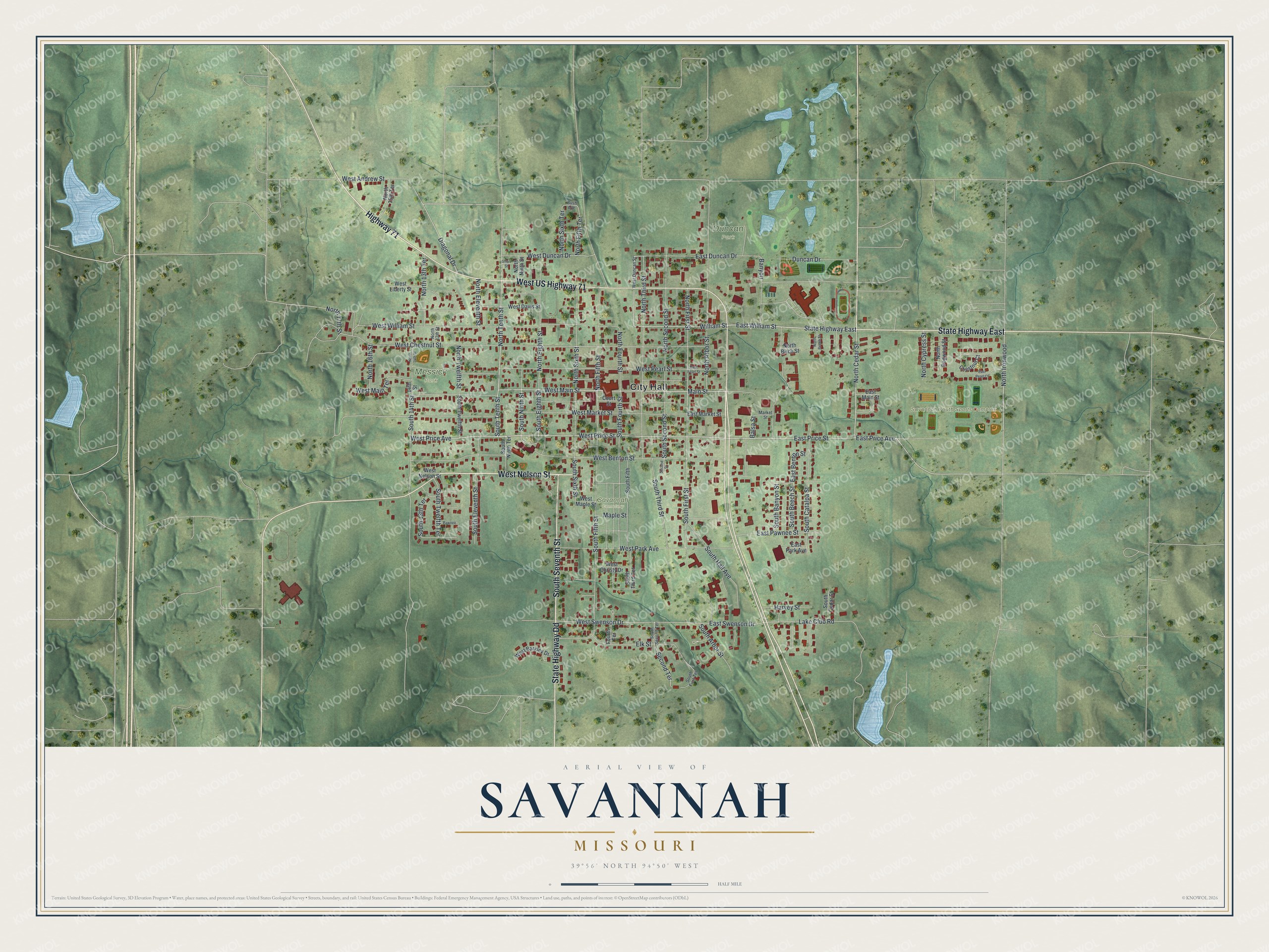
Street and place names on the Savannah, Missouri map
These names are printed on the map of Savannah, Missouri.
Places: City Hall, Duncan Park, Messick Park, Savannah Cemetery and Savannah Youth Sports Complex.
Streets and roads: Highway 71, West US Highway 71, West Nelson Street, South Seventh Street, State Highway Dd, State Highway East, West Main Street, North Tenth Street, East William Street, North Cedar Street, Main Street, William Street.
More street names, A to Z
14th Street, Balsa Street, Banyon, Bush Avenue, Chestnut Court, Court Street, Diagonal Drive, Duncan Drive, East Benton Street, East Duncan Drive, East Main Street, East Market Street, East Park Avenue, East Pawnee Street, East Pearl Court, East Pearl Street, East Price Avenue, East Price Street, East Swenson Drive, Elk Street, Fourth Terrace, Harvey Street, Lake Club Road, Maple Street, Market Street, North 13th Street, North 13th Terrace, North 14th Street, North 15th Terrace, North 16th Street, North 17th Street, North Arbor Street, North Beech Street, North Birch Street, North Cypress Street, North Dogwood Street, North Eighth Street, North Eleventh Street, North Fifth Street, North Fifth Terrace, North First Street, North Fourth Street, North Ironwood, North Ninth Street, North Second Street, North Sixth Street, North Sixth Terrace, North Third Street, North Twelfth Street, Pawnee, Second Street, Second Terrace, Short Street, South 13th Terrace, South 14th Street, South Arbor Street, South Banyon Street, South Beech Street, South Catalpa Street, South Cedar Street, South Eighth Street, South Eleventh Street, South Fifth, South Fifth Street, South First Street, South First Terrace, South Fourth Street, South Hall Avenue, South Ninth Street, South Ninth Terrace, South Second Street, South Second Terrace, South Sixth Street, South Tenth Street, South Third Street, South Third Terrace, South Twelfth Street, South Twelfth Terrace, West Andrew Street, West Barkley Drive, West Benton Street, West Chestnut Street, West Christy Drive, West Davis Street, West Duncan Drive, West Duncan Street, West Liberty Street, West Main Terrace, West Maple Street, West Market Street, West Park Avenue, West Pearl Street, West Price Avenue, West Price Street, West Swenson Drive, West William Street.
See the Savannah, Missouri map on a wall
The Savannah map as an 18 x 24 inch print in a black frame.

This beautifully detailed map of Savannah makes an attractive addition to your office, library, or den, and it can even be used to teach children the geography and history of the area. It also makes a great gift for anyone with Savannah roots. When you’re done exploring, click here to get your copy of the Savannah map.