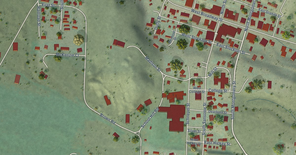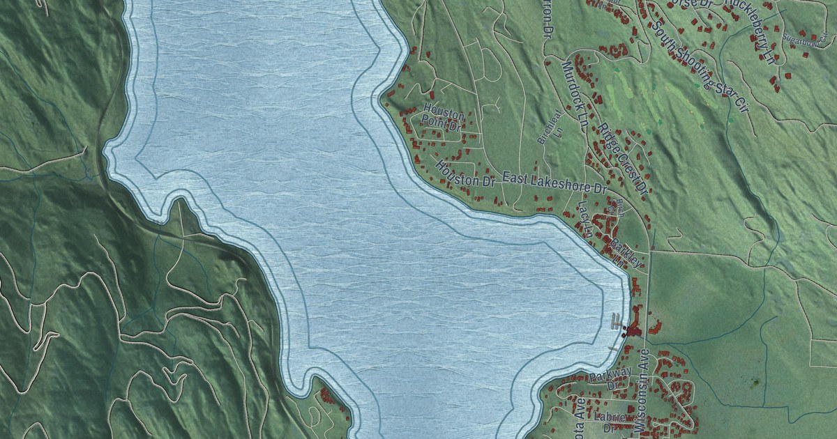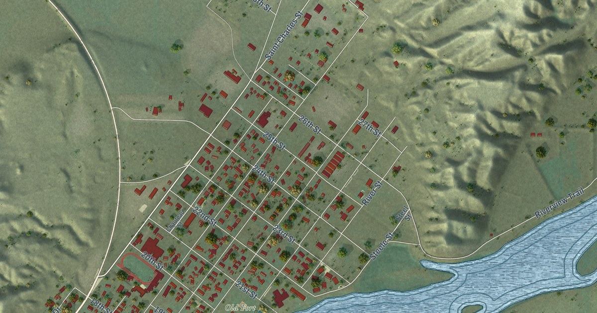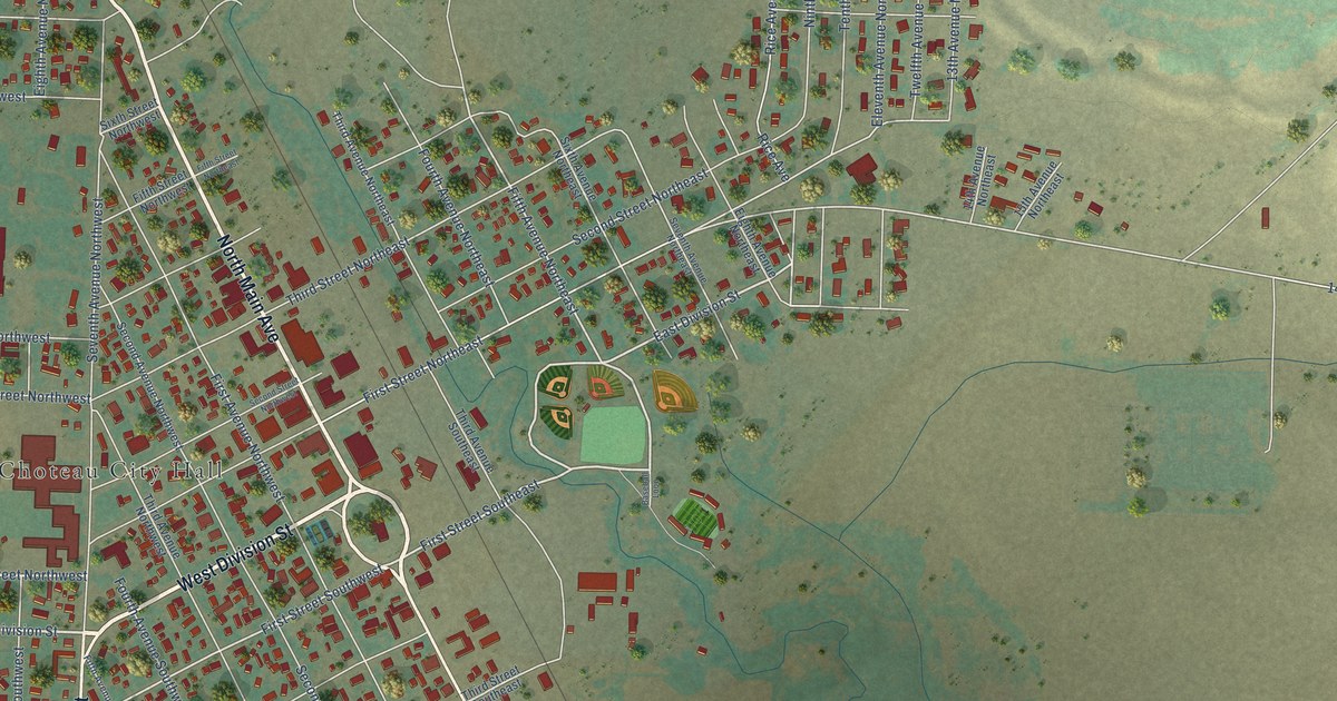
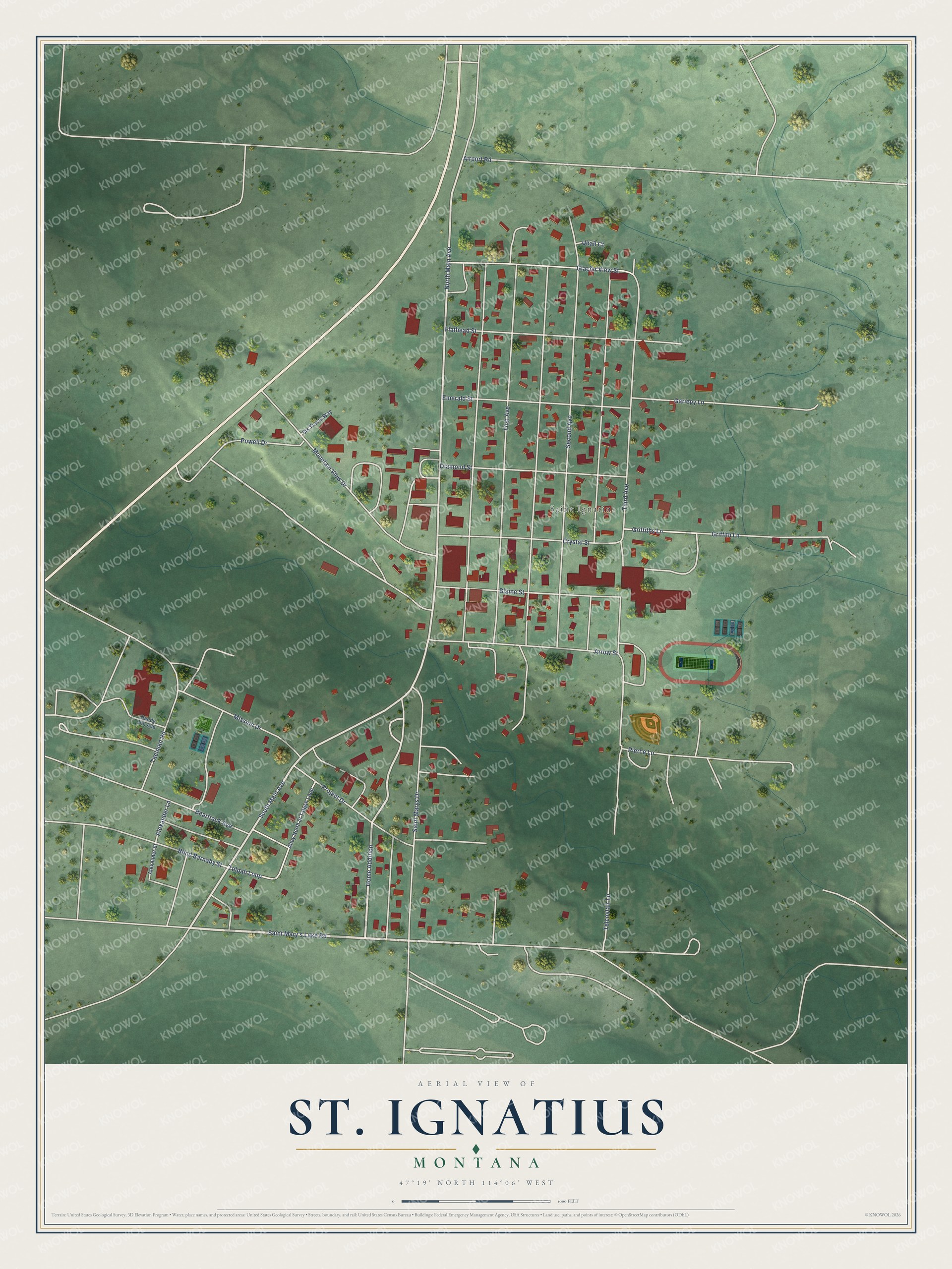
This beautifully detailed map of St. Ignatius, Montana was created in 2026 using aerial imagery combined with modern topographical, census, street and landmark data. It's a modern aerial view of St. Ignatius in Lake County, Montana, that combines modern data with a vintage aesthetic. The roads feature printed names, and if you look closely you can find your exact house accurately shown in its correct location.
Explore an aerial view of St. Ignatius, Montana
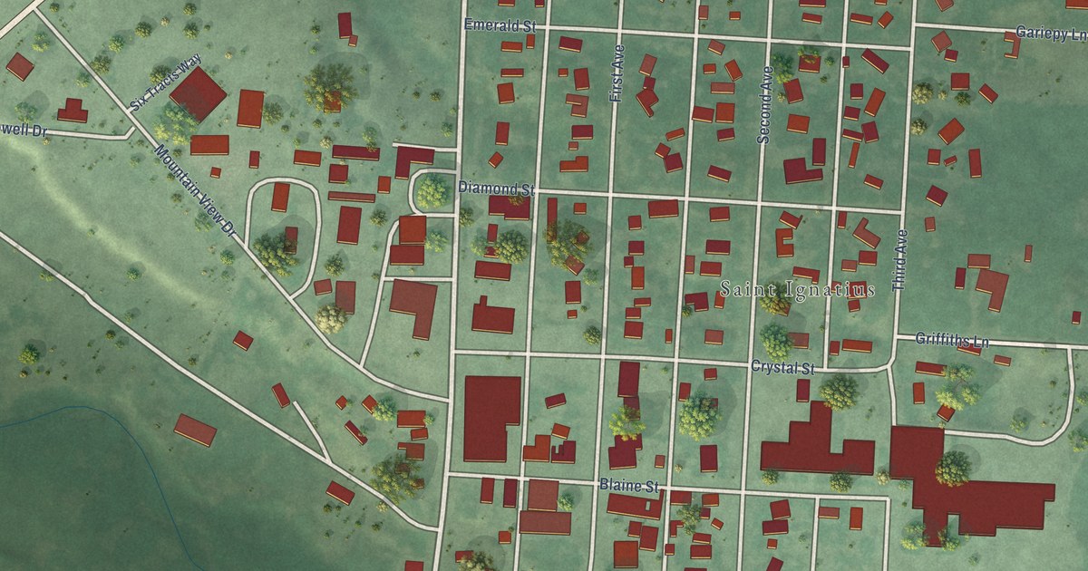
On this map you'll find Saint Ignatius, Saint Mary's Lake Road, Home Addition, South Main Avenue, North Main Avenue, Powell Drive, Beartrack Avenue, Griffiths Lane, Third Avenue, Second Avenue, First Avenue, Saint Marys Drive, and more. Each red shape is a building, so zoom in on the preview and look for yours.
Every town has a first chapter, and St. Ignatius is no exception. The Historical Marker Database puts it this way: "In 1853, St. Ignatius Mission was founded to serve the religious and educational needs of the Salish and Kootenai people. Father Hoecken and his Jesuit helpers built the original log cabin which still stands on the north side of this church."
St. Ignatius is a town in Lake County.
Take a closer look at the St. Ignatius map
Names on this map
These names are printed on this map.
Places: Saint Ignatius.
Streets and roads: Saint Mary's Lake Road, Home Addition, South Main Avenue, North Main Avenue, Powell Drive, Beartrack Avenue, Griffiths Lane, Third Avenue, Second Avenue, First Avenue, Saint Marys Drive, Mountain View Drive.
More street names, A to Z
Airport Road, Alexander Lane, Alexander Street, Alley North of Talpah Loop, Arrow Street, Blaine Street, Blind Barnaby Street, Crystal Street, Dandy Jim Avenue, Diamond Street, Emerald Street, Flathead Street, Gariepy Lane, Glacier View Street, Griffith Lane, Mission Drive, Pierce Lane, Project Drive, Six Tracts Way, Taelman Road, Telcostair Lane, Telpah Loop, Udall Court.
Created by KNOWOL in 2026. The buildings are small red shapes, the roads carry their printed names, and shaded relief shows the shape of the land. The title panel reads "AERIAL VIEW OF ST. IGNATIUS MONTANA" with 47°19' NORTH 114°06' WEST.
Hang it in the hallway, the office or the cabin, or give it to someone who left St. Ignatius and still calls it home. Open the preview and look for a street you know. See sizes and frames for the St. Ignatius map.