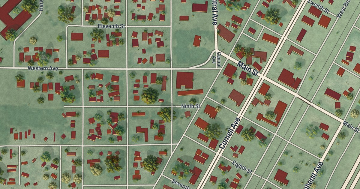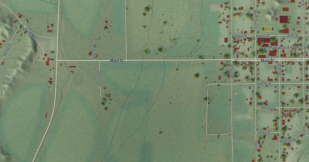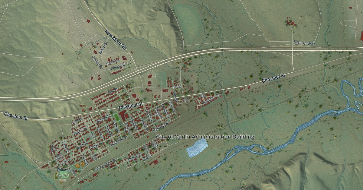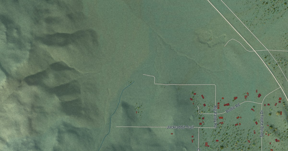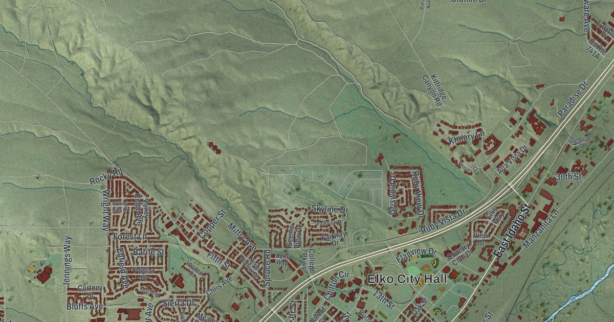
This beautifully detailed map of Elko, Nevada was created in 2026 using aerial imagery combined with modern topographical, census, street and landmark data. It’s a one-of-a-kind view of Elko that combines accurate data with a vintage aesthetic. The map shows every building in its true location, many of the roads carry their names, and the shaded topographic relief shows the shape of the land.
Explore an aerial view of Elko, Nevada
On the map you’ll find Elko City Hall, Ballous Addition, and Coin, along with Mountain City Highway, East Idaho Street, South Fifth Street, Idaho Street, West Idaho Street, Fifth Street, Lamoille Highway, West Cedar Street, Cedar Street, and more. If you look closely you can even find your house accurately drawn in its correct location. Zoom in on the preview to look for yours.
Did you know this piece of Elko, Nevada history?
From Onlinenevada.org: "Most modern structures in Elko would last only a year or two before a fire destroyed them in 1871. A brick-making machine was brought in, and many businesses rebuilt on a more permanent basis."
Take a closer look at the Elko map
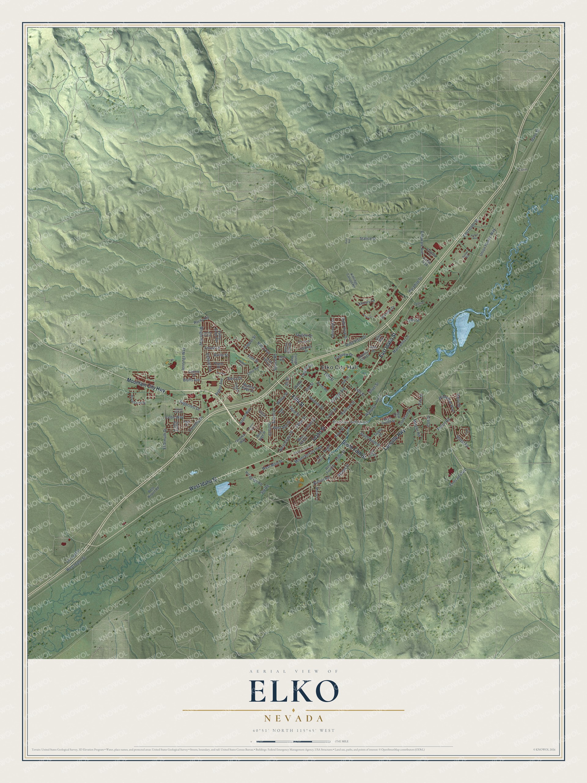
Street and place names on the Elko, Nevada map
These names are printed on the map of Elko, Nevada.
Places: Elko City Hall, Ballous Addition and Coin.
Streets and roads: Mountain City Highway, East Idaho Street, South Fifth Street, Idaho Street, West Idaho Street, Fifth Street, Lamoille Highway, West Cedar Street, Cedar Street, Sagecrest Drive, Rocky Road, Bullion Road.
More street names, A to Z
13th Street, 14th Street, 30th Street, Adams Street, Alta Vista Drive, Argent Avenue, Aspen Way, Barite Street, Benti Way, Bluffs Avenue, Burns Road, Carlin Court, Celtic Way, Chilton Circle, Chris Avenue, Cimarron Way, Clarkson Drive, Clover Hills Drive, College Avenue, College Parkway, Colonial Drive, Colt Drive, Connolly Drive, Copper Street, Cortney Drive, Country Club Drive, Court Street, Daisy Drive, Dawn Drive, Delaware Avenue, Dotta Drive, Douglas Street, El Armuth Drive, El Dorado Drive, Ellis Way, Elm Street, Enfield Avenue, Errecart Boulevard, Fairway Drive, Flagview Drive, Forest Lane, Front Street, Griswold Drive, Hillside Drive, Hot Springs Road, Ironhorse Drive, Itc Street, Jennings Way, Juniper Street, Khoury Lane, Kittridge Canyon Road, Liberty Drive, Manzanita Lane, Meadow Ridge Drive, Metzler Road, Mittry Avenue, Morse Lane, North Hollow Drive, Oak Street, Opal Drive, Paradise Drive, Parkview Drive, Pima Avenue, Pinion Road, Pioneer Way, Poplar Drive, Railroad Street, Rifle Range Road, River Street, Rodeo Court, Rolling Hills Drive, Romeo Way, Royal Crest Drive, Ruby View Drive, Ruby Vista Drive, Saddle Drive, Sage Street, Scenic View Drive, Seventh Street, Sewell Drive, Shadow Ridge Drive, Sharps Acc, Sierra Drive, Silver Street, Skyline Drive, South Ninth Street, South Twelfth Street, Spruce Road, Statice Street, Stitzel Road, Stp Road, Teal Way, Terminal Way, Third Street, Union Pacific Way, Valley Ridge Avenue, View Drive, Villa Drive, Walnut Street, Water Street, West Airport Road, West Ash Street, West Commercial Street, West Douglas Street, West Front Street, West Main Street, West Pine Street, West Sage Street, Wildwood Way, Willow Street, Woods Court, Wright Way.
See the Elko, Nevada map on a wall
The Elko map as an 18 x 24 inch print in a black frame.

This beautifully detailed map of Elko makes an attractive addition to your office, library, or den, and it can even be used to teach children the geography and history of the area. It also makes a great gift for anyone with Elko roots. When you’re done exploring, click here to get your copy of the Elko map.