


Nevada Town Maps A to Z
All 152 town maps, from Alamo to Zephyr Cove. Each one opens its own page with the whole map.
A
B
C
D
E
F
G
H
I
J
K
L
M
N
O
P
R
S
T
U
V
W
Y
Z
Don’t see your town? Ask us to draw it.
About Nevada
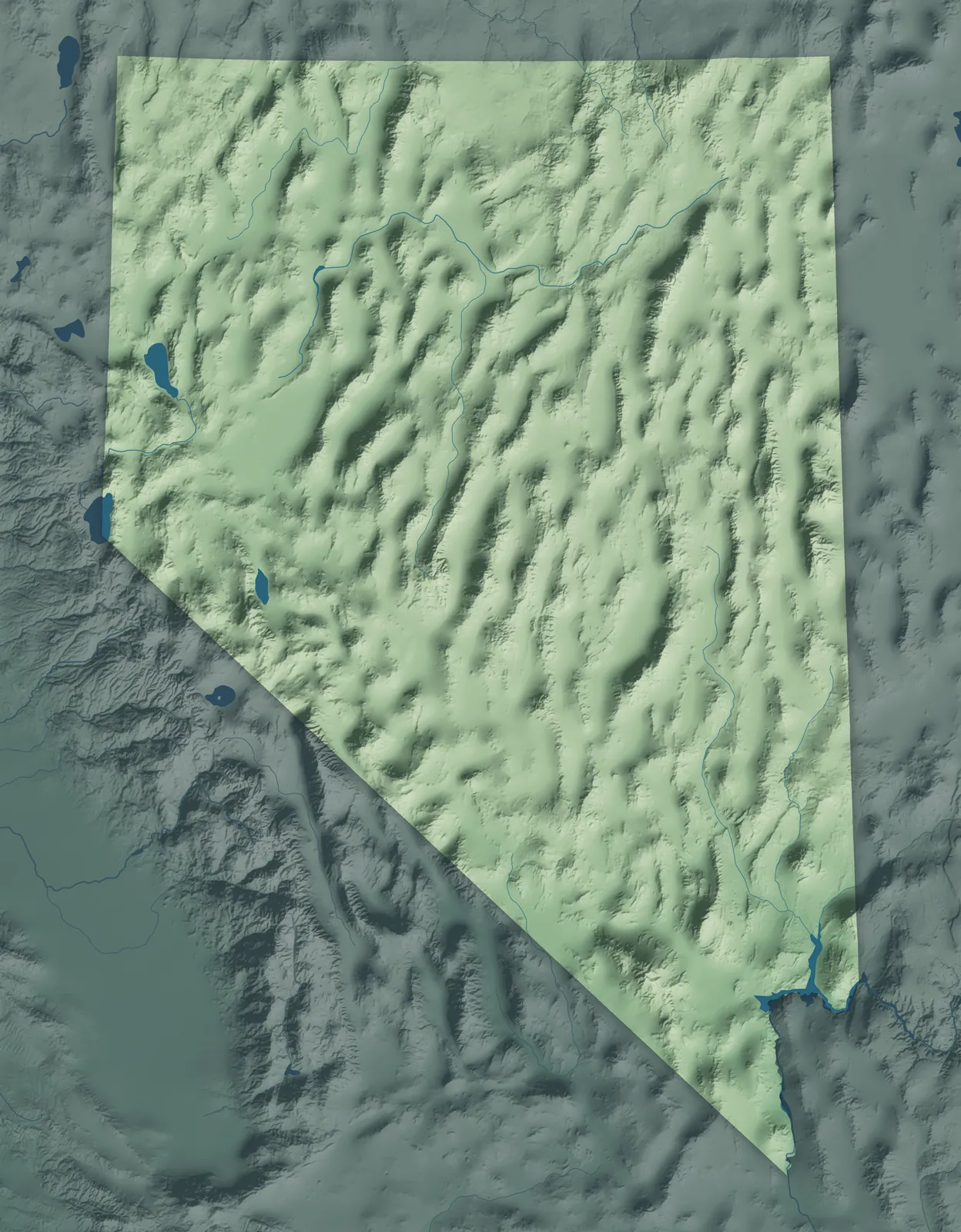
Nevada has more than 300 mountain ranges, with wide desert valleys between them. Most of the state lies in the Great Basin, where the rivers never reach the sea. Lake Tahoe and the Sierra Nevada mark the west, and the Mojave Desert fills the south. Nevada became a state in the middle of the Civil War, which is why its flag says "Battle Born."
Nearly three in four Nevadans live in and around Las Vegas, and most of the rest live near Reno and Carson City. Many towns began as mining camps, and others started as railroad stops, ranch towns and county seats. The Washoe, Paiute, Shoshone and Mojave peoples were here first. Their tribes still hold reservations across the state, and a small tribal land near a town here is called a colony.
- Statehood
- October 31, 1864
- Capital
- Carson City
- Population
- 3,282,1882025 Census estimate
- Highest point
- Boundary Peak, 13,147 feet
- Lowest point
- Colorado River at the California border, 479 feet
- Size
- 110,572 square miles, the 7th largest state
Las Vegas and Southern Nevada
Las Vegas, Henderson and North Las Vegas fill a desert valley ringed by mountains, with Mesquite, Boulder City and Laughlin farther out. Las Vegas is Spanish for "the meadows," for the green land around the valley's springs. The city began on May 15, 1905, when a railroad sold town lots at auction. Boulder City was built in 1931 to house the Hoover Dam workers, and it still doesn't allow gambling.


Reno, Carson City and Lake Tahoe
Reno, Sparks and Carson City sit at the foot of the Sierra Nevada, with Lake Tahoe up in the mountains on the California line. Genoa began as a trading post in 1851, the first permanent non-Native settlement in what's now Nevada. The Comstock Lode silver strike of 1859 built Virginia City, and in its newspaper Samuel Clemens first signed his name Mark Twain, in 1863. Reno started in 1868 as a stop on the Central Pacific Railroad.


Elko, Winnemucca and Cowboy Country
Interstate 80 follows the Humboldt River through this ranch country, past Lovelock, Winnemucca, Elko and Wells. The California Trail followed the same river west, and the Central Pacific Railroad laid out Elko in 1868. Winnemucca is named for a Northern Paiute chief whose daughter, Sarah Winnemucca, wrote one of the first books by a Native American woman. Elko held its first Cowboy Poetry Gathering in 1985, and poets still come every winter.


Highway 50, the Loneliest Road
Highway 50 crosses the middle of Nevada from Dayton, Fernley and Fallon east through Austin, Eureka and Ely, much of it on the old Pony Express route. Life magazine called it the Loneliest Road in America in 1986, and Nevada took up the name to draw travelers. Eureka's opera house, opened in 1880, has been restored and is in use again. In Ely, the Nevada Northern Railway, built to haul copper ore, now runs excursion trains.


Pahrump, Tonopah and the Silver Trails
Pahrump, Tonopah, Hawthorne, Pioche and Caliente are spread across the wide desert valleys of central and southeastern Nevada. Jim Butler's silver find in May 1900 started Tonopah. Gold found nearby in 1902 built Goldfield, for a time the biggest town in Nevada. Pioche's "Million Dollar Courthouse," finished in 1872, ran so far over budget that the county was still paying for it more than 60 years later.


- 12 × 18 inPrint $39.99Framed $89.99
- 18 × 24 inPrint $49.99Framed $129.99
- 24 × 36 inPrint $89.99Framed $199.99

Sizes and Prices
Every map comes in three sizes on archival matte paper. Framed prints come in black or white wood.
How each map is made
It starts with the real place
Streets, buildings, terrain and water form the map, drawn the way Nevada looks today.
Then the details
Local research and an old atlas style give each town its character.
Then it's yours
Look around the map, then pick a print to keep or give.
















