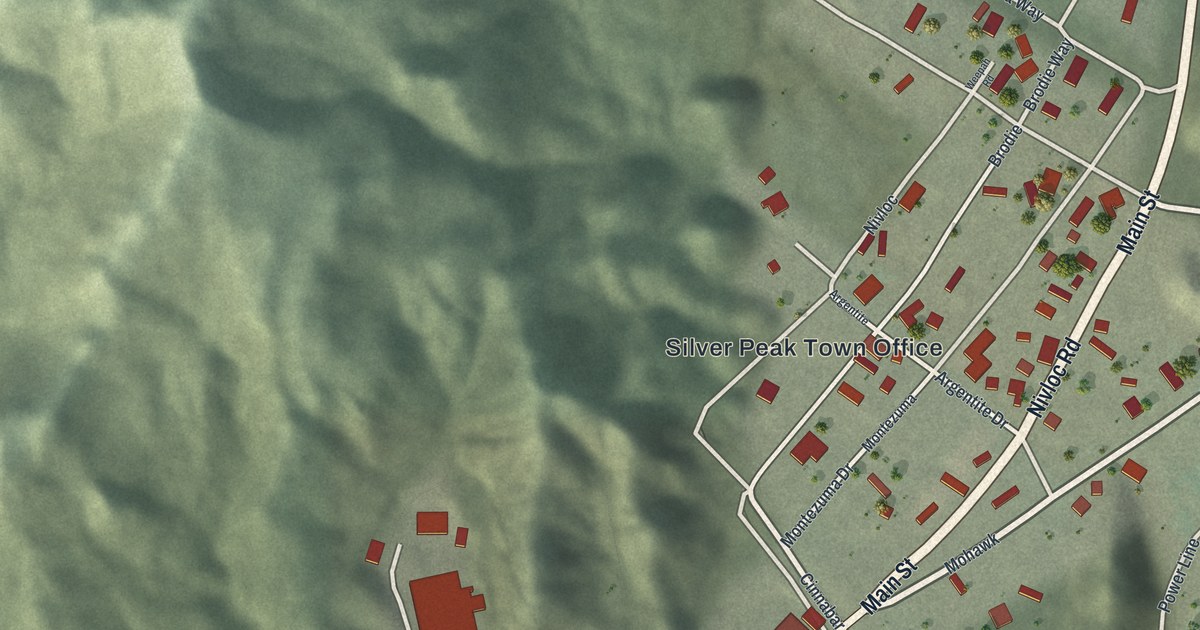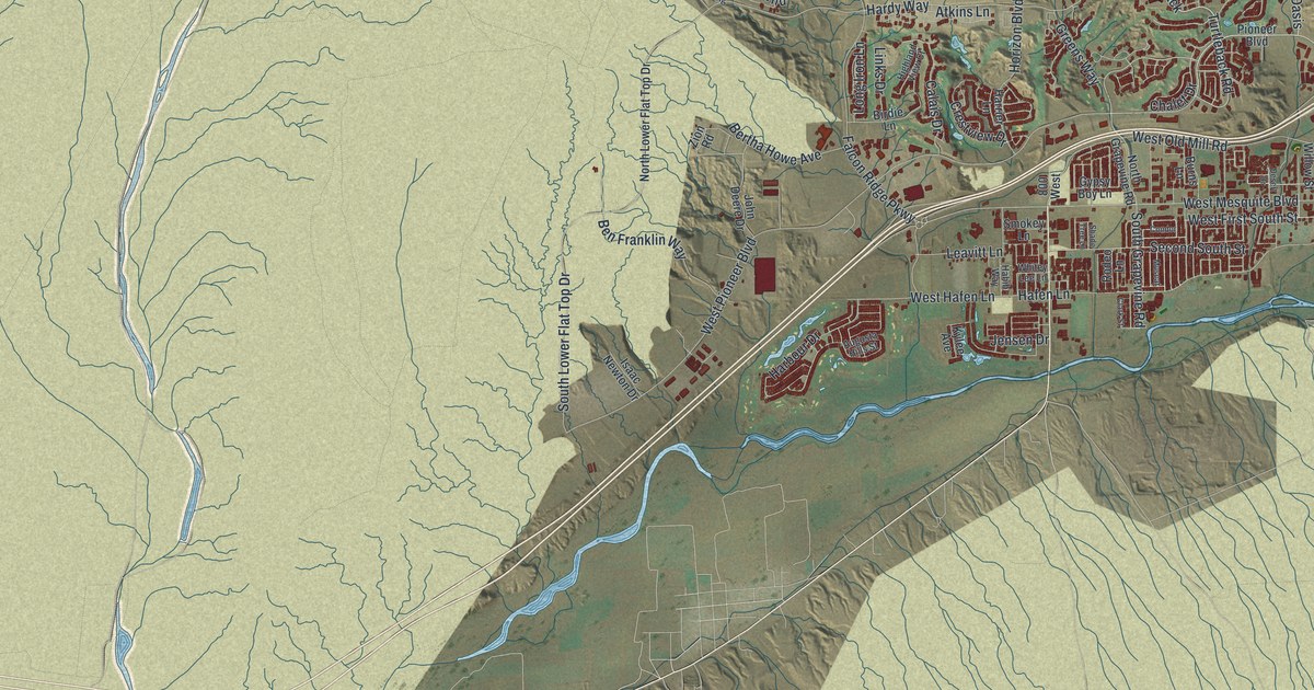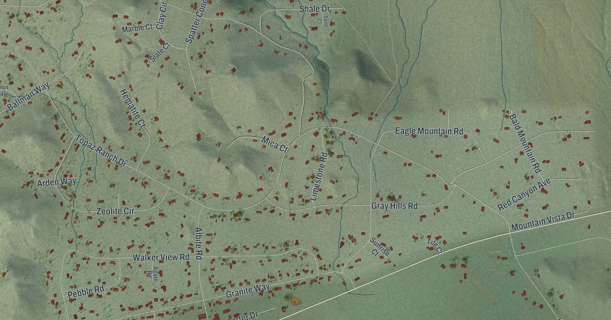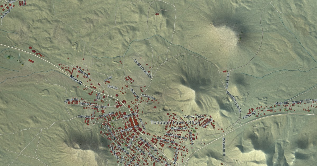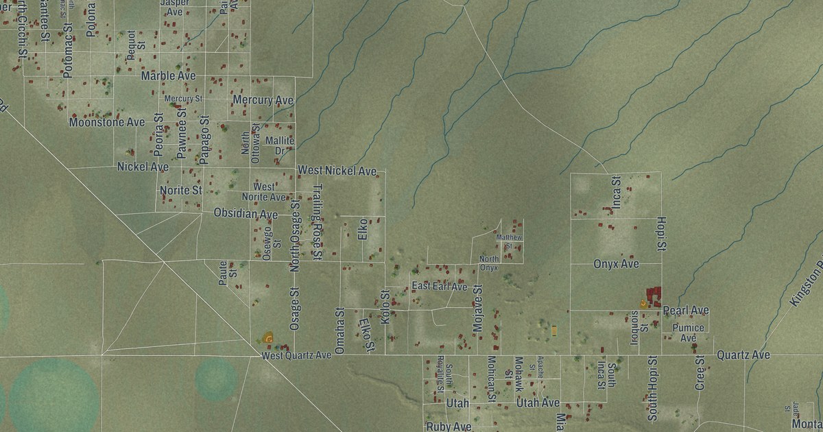
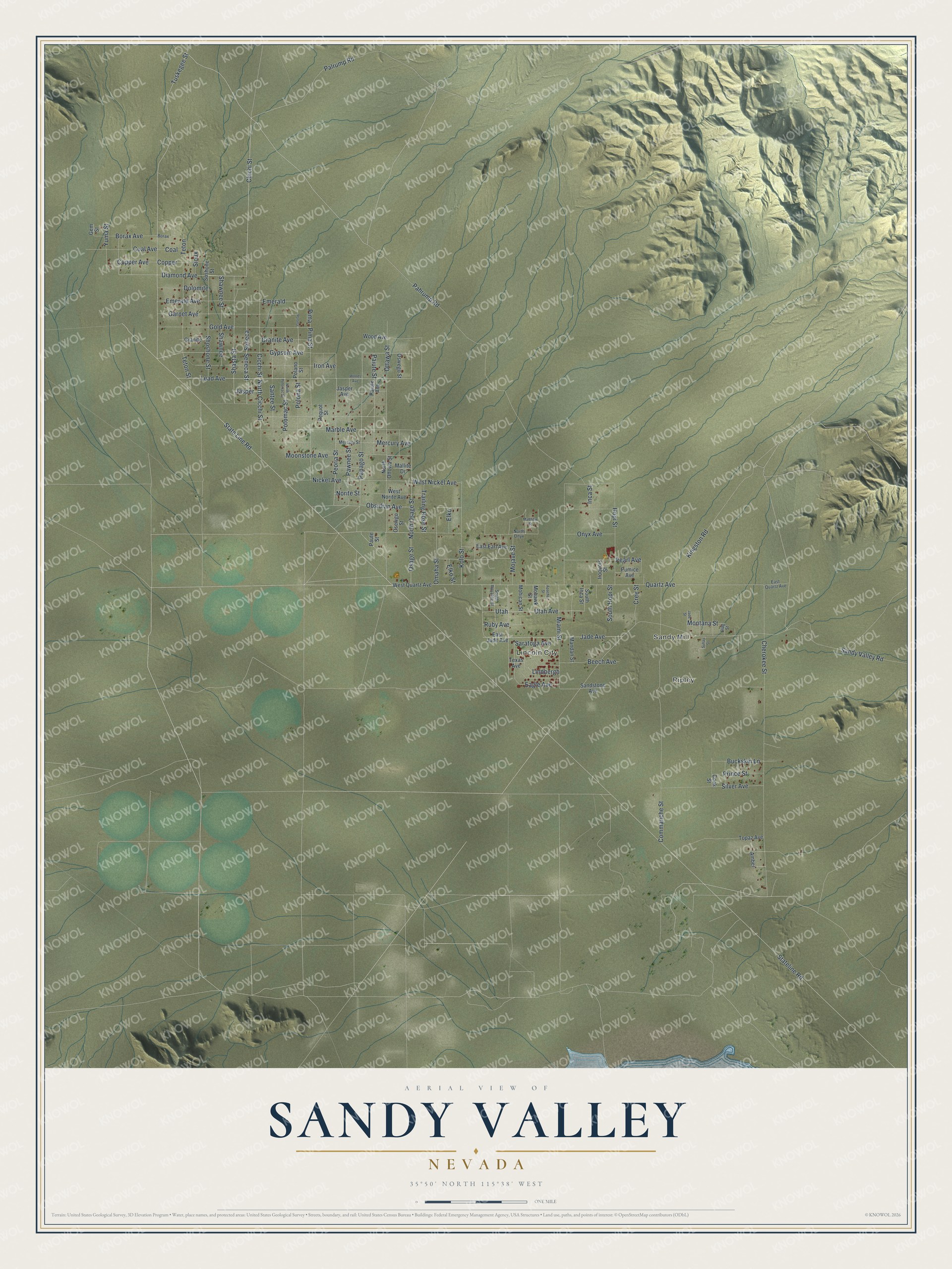
This beautifully detailed map of Sandy Valley, Nevada was created in 2026 using aerial imagery combined with modern topographical, census, street and landmark data. It's a modern aerial view of Sandy Valley in Clark County, Nevada, that combines modern data with a vintage aesthetic. The roads feature printed names, and if you look closely you can find your exact house accurately shown in its correct location.
Explore an aerial view of Sandy Valley, Nevada
On this map you'll find Ripley, Sandy Mill, Lincoln City, Pahrump Road, Tuskegee Street, Mojave Street, Chichi Street, Diamond Avenue, Granite Avenue, Quartz Avenue, Jasper, Peoria Street, and more. Each red shape is a building, so zoom in on the preview and look for yours.
Here is a piece of Sandy Valley history, in the words of the record. The Clark County planning department puts it this way: "Sandy Valley came into being in 1893 when a ten stamp mill was constructed to handle the ore from the Keystone gold mine. It was granted a post office in January of 1896."
Sandy Valley is a community in Clark County. The Census Bureau counted 1,663 people here in 2020.
Take a closer look at the Sandy Valley map
Names on this map
These names are printed on this map.
Places: Ripley, Sandy Mill and Lincoln City.
Streets and roads: Pahrump Road, Tuskegee Street, Mojave Street, Chichi Street, Diamond Avenue, Granite Avenue, Quartz Avenue, Jasper, Peoria Street, Seneca Street, Osage Street, Gypsum Avenue.
More street names, A to Z
Amber, Apache Street, Beech Avenue, Borax, Borax Avenue, Buckskin Lane, Cherokee Street, Cicchi Street, Coal, Coal Avenue, Commanche Street, Cook Street, Copper, Copper Avenue, Cree Street, Dolomite, Eagle Avenue, East Earl Avenue, East Jade Avenue, East Quartz Avenue, Elko, Elko Street, Emerald, Emerald Avenue, Flag Street, Garnet Avenue, Gem Street, Gold Avenue, Granite, Hopi Street, Inca Street, Iron Avenue, Iroquois Street, Jade Avenue, Jade Street, Jasper Avenue, Kingston Road, Kolo Street, Lead Avenue, Lindbergh, Mallite Drive, Mandan Street, Marble Avenue, Matthew Street, Mercury Avenue, Mercury Street, Miami Street, Mohawk Street, Mohican Street, Montana Street, Moonstone Avenue, Nickel Avenue, Norite Street, North Cicchi Street, North Onyx, North Osage Street, North Ottowa Street, North Potomac Street, Obsidian Avenue, Omaha Street, Onyx Avenue, Osewgo Street, Oswego Street, Ottawa Street, Paiute Avenue, Paiute Street, Palrump Road, Papago Street, Paute Street, Pawnee Street, Pearl Avenue, Pequot Street, Pima, Pima Street, Polano Street, Polona, Polona Street, Potomac Street, Prince Street, Pumice Avenue, Ruby Avenue, Sandstone Avenue, Sandy Valley Road, Santee Street, Saratoga Avenue, Seneca, Shasta Street, Shawnee, Shawnee Street, Shoshone Street, Silver Avenue, Sioux, Soshone Street, South Hopi Street, South Inca Street, South Royalite Street, State Line Road, Stateline Road, Suhay Street, Teton, Teton Street, Texas Avenue, Topaz Avenue, Trailing Rose Street, Utah, Utah Avenue, West Nickel Avenue, West Norite Avenue, West Quartz Avenue, Wood Avenue, Woods Avenue, Yuma Street.
See it on a wall
The Sandy Valley map as a framed print. Swipe for more.


Created by KNOWOL in 2026. The buildings are small red shapes, the roads carry their printed names, and shaded relief shows the shape of the land. The title panel reads "AERIAL VIEW OF SANDY VALLEY, NEVADA" with 35°50' NORTH 115°38' WEST.
It suits a den, a classroom or a front hall, and it makes a gift for anyone with Sandy Valley roots. Open the preview and find the block you know. See sizes and frames for the Sandy Valley map.