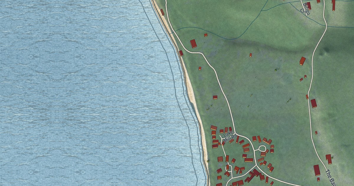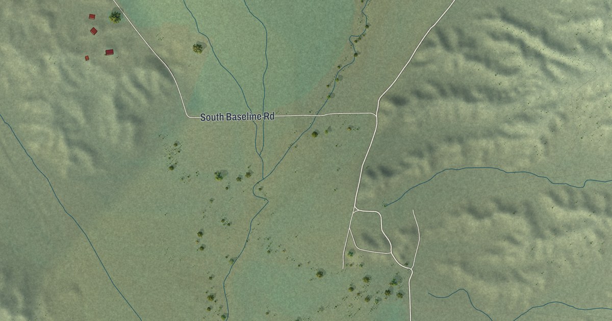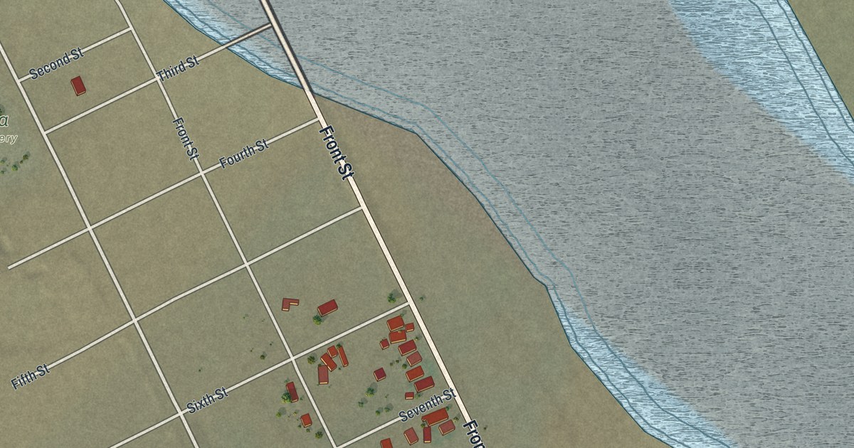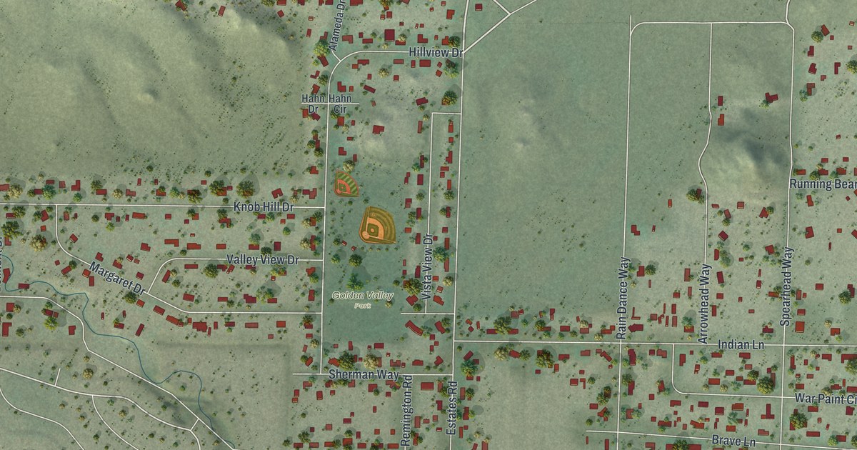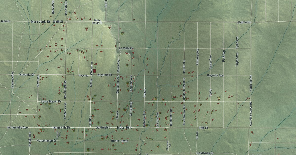
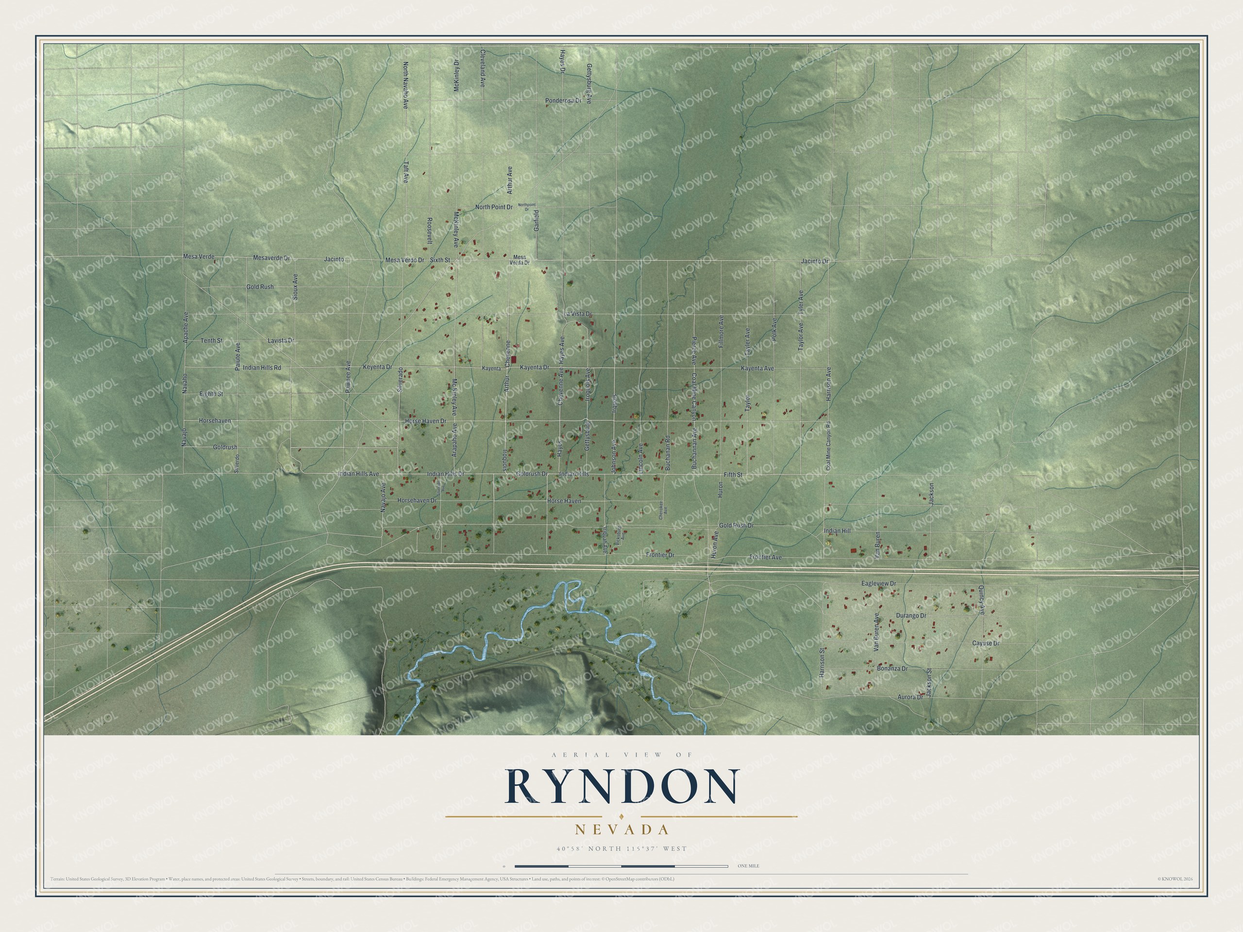
This beautifully detailed map of Ryndon, Nevada was created in 2026 using aerial imagery combined with modern topographical, census, street and landmark data. It's a modern aerial view of Ryndon in Elko County, Nevada, that combines modern data with a vintage aesthetic. The roads feature printed names, and if you look closely you can find your exact house accurately shown in its correct location.
Explore an aerial view of Ryndon, Nevada
On this map you'll find Jacinto Drive, Sixth Street, Cheyenne, Iroquois, Indian Hills Drive, Indian Hills Avenue, Arapaho Avenue, Cheyenne Avenue, Horsehaven Drive, Gold Rush Drive, Navajo Avenue, Mesa Verde Drive, and more. Each red shape is a building, so zoom in on the preview and look for yours.
Here is a piece of Ryndon history. The name Ryndon belonged to a small railroad station with no agent on the Southern Pacific's Elko Subdivision, between Elburz and Osino. Ryndon also had its own post office for about a year, from January 22, 1903, to March 31, 1904. That's from the Nevada Place Names dictionary.
Ryndon is a community in Elko County.
Take a closer look at the Ryndon map
Names on this map
These names are printed on this map.
Streets and roads: Jacinto Drive, Sixth Street, Cheyenne, Iroquois, Indian Hills Drive, Indian Hills Avenue, Arapaho Avenue, Cheyenne Avenue, Horsehaven Drive, Gold Rush Drive, Navajo Avenue, Mesa Verde Drive.
More street names, A to Z
Apache Avenue, Arthur, Arthur Avenue, Aurora Drive, Bonanza Drive, Buchanan Road, Buchannan Avenue, Cayuse Drive, Cherokee Avenue, Cleveland Avenue, Coal Mine Canyon, Coal Mine Canyon Road, Durango Drive, Eagleview Drive, Eighth Street, Fifth Street, Fillmore Avenue, Frontier Avenue, Frontier Drive, Garfield, Gettysburg, Gettysburg Avenue, Gold Rush, Goldrush, Goldrush Drive, Harrison Avenue, Harrison Street, Hayes, Hayes Avenue, Hayes Drive, Horsehaven, Horse Haven, Horse Haven Drive, Huron, Huron Avenue, Indian Hill, Indian Hills, Indian Hills Road, Iriquah Avenue, Iroquois Avenue, Irquois, Jacinto, Jackson, Jackson Street, Johnson Avenue, Kayenta, Kayenta Avenue, Kayenta Drive, Keyenta Drive, La Vista Drive, Lavista Drive, Lincoln Avenue, McKinley Avenue, Mc Kinley Avenue, McKinley Drive, Mesa Verda Drive, Mesa Verde, Mesaverde Drive, Navaho, Navajo, North Navaho Avenue, North Point Drive, Northpoint Drive, Paiute Avenue, Pawnee Avenue, Pierce Avenue, Polk Avenue, Ponderosa Drive, Quincy Avenue, Roosevelt, Silverado, Silverado Avenue, Silverdo, Sioux Avenue, Taft Avenue, Tayler Avenue, Taylor, Taylor Avenue, Tenth Street, Tyler Avenue, Van Buren, Van Buren Avenue, Vicksburg Avenue.
See it on a wall
The Ryndon map as a framed print. Swipe for more.


Created by KNOWOL in 2026. The buildings are small red shapes, the roads carry their printed names, and shaded relief shows the shape of the land. The title panel reads "AERIAL VIEW OF RYNDON, NEVADA" with 40°58' NORTH 115°37' WEST.
It suits a den, a classroom or a front hall, and it makes a gift for anyone with Ryndon roots. Open the preview and find the block you know. See sizes and frames for the Ryndon map.