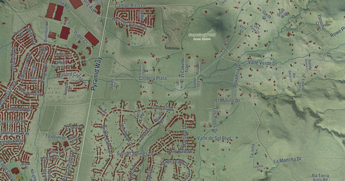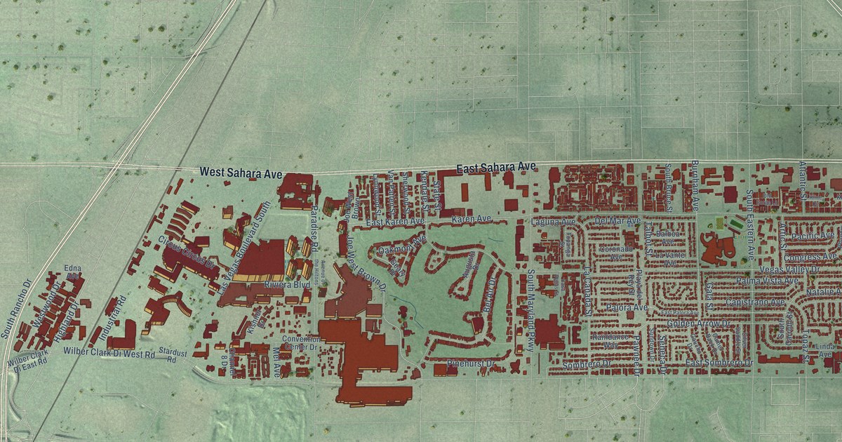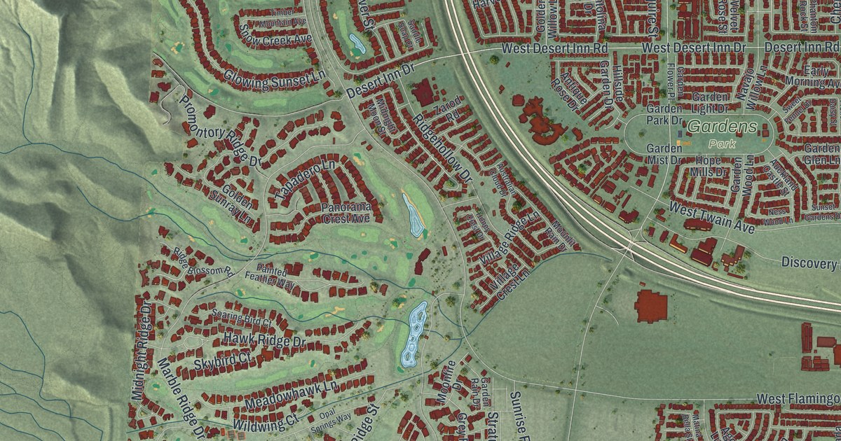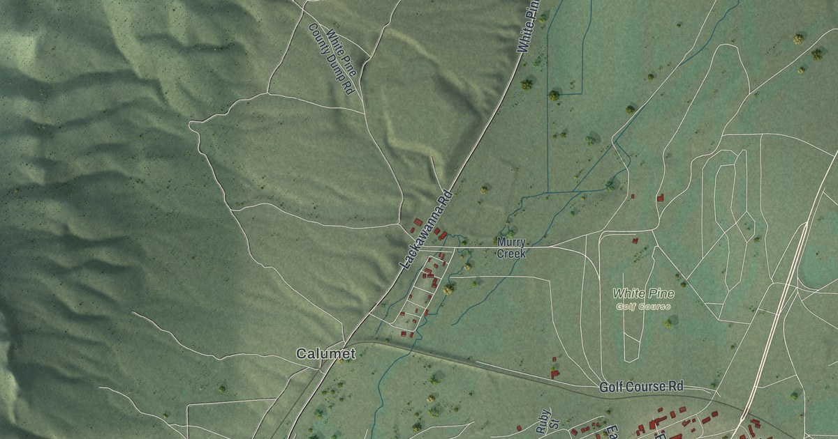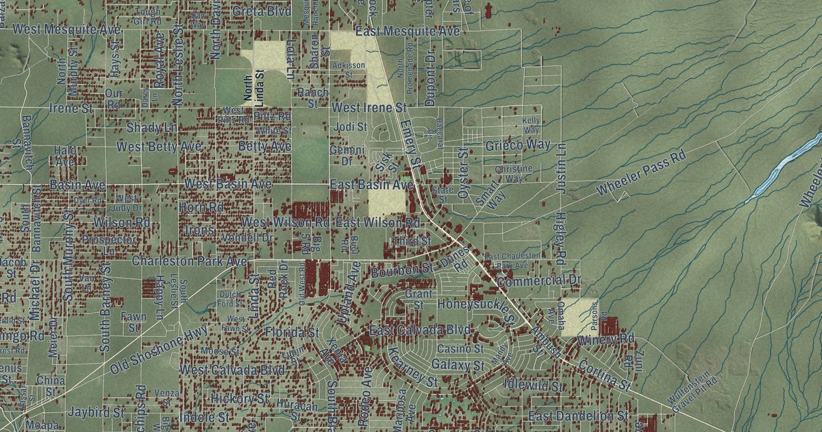
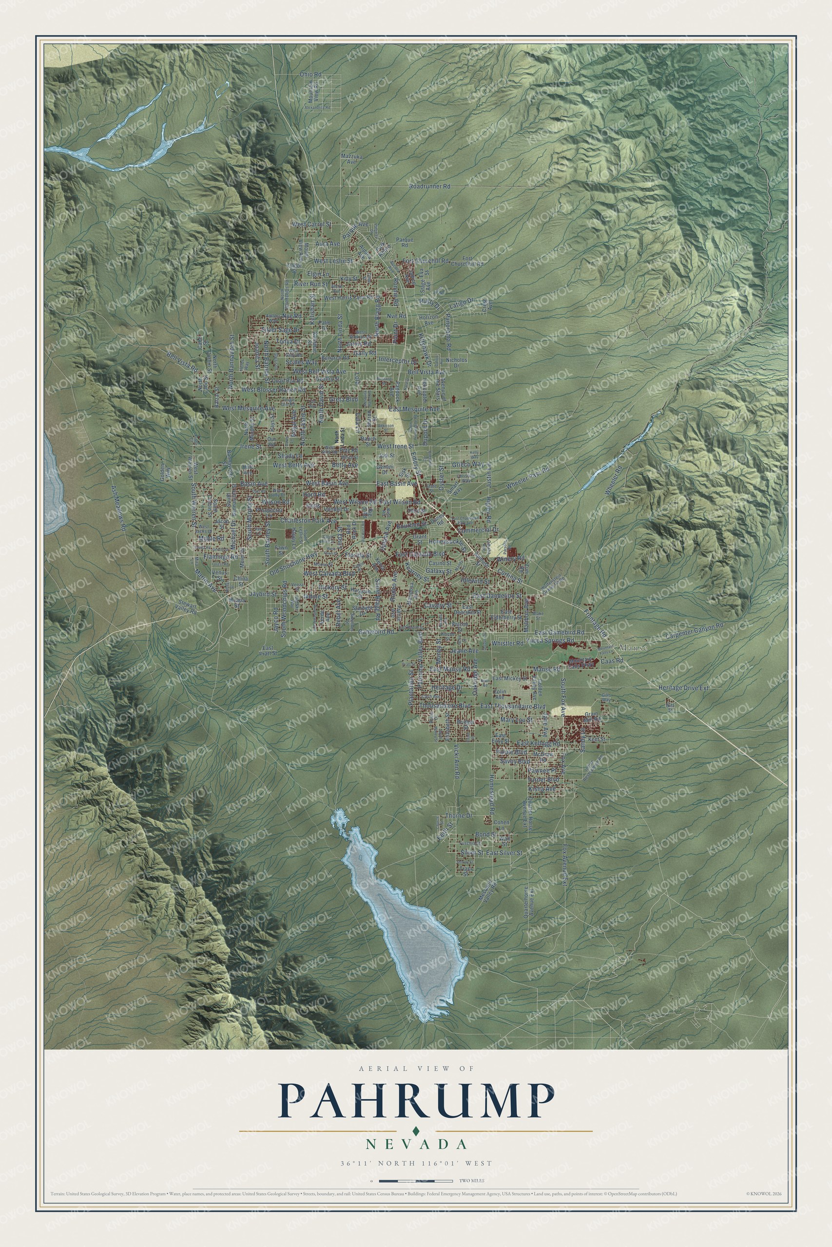
This beautifully detailed map of Pahrump, Nevada was created in 2026 using aerial imagery combined with modern topographical, census, street and landmark data. It's a modern aerial view of Pahrump in Nye County, Nevada, that combines modern data with a vintage aesthetic. The roads feature printed names, and if you look closely you can find your exact house accurately shown in its correct location.
Explore an aerial view of Pahrump, Nevada
On this map you'll find Manse, West Basin Avenue, North Blagg Road, Basin Avenue, Martin Avenue, South Warren Street, Maple Road, Irene Street, West Irene Street, Manse Road, East Manse Road, Heritage Drive, and more. Each red shape is a building, so zoom in on the preview and look for yours.
Pahrump is a community in Nye County. The Census Bureau counted 44,738 people here in 2020. The map prints the town name in its title panel, with the coordinates below it.
Take a closer look at the Pahrump map
Names on this map
These names are printed on this map.
Places: Manse.
Streets and roads: West Basin Avenue, North Blagg Road, Basin Avenue, Martin Avenue, South Warren Street, Maple Road, Irene Street, West Irene Street, Manse Road, East Manse Road, Heritage Drive, Honeysuckle Street.
More street names, A to Z
Adkisson Street, Alexandrite Road, Alpaca Avenue, Ambler Way, Ambush Street, Annie Avenue, Arnold Court, Ash Meadows Road, Aura Avenue, Aurora Avenue, Avenue of the Stars, Baccarat Circle, Balzar Street, Bannavitch Street, Bell Vista Avenue, Bell Vista Road, Betty Avenue, Big 5 Road, Big Sky Way, Blake Street, Bond Street, Bourbon Street, Brian Road, Bridger Street, Bunarch Road, Buol Road, Caas Road, Cabo Street, Cabot Street, Cajon Lane, Calico Avenue, Carpenter Canyon Road, Cash Avenue, Casino Street, Cavalry Street, Charleston Park Avenue, China Street, Christine Way, Church Street, Cline Street, Cohen Lane, Commercial Drive, Cortina Street, Crest Avenue, Dan Way, Darcy Lane, Dunes Road, Dupont Drive, Dutch Ford Street, Dyer Road, East Basin Avenue, East Calvada Boulevard, East Charleston Park Avenue, East Dandelion Street, East Deerskin Street, East Easy Street, East Elderberry Street, East Falcon Street, East Gamebird Road, East Kellogg Road, East Mesquite Avenue, East Mickey Street, East Pratt Street, East Silver Street, East Thousandaire Boulevard, East Wilson Road, Elgin Lane, Elizabeth Street, Emery Street, Emma Road, Eva Street, Falcon Street, Fawn Street, Flamingo Road, Florida Street, Forest Road, Fort Churchhill Road, Fort Churchill Road, Fox Avenue, Fox Avenue Extension, Frontage Road, Fuschia Street, Galaxy Street, Gally Road, Gamebird Road, Garrison, Gemini Drive, Geoffry Street, Gerald Street, Gills Way, Golden Valley Avenue, Golden Way, Grain Mill Road, Grant Street, Gregory Street, Greta Boulevard, Grieco Way, Halo Avenue, Happy Lane, Hays Street, Helicopter Avenue, Herbs Way, Heritage Drive Extension, Hickory Street, Higley Road, Homestead Road, Horizon Avenue, Horn Road, Huracan Street, Idlewild Street, Indian Reservation Road, Indole Street, Interceptor Drive, Irons, Jackie Street, Jacob Street, Jane Avenue, Janice Avenue, Jarvis Road, Jaybird Street, Jayco Road, Jeane Avenue, Joanita Street, Jodi Street, Justin Lane, Kearney Street, Keith Street, Kelishan Street, Kellshan Street, Kelly Way, Kent Street, Kisha Avenue, Kittyhawk Drive, Kitty Street, Latigo Drive, Linda Street, Lola, Lola Lane, Lupin Street, Malibou Avenue, Mandy Avenue, Mariposa Avenue, Mary Lou Street, Mazzuka Avenue, McGraw Road, Meier Drive, Mesquite Ranch Road, Mesquite Valley Road, Michael Drive, Mira Lane, Moapa Street, Money Street, Moose Street, Mountain Falls Lane, Mountain Falls Parkway, Mountain View Road, Mount View Avenue, Mustang Street, Natalia Lane, Nevada Avenue, Nicholos Drive, Nita Street, North Bannavitch Street, North Barney Street, North Cabo Street, North Corbin Street, North David Street, North Leslie Street, North Linda Street, North Murphy Street, North Promenade Road, North Woodchips Road, Nve Road, Nye Road, Oakridge Avenue, Ohio Road, Old Shoshone Highway, Old West Road, Omaha Avenue, Our Road, Oyster Street, Paddock Avenue, Pahrump Valley Boulevard, Paiute Boulevard, Palm Drive, Panorama Road, Park Retiro, Parque Avenue, Parque Road, Parsons Road, Pathway Drive, Paula Drive, Pawnee Place, Piltz Road, Pioche Street, Plantation Street, Point Drive, Prairie Avenue, Pratt Street, Prospector Lane, Puma Road, Quail Run Road, Quarterhorse Avenue Extension, Quarter Horse Avenue Extension, Ranch Street, Rebel Avenue, Red Rock Drive, River Run Street, Roadrunner Road, Rodeo Avenue, Ronnie Road, Royal Avenue, Rusty Drive, Sandy Lane, Savoy Boulevard, Scales Way, Shady Lane, Sharon Street, Shirley Street, Silver Sage Drive, Silver Street, Simmons Street, Sisk Street, Smart Way, South Bannavitch Street, South Barney Street, South Blagg Road, South Corbin Street, South Fox Avenue, South Leslie Street, South Money Street, South Murphy Street, South Woodchips Road, Stage Avenue, Starlight Drive, State Street, Stewart Valley Road, Third Street, Thorne Drive, Thousandaire Boulevard, Tonya Drive, Tough Girl Road, Traci Street, Turner Boulevard, Upland Avenue, Van Lane, Vassar Street, Venus Street, Venza Street, Verde Avenue, Vicki Ann Road, Vondell Drive, Wall Street, West Bell Vista Avenue, West Betty Avenue, West Blosser Ranch Road, West Calvada Boulevard, West Carrol Street, West Fawn Street, West Gally Road, West Harris Farm Road, West Jacks Drive, West Judy Drive, West Leslie Street, West Mesquite Avenue, West Piltz Road, West Simkins Road, West Warren Street, West Wilson Road, Wheeler Pass Road, Wheeler Road, Whistler Road, White Street, Wilson Road, Winchester Avenue, Winery Road, Wulfenstein Gravel Pit Road, Xenia Avenue, Yucca Springs Road, Zolin Avenue, Zuni Road.
See it on a wall
The Pahrump map as a framed print. Swipe for more.


Created by KNOWOL in 2026. The buildings are small red shapes, the roads carry their printed names, and shaded relief shows the shape of the land. The title panel reads "AERIAL VIEW OF PAHRUMP, NEVADA" with 36°11' NORTH 116°01' WEST.
It suits a den, a classroom or a front hall, and it makes a gift for anyone with Pahrump roots. Open the preview and find the block you know. See sizes and frames for the Pahrump map.