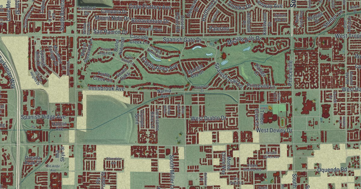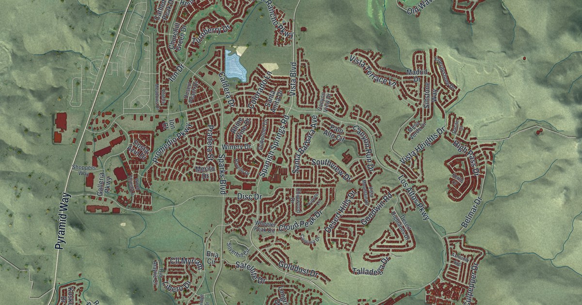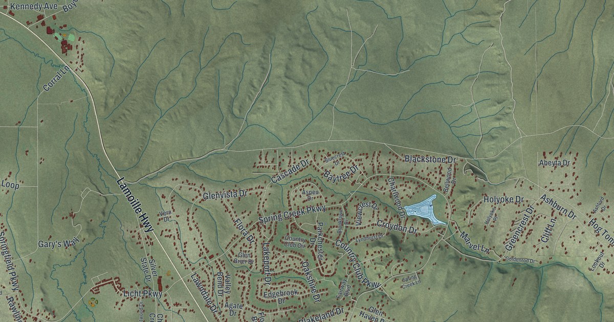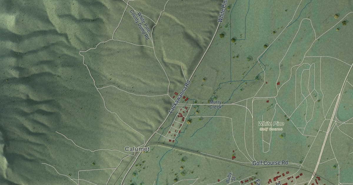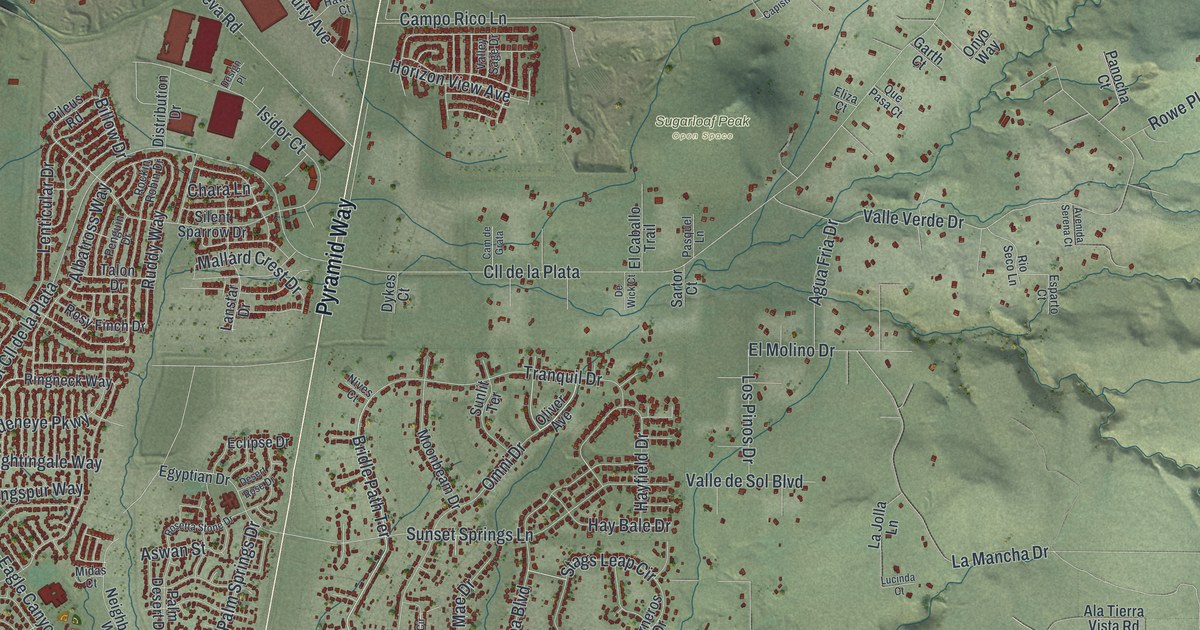
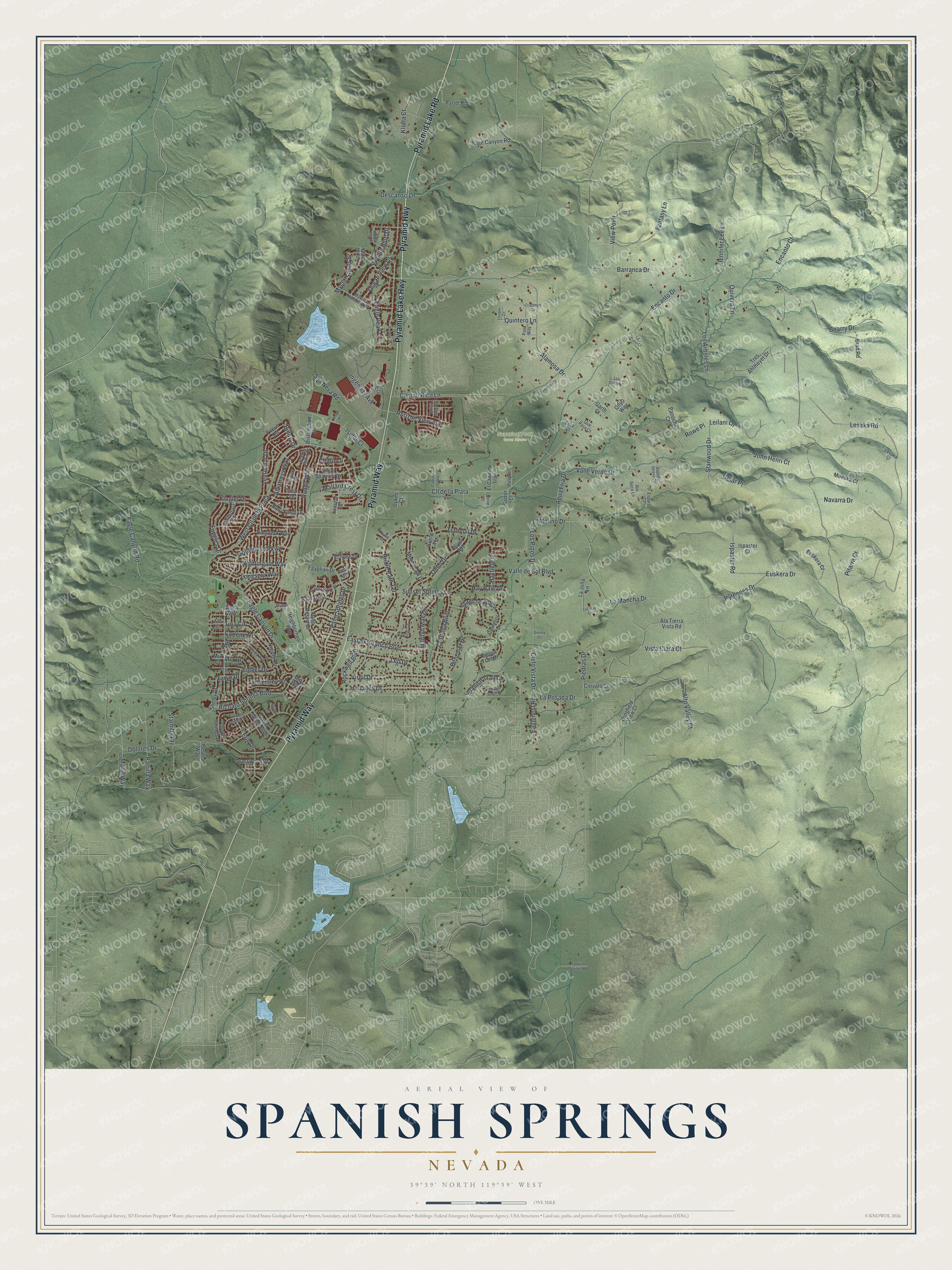
This beautifully detailed map of Spanish Springs, Nevada was created in 2026 using aerial imagery combined with modern topographical, census, street and landmark data. It's a modern aerial view of Spanish Springs in Washoe County, Nevada, that combines modern data with a vintage aesthetic. The roads feature printed names, and if you look closely you can find your exact house accurately shown in its correct location.
Explore an aerial view of Spanish Springs, Nevada
On this map you'll find Sugarloaf Peak Open Space, Pyramid Lake Road, Pyramid Way, Pyramid Highway, Pyramid Lake Highway, Bridle Path Terrace, Eaglenest Road, Cll de la Plata, Campo Rico Lane, La Mancha Drive, Encanto Drive, Lesaka Road, and more. Each red shape is a building, so zoom in on the preview and look for yours.
Spanish Springs is a community in Washoe County. The Census Bureau counted 17,314 people here in 2020. The map prints the town name in its title panel, with the coordinates below it.
Take a closer look at the Spanish Springs map
Names on this map
These names are printed on this map.
Places: Sugarloaf Peak Open Space.
Streets and roads: Pyramid Lake Road, Pyramid Way, Pyramid Highway, Pyramid Lake Highway, Bridle Path Terrace, Eaglenest Road, Cll de la Plata, Campo Rico Lane, La Mancha Drive, Encanto Drive, Lesaka Road, Valle Verde Drive.
More street names, A to Z
Agua Fria Drive, Alamosa Drive, Ala Tierra Vista Road, Albatross Way, Alena Way, Alto Valley Court, Anthem Drive, Aswan Street, Avenida Serena Court, Barranca Drive, Beau Drive, Benedict Drive, Billow Drive, Boarry Drive, Brad Road, Cam de Grata, Capistrano Drive, Carlene Drive, Carneros Drive, Chara Lane, Cielo Vista Drive, Cordoba Boulevard, Corvato Court, David James Boulevard, Descanso Lane, Desert Rose Drive, Design Place, Detar Place, De Wick Court, Distribution Drive, Dolores Drive, Dykes Court, Eagle Canyon Drive, Eagle Canyon Road, Eagle Peak Drive, East Sky Ranch Boulevard, Eclipse Drive, Egyptian Drive, El Caballo Trail, Eliza Court, El Molino Drive, Ember Drive, Encanto Court, Erin Drive, Esparto Court, Euskera Court, Euskera Drive, Fantasy Lane, Friedman Circle, Fuggles Drive, Garth Court, Goldeneye Parkway, Grasswood Drive, Grove Springs Drive, Hallertau Drive, Hawco Court, Hay Bale Drive, Hayfield Drive, Hercules Drive, Hidden Hills Drive, Horizon View Avenue, Indian Springs Drive, Ingenuity Avenue, Isidor Court, Ispaster Court, Ispaster Road, Jedediah Smith Drive, Jennifer Lee Lane, John Henri Court, Kinglet Drive, Klofta Court, La Calma Court, La Jolla Lane, Lanstar Drive, La Posada Drive, Leilani Lane, Lenticular Drive, Leo Drive, Lesaka Court, Longspur Way, Los Arboles Lane, Los Gatos Lane, Los Pinos Drive, Louden Court, Lucinda Court, Mallard Crest Drive, Marie Way, Marilyn Mae Drive, Mia Court, Mia Drive, Midas Court, Milke Way, Moonbeam Drive, Mueska Court, Mystic Mountain Drive, Mystic Sands Street, Navarra Drive, Neighborhood Way, Nicole Drive, Nightingale Way, Nives Court, Ocean View Drive, Ogden Trail Drive, Oliver Avenue, Omni Drive, Onyo Way, Palm Desert Drive, Palm Springs Drive, Panocha Court, Partei Road, Pasa Way, Pasquel Lane, Patrina Way, Pebble Bluff Drive, Penguin Drive, Peralta Way, Piedras Drive, Pileus Road, Pitarra Court, Pyrenees Drive, Que Pasa Court, Quintero Lane, Quivera Lane, Rae Drive, Richard Springs Boulevard, Ringneck Way, Rio Seco Lane, Rockin Robin Drive, Rockwell Boulevard, Rosetta Stone Drive, Rosy Finch Drive, Rowe Place, Ruddy Way, Sage Canyon Road, Sahara Court, Sartor Court, Sha Neva Road, Shelby Drive, Sienna Court, Silent Sparrow Drive, Spanish Springs Road, Spanish Trail Drive, Stags Leap Circle, Stanwood Drive, Starburst Circle, Starhill Way, Sunlit Terrace, Sunset Springs Lane, Talon Drive, Tankersley Drive, Taryn Drive, Tina Circle, Tina Court, Topaz Creek, Tranquil Drive, Tres Ahlmeyer Drive, Valle de Sol Boulevard, Valley Sage Drive, Veronica Avenue, View Point, Virgil Drive, Vista Clara Court, West Cll de la Plata, Wingfield View Court.
See it on a wall
The Spanish Springs map as a framed print. Swipe for more.


Created by KNOWOL in 2026. The buildings are small red shapes, the roads carry their printed names, and shaded relief shows the shape of the land. The title panel reads "AERIAL VIEW OF SPANISH SPRINGS, NEVADA" with 39°39' NORTH 119°39' WEST.
It looks right in a kitchen, an office or a den, and it's a gift for anyone who grew up in Spanish Springs or moved away. Open the preview and find your street. See sizes and frames for the Spanish Springs map.