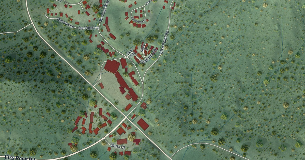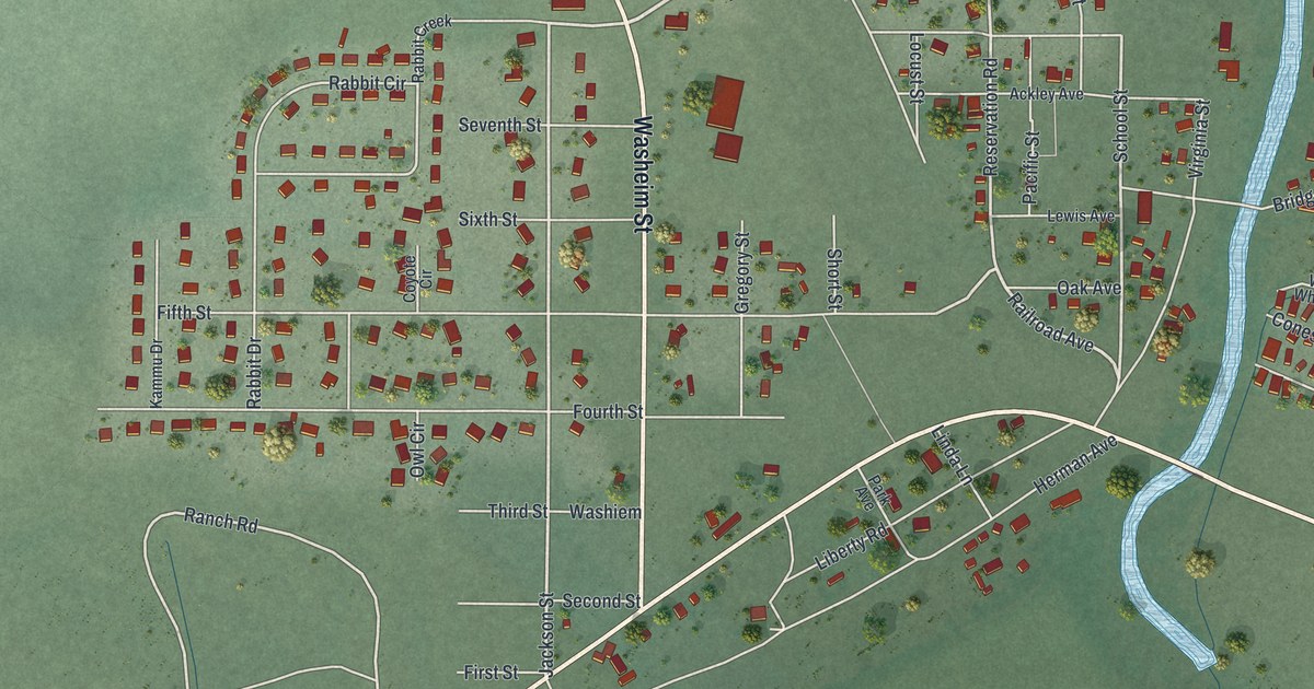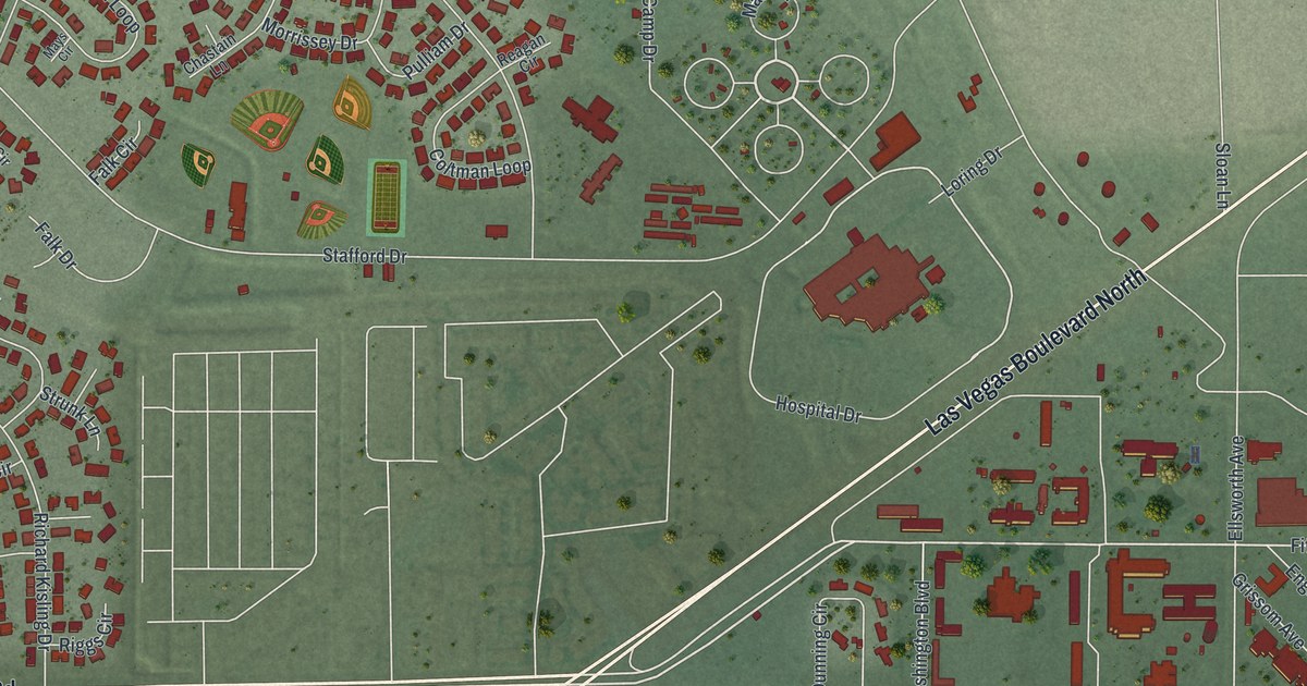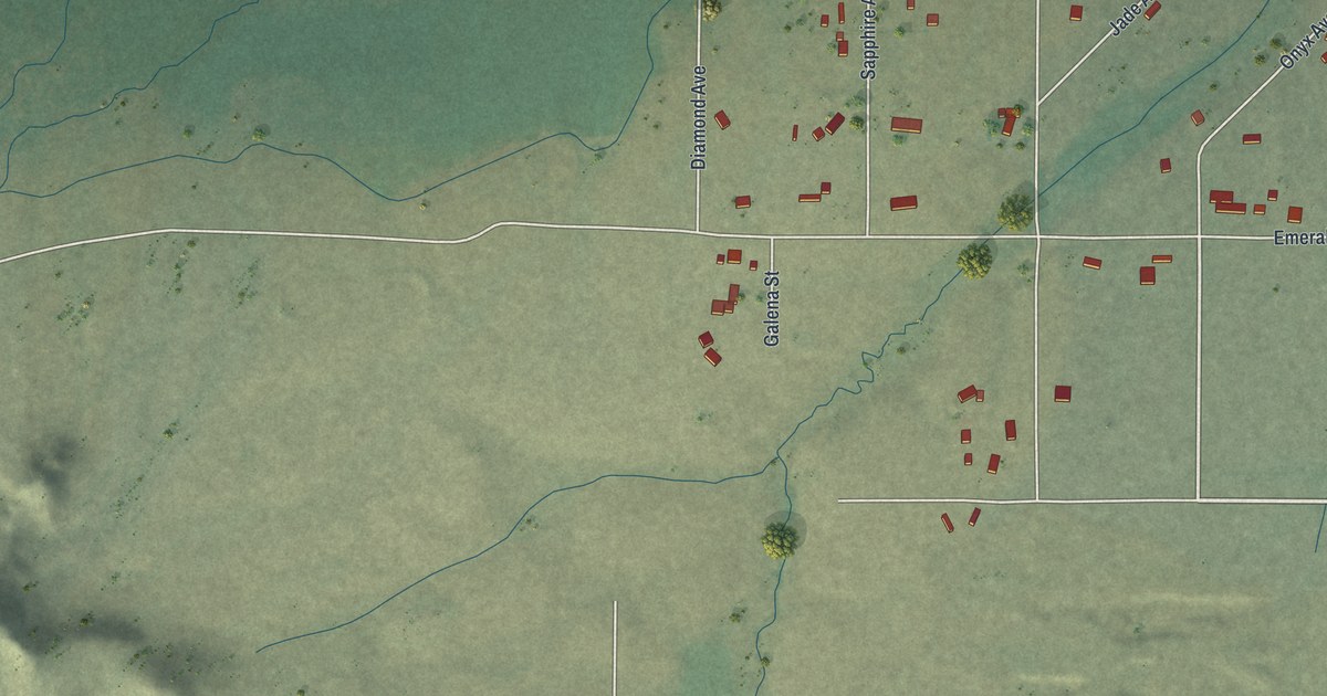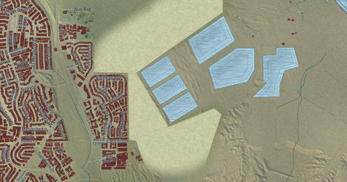
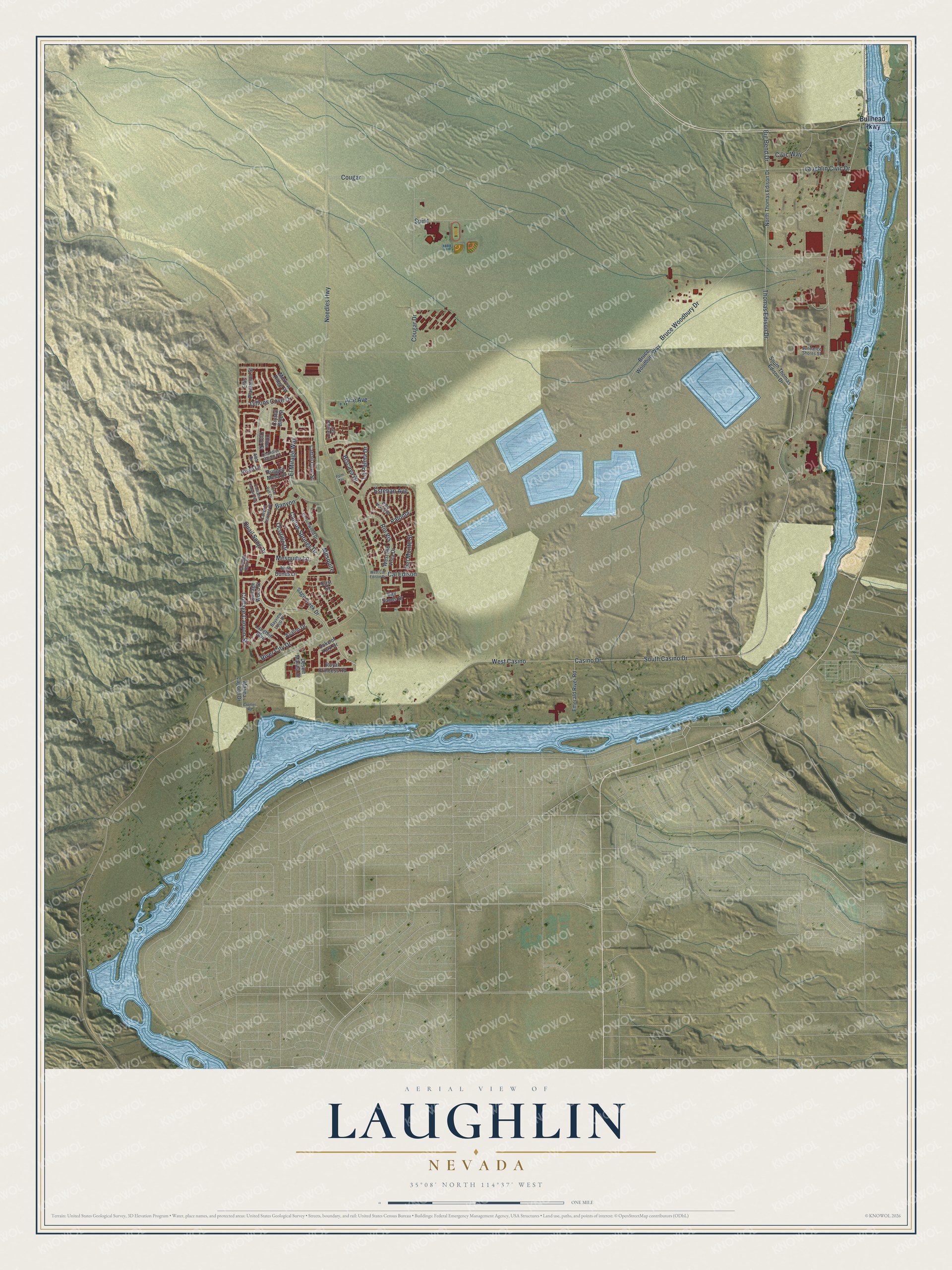
This beautifully detailed map of Laughlin, Nevada was created in 2026 using aerial imagery combined with modern topographical, census, street and landmark data. It's a modern aerial view of Laughlin in Clark County, Nevada, that combines modern data with a vintage aesthetic. The roads feature printed names, and if you look closely you can find your exact house accurately shown in its correct location.
Explore an aerial view of Laughlin, Nevada
On this map you'll find West Casino, Needles Highway, Casino Drive, South Casino Drive, Bruce Woodbury Drive, Big Bend Drive, Thomas Edison Drive, Cougar, Laughlin Civic Drive, El Mirage Way, Civic Way, Spirit, and more. Each red shape is a building, so zoom in on the preview and look for yours.
Laughlin has a story worth telling. Don Laughlin, who grew up on a farm in southern Minnesota, arrived on the Colorado River in about 1966 and bought the small hotel and casino that became the Riverside Resort. When he put in a post office, he offered names like Davis Dam or Casino, Nevada, but the name came back as Laughlin. The settlement there had only 10 to 15 people when he arrived. By 2010 it had grown into an unincorporated town of more than 7,000. That's from the UNLV Special Collections and Archives.
Laughlin is a community in Clark County. The Census Bureau counted 8,658 people here in 2020.
Take a closer look at the Laughlin map
Names on this map
These names are printed on this map.
Streets and roads: West Casino, Needles Highway, Casino Drive, South Casino Drive, Bruce Woodbury Drive, Big Bend Drive, Thomas Edison Drive, Cougar, Laughlin Civic Drive, El Mirage Way, Civic Way, Spirit.
More street names, A to Z
Alba Drive, Arie Avenue, Avalon Drive, Banyon, Bay Sands Drive, Bayview Loop Drive, Biscaya Drive, Bruce Woodbury Way, Bullhead Parkway, Cactus Springs Drive, Cal Edison, Canyon Terrace Drive, Cascade Canyon Way, Cattail Cove Street, Chandler Ranch Place, China Cove Street, Cottage Canyon Street, Cottage Wood Street, Cottonwood Drive, Cougar Drive, Cromer Road, Crystal Blue Street, Del Monte Street, Desert Marina Drive, Dillons Cove Drive, Duke of York Drive, East Street, Ellis Plantation Street, Emerald River Road, Esteban Avenue, High Dunes Lane, La Palma Drive, Las Palmas Lane, Laughlin Boulevard, Marina Lagoon Drive, Mesquite, Mesquite Lane, Morrow Ridge Place, North Thomas Edison Drive, Ocotillo Drive, Palm Terrace, Paloma, Palo Verde Drive, Partridge Run Street, Quail Song Drive, Rio Vis, Risco Lane, River City Drive, River Raft Drive, Royal Princess Road, Rugged Mesa Drive, Sage Creek Drive, South Thomas Edison Drive, Sundance Shores Street, West Cal Edison Drive, West Rio Vista Drive.
See it on a wall
The Laughlin map as a framed print. Swipe for more.


Created by KNOWOL in 2026. The buildings are small red shapes, the roads carry their printed names, and shaded relief shows the shape of the land. The title panel reads "AERIAL VIEW OF LAUGHLIN, NEVADA" with 35°08' NORTH 114°37' WEST.
It looks right in a kitchen, an office or a den, and it's a gift for anyone who grew up in Laughlin or moved away. Open the preview and find your street. See sizes and frames for the Laughlin map.