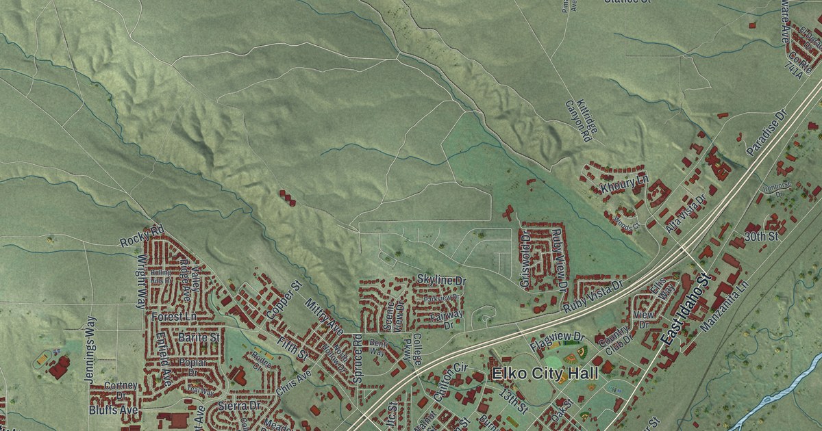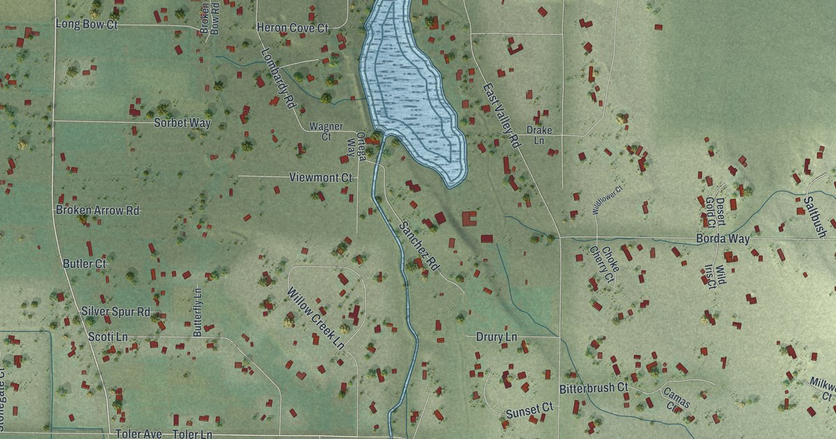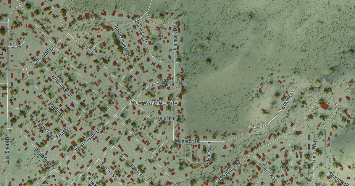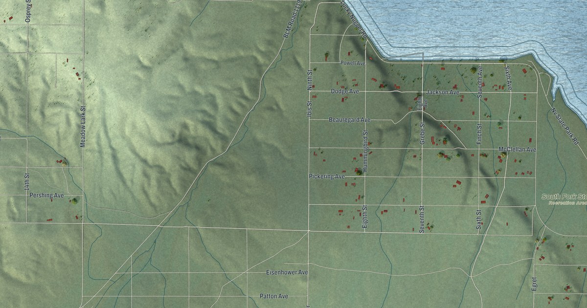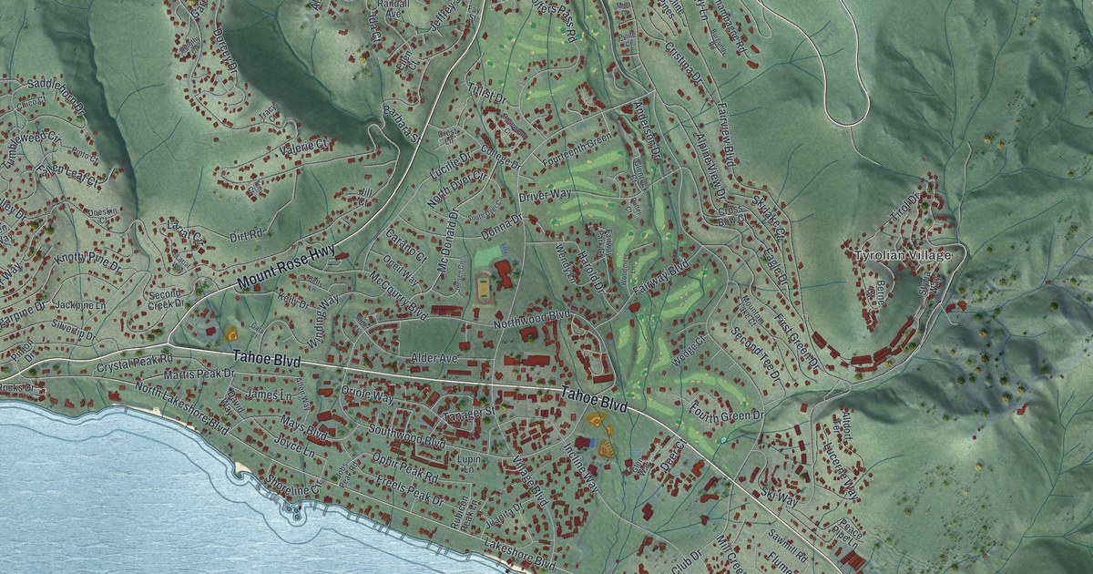
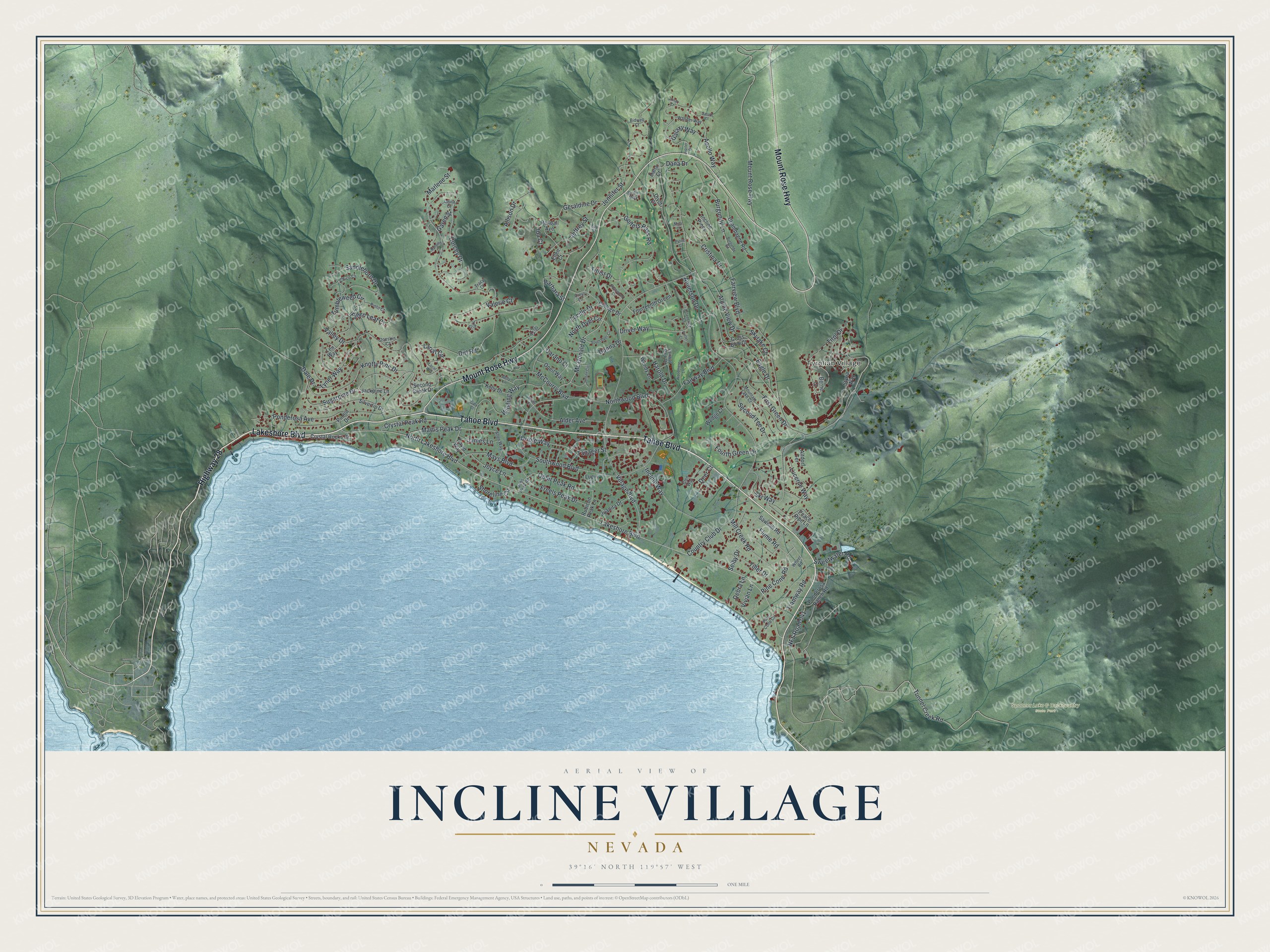
This beautifully detailed map of Incline Village, Nevada was created in 2026 using aerial imagery combined with modern topographical, census, street and landmark data. It's a modern aerial view of Incline Village in Washoe County, Nevada, that combines modern data with a vintage aesthetic. The roads feature printed names, and if you look closely you can find your exact house accurately shown in its correct location.
Explore an aerial view of Incline Village, Nevada
On this map you'll find Tyrolian Village, Spooner Lake & Backcountry State Park, Lakeshore Boulevard, Highway 28, Tahoe Boulevard, Mount Rose Highway, Village Boulevard, Ski Way, Golfers Pass Road, Tirol Drive, Tunnel Creek Road, Eagle Drive, and more. Each red shape is a building, so zoom in on the preview and look for yours.
Every town has a first chapter, and Incline Village is no exception. Incline Village was named in the 1960s for the Incline, a railroad built in 1880 that lifted lumber from the Sierra Nevada Wood and Lumber Company sawmill 1,400 feet up the mountain to a flume. The mill village of Incline had a store, a boardinghouse and a few cabins, and by the end of 1897 it was a ghost town. That's from the Truckee-Donner Historical Society.
Incline Village is a community in Washoe County. The Census Bureau counted 9,462 people here in 2020.
Take a closer look at the Incline Village map
Names on this map
These names are printed on this map.
Places: Tyrolian Village and Spooner Lake & Backcountry State Park.
Streets and roads: Lakeshore Boulevard, Highway 28, Tahoe Boulevard, Mount Rose Highway, Village Boulevard, Ski Way, Golfers Pass Road, Tirol Drive, Tunnel Creek Road, Eagle Drive, Tyner Way, Fairview Boulevard.
More street names, A to Z
Alder Avenue, Alder Court, Allen Way, Allison Drive, Alpine View Drive, Altdorf Terrace, Anderson Drive, Apollo Way, Barbara Street, Berne Court, Betty Lane, Bidwell Court, Birdie Way, Burgundy Lane, Burgundy Road, Carano Court, Champagne Road, Chico Court, College Drive, Country Club Drive, Crest Lane, Cristina Drive, Cross Bow Court, Crystal Peak Road, Crystal Rocks Drive, Dale Drive, Dana Court, Dana Drive, David Way, Debra Lane, Deer Court, Dirt Road, Divot Court, Doeskin Court, Donna Drive, Dorcey Drive, Dorothy Court, Driver Way, Ellen Court, Fairway Boulevard, Fairway Park Drive, Fallen Leaf Court, Fay Street, First Green Drive, Flume Road, Fourteenth Green, Fourth Green Drive, Freels Peak Drive, Galaxy Way, Garen Street, Gary Court, Geraldine Drive, Glenrock Court, Glen Way, Harold Drive, Ida Court, Incline Pines, Incline Way, Jackpine Lane, James Lane, Jeffrey Street, Jennifer Street, Jensen Circle, Jill Court, Jobs Peak Road, Joyce Lane, Juanita Drive, Jupiter Drive, Kelly Drive, Knotty Pine Drive, Lariat Circle, Lariat Way, Laura Court, Len Way, Lucerne Way, Lucille Drive, Lunar Court, Lupin Lane, Marlene Street, Martis Peak Drive, Mays Boulevard, McCourry Boulevard, Mc Donald Drive, Mica Court, Mill Creek Road, Mountain Lake Court, NFS Road 041, North Dyer Circle, North Lakeshore Boulevard, Northwood Boulevard, Oneil Way, Ophir Peak Road, Oriole Way, Peace Pipe Lane, Pine Cone Circle, Pine Cone Road, Pinion Drive, Pinto Court, Ponderosa Avenue, Ponderosa Ranch Road, Putter Court, Pyrite Court, Randall Avenue, Rosewood Circle, Rubicon Peak Lane, Saddlehorn Drive, Saturn Court, Sawmill Road, Second Creek Drive, Second Tee Drive, Selby Drive, Shoreline Circle, Silvertip Drive, Skylake Court, South Dyer Circle, Southwood Boulevard, Styria Way, Sugarpine Drive, Sweetwater Road, Tanager Street, Tiller Drive, Titlist Drive, Toni Court, Tracy Court, Tramway Road, Tumbleweed Circle, Valerie Court, Valley Drive, Vivian Lane, Wander Way, Wedge Court, Wendy Lane, Wheel Road, Winding Way, Woodmere Lane.
See it on a wall
The Incline Village map as a framed print. Swipe for more.


Created by KNOWOL in 2026. The buildings are small red shapes, the roads carry their printed names, and shaded relief shows the shape of the land. The title panel reads "AERIAL VIEW OF INCLINE VILLAGE, NEVADA" with 39°16' NORTH 119°57' WEST.
Hang it in the hallway, the office or the cabin, or give it to someone who left Incline Village and still calls it home. Open the preview and look for a street you know. See sizes and frames for the Incline Village map.