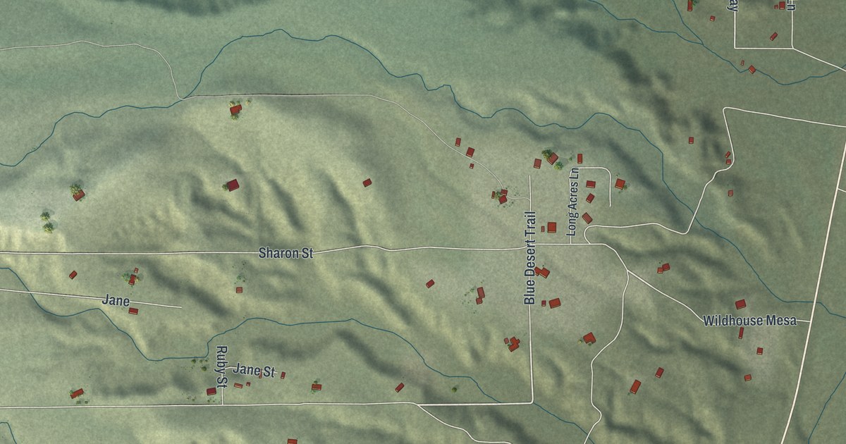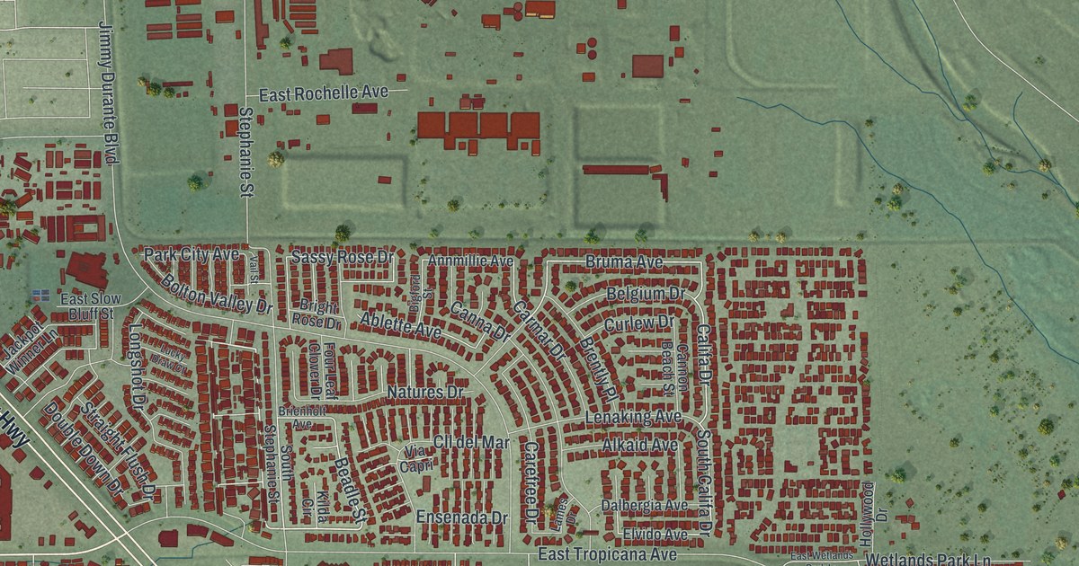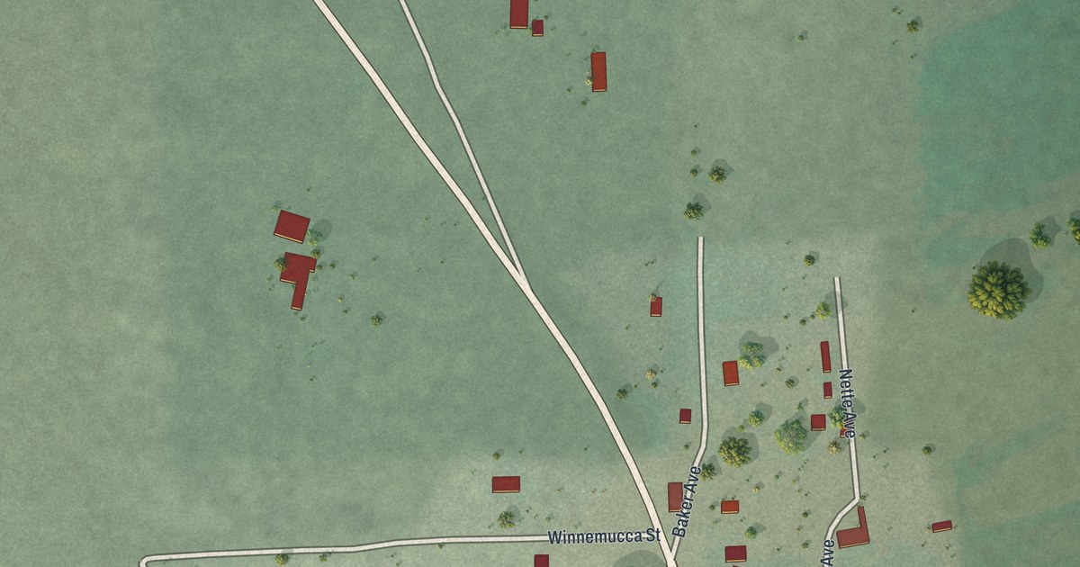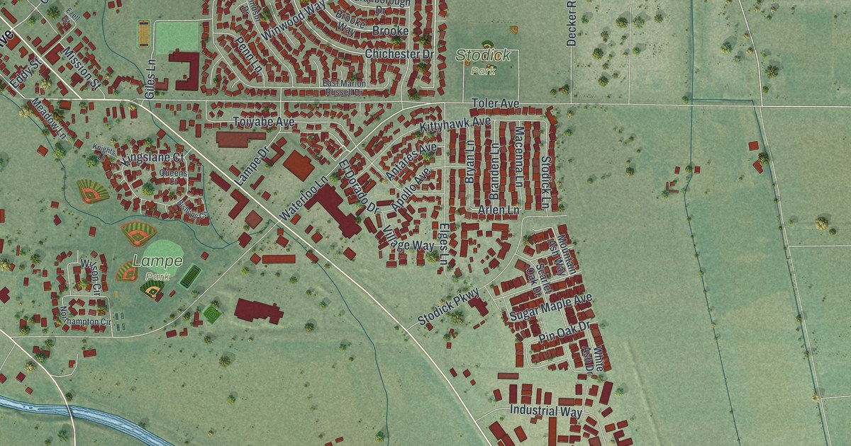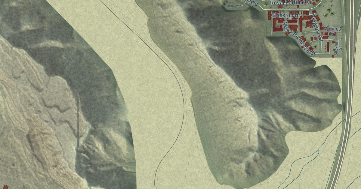
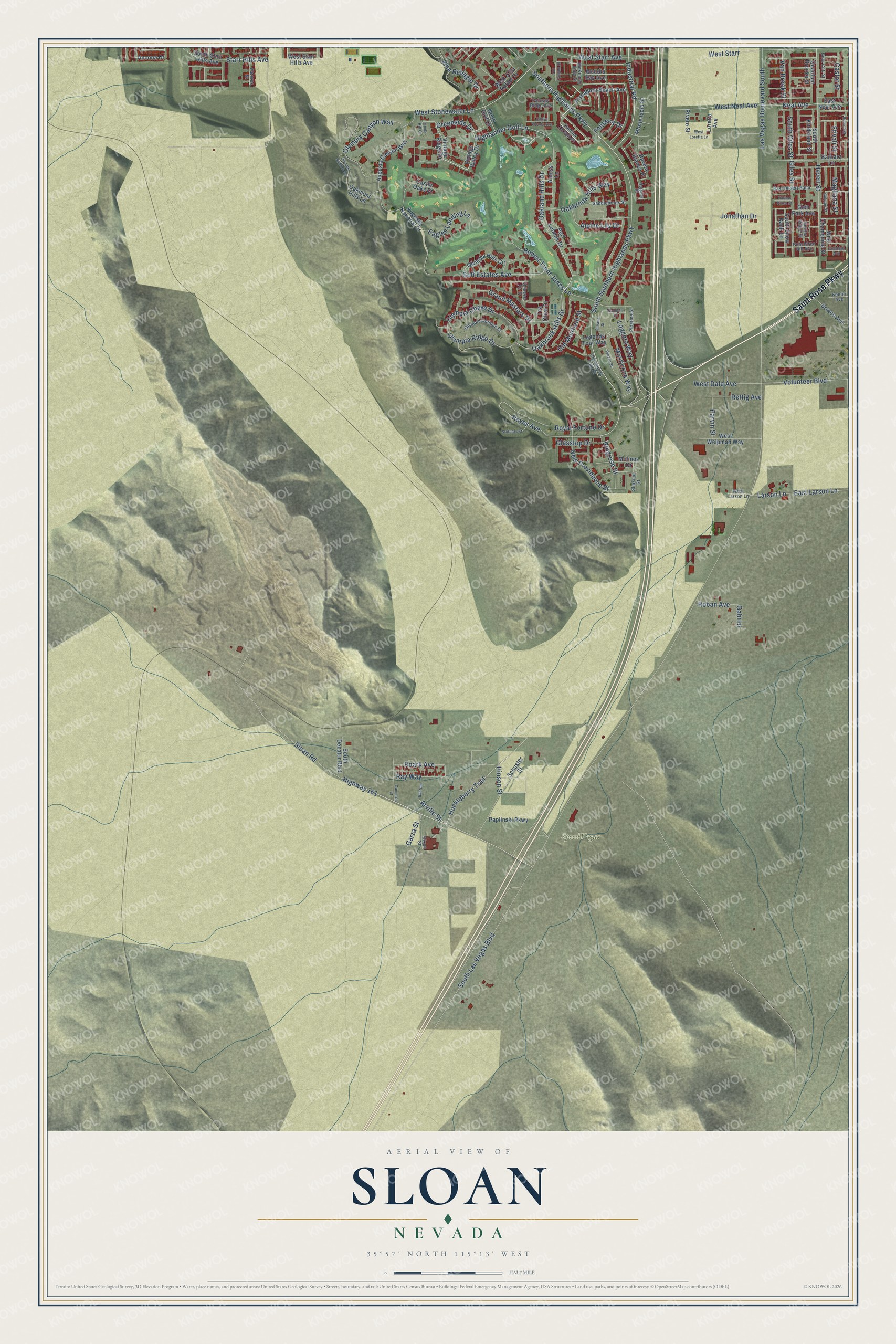
This beautifully detailed map of Sloan, Nevada was created in 2026 using aerial imagery combined with modern topographical, census, street and landmark data. It’s a one-of-a-kind view of Sloan that combines accurate data with a vintage aesthetic. The map shows every building in its true location, many of the roads carry their names, and the shaded topographic relief shows the shape of the land.
Explore an aerial view of Sloan, Nevada
On the map you’ll find SpeedVegas, along with Saint Rose Parkway, Southern Highlands Parkway, Roark Avenue, Huckleberry Trail, Highway 161, Ray Way, Industrial Road, South Southern Highlands Parkway, Arville Street, Highlander Golf Lane, Reyes Avenue, and more. If you look closely you can even find your house accurately drawn in its correct location. Zoom in on the preview to look for yours.
Did You Know?
Sloan, in Clark County, Nevada, was first settled in 1912. Its first name was Ehret, the family name of its founder. On September 11, 1922, the community changed its name to Sloan.
Take a closer look at the Sloan map
Names on this map
These names are printed on this map.
Places: SpeedVegas.
Streets and roads: Saint Rose Parkway, Southern Highlands Parkway, Roark Avenue, Huckleberry Trail, Highway 161, Ray Way, Industrial Road, South Southern Highlands Parkway, Arville Street, Highlander Golf Lane, Reyes Avenue, Neal Avenue.
More street names, A to Z
Alcudia Bay Avenue, Alness Lane, Alpine Lily Drive, Ancona Drive, Augusta Canyon Way, Augusta National Drive, Balldelli Court, Bantum, Barbara Lane, Beta Ceti Street, Bowes Avenue, Cameron Street, Cantina Terlano Place, Castle Oaks Court, Castor Street, Catlyn Woods Avenue, Chalk Hill Court, Champions Tour Drive, Chinese Fir Drive, Dixon Street, Eagles Landing Lane, East Desert Palm, East Larson Lane, East Neal Avenue, Fairfax Ridge Street, Fairway Ridge Avenue, Fonseca Drive, Gabriel, Galvani Street, Garza Street, Geott Golf Drive, Giles Street, Glasstop Drive, Glen Park Avenue, Golf Estates Avenue, Grand Masters Drive, Greenside Drive, Harbor Pines Street, Haven Street, Hinson Street, Hugana Place, Jonathan Drive, Keehn Avenue, Larson Lane, Las Vegas Boulevard South, Legends Tour Way, Loggeta Way, Loretta Avenue, Magliana Street, McKinney Falls Street, Molinos Drive, Monte Isola Street, Mosticone Way, New Providence Street, Oakbrook Hills Drive, Oakbrook Hills Way, Oakland Hills Drive, Oakmont Hills Lane, Old Muirfield Street, Olympia Canyon Way, Olympia Chase Drive, Olympia Hills Circle, Olympia Outlook Drive, Olympia Ridge Drive, Olympia Summit Drive, Paplinski Parkway, Parvin Street, Patores Street, Peachtree Hill Avenue, Piazzo Street, Pinetina Street, Piscadera Beach Avenue, Port Labelle Drive, Quantum Brooks Street, Raveno Bianco Place, Rettig Avenue, Ringrose Street, Rivero Street, Roban Avenue, Robert Trent Jones Lane, Royal Fortune Drive, Rubino Street, Saddlebrook Street, Schuster Street, Silvana Street, Slipknot Street, Sloan Road, Solidago Avenue, South Decatur Boulevard, South Giles Street, South Kindsland Street, South Las Vegas Boulevard, South Snow Bank Lane, South Starr Hills Avenue, Starr Hills Avenue, Statuary Street, Stivali Street, Tea Olive Drive, Tull Canyon Street, Van Brook Street, Villa Bellagio Drive, Vintage Ridge Drive, Vintage Valley Drive, Volunteer Boulevard, West Dale Avenue, West Larson Lane, West Loretta Lane, West Neal Avenue, West Starr, West Starr Avenue, West Starr Hills Avenue, West Stonewater Lane, West Villa Rafael Drive, West Welpman Way, Wild Chamomile Street.
See it on a wall
The Sloan map as a framed print. Swipe for more.


This beautifully detailed map of Sloan makes an attractive addition to your office, library, or den, and it can even be used to teach children the geography and history of the area. It also makes a great gift for anyone who grew up in Sloan or moved away. When you’re done exploring, click here to get your copy of the Sloan map.