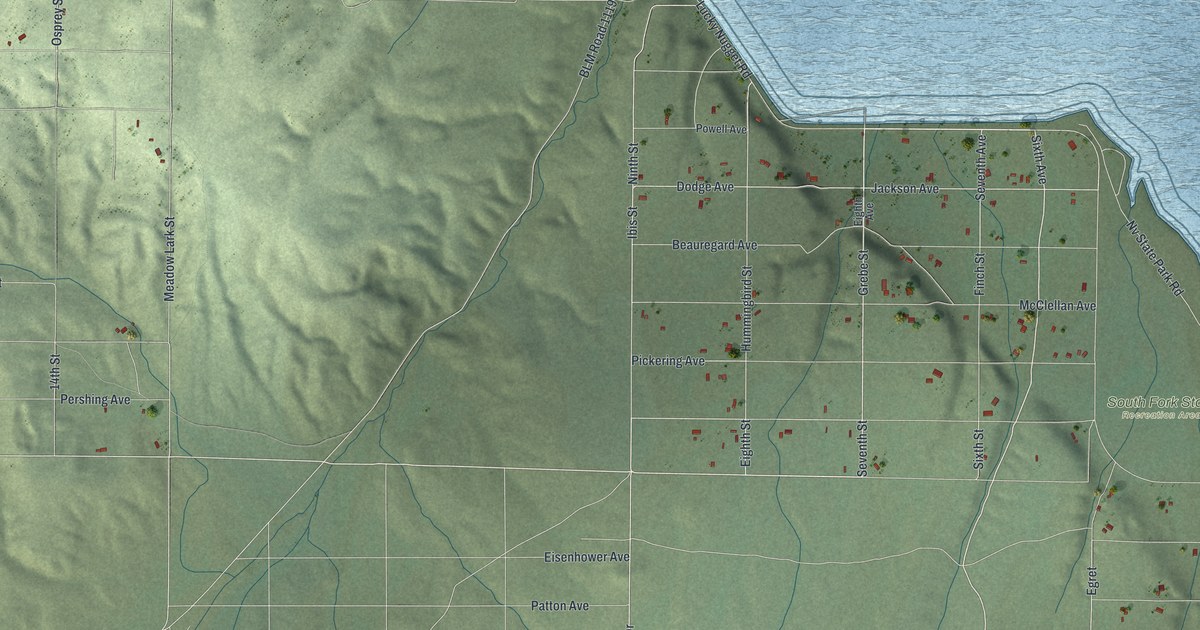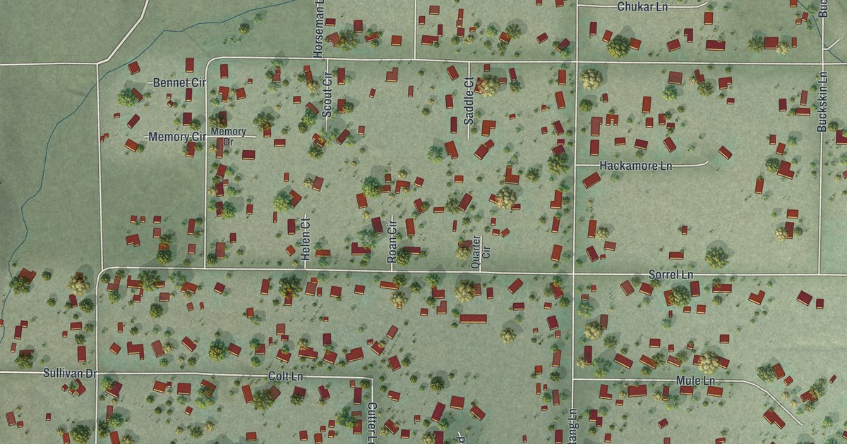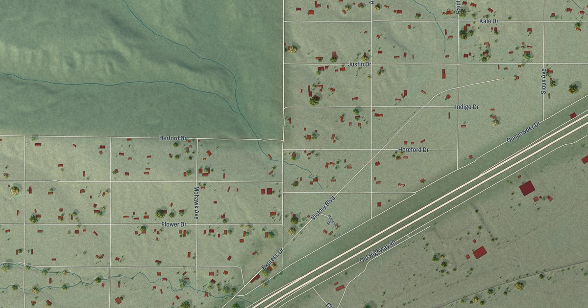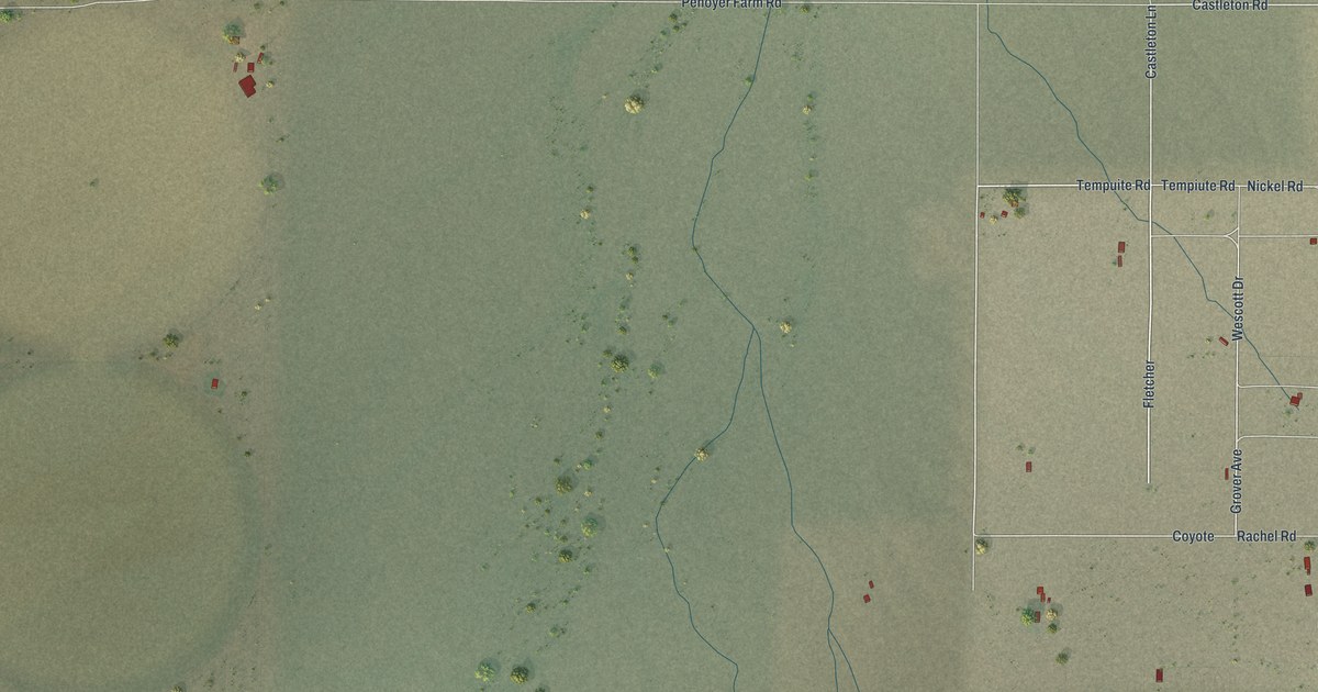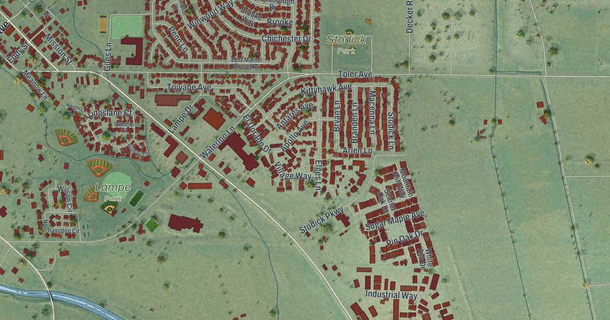
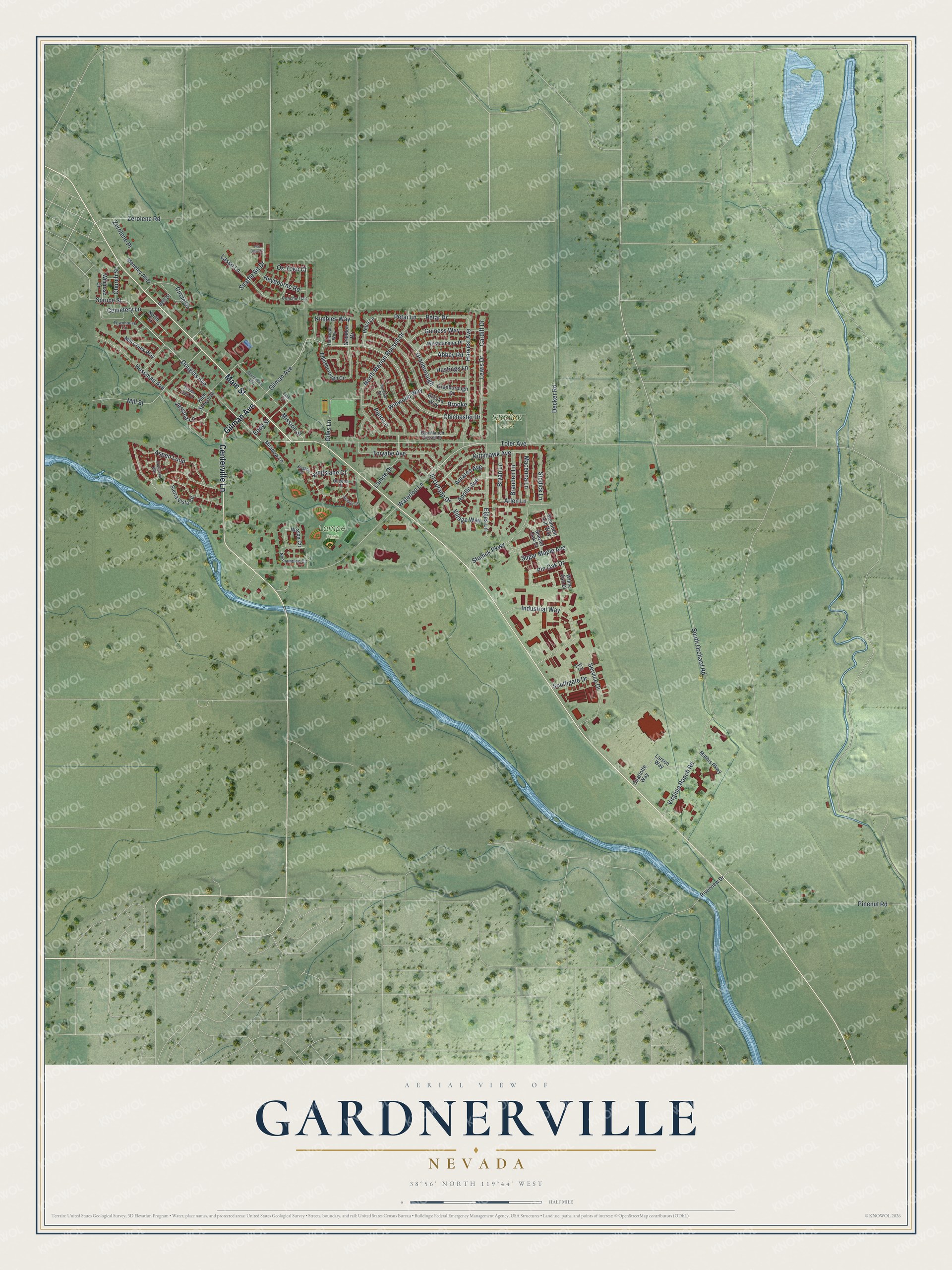
This beautifully detailed map of Gardnerville, Nevada was created in 2026 using aerial imagery combined with modern topographical, census, street and landmark data. It's a modern aerial view of Gardnerville in Douglas County, Nevada, that combines modern data with a vintage aesthetic. The roads feature printed names, and if you look closely you can find your exact house accurately shown in its correct location.
Explore an aerial view of Gardnerville, Nevada
On this map you'll find Lampe Park, Stodick Park, Gilman Avenue, Main Street, Centerville Lane, Waterloo Lane, Douglas Avenue, Lewis Drive, Chichester Drive, Cemetery Lane, Spruce Street, Arlen Lane, and more. Each red shape is a building, so zoom in on the preview and look for yours.
Gardnerville has a story worth telling. Gardnerville grew up on the homestead of John Gardner. In 1879 Lawrence Gilman moved an old hotel called the Kent House there from the emigrant trail between Genoa and Walley's Hot Springs, and it became the Gardnerville Hotel. After 1879 Gardnerville became the center for Carson Valley's Danish immigrants, who founded the Valhalla Society in 1885. After 1918 several Basques opened inns in town that flourished in the 1920s. That's from the Nevada State Historic Preservation Office.
Gardnerville is a community in Douglas County. The Census Bureau counted 6,211 people here in 2020.
Take a closer look at the Gardnerville map
Names on this map
These names are printed on this map.
Places: Lampe Park and Stodick Park.
Streets and roads: Gilman Avenue, Main Street, Centerville Lane, Waterloo Lane, Douglas Avenue, Lewis Drive, Chichester Drive, Cemetery Lane, Spruce Street, Arlen Lane, Brooke, Toler Avenue.
More street names, A to Z
Abbey Road, Antares Avenue, Apollo Avenue, Aspen Loop, Bell Street, Bishops Circle, Branden Lane, Brooke Way, Bryan Lane, Buckeye Road, Cardiff Drive, Charlotte Way, Church Street, Circle Drive, Concho Trail, Courthouse Alley, Decker Road, East Marion Russell Drive, Eddy Street, Edlesborough Circle, El Dorado Drive, Elges Lane, Evergreen Way, Ezell Street, Garden Glen Court, Giles Lane, Granborough, Granborough Drive, Grendon Drive, Guiness Way, Hanslope Way, Harvest Avenue, Hastings Lane, Hat Band Court, Heybourne Road, High School Street, Hussman Avenue, Industrial Way, Jessica Lane, Kimbles Way, Kingslane Court, Kittyhawk Avenue, Knights Lane, Lampe Drive, Larson Way, Lasso Lane, Macenna Lane, Mathis Parkway, Meadow Lane, Meneley Alley, Mill Creek Way, Mill Street, Mission Street, Mountain Ash Way, Northampton Circle, North Court, North Marion Russell Drive, Ox Yoke Court, Penn Lane, Pep Circle, Petar Drive, Petar Lane, Petra Lane, Pinenut Road, Pin Oak Drive, Queens Court, Riverview Drive, Scarlet Oak Drive, Service Drive, Sierra Vista Circle, Snaffle Bit Drive, Southgate Drive, South Orchard Road, Stodick Lane, Stodick Parkway, Sugar Maple Avenue, Toiyabe Avenue, Townhouse Circle, Village Way, Virginia Ranch Road, Westminster Place, White Ash Drive, Wildrose Drive, Wilson Circle, Windsor Drive, Winwood Way, Zerolene Place, Zerolene Road.
See it on a wall
The Gardnerville map as a framed print. Swipe for more.


Created by KNOWOL in 2026. The buildings are small red shapes, the roads carry their printed names, and shaded relief shows the shape of the land. The title panel reads "AERIAL VIEW OF GARDNERVILLE, NEVADA" with 38°56' NORTH 119°44' WEST.
It looks right in a kitchen, an office or a den, and it's a gift for anyone who grew up in Gardnerville or moved away. Open the preview and find your street. See sizes and frames for the Gardnerville map.