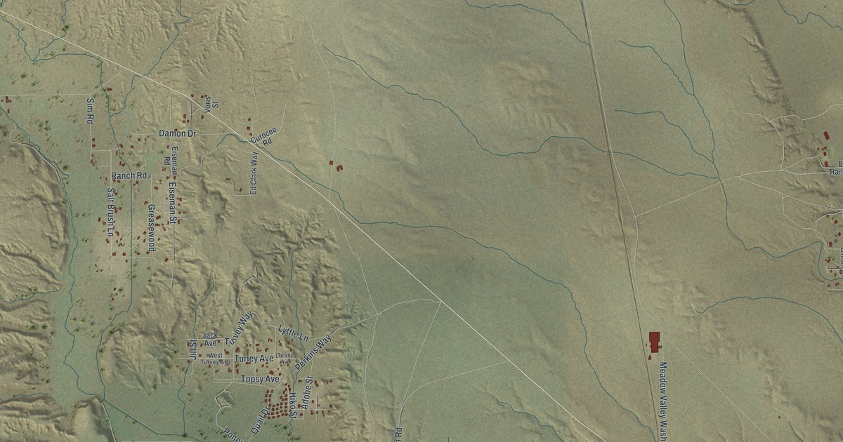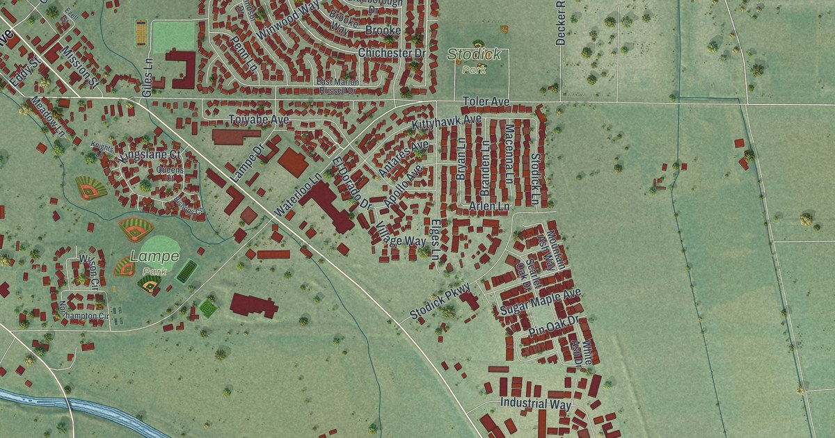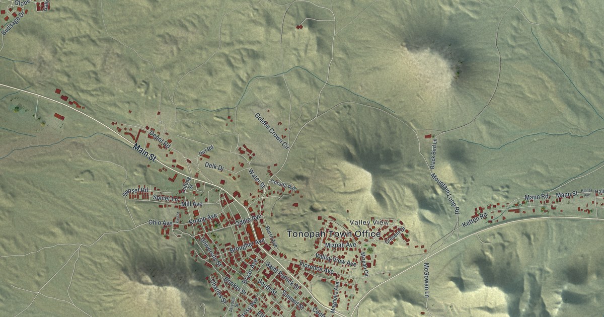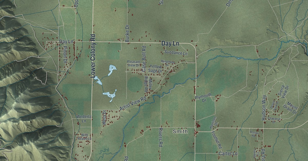
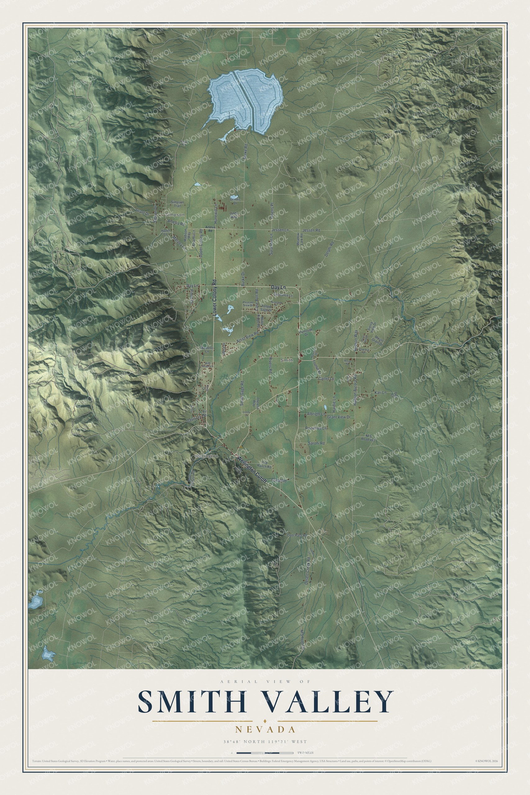
This beautifully detailed map of Smith Valley, Nevada was created in 2026 using aerial imagery combined with modern topographical, census, street and landmark data. It's a modern aerial view of Smith Valley in Lyon County, Nevada, that combines modern data with a vintage aesthetic. The roads feature printed names, and if you look closely you can find your exact house accurately shown in its correct location.
Explore an aerial view of Smith Valley, Nevada
On this map you'll find Simpson, Wellington, Smith, Lower Colony Road, Day Lane, Wellington Cutoff, Marney Lane, Jessen Road, Owens Place, Hunewill Lane, Jessen Lane, Upper Colony Road, and more. Each red shape is a building, so zoom in on the preview and look for yours.
Smith Valley has a story worth telling. Smith Valley takes its name from its first settlers, T. B. Smith, R. B. Smith and C. Smith. T. B. Smith, born in Massachusetts in 1834, came to California in 1853 and to Nevada in 1859. By his account, wheat in the valley yielded 30 to 60 bushels, and apples, prunes, pears and currants did well. That's from the Bancroft History of Nevada.
Smith Valley is a community in Lyon County. The Census Bureau counted 1,710 people here in 2020.
Take a closer look at the Smith Valley map
Names on this map
These names are printed on this map.
Places: Simpson, Wellington and Smith.
Streets and roads: Lower Colony Road, Day Lane, Wellington Cutoff, Marney Lane, Jessen Road, Owens Place, Hunewill Lane, Jessen Lane, Upper Colony Road, Delphi Road, Burke Drive, Hudson Way.
More street names, A to Z
Acciari Road, Albright Lane, Amanda Lane, Artesia Road, Artist View Road, Burke Road, Canal Road, Carter Lane, Case Bolt Road, Chaparral Drive, Circle Drive, Crosby Lane, Davis Lane, Dee Court, Deer Pass Road, Dennis Drive, Desert Creek Road, Desert View Drive, Foothill Road, Garms Circle, Grant Drive, Grant View Drive, Hardie Lane, Harrison Drive, Hazel Lane, Hoye Canyon Road, Hudson Aurora Road, Jesch Lane, Kari Lane, Linda Way, Lobdel Lane, Madison Way, Meadow Lark Road, Mesa Drive, Miller Ridge Road, Mount Grant Drive, NFS Road 027, NFS Road 463, Old Ranch Road, Pinon Drive, Pintail Road, Pit Road, Pleasant View Drive, Plymouth Drive, Rangeland Drive, Rivers Road, Rowntree Lane, Saroni Road, Sharon Drive, Sierra View Drive, Simpson Trail, Smith Gage Road, Sundance Lane, Surandon Lane, Theresa Way, Valley View Drive, Wedertz Lane, Wild Peach Lane, Yellow Sage Drive.
See it on a wall
The Smith Valley map as a framed print. Swipe for more.


Created by KNOWOL in 2026. The buildings are small red shapes, the roads carry their printed names, and shaded relief shows the shape of the land. The title panel reads "AERIAL VIEW OF SMITH VALLEY, NEVADA" with 38°48' NORTH 119°21' WEST.
It looks right in a kitchen, an office or a den, and it's a gift for anyone who grew up in Smith Valley or moved away. Open the preview and find your street. See sizes and frames for the Smith Valley map.