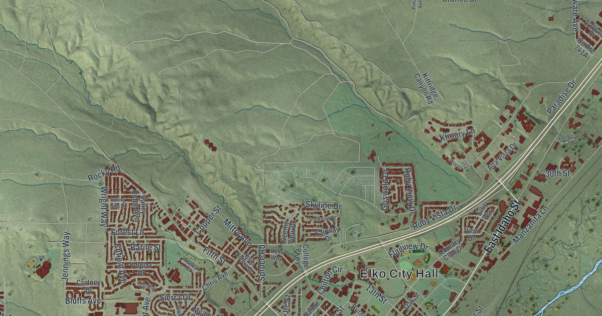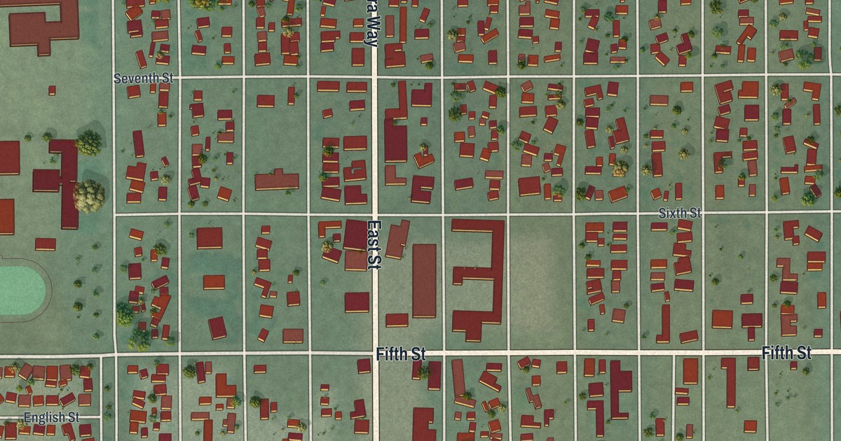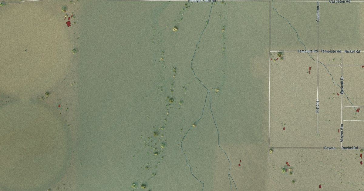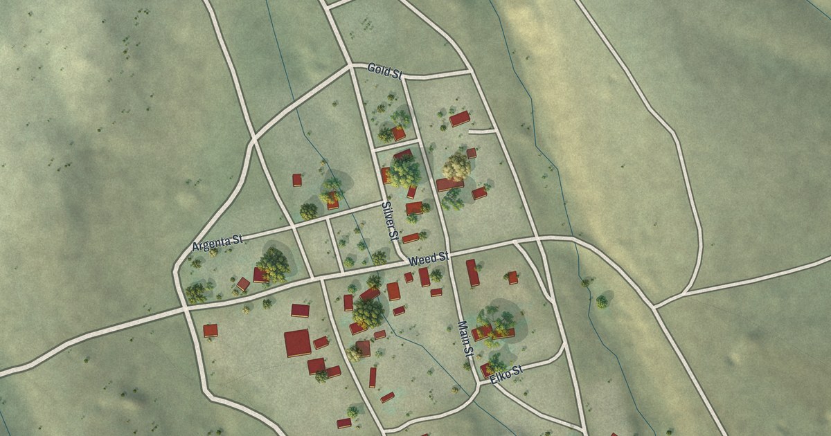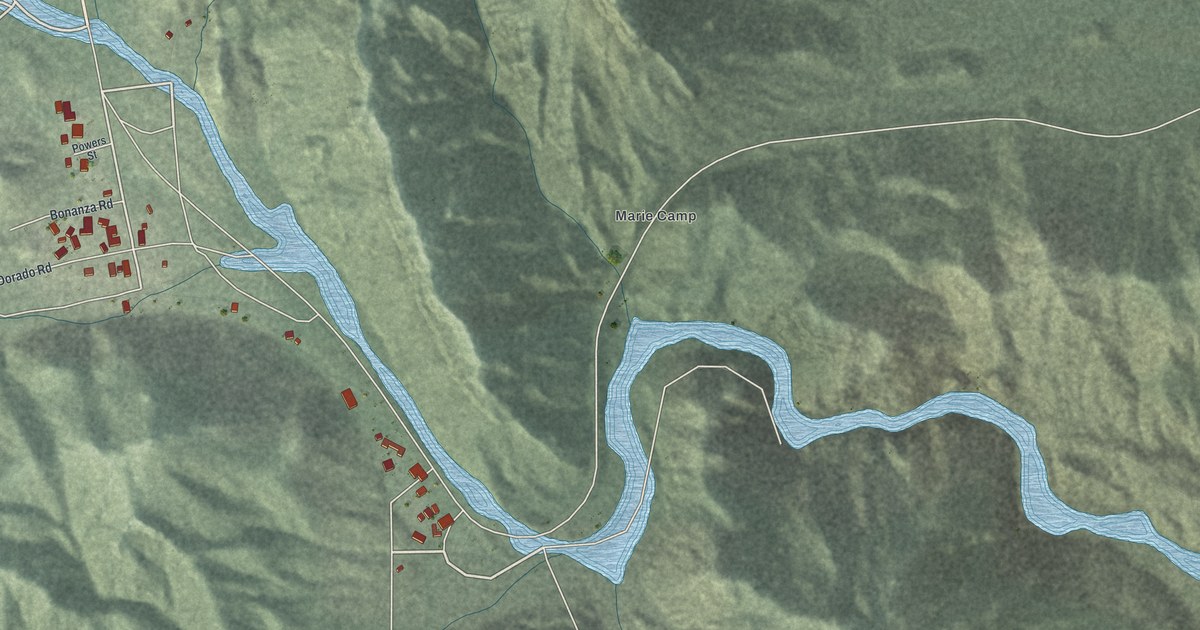
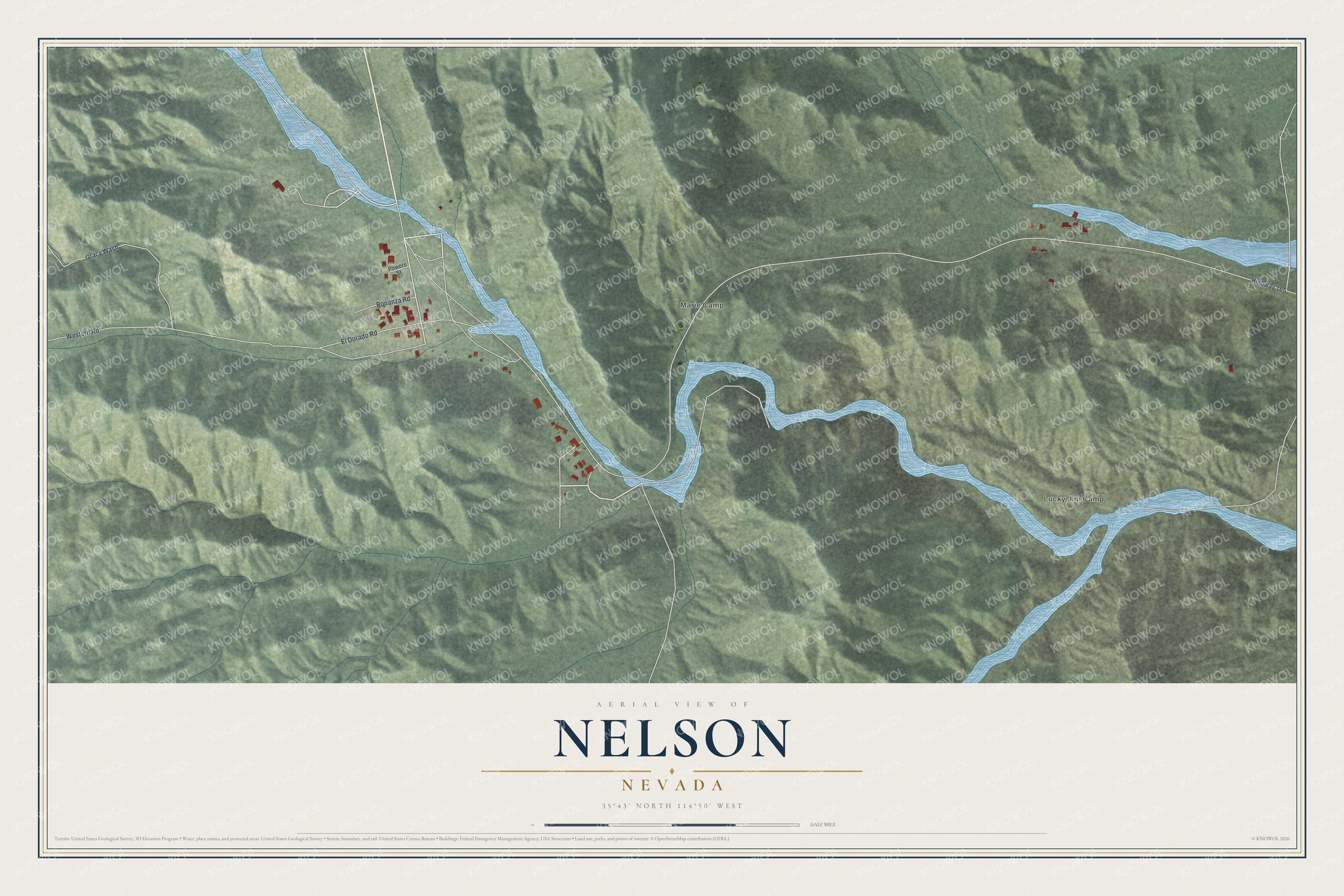
This beautifully detailed map of Nelson, Nevada was created in 2026 using aerial imagery combined with modern topographical, census, street and landmark data. It's a modern aerial view of Nelson in Clark County, Nevada, that combines modern data with a vintage aesthetic. The roads feature printed names, and if you look closely you can find your exact house accurately shown in its correct location.
Explore an aerial view of Nelson, Nevada
On this map you'll find Lucky Jim Camp, Marie Camp, Western Road, Highway 165, El Dorado Road, Gracy Wash, Bonanza Road, Powers Street, and more. Each red shape is a building, so zoom in on the preview and look for yours.
Every town has a first chapter, and Nelson is no exception. Nelson lies in Eldorado Canyon, about 7 miles from the Colorado River, where mining went back to the 1850s. The Techatticup, one of the canyon's principal mines, was worked off and on from 1863, and in the early days the canyon's rich ore went down the river by boat to Needles, Yuma or the Gulf of California. Geologists who came through in 1906 described the picturesque, cavernous cliffs of purplish-red basalt just north of Nelson. That's from the U.S. Geological Survey.
Nelson is a community in Clark County. The Census Bureau counted 22 people here in 2020.
Take a closer look at the Nelson map
Names on this map
These names are printed on this map.
Places: Lucky Jim Camp and Marie Camp.
Streets and roads: Western Road, Highway 165, El Dorado Road, Gracy Wash, Bonanza Road and Powers Street.
See it on a wall
The Nelson map as a framed print. Swipe for more.


Created by KNOWOL in 2026. The buildings are small red shapes, the roads carry their printed names, and shaded relief shows the shape of the land. The title panel reads "AERIAL VIEW OF NELSON, NEVADA" with 35°43' NORTH 114°50' WEST.
Hang it in the hallway, the office or the cabin, or give it to someone who left Nelson and still calls it home. Open the preview and look for a street you know. See sizes and frames for the Nelson map.