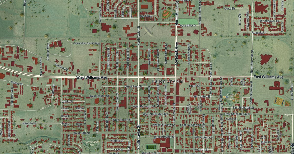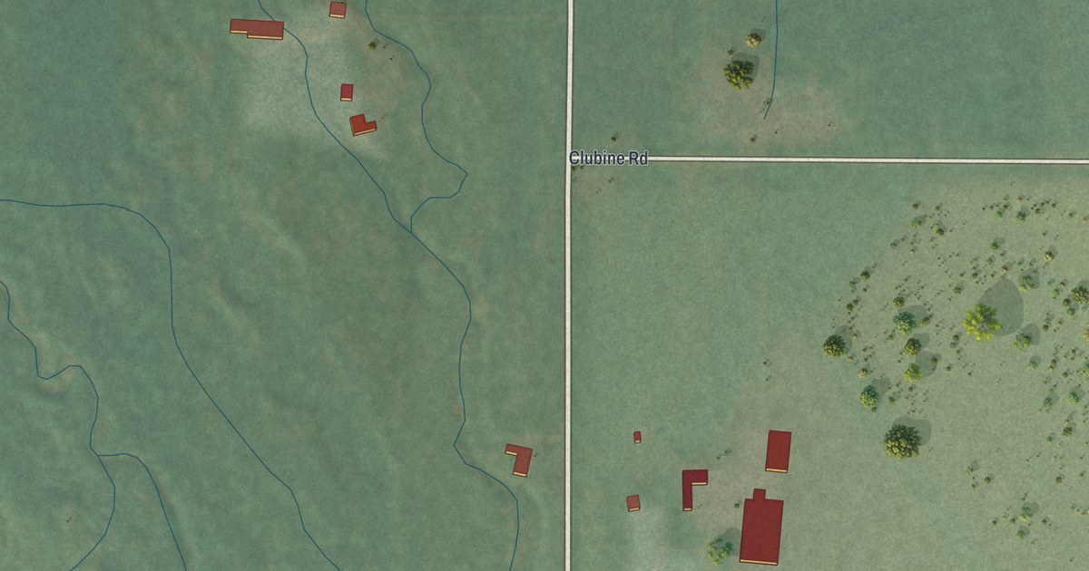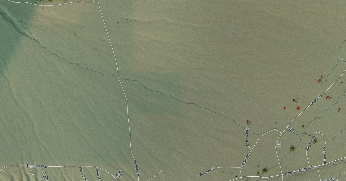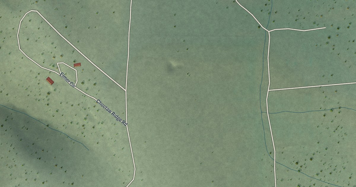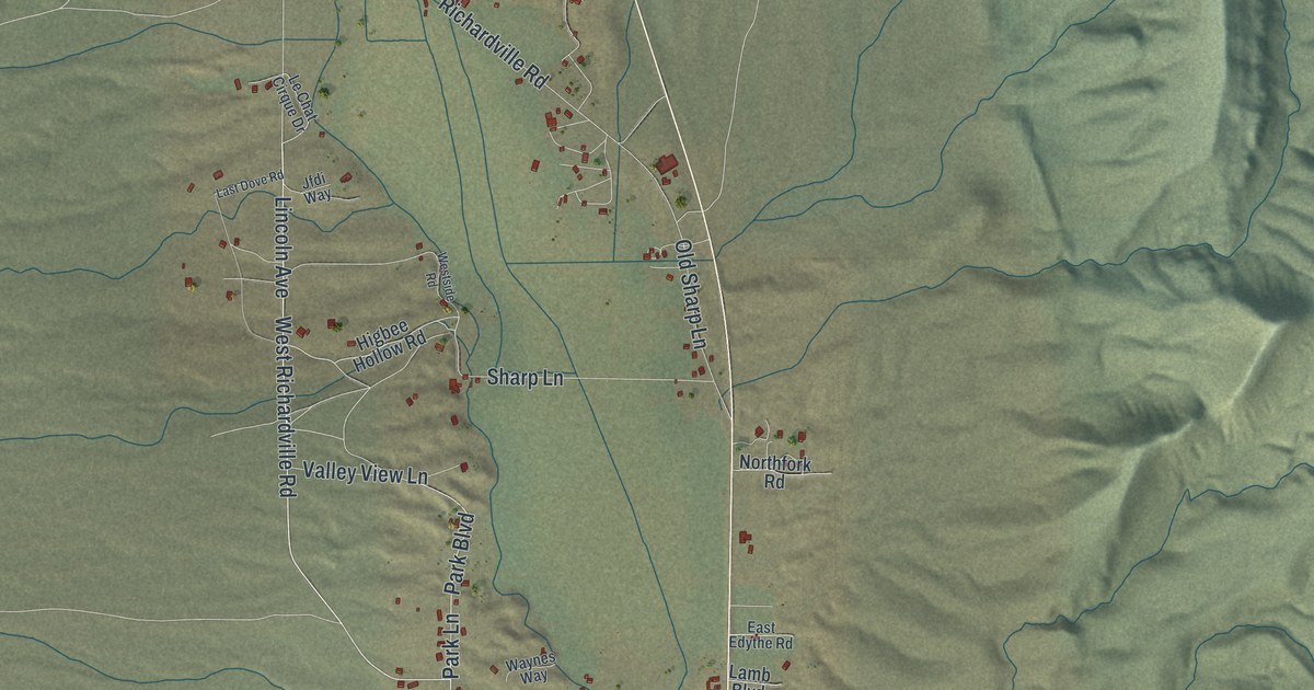
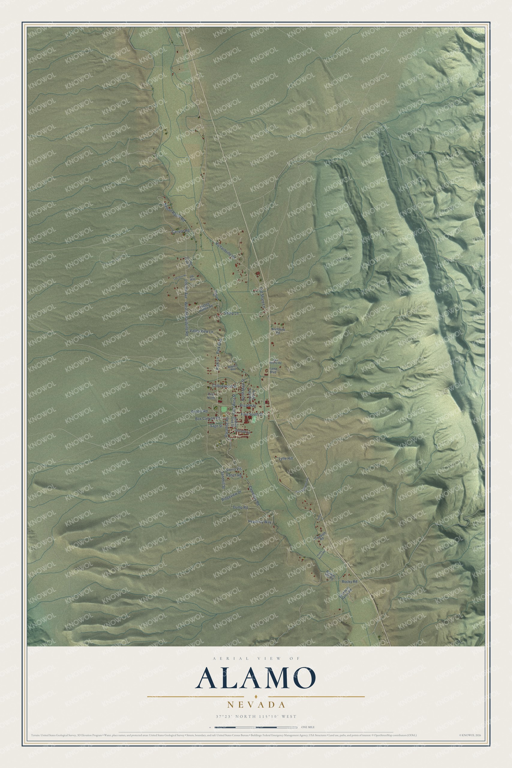
This beautifully detailed map of Alamo, Nevada was created in 2026 using aerial imagery combined with modern topographical, census, street and landmark data. It's a modern aerial view of Alamo in Lincoln County, Nevada, that combines modern data with a vintage aesthetic. The roads feature printed names, and if you look closely you can find your exact house accurately shown in its correct location.
Explore an aerial view of Alamo, Nevada
On this map you'll find Lincoln Avenue, Park Boulevard, Airport Road, First West Street, Sage Street, Box Canyon Road, West Richardville Road, Canyon Road, Park Lane, Dump Road, Sandhill Street, First South Street, and more. Each red shape is a building, so zoom in on the preview and look for yours.
Every town has a first chapter, and Alamo is no exception. Alamo, the main town of Pahranagat Valley, was laid out about 1900 and settled largely by people from Fredonia, Arizona. Some think the name recalls the famous battle of the Alamo, but the likelier story is that it comes from the Spanish word for poplar, for the cottonwood trees here. Fred Allen, Mike Botts and Bert Riggs were among the men who laid out the town, and its post office opened on May 12, 1905. That's from the Nevada Place Names dictionary.
Alamo is a community in Lincoln County. The Census Bureau counted 785 people here in 2020.
Take a closer look at the Alamo map
Names on this map
These names are printed on this map.
Streets and roads: Lincoln Avenue, Park Boulevard, Airport Road, First West Street, Sage Street, Box Canyon Road, West Richardville Road, Canyon Road, Park Lane, Dump Road, Sandhill Street, First South Street.
More street names, A to Z
Broadway, Buckhorn Ranch Road, Bunker Hill Road, Cemetery Road, Cottonwood Street, Cowpath Road, Danielle Lane, East Edythe Road, First North, Heavenly Way, Higbee Hollow Road, Hollow Lane, Jfdi Way, Joshua Tree Street, Lamb Boulevard, Last Dove Road, Le Chat Cirque Drive, Lytle Hill, Nelson Ranch Road, Northfork Road, North Main Street, Old Sharp Lane, Paradise Road, Prince Ranch Road, Purple Sage Avenue, Ranch Road, Richardville Road, Ridgeview Drive, Rocky Road, Sharp Lane, Sierra Vis, South Valley View Road, Valley View Lane, Waynes Way, Westside Road.
See it on a wall
The Alamo map as a framed print. Swipe for more.


Created by KNOWOL in 2026. The buildings are small red shapes, the roads carry their printed names, and shaded relief shows the shape of the land. The title panel reads "AERIAL VIEW OF ALAMO, NEVADA" with 37°23' NORTH 115°10' WEST.
Hang it in the hallway, the office or the cabin, or give it to someone who left Alamo and still calls it home. Open the preview and look for a street you know. See sizes and frames for the Alamo map.