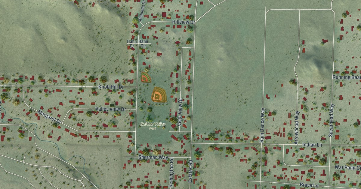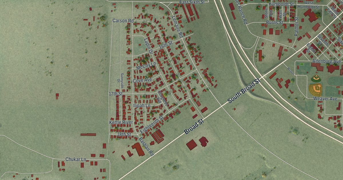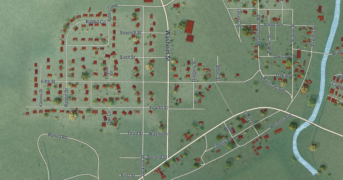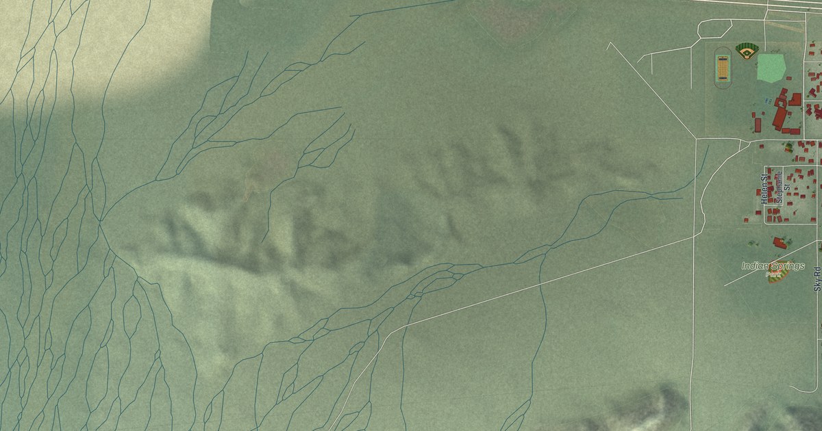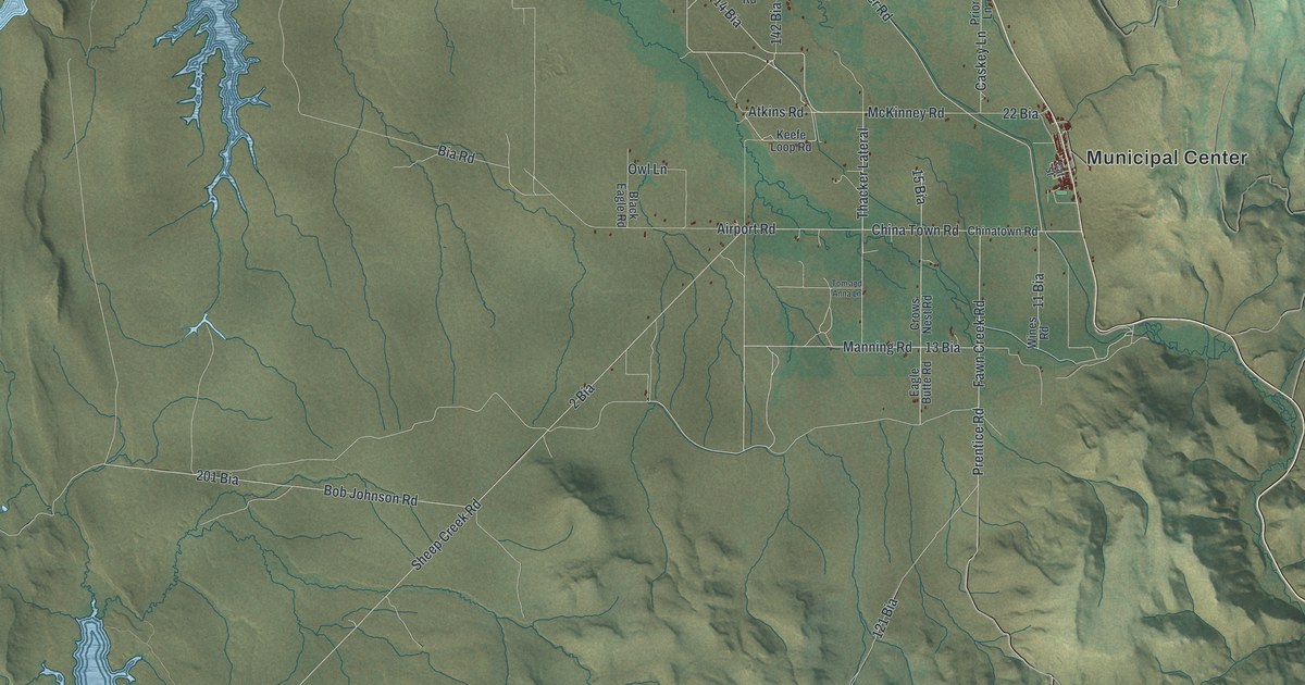
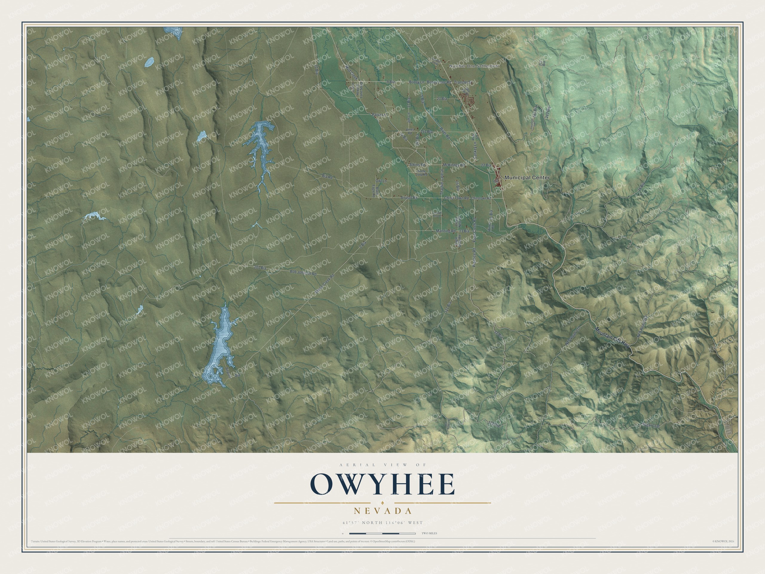
This beautifully detailed map of Owyhee, Nevada was created in 2026 using aerial imagery combined with modern topographical, census, street and landmark data. It's a modern aerial view of Owyhee in Elko County, Nevada, that combines modern data with a vintage aesthetic. The roads feature printed names, and if you look closely you can find your exact house accurately shown in its correct location.
Explore an aerial view of Owyhee, Nevada
On this map you'll find Municipal Center, Number One Settlement, Mountain City Highway, 9 Bia, Thacker Lateral, Manning Road, Boney Lane, Mud Creek, 16 Bia, 121 Bia, 15 Bia, 122 Bia, and more. Each red shape is a building, so zoom in on the preview and look for yours.
Here is a piece of Owyhee history. Bands of the Western Shoshone and Northern Paiute have shared the Duck Valley area since time immemorial. In 1884, when the government tried to move the Western Shoshone to the Fort Hall Reservation in Idaho and open Duck Valley lands to homesteaders, the headmen of the bands successfully resisted. In Owyhee the Swayne School was built, and after the reservation's day schools closed in 1931, all of its students went there. High school classes were added in 1946. That's from the Shoshone-Paiute Tribes of Duck Valley.
Owyhee is a community in Elko County. The Census Bureau counted 1,027 people here in 2020.
Take a closer look at the Owyhee map
Names on this map
These names are printed on this map.
Places: Municipal Center, Number One Settlement and Airport.
Streets and roads: Mountain City Highway, 9 Bia, Thacker Lateral, Manning Road, Boney Lane, Mud Creek, 16 Bia, 121 Bia, 15 Bia, 122 Bia, Bob Johnson Road, Prentice Road.
More street names, A to Z
2 Bia, 5 Bia, 10 Bia, 11 Bia, 12 Bia, 13 Bia, 14 Bia, 17 Bia, 21 Bia, 22 Bia, 141 Bia, 142 Bia, 161 Bia, 201 Bia, 212 Bia, 213 Bia, Airport Road, Atkins Road, Bia, Bia Road, Black Eagle Road, Boney Lane Road, Caskey Lane, Cat Street, China Town Road, Chinatown Road, Cleveland Trail, Crows Nest Road, Eagle Butte Road, Fawn Creek Road, Howard Lane South, Jim Lane, Jones Road, Keefe Loop Road, McKinney Road, NFS Road 022, NFS Road 177, NFS Road 179, Owl Lane, Paiva Lane, Paradise Road, Prior Lane, River Road, Sheep Creek Road, Sho Pai Drive, Sugar Loaf, Thomas Loop, Tom and Anna Lane, Transfel Street, Wines Road.
See it on a wall
The Owyhee map as a framed print. Swipe for more.


Created by KNOWOL in 2026. The buildings are small red shapes, the roads carry their printed names, and shaded relief shows the shape of the land. The title panel reads "AERIAL VIEW OF OWYHEE, NEVADA" with 41°57' NORTH 116°06' WEST.
It suits a den, a classroom or a front hall, and it makes a gift for anyone with Owyhee roots. Open the preview and find the block you know. See sizes and frames for the Owyhee map.