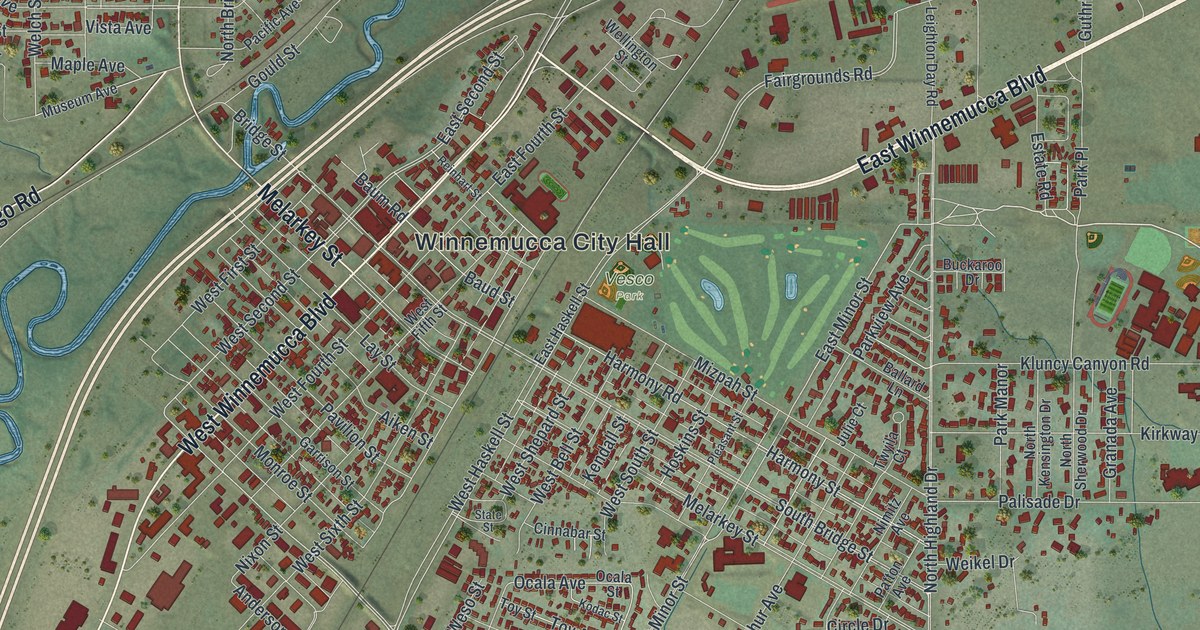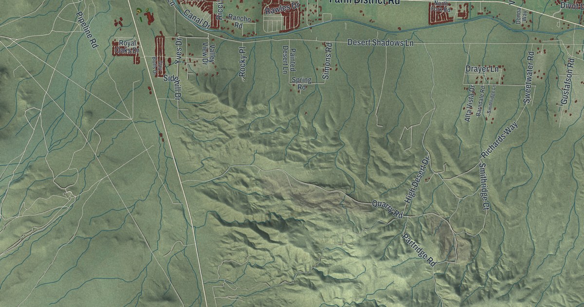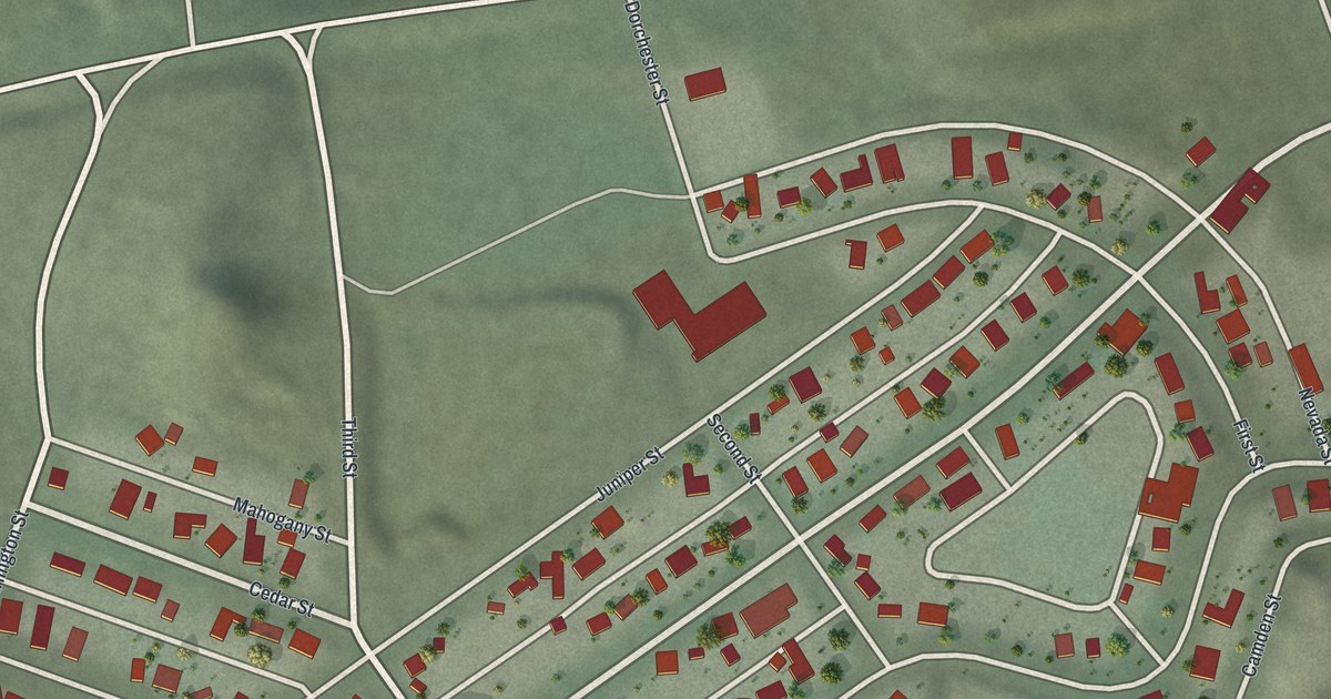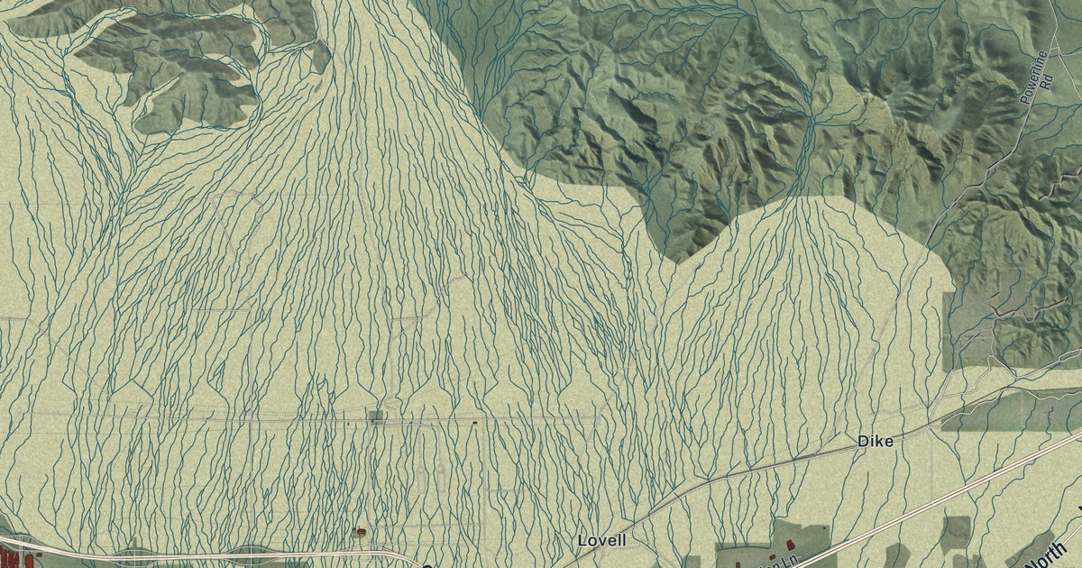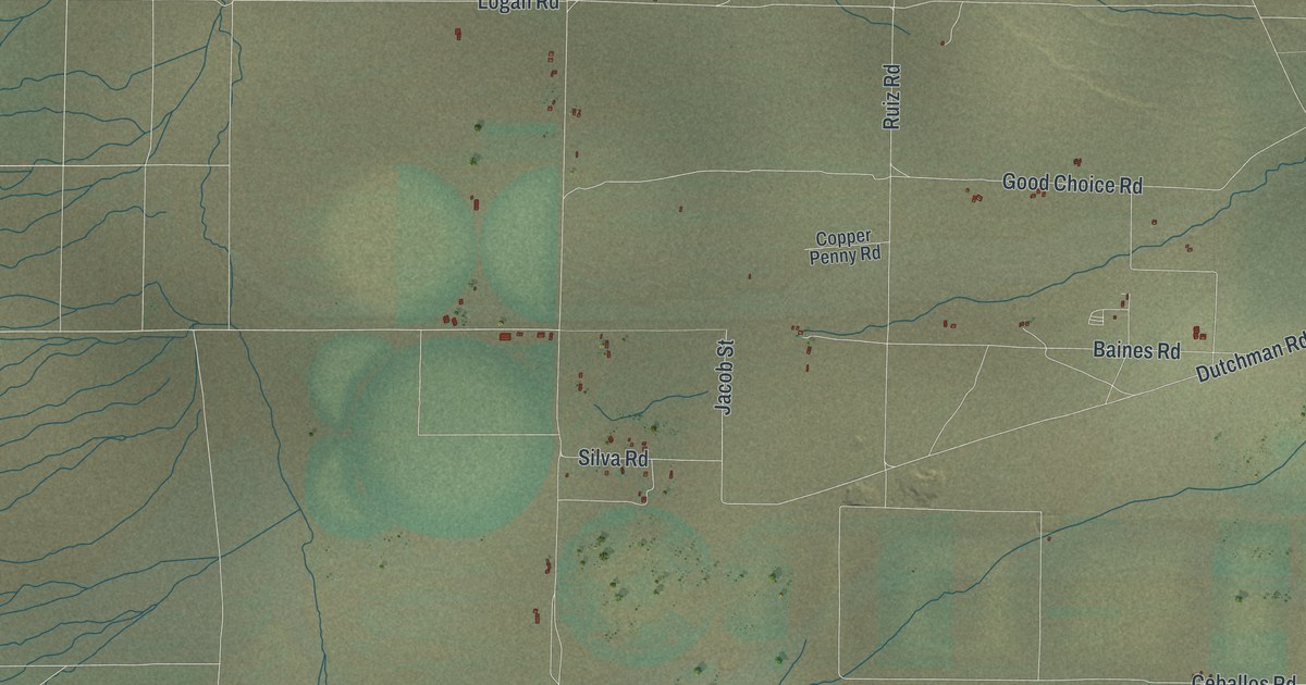
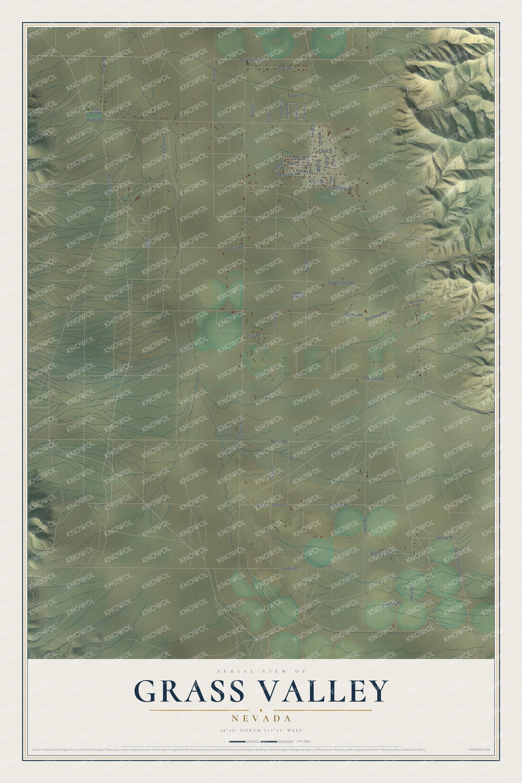
This beautifully detailed map of Grass Valley, Nevada was created in 2026 using aerial imagery combined with modern topographical, census, street and landmark data. It's a modern aerial view of Grass Valley in Pershing County, Nevada, that combines modern data with a vintage aesthetic. The roads feature printed names, and if you look closely you can find your exact house accurately shown in its correct location.
Explore an aerial view of Grass Valley, Nevada
On this map you'll find Mason Road, Herschell Road, Power Line Road, Arabian Road, Jar Lane, Baines Road, Carol Lane, Jacob Street, Jupiter Road, Grass Valley Road, Dutchman Road, Ceballos Road, and more. Each red shape is a building, so zoom in on the preview and look for yours.
Grass Valley is a community in Pershing County. The Census Bureau counted 991 people here in 2020. Grass Valley sits about 12 miles south of Winnemucca, 17 miles southwest of Golconda and 22 miles northeast of Imlay. The map prints the town name in its title panel, with the coordinates below it.
Take a closer look at the Grass Valley map
Names on this map
These names are printed on this map.
Streets and roads: Mason Road, Herschell Road, Power Line Road, Arabian Road, Jar Lane, Baines Road, Carol Lane, Jacob Street, Jupiter Road, Grass Valley Road, Dutchman Road, Ceballos Road.
More street names, A to Z
Amos Drive, Anthony Drive, Anthony Road, Arabian Lane, Ardis Drive, Badger Lane, Bear Lane, Bitler Road, Boyd Road, Carol Drive, Casey Drive, Clear Creek, Copper Penny Road, Coyote Lane, Dove Street, Dutchman Drive, Eagle Street, George Road, Good Choice Road, Harry Road, Hawk Street, Innean Road, Karen Drive, Katrena Drive, Lark Street, Logan Road, Longhorn Lane, McNeil Road, Mike Drive, Misty Court, Muddy Road, Rabbit Lane, Raccoon Lane, Rose Peak Road, Ruiz Road, Sandi Drive, Silva Road, Tausha Drive, Tina Court, Tony Drive, Van Diest Road, Verwolf Drive, Wren Street, Youngberg Road.
See it on a wall
The Grass Valley map as a framed print. Swipe for more.


Created by KNOWOL in 2026. The buildings are small red shapes, the roads carry their printed names, and shaded relief shows the shape of the land. The title panel reads "AERIAL VIEW OF GRASS VALLEY, NEVADA" with 40°48' NORTH 117°45' WEST.
Hang it in the hallway, the office or the cabin, or give it to someone who left Grass Valley and still calls it home. Open the preview and look for a street you know. See sizes and frames for the Grass Valley map.