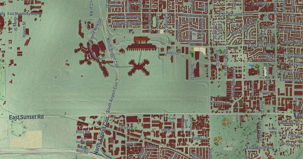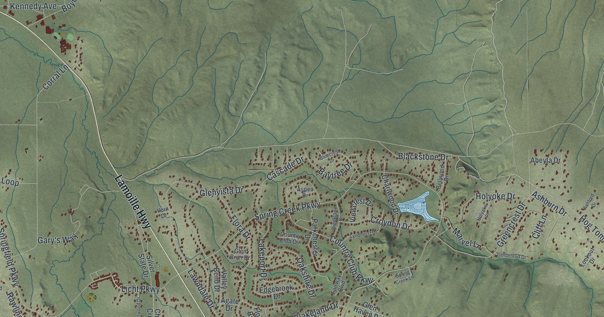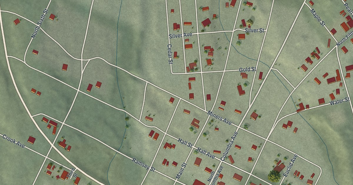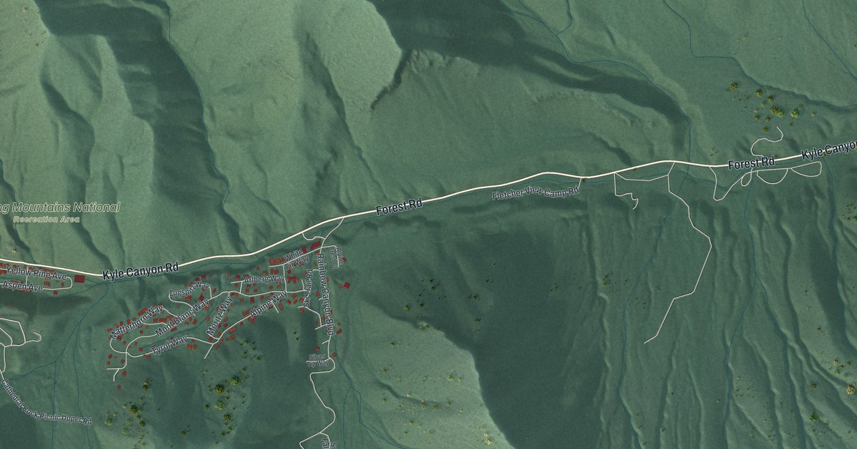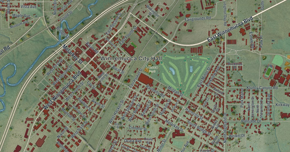
This beautifully detailed map of Winnemucca, Nevada was created in 2026 using aerial imagery combined with modern topographical, census, street and landmark data. It’s a one-of-a-kind view of Winnemucca that combines accurate data with a vintage aesthetic. The map shows every building in its true location, many of the roads carry their names, and the shaded topographic relief shows the shape of the land.
Explore an aerial view of Winnemucca, Nevada
On the map you’ll find Winnemucca City Hall and Vesco Park, along with East Winnemucca Boulevard, West Winnemucca Boulevard, Jungo Road, Melarkey Street, Carson Drive, Great Basin Drive, Great Basin Avenue, Water Canyon Road, Hanson Street, Whitaker Drive, and more. If you look closely you can even find your house accurately drawn in its correct location. Zoom in on the preview to look for yours.
Did you know this piece of Winnemucca, Nevada history?
From Travel Nevada: "The 1860s construction of the Transcontinental Railroad (which built out existing East Coast railways all the way to San Francisco) also helped put Winnemucca on the map. This historic endeavor brought a community of Chinese workers to the area who, along with Basque sheepherders from southern Europe’s Basque Country, contributed to the town’s cultural background."
Take a closer look at the Winnemucca map
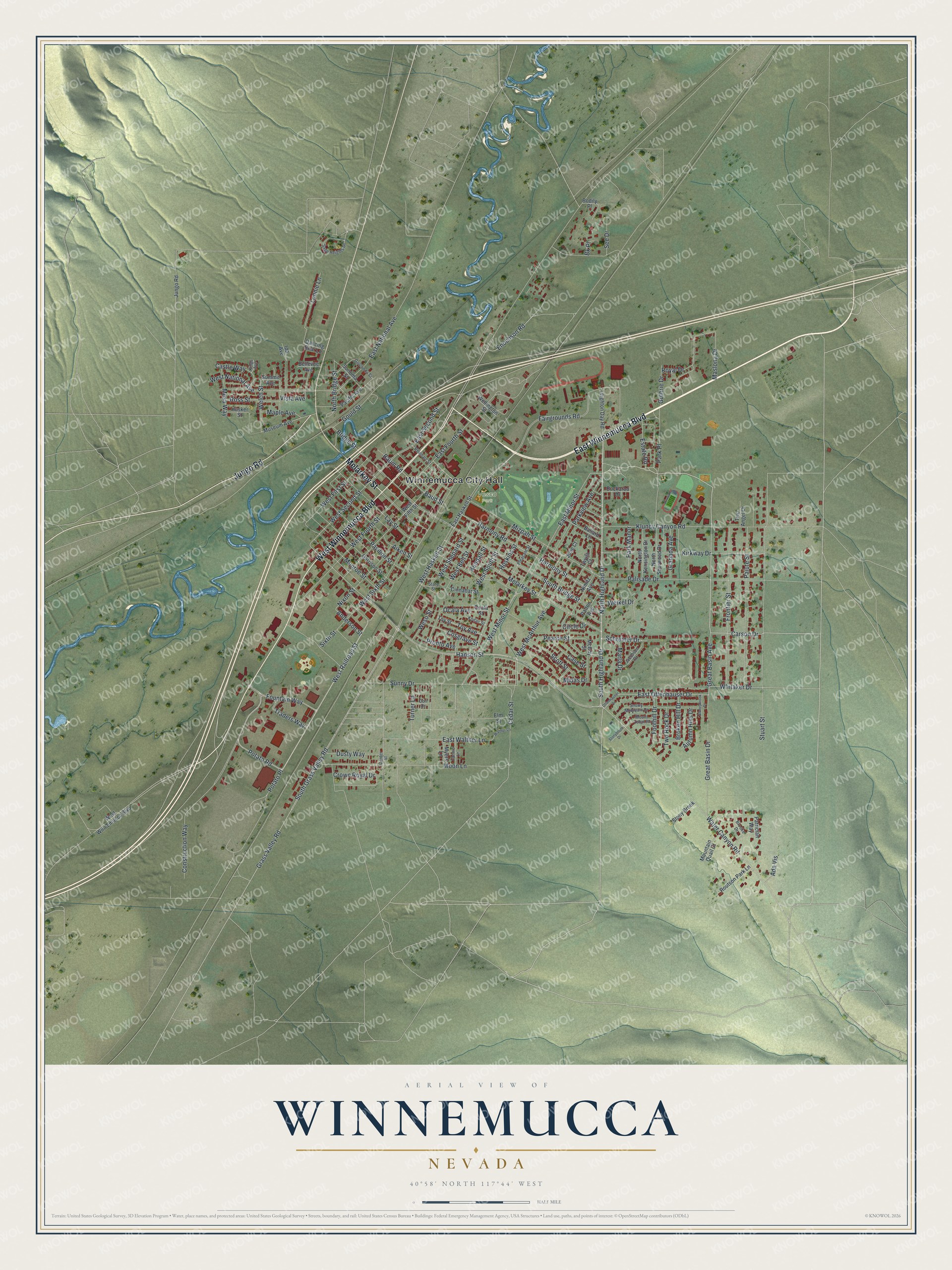
Street and place names on the Winnemucca, Nevada map
These names are printed on the map of Winnemucca, Nevada.
Places: Winnemucca City Hall and Vesco Park.
Streets and roads: East Winnemucca Boulevard, West Winnemucca Boulevard, Jungo Road, Melarkey Street, Carson Drive, Great Basin Drive, Great Basin Avenue, Water Canyon Road, Hanson Street, Whitaker Drive, South Highland Drive, Foothill Drive.
More street names, A to Z
Ada Vis, Aiken Street, Anderson Street, Autumn Hills Drive, Ballard Lane, Baud Street, Baum Road, Bellevue Avenue, Bk Place, Bodily Place, Bridge Street, Broken Hill Drive, Brooke Drive, Buckaroo Drive, Case Street, Castle Way, Cedar Street, Center Street, Cinnabar Street, Circle Drive, Construction Way, Cosgrave Street, Crown Royal Drive, Dancing Bear Lane, Dori Drive, Dusty Way, East Fourth Street, East Haskell Street, East Minor Street, East National Avenue, East Offenhauser Drive, East Second Street, East Walther Lane, Elm Street, Enochson Road, Estate Road, Fairgrounds Road, Fannie Lane, Fountain Way, Frontier Street, Garrison Street, Golconda Street, Gould Street, Granada Avenue, Grass Valley Road, Guthrie Drive, Harmony Road, Harmony Street, Hoskins Street, Husker Street, Ida Avenue, Jacobsen Drive, Julie Court, Kendall Street, Kings Avenue, Kirkway Drive, Kluncy Canyon Road, Kodac Street, Lay Street, Leighton Day Road, Lonnie Lane, Maple Avenue, Marla Drive, Maslona Drive, McCoy Street, Mesa Way, Midas Drive, Mizpah Street, Monroe Street, Moon Lane, Mountain Quail Court, Mount Tobin Place, Museum Avenue, Myers Lane, Nimitz Avenue, Nixon Street, North Bridge Street, North Highland Drive, North Kensington Drive, North Sherwood Drive, Ocala Avenue, Ocala Street, Offenhauser Drive, Pacific Avenue, Paiute Street, Palisade Drive, Park Manor, Park Place, Parkview Avenue, Patrician Way, Patton Avenue, Pavilion Street, Pearce Street, Pleasant Street, Potato Place, Potato Road, Pronto Avenue, Reinhart Street, Ross Street, Routson Park Lane, Royal Drive, Sage Heights Drive, Schreiner Drive, Scott Street, See Drive, Sixth Street, Snowy Mountain Drive, Sonoma Street, South Bridge Street, South Grass Valley Road, State Street, Stoneybrook Drive, Stony Brook, Stonybrook Drive, Stuart Street, Summit Avenue, Sunny Drive, Toy Avenue, Toy Street, Traders Way, Turner Lane, Two Angel Drive, Two Rock Drive, Twyila Court, Vista Avenue, Walther Lane, Weikel Drive, Welch Street, Wellington Street, Weso Street, West Bell Street, West Fifth Street, West First Street, West Fourth Street, West Haskell Street, West McArthur Avenue, West Minor Street, West National Avenue, West Railroad Street, West Second Street, West Shepard Street, West Sixth Street, West South Street.
See the Winnemucca, Nevada map on a wall
The Winnemucca map as an 18 x 24 inch print in a black frame.

This beautifully detailed map of Winnemucca makes an attractive addition to your office, library, or den, and it can even be used to teach children the geography and history of the area. It also makes a great gift for anyone with Winnemucca roots. When you’re done exploring, click here to get your copy of the Winnemucca map.