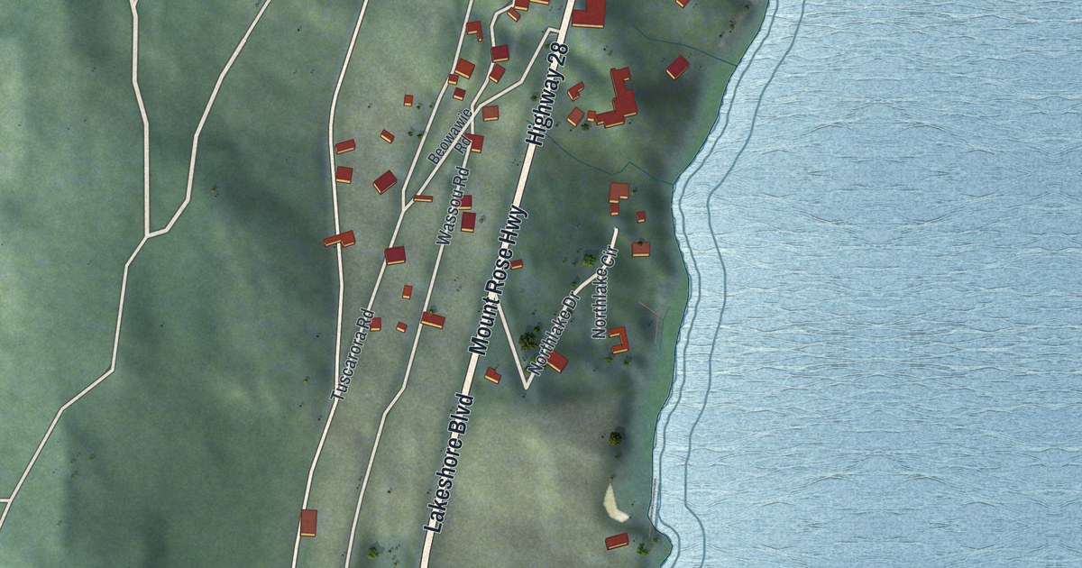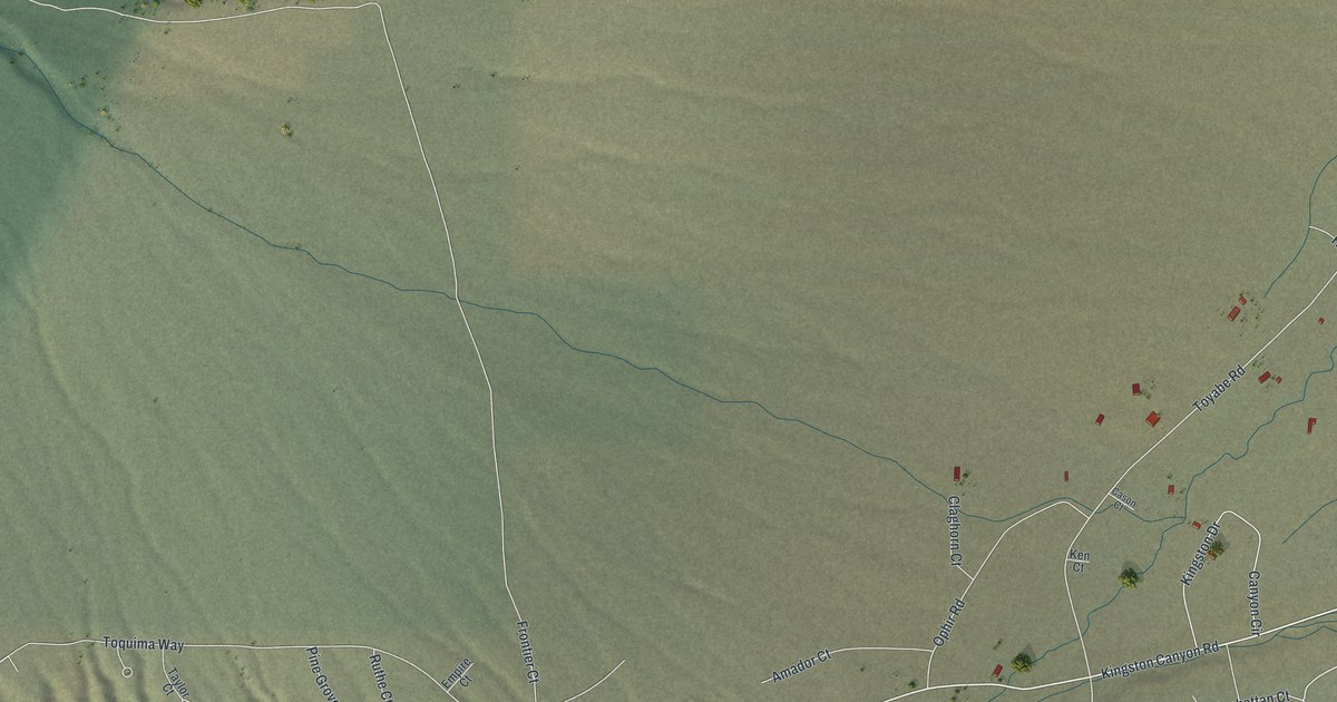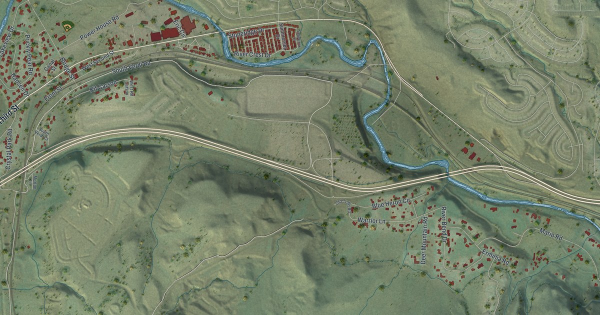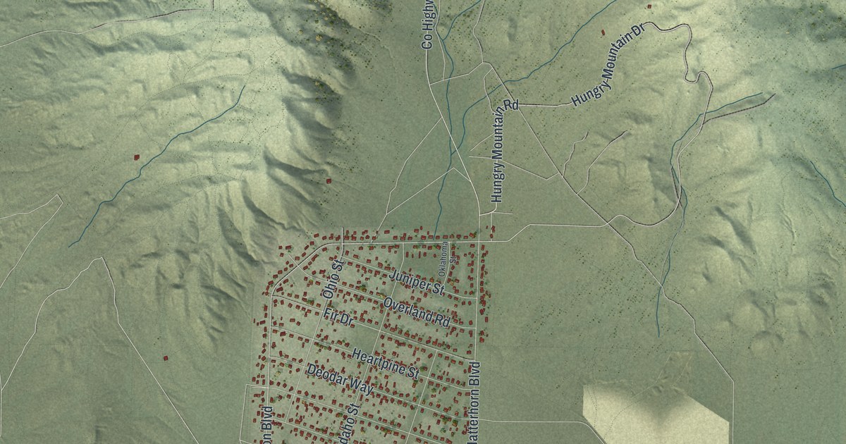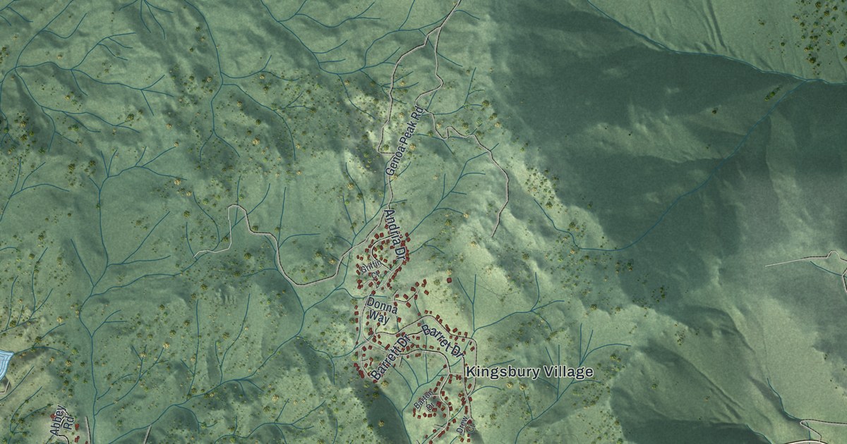
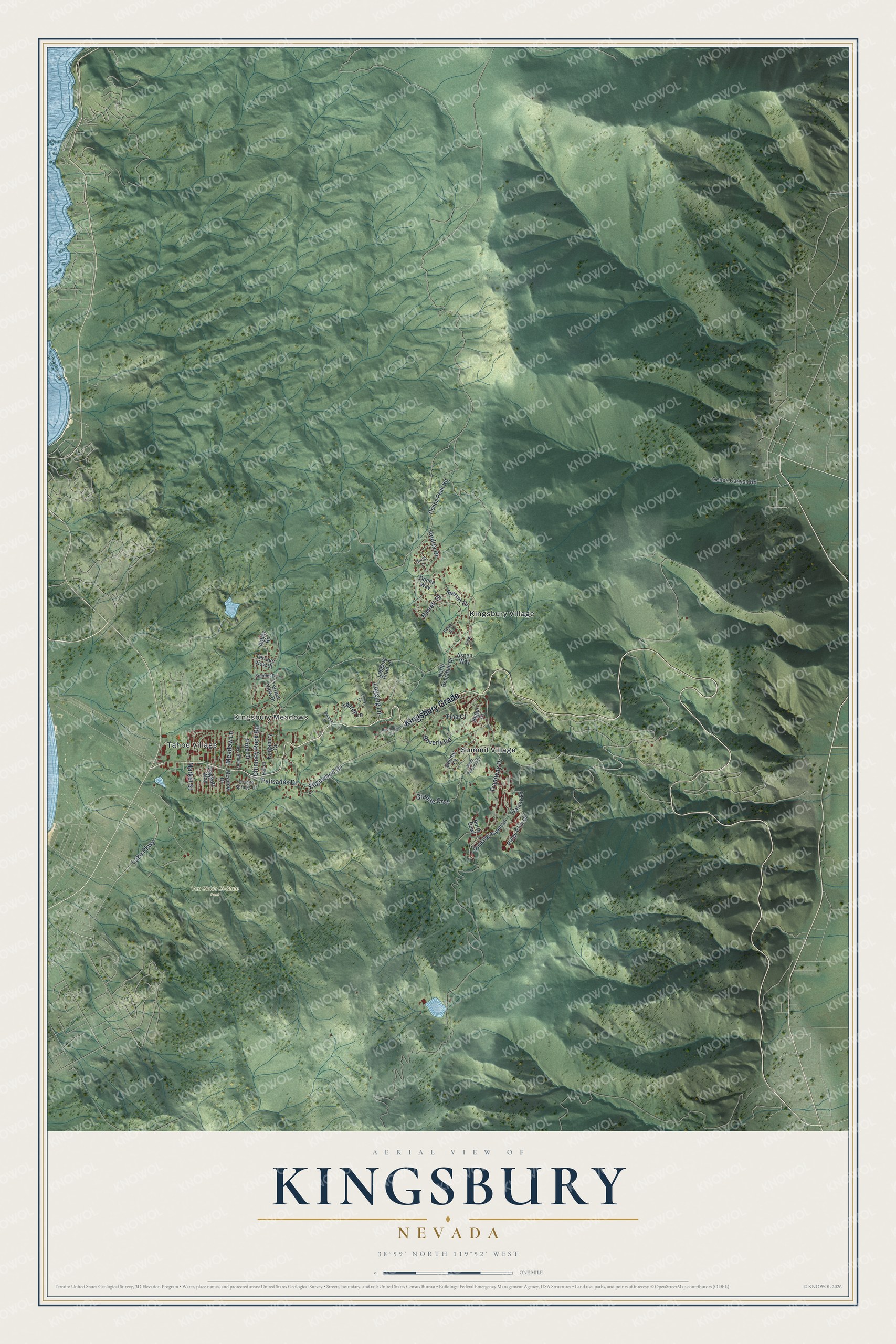
This beautifully detailed map of Kingsbury, Nevada was created in 2026 using aerial imagery combined with modern topographical, census, street and landmark data. It's a modern aerial view of Kingsbury in Douglas County, Nevada, that combines modern data with a vintage aesthetic. The roads feature printed names, and if you look closely you can find your exact house accurately shown in its correct location.
Explore an aerial view of Kingsbury, Nevada
On this map you'll find Kingsbury Meadows, Van Sickle Bi-State Park, Kingsbury Village, Summit Village, Tahoe Village, Kingsbury Grade, Lake Parkway, Edgewood Drive, Palisades Drive, Andria Drive, Tramway Drive, Chimney Rock Road, and more. Each red shape is a building, so zoom in on the preview and look for yours.
Kingsbury has a story worth telling. Friday's Station was built in 1860 as an inn and Pony Express station on the Kingsbury Grade. Of the thirty Pony Express stations built in Nevada, it is the only one to survive essentially intact. It was the home station of rider Pony Bob Haslam, whose 380 mile ride was the longest by a single rider. Martin Burke, known as Friday, and James Washington Small founded the station in March 1860. It also served the Pioneer Stage Line and the Wells Fargo Express. That's from the National Register of Historic Places.
Kingsbury is a community in Douglas County. The Census Bureau counted 2,313 people here in 2020.
Take a closer look at the Kingsbury map
Names on this map
These names are printed on this map.
Places: Kingsbury Meadows, Van Sickle Bi-State Park, Kingsbury Village, Summit Village and Tahoe Village.
Streets and roads: Kingsbury Grade, Lake Parkway, Edgewood Drive, Palisades Drive, Andria Drive, Tramway Drive, Chimney Rock Road, Barrett Drive, Granite Crst, Barret Drive, Tina Court, Beverly Road.
More street names, A to Z
Abbey Road, Aspen Way, Barton Drive, Bigler Court, Bonnie Court, Buchanan Road, Daggett Way, Donna Way, Drew Court, Ellery Lane, Galaxy Lane, Genoa Canyon Road, Genoa Peak Road, Granite Springs Drive, Griffin Court, Hall Court, Juniper Drive, Kingsbury Circle, Laurel Lane, Logging Lane, Logging Road Lane, Market Street, Meadow Drive, Meadow Lane, North Benjamin Drive, North Bowl, Pine Drive, Quaking Aspen Lane, Ridge Club Drive, South Benjamin Drive, Summer Place, Summit Drive, Terrace View Drive, Terrace View Street.
See it on a wall
The Kingsbury map as a framed print. Swipe for more.


Created by KNOWOL in 2026. The buildings are small red shapes, the roads carry their printed names, and shaded relief shows the shape of the land. The title panel reads "AERIAL VIEW OF KINGSBURY, NEVADA" with 38°59' NORTH 119°52' WEST.
It looks right in a kitchen, an office or a den, and it's a gift for anyone who grew up in Kingsbury or moved away. Open the preview and find your street. See sizes and frames for the Kingsbury map.