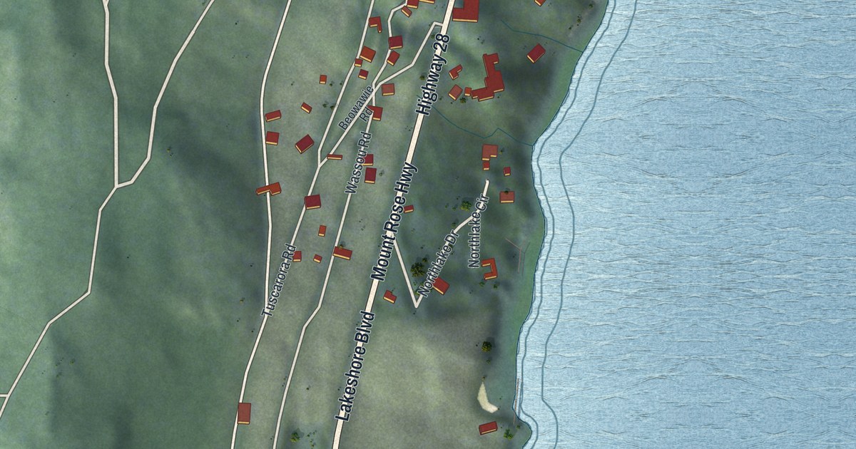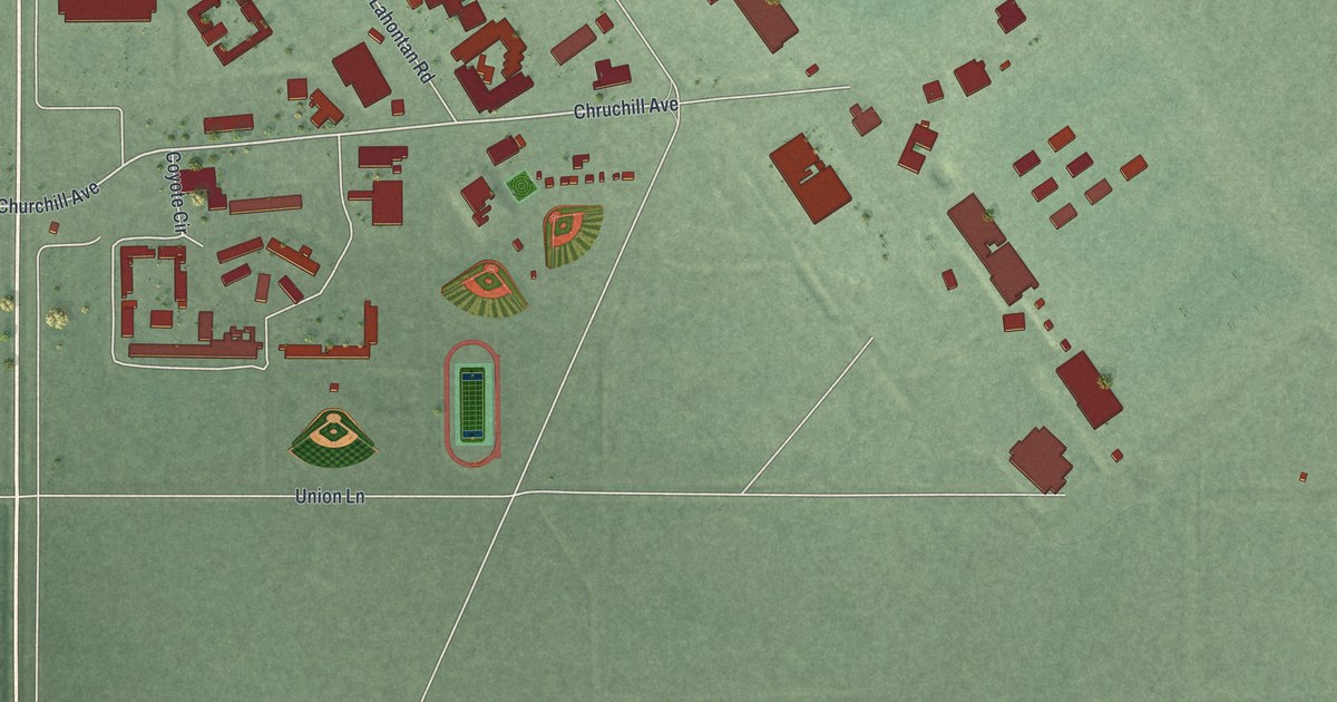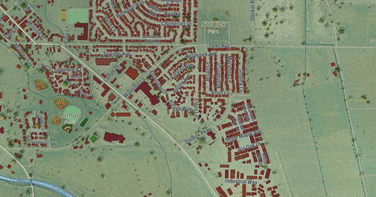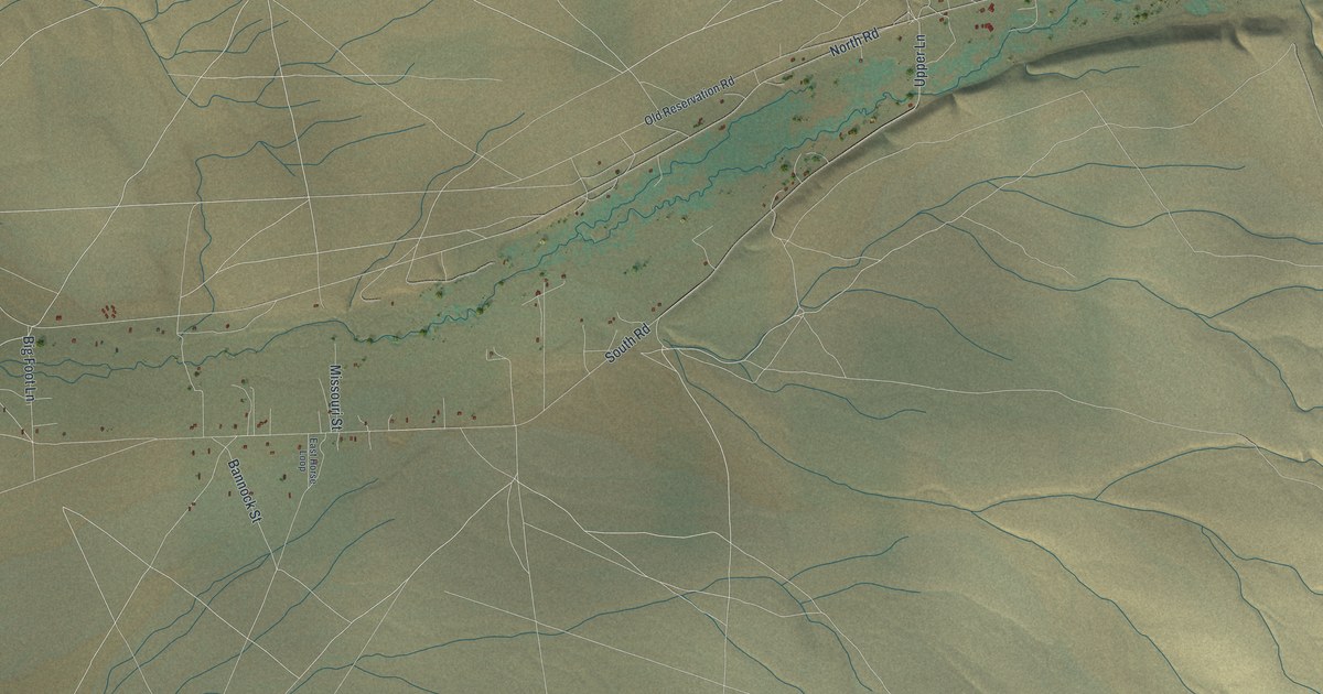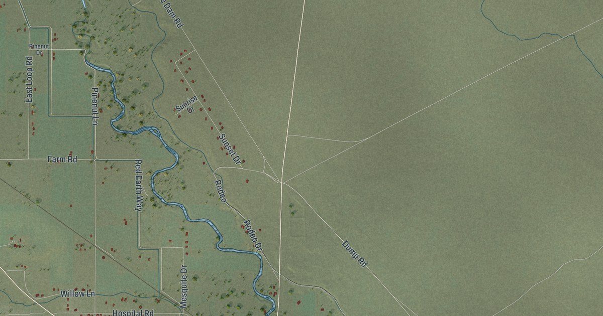
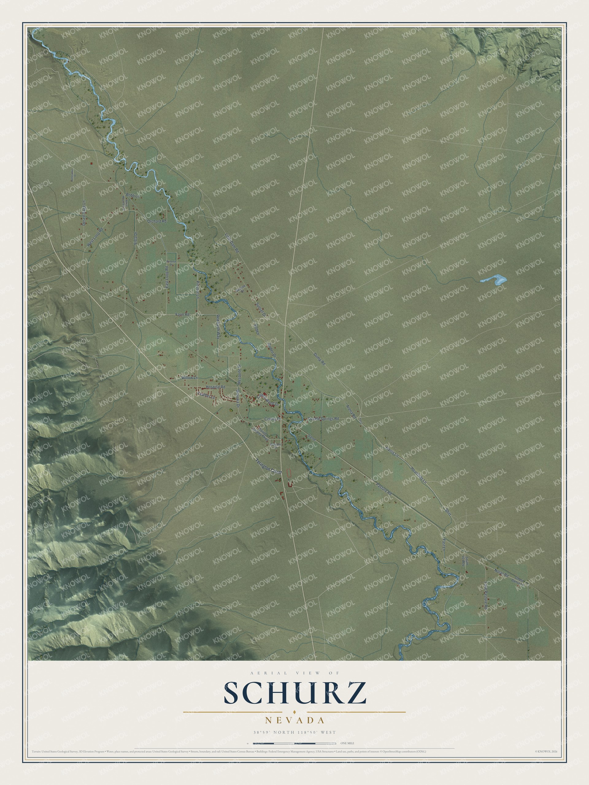
This beautifully detailed map of Schurz, Nevada was created in 2026 using aerial imagery combined with modern topographical, census, street and landmark data. It's a modern aerial view of Schurz in Mineral County, Nevada, that combines modern data with a vintage aesthetic. The roads feature printed names, and if you look closely you can find your exact house accurately shown in its correct location.
Explore an aerial view of Schurz, Nevada
On this map you'll find Harris Lane, Shirt, Dump Road, Rodeo Drive, Wovoka Drive, Rodeo, Farm Road, Feather Lane, Pinenut Lane, Irene, Fast Lane, Nolan Road, and more. Each red shape is a building, so zoom in on the preview and look for yours.
Here is a piece of Schurz history. The Walker River Paiute Tribe, traditionally the Agai Dicutta, or Trout Eaters, has traveled, cared for and lived off this land in the heart of the Great Basin for thousands of years, and Schurz is its center. In the Tribe's own words, Walker Lake is Agai Pahnunadu, Trout Lake. Land around Walker Lake was set aside in 1859, and on March 19, 1874, President Ulysses Grant signed the order that formally created the Walker River Indian Reservation. That's from the Walker River Paiute Tribe.
Schurz is a community in Mineral County. The Census Bureau counted 656 people here in 2020.
Take a closer look at the Schurz map
Names on this map
These names are printed on this map.
Streets and roads: Harris Lane, Shirt, Dump Road, Rodeo Drive, Wovoka Drive, Rodeo, Farm Road, Feather Lane, Pinenut Lane, Irene, Fast Lane, Nolan Road.
More street names, A to Z
Arena Road, Badlands Drive, Bobb Lane, Colony Drive, Cotton Wood Drive, Desert Sage Lane, Double Springs Road, East Loop Road, Ghost Dance Lane, Harris, Heartfalls Lane, Hospital Road, Lake Pasture Road, Little Dam Road, Mesquite Drive, Orchard Road, Paiute Estates Parkway, Pasture Road, Pinenut Drive, Rattlesnake Drive, Red Earth Way, South 40 Way, Sunrise Drive, Sunset Drive, Vista Drive, West Loop Road, White Mountain Drive, Willow Lane, Yerington Cutoff.
See it on a wall
The Schurz map as a framed print. Swipe for more.


Created by KNOWOL in 2026. The buildings are small red shapes, the roads carry their printed names, and shaded relief shows the shape of the land. The title panel reads "AERIAL VIEW OF SCHURZ, NEVADA" with 38°59' NORTH 118°50' WEST.
It suits a den, a classroom or a front hall, and it makes a gift for anyone with Schurz roots. Open the preview and find the block you know. See sizes and frames for the Schurz map.