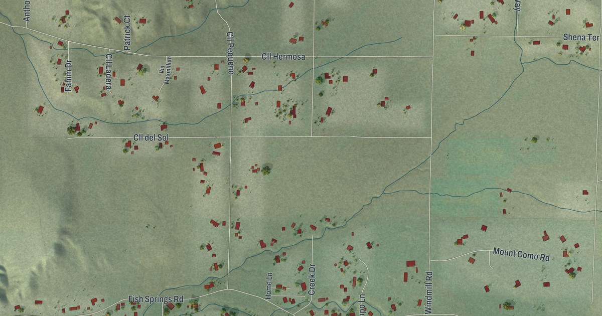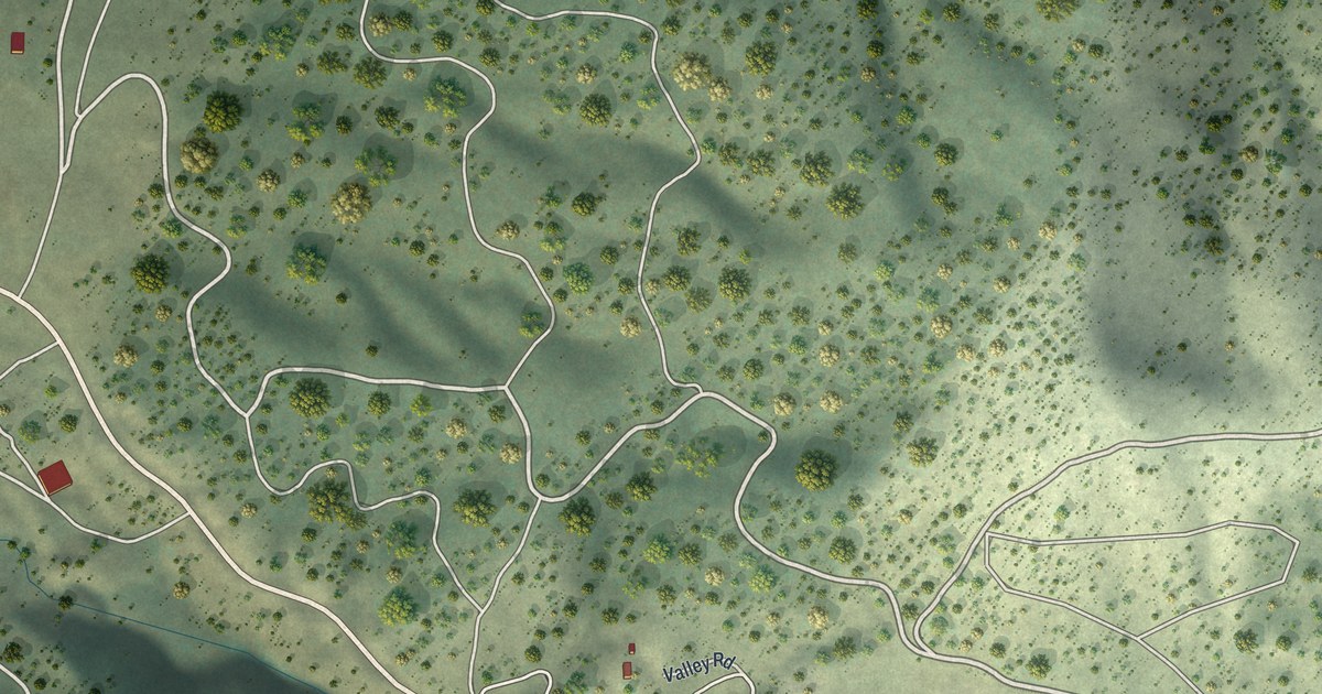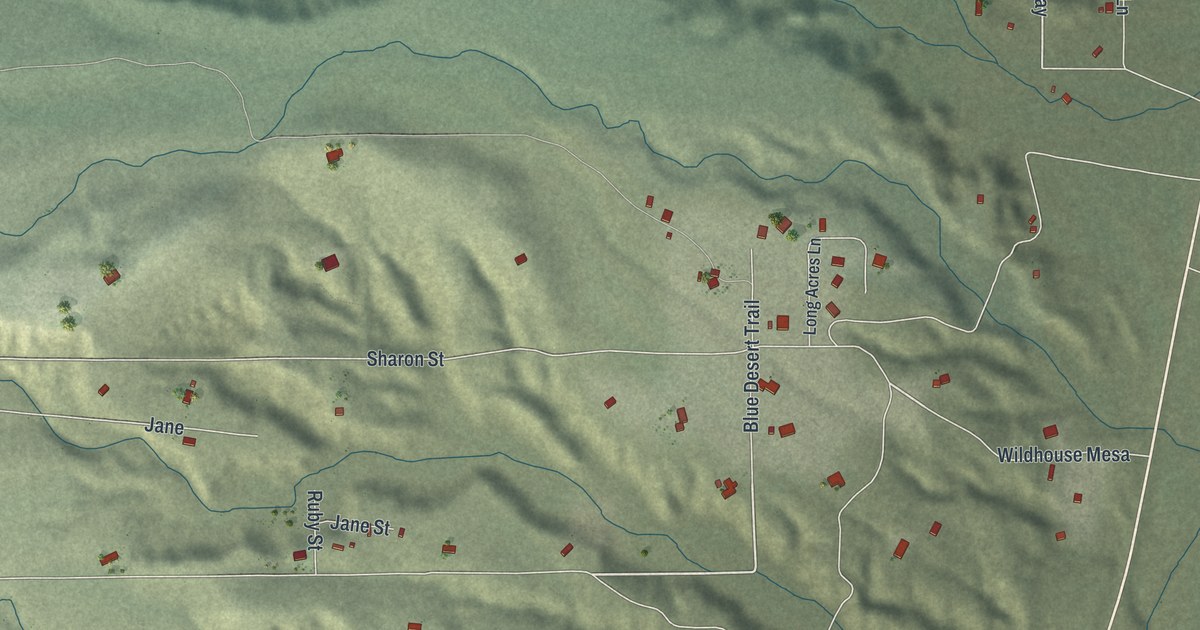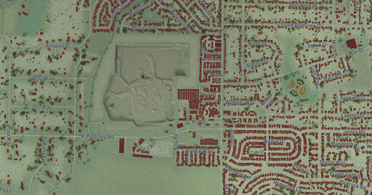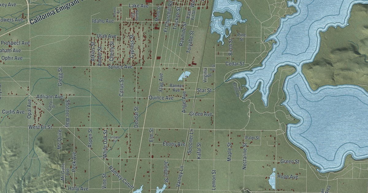
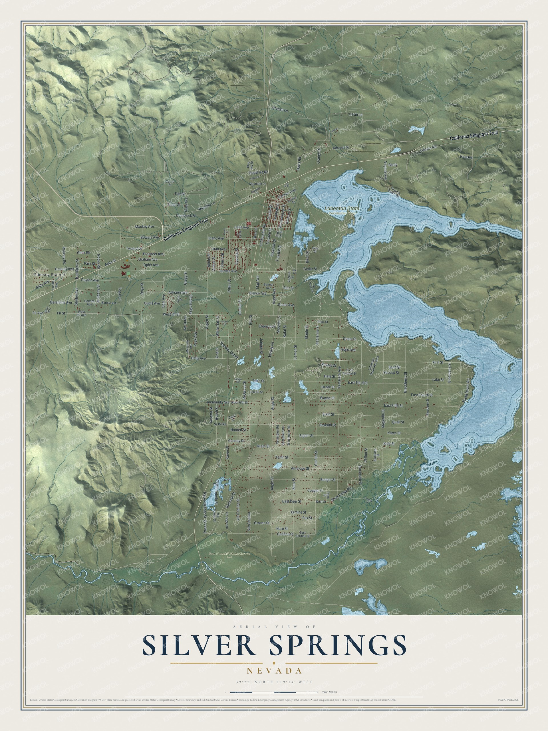
This beautifully detailed map of Silver Springs, Nevada was created in 2026 using aerial imagery combined with modern topographical, census, street and landmark data. It's a modern aerial view of Silver Springs in Lyon County, Nevada, that combines modern data with a vintage aesthetic. The roads feature printed names, and if you look closely you can find your exact house accurately shown in its correct location.
Explore an aerial view of Silver Springs, Nevada
On this map you'll find Ramsey Station, Fort Churchill State Historic Park, Lahontan State Recreation Area, California Emigrant Trail, Fir Avenue, Deodar Street, Varney Lane, Spruce Avenue, West Fir Street, Star Street, Holly Avenue, Hackberry Street, and more. Each red shape is a building, so zoom in on the preview and look for yours.
Here is a piece of Silver Springs history. Samuel Buckland settled at Buckland's Station in 1859, started a ranch, opened a station for the Overland Stage Company, and built the first bridge across the Carson River downstream from Genoa. In 1860 his station served as a remount station on the Pony Express route. In 1864 he opened a store for travelers, neighbors and the soldiers at nearby Fort Churchill. He later built a large two-story house from materials salvaged when the fort was taken down. That's from the Nevada State Historic Preservation Office.
Silver Springs is a community in Lyon County. The Census Bureau counted 5,629 people here in 2020.
Take a closer look at the Silver Springs map
Names on this map
These names are printed on this map.
Places: Ramsey Station, Fort Churchill State Historic Park and Lahontan State Recreation Area.
Streets and roads: California Emigrant Trail, Fir Avenue, Deodar Street, Varney Lane, Spruce Avenue, West Fir Street, Star Street, Holly Avenue, Hackberry Street, Shirlee Avenue, Lincoln Road, Glick Road.
More street names, A to Z
Adriann Avenue, Almond Drive, Amber Street, Amie Street, Angel Avenue, Angel Street, Angle Street, Anita Avenue, Annetta Street, Antelope Street, Aspen Street, Atkins Street, Badger Street, Banner Avenue, Barlow Avenue, Bass Street, Beaty, Beech Street, Birch Street, Blackberry Street, Blueberry Street, Blue Sky Drive, Bowers Avenue, Buckland Street, Carey Street, Caribou Street, Catfish Street, Cedar Street, Cherry Street, Cheryl Street, Citrus Street, Clifton Street, Comstock Street, Cooney Drive, Cougar Circle, Cougar Street, Crest Drive, Curtis Avenue, Curtis Street, Cypress Street, Dace Street, Davis Road, Dayton Avenue, Deer Street, Donner Trail, East Caribou Street, East Deer Street, East Fifth Street, East Fir Street, East Fourth Street, East Second Street, East Third Street, Ebony Avenue, Eighth Street, Elderberry Street, Elko Street, Elm Street, Ermine Street, Eureka Street, Fair Street, Fir Street, First Street, Flag Avenue, Flood Street, Fourth Street, Fox Street, Ft Churchill Road, Geraldine Avenue, Graham Avenue, Greeley Avenue, Green Avenue, Green Street, Gregg Street, Grouse Street, Hale Street, Hare Street, Henry Street, Holmes Avenue, Hooten Street, Hope Avenue, Idaho Avenue, Indigo Avenue, Jacaranda Avenue, Juniper Street, Kafal Street, Karen Street, Karyn Street, Katy Street, Lahontan State Rec Area, Lake Avenue, Lake Street, Lemon Street, Lincoln Circle, Lizzie Lane, Lucille Avenue, Mackey Avenue, Magnolia Street, Maple Street, Mc Guire Avenue, Mc Quire, Micro Way, Mono Street, Mountain Drive, Mulberry Street, Nectarine Street, Ninth Street, No Beach Road, Oak Avenue, Onyx Street, Opal Avenue, Ophir Avenue, Orange Drive, Orange Lane, Palm Street, Park Street, Paseo Grande Street, Paseo Street, Peek Avenue, Pine Street, Powell Street, Prospect Avenue, Pueblo Street, Quail Street, Quince Avenue, Railroad Street, Ramsey, Ramsey Cutoff, Ramsey Road, Ramsey Street, Ranchito Drive, Rawhide Street, Redwood Street, Remington Road, Revere Street, Rhyolite Lane, River Valley Road, Rocky Road, Ruby Avenue, Sand Street, Sapphire Road, Second Street, Seventh Street, Shofner Way, Sixth Street, South Beach Road, Spooner Lane, Spring Circle, Springfield Road, Ss Pit Road, Sycamore Street, Tamarack Avenue, Tenth Street, Third Street, Toiyabe Street, Toledo Street, Tonopah Street, Topaz Street, Truckee Street, Twain Avenue, Utah Avenue, Via Camino Street, Via Catalina, Via Segundo, Via Toledo Street, Vine Street, Virginia Avenue, Virginia Beach Road, Virginia Street, Wayne Street, West Fifth Street, West Fir Avenue, Whelan Lane, White Oak Street, Winchester Road, Winnemucca Street, Yaffe Street.
See it on a wall
The Silver Springs map as a framed print. Swipe for more.


Created by KNOWOL in 2026. The buildings are small red shapes, the roads carry their printed names, and shaded relief shows the shape of the land. The title panel reads "AERIAL VIEW OF SILVER SPRINGS, NEVADA" with 39°22' NORTH 119°14' WEST.
It suits a den, a classroom or a front hall, and it makes a gift for anyone with Silver Springs roots. Open the preview and find the block you know. See sizes and frames for the Silver Springs map.