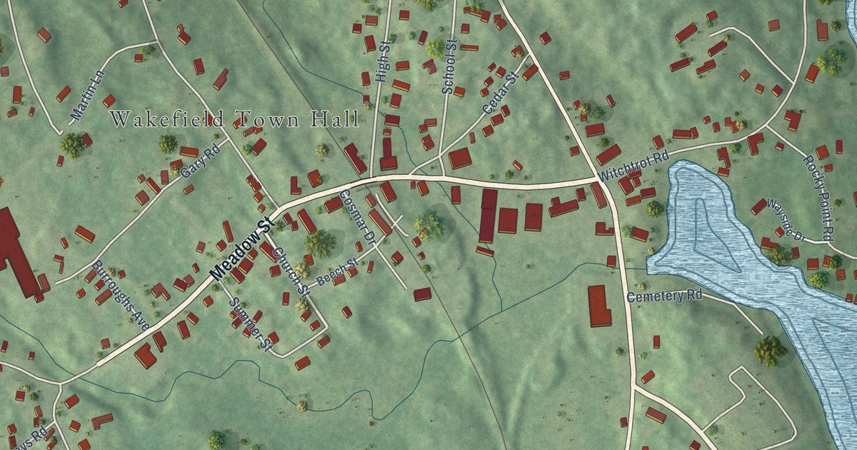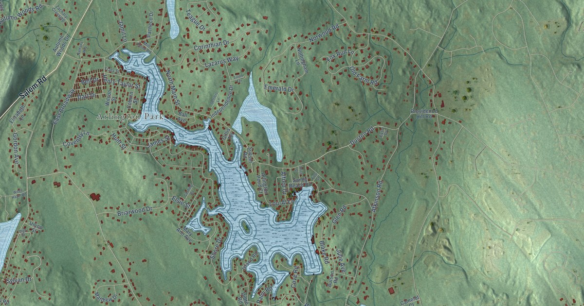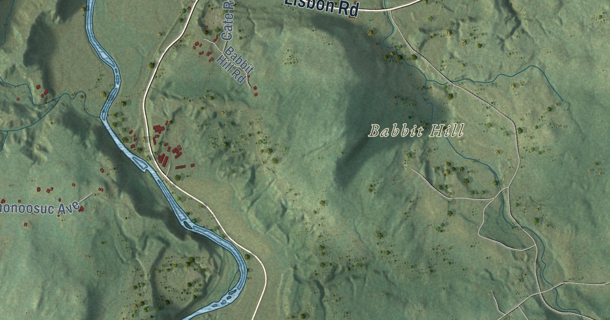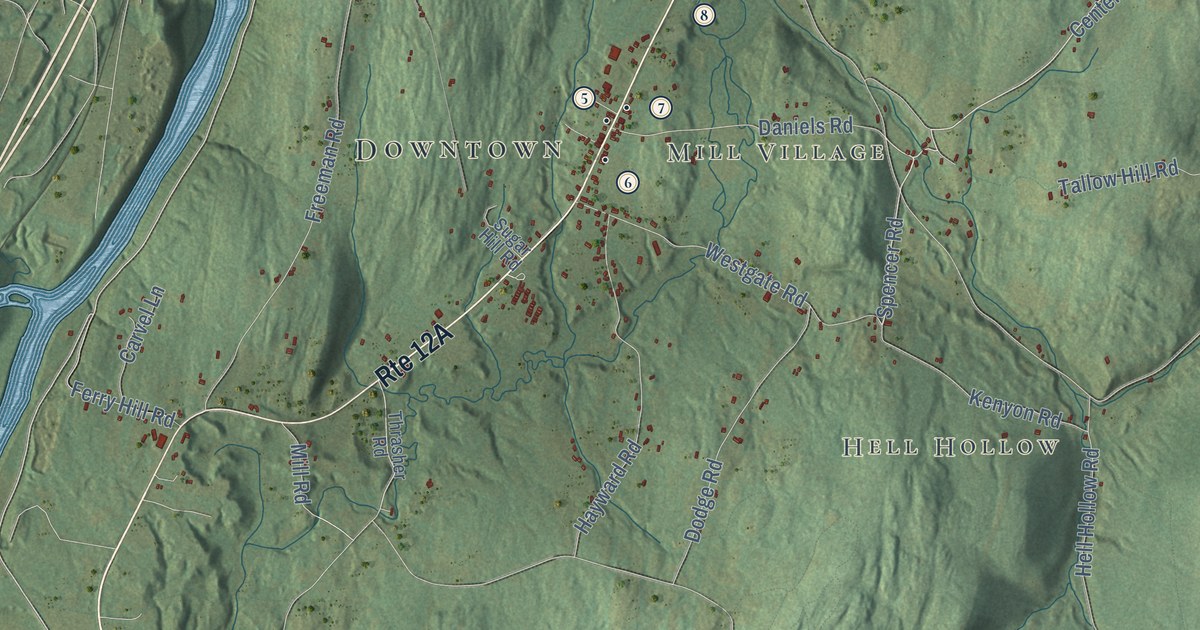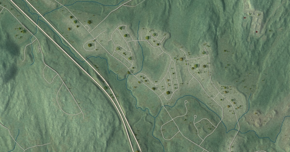
This beautifully detailed map of Auburn, New Hampshire was created in 2026 using aerial imagery combined with modern topographical, census, street and landmark data. It’s a one-of-a-kind view of Auburn that combines accurate data with a vintage aesthetic. The map shows every building in its true location, many of the roads carry their names, and the shaded topographic relief shows the shape of the land.
See it on a wall
The Auburn map as a framed print. Swipe for more.


Explore an aerial view of Auburn, New Hampshire
On the map you’ll find Downtown, Hooks Crossing, Severance, Battery Point, Birch Island, Browns Island, Bunker Hill, Manchester Water Works Land, Nutt Road Land, Manchester-Portsmouth RR Bed, and Manchester Waterworks, along with Candia Road, and more. If you look closely you can even find your house accurately drawn in its correct location. Zoom in on the preview to look for yours.
Did You Know?
Auburn was long part of Chester and went by names such as Chester Woods and Long Meadow. It became its own town in 1845. Like several other places, it took its name from Oliver Goldsmith’s 18th century poem The Deserted Village. The poem opens with the words Sweet Auburn, loveliest village of the plain.
Take a closer look at the Auburn map
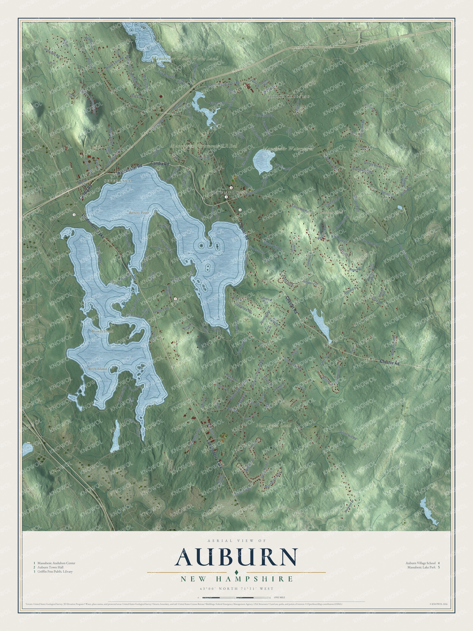
Click to explore a larger preview. The digital watermark does not appear on printed maps.
This beautifully detailed map of Auburn makes an attractive addition to your office, library, or den, and it can even be used to teach children the geography and history of the area. It also makes a great gift for anyone who grew up in Auburn or moved away. When you’re done exploring, click here to get your copy of the Auburn map.