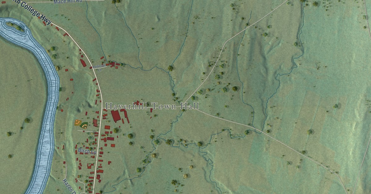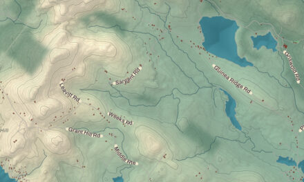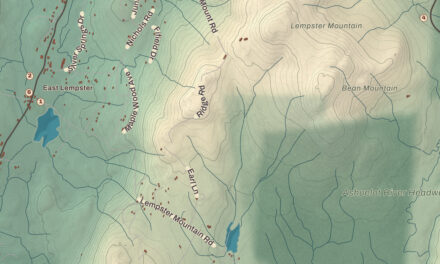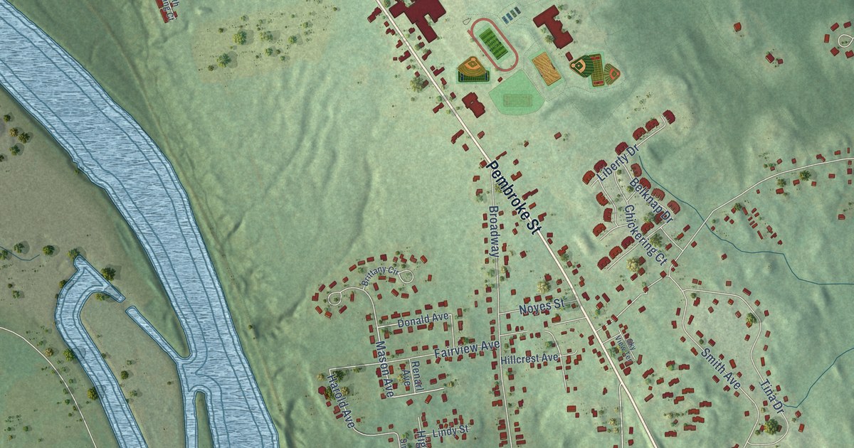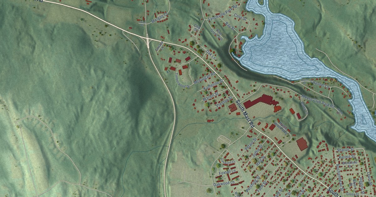
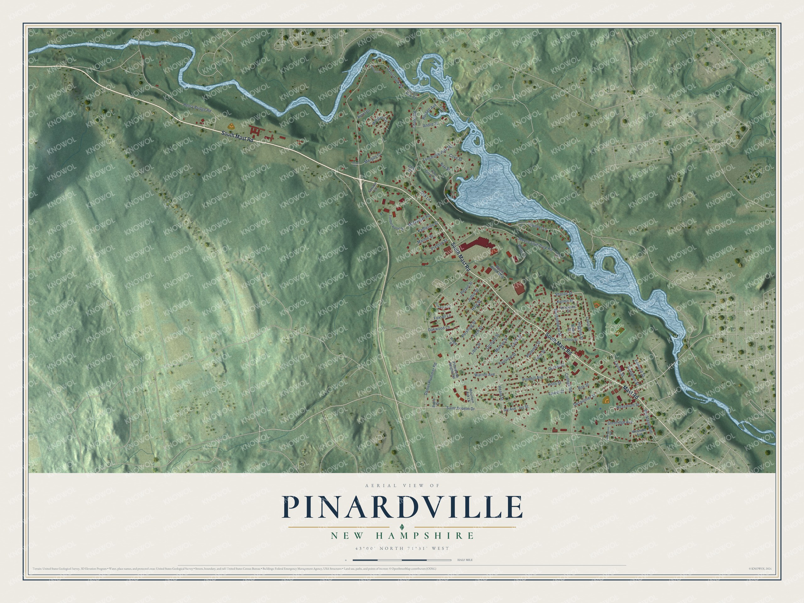
This beautifully detailed map of Pinardville, New Hampshire was created in 2026 using aerial imagery combined with modern topographical, census, street and landmark data. It’s a one-of-a-kind view of Pinardville that combines accurate data with a vintage aesthetic. The map shows every building in its true location, many of the roads carry their names, and the shaded topographic relief shows the shape of the land.
Explore an aerial view of Pinardville, New Hampshire
On the map you’ll find Sarette Fields, along with South Mast Road, Mast Road, Danis Park Road, Sharon Street, Louis Street, Laurier Street, Rochambeau Street, Saint Anselm Drive, Rockland Avenue, Moose Club Park Road, Daniel Plummer Road, and more. Pinardville sits about 4 miles west of Manchester, 5 miles east of Goffstown and 5 miles southwest of South Hooksett. If you look closely you can even find your house accurately drawn in its correct location. Zoom in on the preview to look for yours.
Take a closer look at the Pinardville map
Names on this map
These names are printed on this map.
Places: Sarette Fields.
Streets and roads: South Mast Road, Mast Road, Danis Park Road, Sharon Street, Louis Street, Laurier Street, Rochambeau Street, Saint Anselm Drive, Rockland Avenue, Moose Club Park Road, Daniel Plummer Road, Henry Bridge Road.
More street names, A to Z
Abbey Lane, Albert Street, Andre Street, Aurel Drive, Bay Street, Beaudoin Street, Brookline Street, Channel Lane, Chatel Road, Chip Street, Circle Drive, College Road, Cove Street, Cross Street, Davignon Street, Desaulnier Street, Duclos Street, Dumont Park Road, Eden Street, Edmond Street, Fairview Street, Foch Street, Foxtail Lane, Glenridge Avenue, Haig Street, Heald Street, Higgins Street, Holly Street, Ivy Avenue, Ivy Street, Joffre Street, Katherine Street, Kermit Street, Larch Street, Laurel Street, Libby Street, Lynchville Park Road, Maplewood Avenue, Marion Street, McGuigan Road, Moreau Street, Morgan Circle, Morgan Court, Mountain Ash Lane, Mystic Brook Way, Oak Lane, Oakwood Circle, Oakwood Lane, Olive Drive, Orchard Street, Pershing Street, Petain Street, Pinardville Heights Road, Pine Grove Avenue, Pinehill Avenue, Plummer Street, Preston Street, Ridge Street, Robin Drive, Rosemont Street, Roy Street, Russell Avenue, Shore Drive, Sonny Avenue, Terrace Lane, Timberwood Drive, Warren Avenue, Westside Avenue.
See it on a wall
The Pinardville map as a framed print. Swipe for more.


This beautifully detailed map of Pinardville makes an attractive addition to your office, library, or den, and it can even be used to teach children the geography and history of the area. It also makes a great gift for anyone with Pinardville roots. When you’re done exploring, click here to get your copy of the Pinardville map.