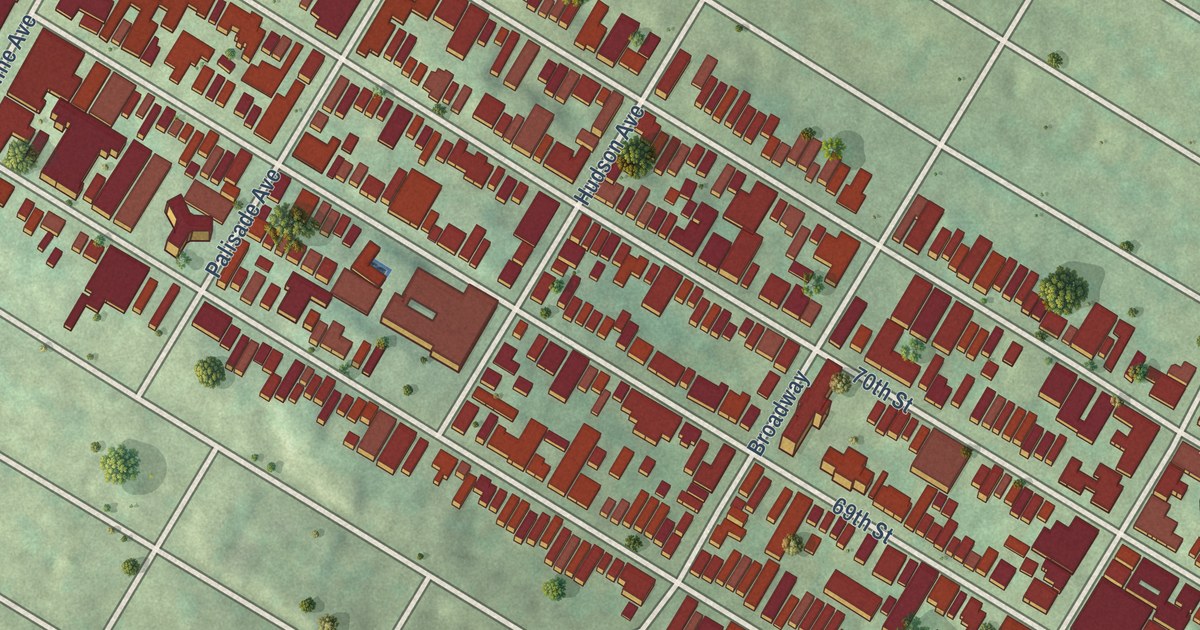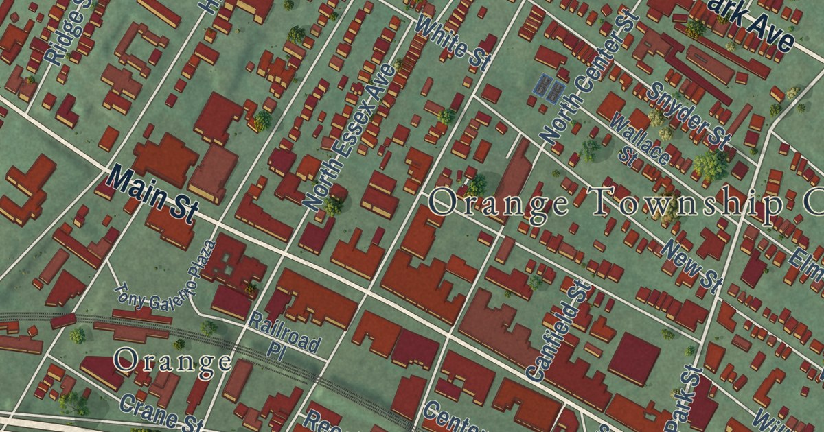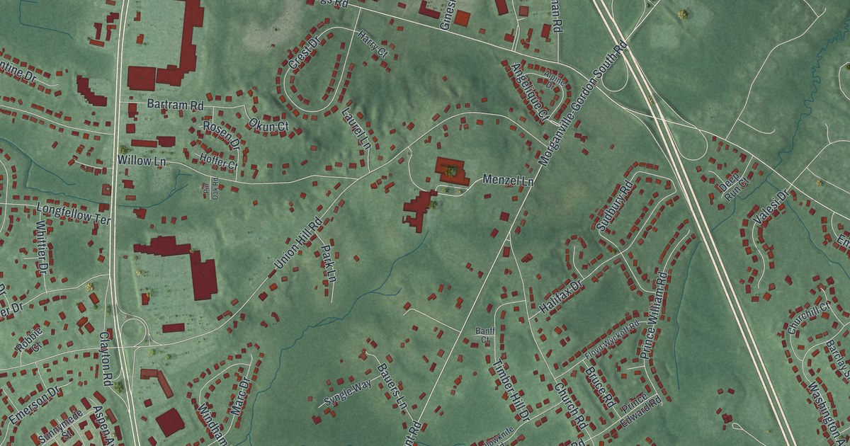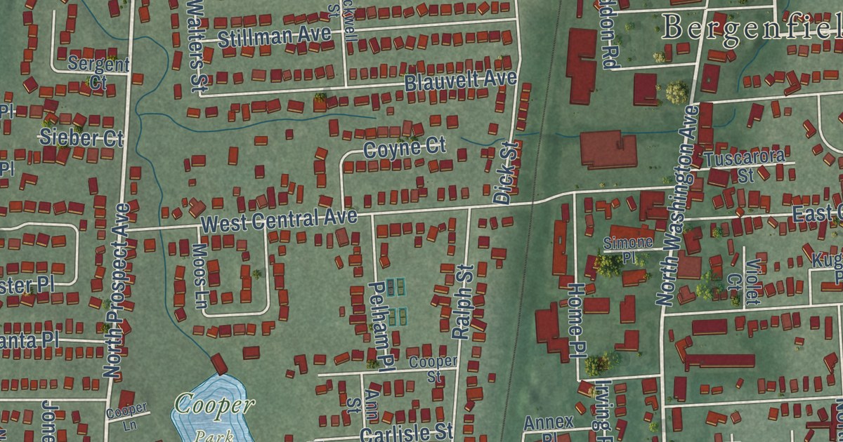
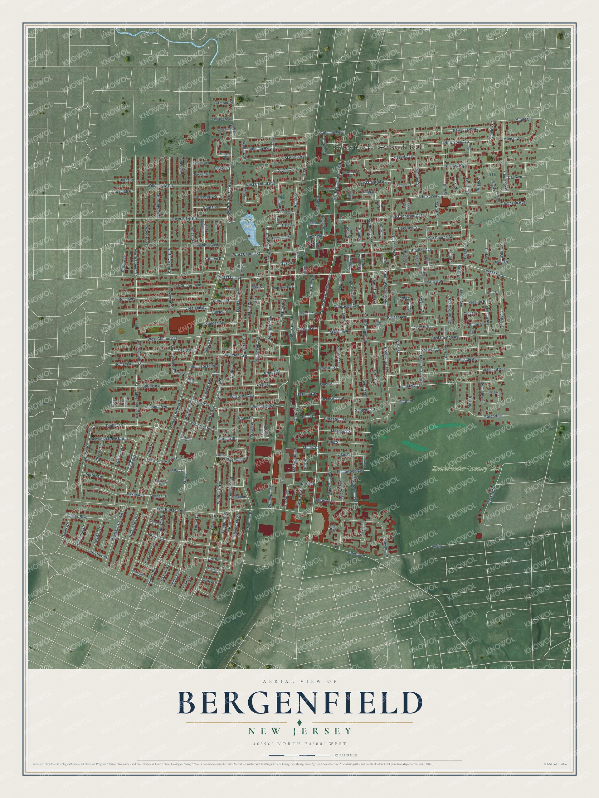
This beautifully detailed map of Bergenfield, New Jersey was created in 2026 using aerial imagery combined with modern topographical, census, street and landmark data. It’s a one-of-a-kind view of Bergenfield that combines accurate data with a vintage aesthetic. The map shows every building in its true location, many of the roads carry their names, and the shaded topographic relief shows the shape of the land.
Explore an aerial view of Bergenfield, New Jersey
On the map you’ll find Bergenfield Borough Hall, Cooper Park, Hickory Park, and Knickerbocker Country Club, along with South Washington Avenue, West Main Street, East Main Street, North Prospect Avenue, North Washington Avenue, New York Avenue, Dudley Drive, Shelley Court, and more. If you look closely you can even find your house accurately drawn in its correct location. Zoom in on the preview to look for yours.
Did You Know?
In 1954, scenes for the Harlem Globetrotters film Go, Man, Go! were shot at Franklin School in Bergenfield. Dane Clark played team founder Abe Saperstein, and Patricia Breslin played his wife. Many fifth grade boys from the school appeared in the film as extras.
Take a closer look at the Bergenfield map
Names on this map
These names are printed on this map.
Places: Bergenfield Borough Hall, Cooper Park and Knickerbocker Country Club.
Streets and roads: South Washington Avenue, West Main Street, East Main Street, North Prospect Avenue, North Washington Avenue, New York Avenue, Dudley Drive, Glenwood Drive North, Shelley Court, Brey Lane, South Prospect Avenue, New Bridge Road.
More street names, A to Z
Addison Road, Addon Road, Alice Place, Ames Avenue, Anderson Avenue, Annex Place, Ann Street, Arlington Avenue, Armour Place, Avon Court, Baker Avenue, Banta Place, Barry Place, Bedford Avenue, Beechwood Street, Bell Place, Bergen Avenue, Berwyn Place, Beucler Place, Beulah Place, Beverly Place, Birch Avenue, Blackwell Street, Blauvelt Avenue, Bogert Place, Bradley Avenue, Brewster Place, Briarcliffe Road, Bridge Street, Briggs Court, Broad Street, Brook Street, Brookview Terrace, Brown Place, Bush Street, Byrne Place, Cameron Drive, Cameron Road, Campeau Place, Carlisle Street, Carlson Place, Carnation Street, Carol Lane, Cedar Street, Cherry Street, Chestnut Street, Chovet Terrace, Christie Street, Cleveland Street, Clinton Court, Clinton Park Drive, Clover Street, Clyde Court, Coleman Street, Cole Street, Columbia Avenue, Cooper Lane, Cooper Street, Coyne Court, Dalton Place, Davis Drive, Day Avenue, Deerfield Street, Delford Avenue, Demarest Avenue, Demott Avenue, Dick Street, Dover Court, East Broad Street, East Central Avenue, East Church Street, East Clinton Avenue, East Johnson Avenue, Edward Street, Elder Avenue, Ella Court, Elm Street, Englewood Avenue, Esser Place, Fahrner Street, Fairview Avenue, Ford Court, Foster Street, Fourth Street, Fox Place, Franklin Avenue, Frederick Place, Gallagher Court, Galvan Place, Garden Street, Georgian Court, Glenwood Drive East, Gordon Road, Graphic Boulevard, Greenbriar Street, Greenwich Drive, Greenwich Street, Grove Street, Hallberg Avenue, Hampton Court, Harcourt Avenue, Haring Street, Harriet Avenue, Harrington Street, Haven Avenue, Henry Street, Hickory Avenue, Highgate Terrace, Highland Avenue, Highview Avenue, Hill Place, Hillside Avenue, Home Place, Homestead Place, Howard Drive, Huber Place, Hudson Street, Hughes Road, Hunt Walk, Irving Place, Ivy Lane, Jagoe Street, James Street, John Place, Johnson Avenue, Jones Place, Judith Place, Kathryn Place, Kuggas Place, Lake Street, Laurel Court, Lee Place, Legion Drive, Levitt Avenue, Liberty Road, Lilac Street, Lincoln Avenue, Linden Place, Linwood Street, Lodge Terrace, Luke Avenue, Lunn Avenue, Mackay Drive, Madison Avenue, Magnolia Street, Maiden Lane, Malden Court, Manning Place, Maple Street, Marcotte Lane, Martin Street, McDermott Place, McGrath Lane, Melrose Avenue, Merritt Avenue, Meyns Place, Miller Street, Minko Place, Momar Drive, Moos Lane, Morgan Street, Murray Hill Terrace, New Jersey Avenue, Norfolk Street, North Christie Street, North Demarest Avenue, North First Street, North Franklin Avenue, North Front Street, North Queen Street, North Stoughton Street, North Street, North Summit Street, North Taylor Street, North Vivyen Street, North Williams Street, North Woodside Avenue, Oak Place, Oneil Street, Orchard Road, Orchard Street, Palisades Avenue, Park Road, Paula Drive, Pelham Place, Phelps Avenue, Pine Drive, Pleasant Avenue, Porter Avenue, Portland Avenue, Preston Place, Prospect Avenue, Quincy Lane, Ralph Street, Raum Place, Rector Court, Redwood Street, Regent Street, Reid Avenue, River Edge Road, Roosevelt Avenue, Row, Schoolcraft Road, School Street, Scott Drive, Second Street, Seminary Court, Seminary Street, Sergent Court, Short Street, Sieber Court, Simone Place, Simpson Court, Smith Avenue, Somers Avenue, South Christie Street, South First Street, South Front Street, South Paula Drive, South Queen Street, South Summit Street, South Taylor Street, South Vivyen Street, South Williams Street, South Woodside Avenue, Spring Avenue, Stillman Avenue, Sugden Street, Sunrise Terrace, Sunset Place, Surrey Lane, Sussex Road, Sylvamdur Avenue, Sylvan Avenue, Terhune Street, Terrace Street, Thames Boulevard, Third Street, Trinity Court, Tulip Street, Turnure Street, Tuscarora Street, Twinboro Lane, Tyson Place, Van Houten Street, Van Valkenburgh Avenue, Veterans Plaza, View Street, Violet Court, Vivyen Street, Vreeland Avenue, Walters Street, Warren Street, West Broad Street, West Central Avenue, West Church Street, West Clinton Avenue, Westminster Avenue, Westside Avenue, Westview Drive, Whitman Street, Whittaker Place, Wilbur Road, Wildrose Avenue, Willet Street, Williamson Road, Willow Street, Windsor Road, Woodbine Street, Woods Avenue, Zuegel Court.
See it on a wall
The Bergenfield map as an 18 x 24 inch print in a black frame.

This beautifully detailed map of Bergenfield makes an attractive addition to your office, library, or den, and it can even be used to teach children the geography and history of the area. It also makes a great gift for anyone with Bergenfield roots. When you’re done exploring, click here to get your copy of the Bergenfield map.