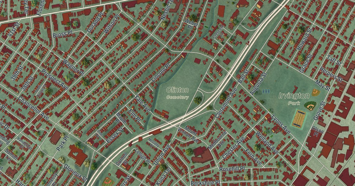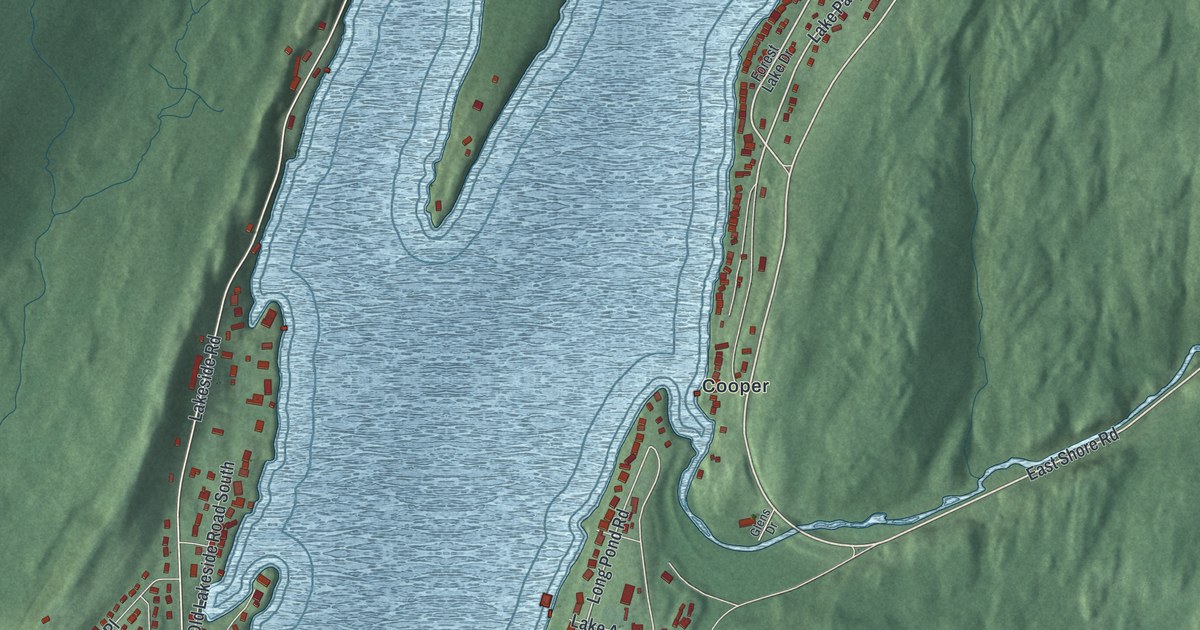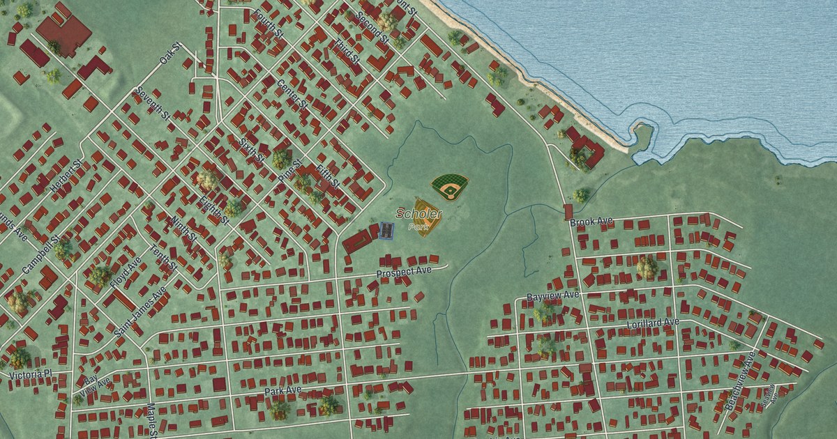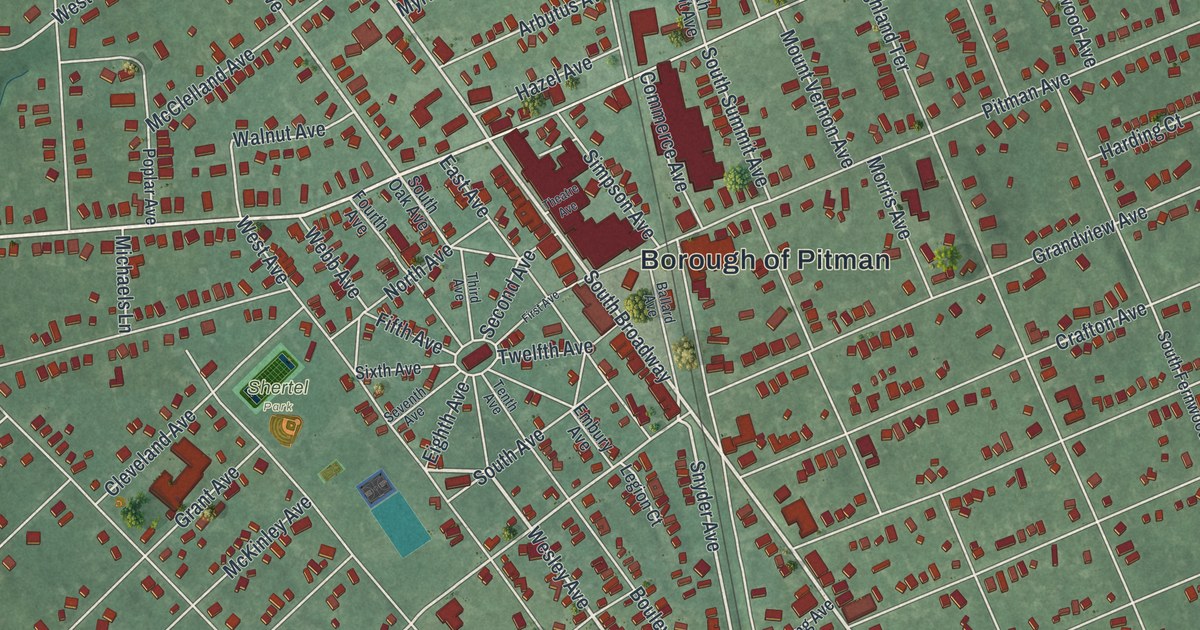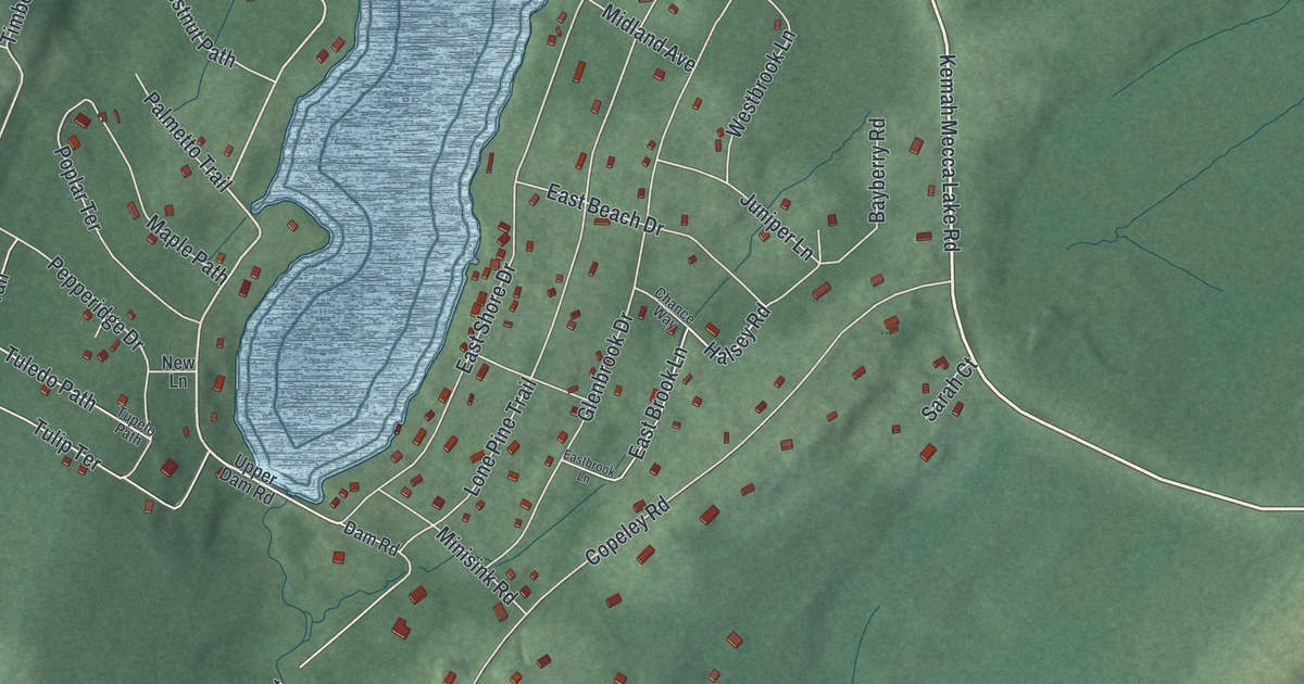
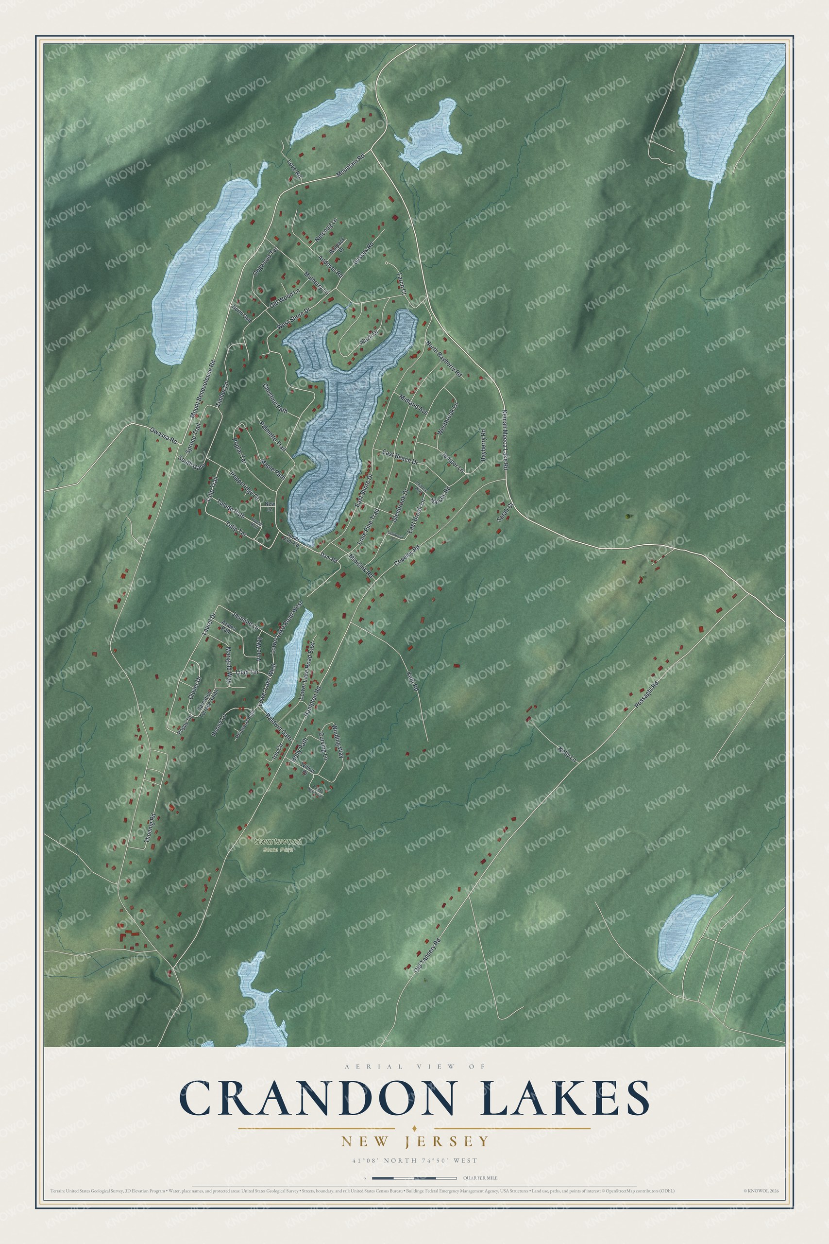
This beautifully detailed map of Crandon Lakes, New Jersey was created in 2026 using aerial imagery combined with modern topographical, census, street and landmark data. It's a modern aerial view of Crandon Lakes in Sussex County, New Jersey, that combines modern data with a vintage aesthetic. The roads feature printed names, and if you look closely you can find your exact house accurately shown in its correct location.
Explore an aerial view of Crandon Lakes, New Jersey
On this map you'll find Swartswood State Park, Kemah Mecca Lake Road, Possaghi Road, Mountain Road, West Shore Drive, Halsey Road, Hampton Road, Laurel Drive, Thoenig Road, Mount Benevolence Road, Copeley Road, East Shore Drive, and more. Each red shape is a building, so zoom in on the preview and look for yours.
Crandon Lakes is a community in Sussex County. The Census Bureau counted 1,120 people here in 2020. Crandon Lakes sits about 5 miles west of Branchville, 7 miles west of Ross Corner and 7 miles south of Layton. The map prints the town name in its title panel, with the coordinates below it.
Take a closer look at the Crandon Lakes map
Names on this map
These names are printed on this map.
Places: Swartswood State Park.
Streets and roads: Kemah Mecca Lake Road, Possaghi Road, Mountain Road, West Shore Drive, Halsey Road, Hampton Road, Laurel Drive, Thoenig Road, Mount Benevolence Road, Copeley Road, East Shore Drive, Lone Pine Trail.
More street names, A to Z
Andover Road, Azalea Path, Baldwin Gate, Bayberry Road, Carnation Terrace South, Chance Way, Cherry Wood Trail, Chestnut Path, Clover Drive, Curving Lane, Dam Road, Dogwood Terrace, East Beach Drive, East Brook Lane, Eastbrook Lane, Glenbrook Drive, Holly Path, Iris Circle, Jasmine Lane, Juniper Lane, Kelly Lane, Kent Road, Larch Court, Lilac Terrace, Love Road, Lower Lake Road East, Lower Lake Road West, Lower Lake West, Maple Path, Marigold Way, Midland Avenue, Minisink Road, Mulberry Lane, Netcong Lane, New Lane, North Bayberry Road, North Gate, Old Tannery Road, Old Wood Lane, Owassa Road, Palmetto Trail, Peony Lane, Pepperidge Drive, Plaza Drive, Poplar Terrace, Poppy Terrace, Primrose Path, Sarah Court, South Gate, Spruce Trail, Sussex Road, Timber Lane, Tuledo Path, Tulip Terrace, Tulip Trail, Tupelo Path, Upper Dam Road, Vine Way, Walpack Drive, Westbrook Lane, Willow Drive, Winding Way.
See it on a wall
The Crandon Lakes map as a framed print. Swipe for more.


Created by KNOWOL in 2026. The buildings are small red shapes, the roads carry their printed names, and shaded relief shows the shape of the land. The title panel reads "AERIAL VIEW OF CRANDON LAKES, NEW JERSEY" with 41°08' NORTH 74°50' WEST.
It suits a den, a classroom or a front hall, and it makes a gift for anyone with Crandon Lakes roots. Open the preview and find the block you know. See sizes and frames for the Crandon Lakes map.