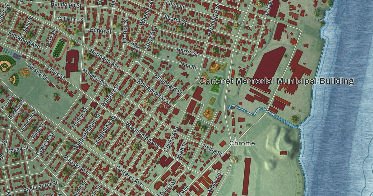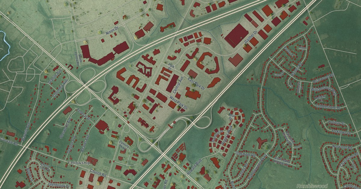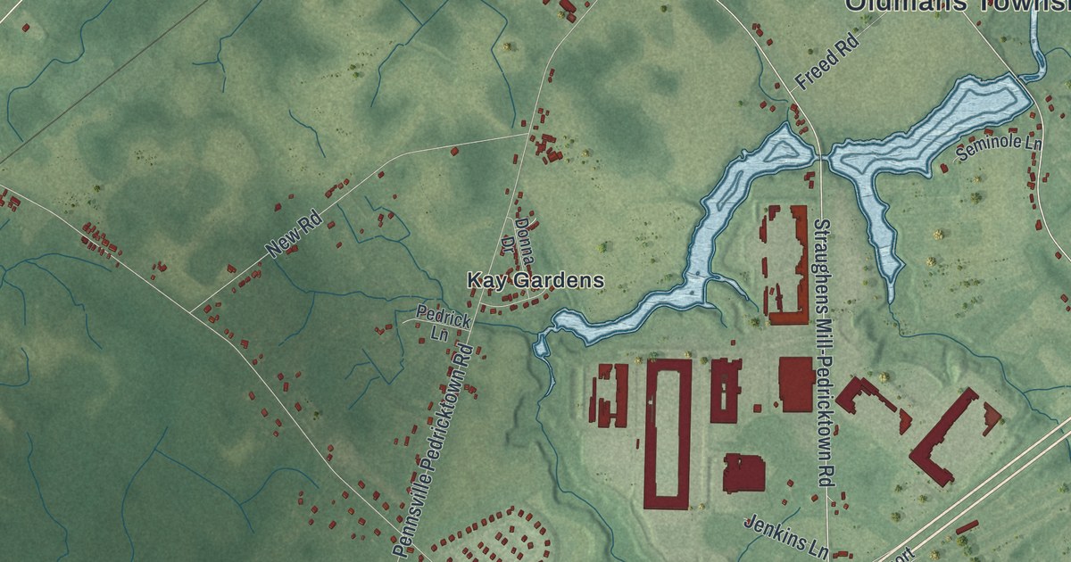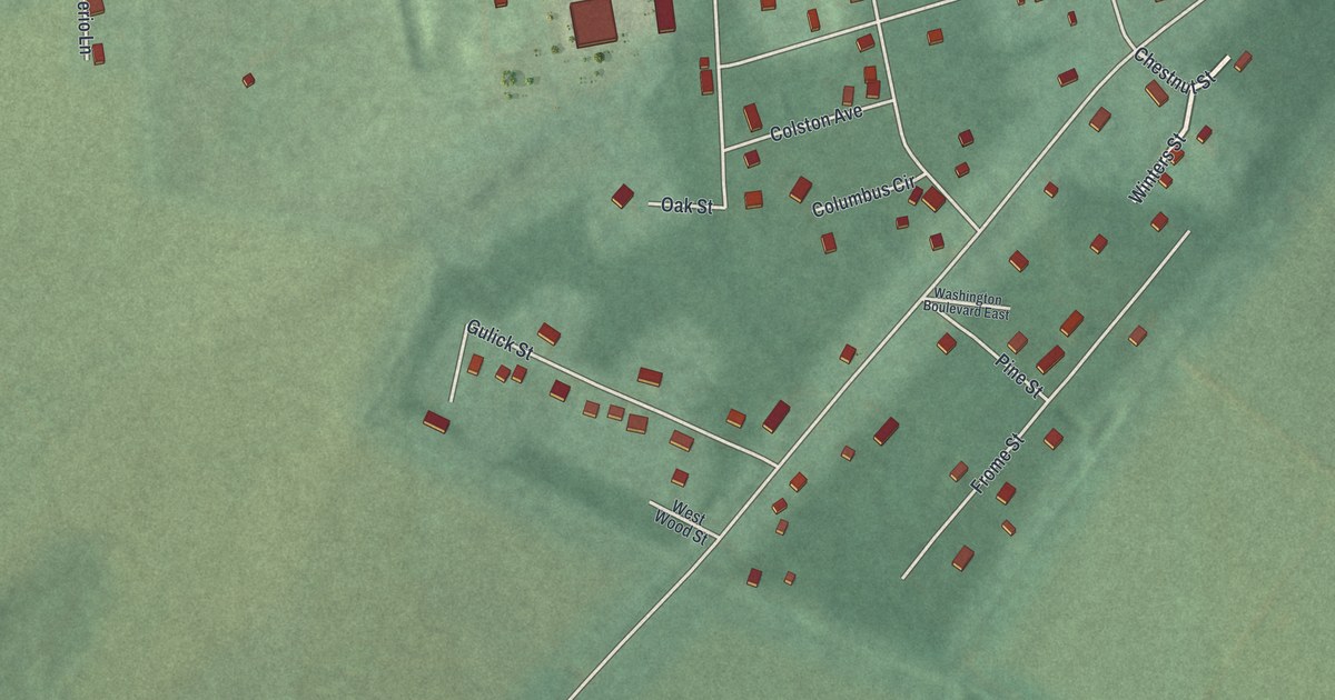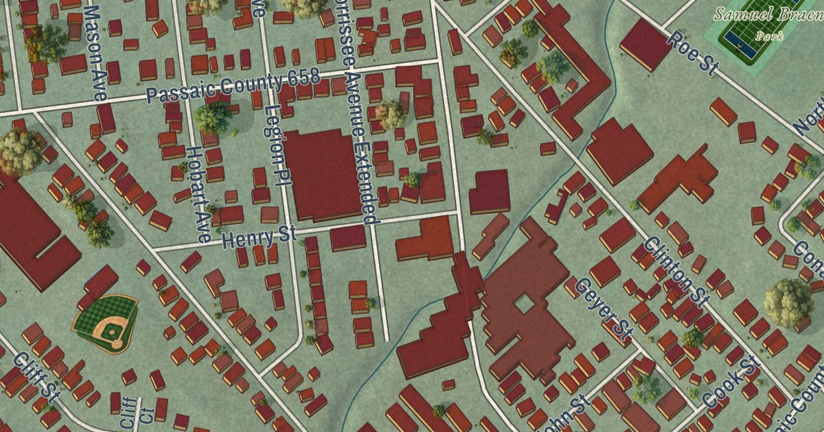
This beautifully detailed map of Haledon, New Jersey was created in 2026 using aerial imagery combined with modern topographical, census, street and landmark data. It’s a one-of-a-kind view of Haledon that combines accurate data with a vintage aesthetic. The map shows every building in its true location, many of the roads carry their names, and the shaded topographic relief shows the shape of the land.
Explore an aerial view of Haledon, New Jersey
On the map you’ll find Samuel Braen Park, Passaic County 673, and Passaic County 675, along with Central Avenue, Haledon Avenue, West Haledon Avenue, Circle Avenue, Mountain Avenue, Pompton Road, Belmont Avenue, Valley View Road, Burhans Avenue, and more. If you look closely you can even find your house accurately drawn in its correct location. Zoom in on the preview to look for yours.
Did You Know?
Haledon silk workers elected Socialist William Bruekmann mayor in 1912. During the 1913 Paterson silk strike, Paterson banned worker meetings. Haledon’s mayor invited the strikers to meet in his town. Thousands gathered at the Botto House to hear Big Bill Haywood and Elizabeth Gurley Flynn. The house is now a National Historic Landmark.
Take a closer look at the Haledon map
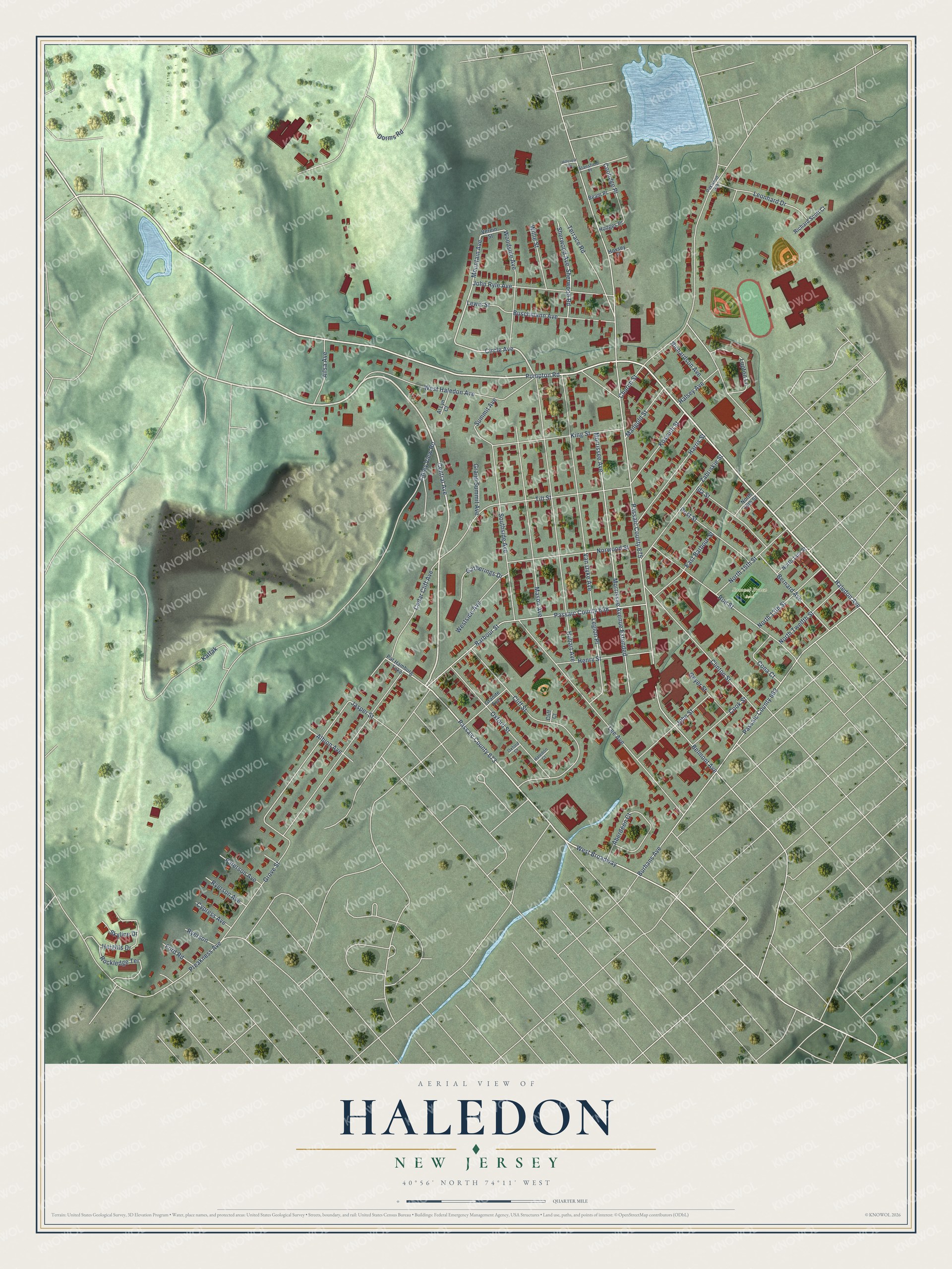
Names on this map
These names are printed on this map.
Places: Samuel Braen Park.
Streets and roads: Central Avenue, Haledon Avenue, West Haledon Avenue, Circle Avenue, Passaic County 673, Mountain Avenue, Pompton Road, Belmont Avenue, Passaic County 675, Valley View Road, Burhans Avenue, Passaic County 662.
More street names, A to Z
Aberdeen Court, Ailsa Avenue, Albion Avenue, Al Lyn Court, Barbour Street, Beam Place, Bernard Avenue, Buschmann Avenue, Cedar Cliff Avenue, Church Street, Cliff Court, Cliff Street, Clinton Street, Cona Court, Cook Street, Coolidge Place, Cypress Avenue, Dorms Road, East Barbour Street, Ford Road, Gatherings Drive, Geyer Street, Grand Summit Avenue, Granite Avenue, Grove Street, Haledon Court, Halsey Avenue, Harris Street, Heights Drive, Henry Street, Hillcrest Drive, Hobart Avenue, Hodges Place, Hoxsey Place, Ida Street, Jasper Street, John Ryle Avenue, John Street, Kattak, King Street, Kossuth Street, Lee Avenue, Legion Place, Leonhard Drive, Lewis Street, Lupton Lane, Mangold Street, Mason Avenue, Morrissee Avenue, Morrissee Avenue Extended, North 13th Street, North 14th Street, North 15th Street, North 16th Street, North Twelfth Street, Norwood Street, Oakwood Avenue, Oxford Court, Oxford Street, Passaic County 658, Paterson Avenue, Pat Hamburg Turnpike, Post Street, Preakness Avenue, Richard Scott Court, Richardson Avenue, Rockledge Terrace, Roe Street, Ryerson, Ryerson Avenue, Sherwood Avenue, Sherwood Road, Skyline Drive, Southside Avenue, Stansfield Place, Summit Avenue, Terrace Road, Tilt Street, Van Dyke Avenue, Verein Street, West Broadway, Westside Avenue, Willie Street, Woodside Avenue, Zabriskie Street.
See it on a wall
The Haledon map as an 18 x 24 inch print in a black frame.

This beautifully detailed map of Haledon makes an attractive addition to your office, library, or den, and it can even be used to teach children the geography and history of the area. It also makes a great gift for someone who left Haledon and still calls it home. When you’re done exploring, click here to get your copy of the Haledon map.