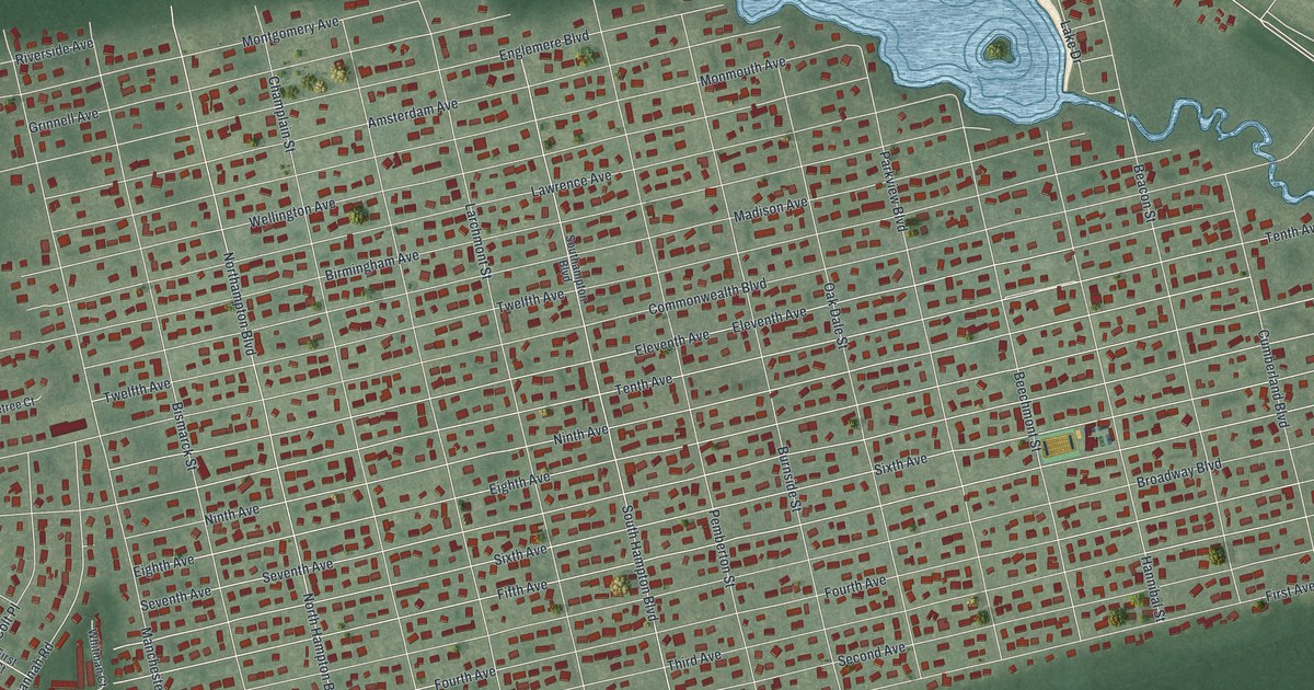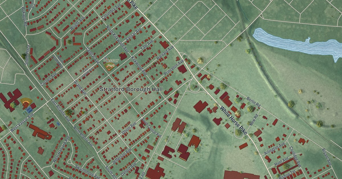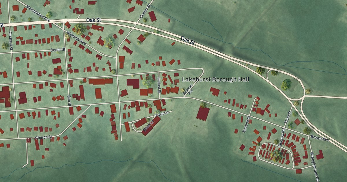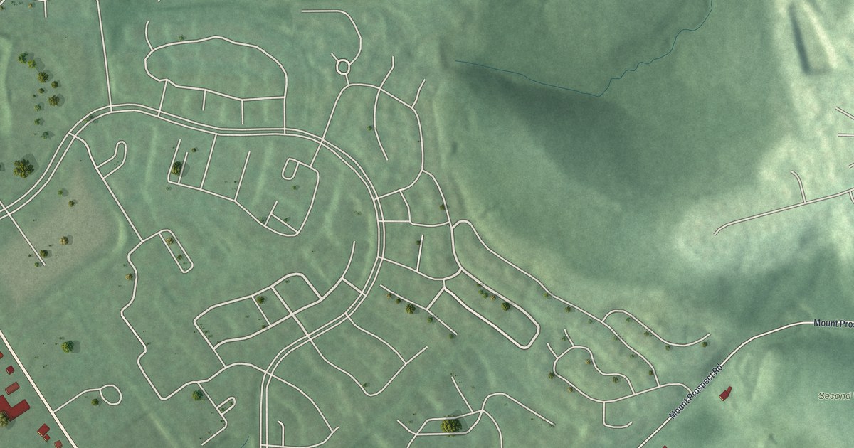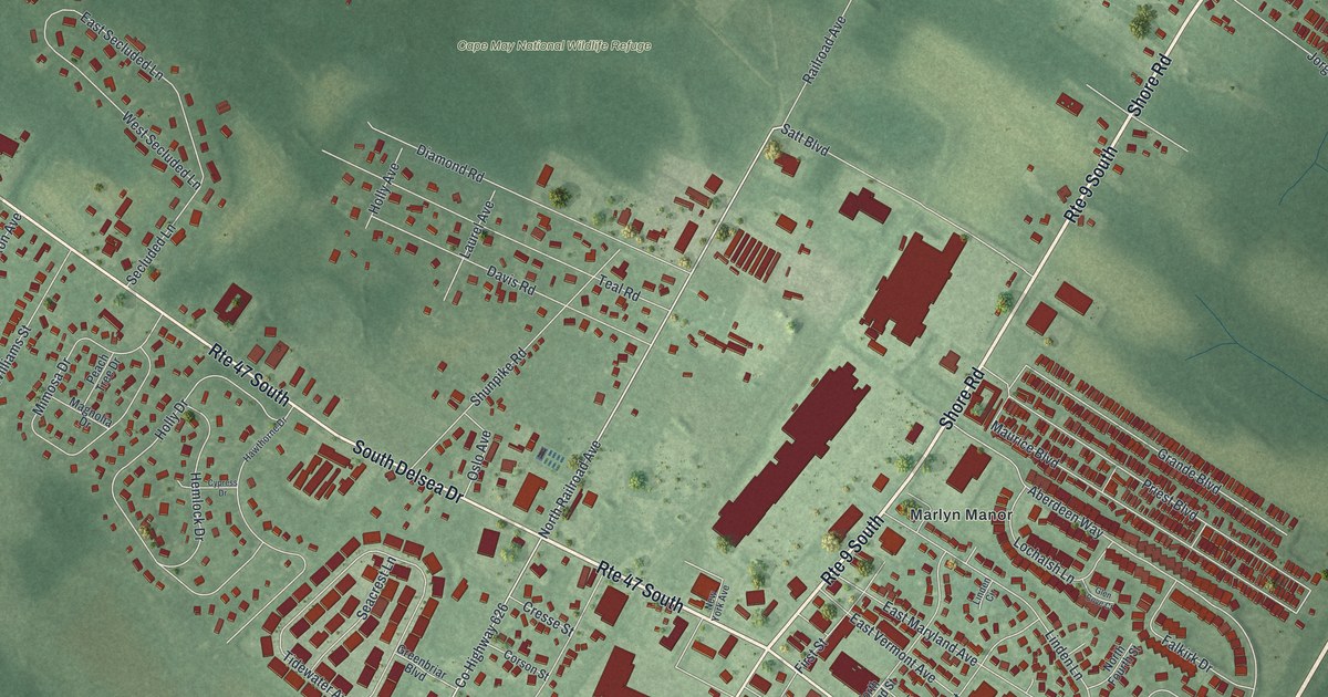
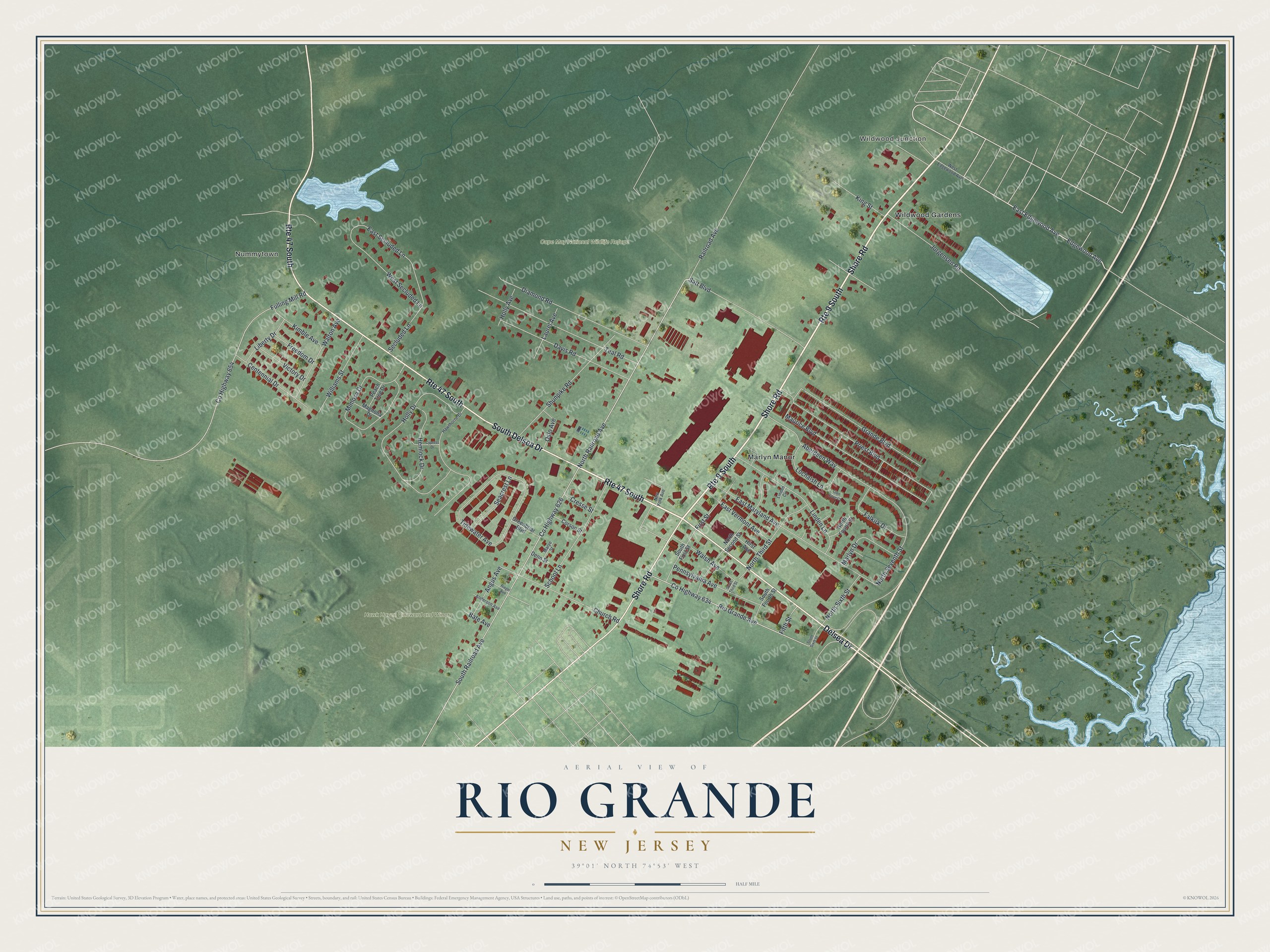
This beautifully detailed map of Rio Grande, New Jersey was created in 2026 using aerial imagery combined with modern topographical, census, street and landmark data. It's a modern aerial view of Rio Grande in Cape May County, New Jersey, that combines modern data with a vintage aesthetic. The roads feature printed names, and if you look closely you can find your exact house accurately shown in its correct location.
Explore an aerial view of Rio Grande, New Jersey
On this map you'll find Wildwood Junction, Nummytown, Cape May National Wildlife Refuge, Hawk Haven Vineward and Winery, Marlyn Manor, Wildwood Gardens, South Delsea Drive, Shore Road, Delsea Drive, East Edgewood Avenue, North Railroad Avenue, Edgewood Avenue, and more. Each red shape is a building, so zoom in on the preview and look for yours.
Rio Grande is a community in Cape May County. The Census Bureau counted 3,610 people here in 2020. Rio Grande sits about 2 miles northeast of Erma, 2 miles south of Whitesboro and 3 miles southwest of Burleigh. The map prints the town name in its title panel, with the coordinates below it.
Take a closer look at the Rio Grande map
Names on this map
These names are printed on this map.
Places: Wildwood Junction, Nummytown, Cape May National Wildlife Refuge, Hawk Haven Vineward and Winery, Marlyn Manor and Wildwood Gardens.
Streets and roads: Route 9 South, Route 47 South, South Delsea Drive, Shore Road, Delsea Drive, East Edgewood Avenue, North Railroad Avenue, Edgewood Avenue, South Railroad Avenue, County Highway 634, Rio Grande Avenue, North Seventh Street.
More street names, A to Z
Aberdeen Way, Anderson Avenue, Angus Avenue, Bate Avenue, Centennial Drive, Church Road, Corson Street, County Highway 626, County Highway 654, Cresse Street, Cypress Drive, Davis Road, Denn Street, Diamond Road, East Maryland Avenue, East Secluded Lane, East Vermont Avenue, Falkirk Drive, Fifth Street, First Street, Freedom Drive, Fulling Mill Road, Glen Cove Court, Grande Boulevard, Greenbriar Boulevard, Hawthorne Drive, Hemlock Drive, Hirst Avenue, Holly Avenue, Holly Drive, Jorgensen Road, Kimble Avenue, King Street, Laurel Avenue, Liberty Drive, Linden Circle, Linden Lane, Lochalsh Lane, Magnolia Drive, Marlyn Drive, Marye Street, Maurice Boulevard, Mimosa Drive, New York Avenue, North Fourth Street, North Second Street, North Sixth Street, North Third Street, Oslo Avenue, Peach Tree Drive, Pennsylvania Avenue, Priest Boulevard, Railroad Avenue, Riegel Avenue, Satt Boulevard, School Lane, Seacrest Lane, Secluded Lane, Shunpike Road, South First Street, South Fourth Street, South Sixth Street, South Third Street, Teal Road, Tidewater Avenue, Victory Drive, Walsh Avenue, Walton Avenue, West Edgewood Avenue, West Secluded Lane, Williams Street.
See it on a wall
The Rio Grande map as a framed print. Swipe for more.


Created by KNOWOL in 2026. The buildings are small red shapes, the roads carry their printed names, and shaded relief shows the shape of the land. The title panel reads "AERIAL VIEW OF RIO GRANDE, NEW JERSEY" with 39°01' NORTH 74°53' WEST.
It suits a den, a classroom or a front hall, and it makes a gift for anyone with Rio Grande roots. Open the preview and find the block you know. See sizes and frames for the Rio Grande map.