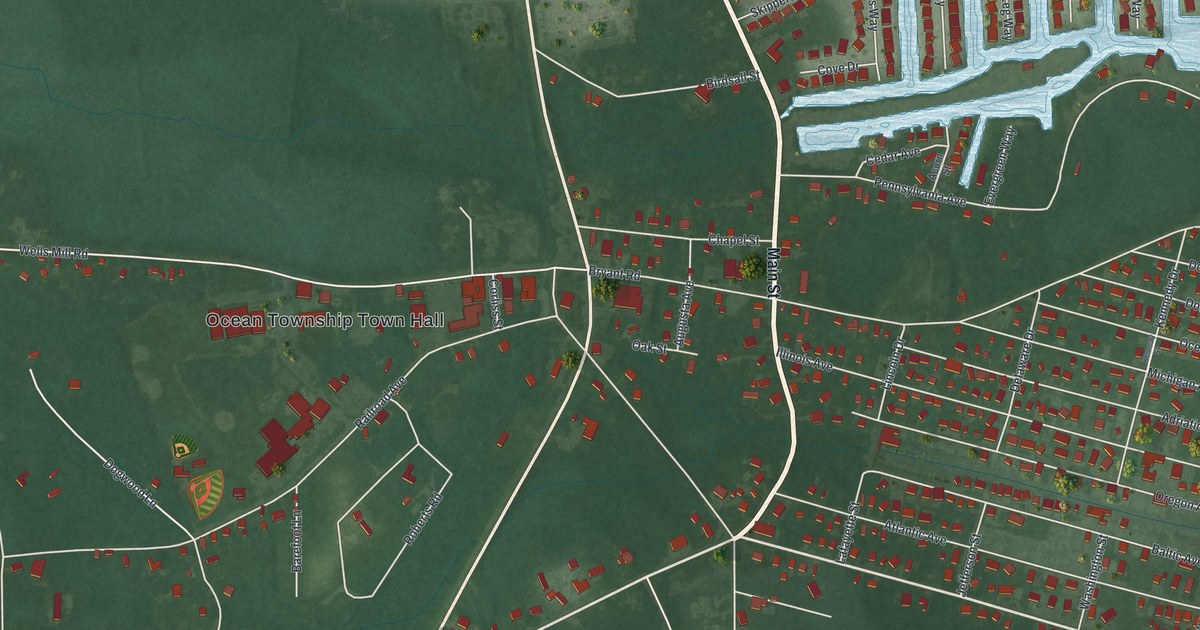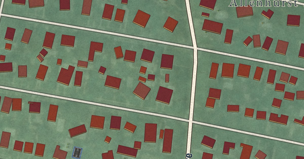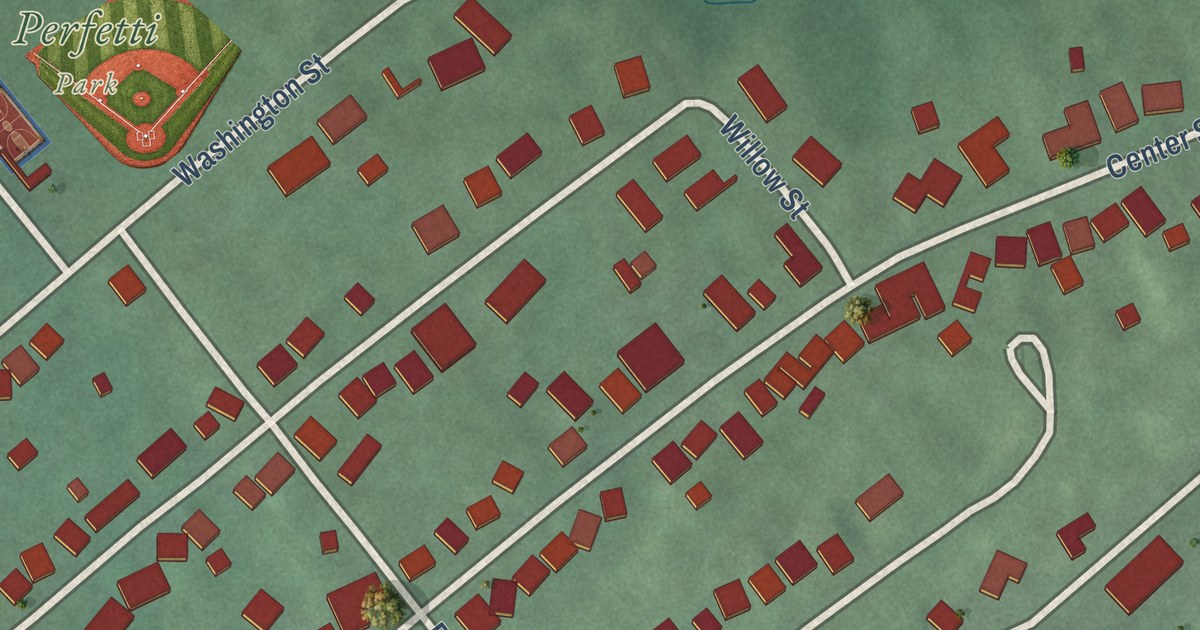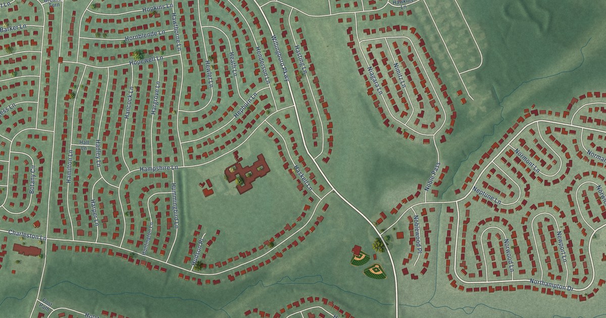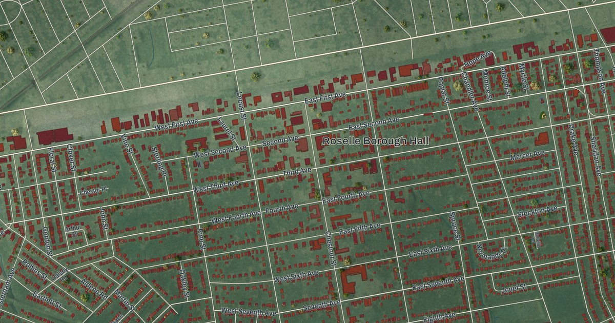
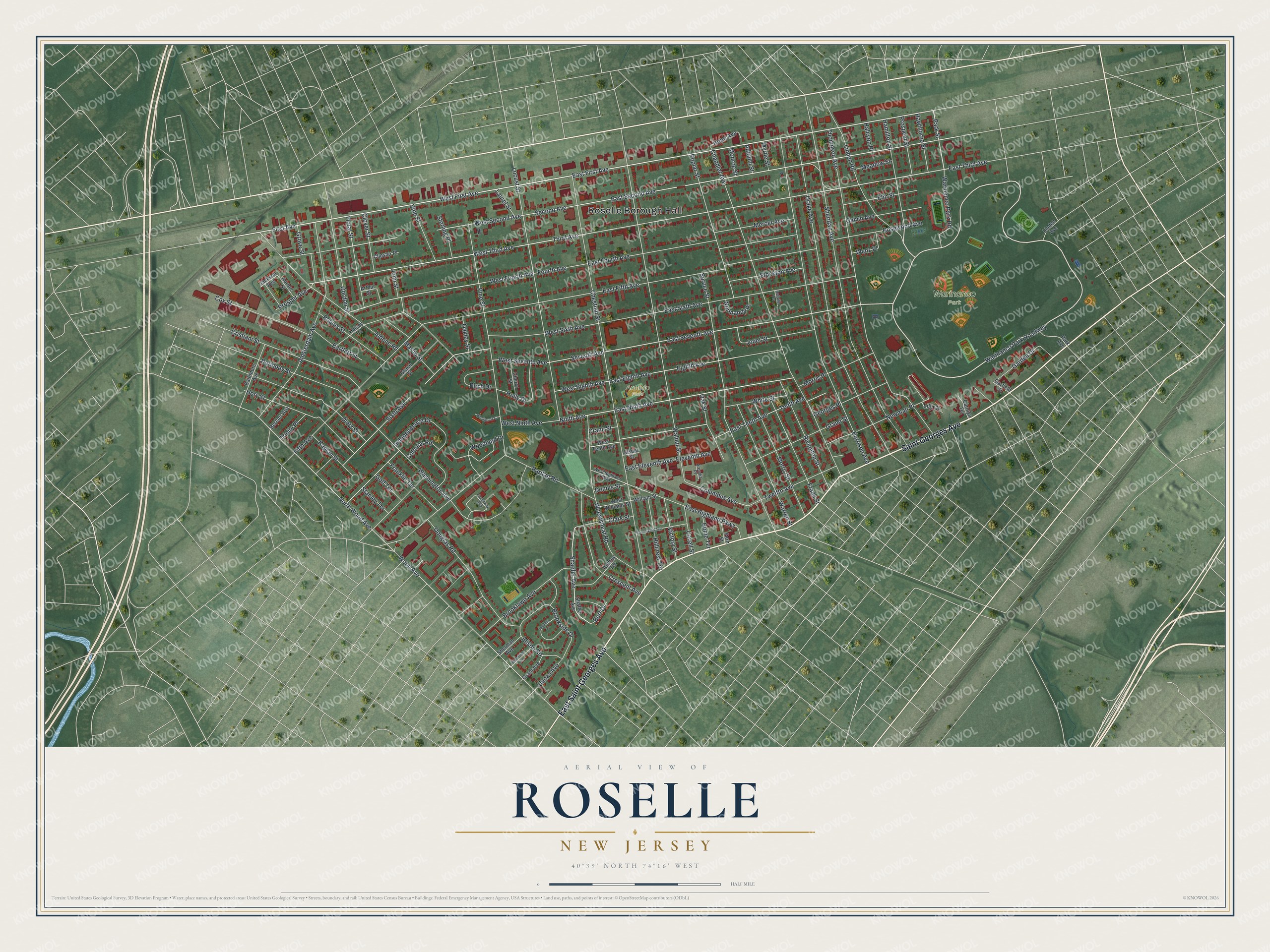
This beautifully detailed map of Roselle, New Jersey was created in 2026 using aerial imagery combined with modern topographical, census, street and landmark data. It’s a one-of-a-kind view of Roselle that combines accurate data with a vintage aesthetic. The map shows every building in its true location, many of the roads carry their names, and the shaded topographic relief shows the shape of the land.
Explore an aerial view of Roselle, New Jersey
On the map you’ll find Roselle Borough Hall, Warinanco Park Roadway, and Warinanco Park, along with Saint Georges Avenue, First Avenue, Park Street, and more. If you look closely you can even find your house accurately drawn in its correct location. Zoom in on the preview to look for yours.
Did You Know?
Thomas Edison once ran a laboratory in Roselle and set up an electric lighting plant there. Roselle became the first community in the world to light its streets with incandescent bulbs. In 1939, the Presbyterian church chapel still held the first electric chandelier Edison made. That’s from the 1939 WPA guide to New Jersey.
Take a closer look at the Roselle map
Names on this map
These names are printed on this map.
Places: Roselle Borough Hall, Warinanco Park and Arminio Field.
Streets and roads: East Saint Georges Avenue, Saint Georges Avenue, East First Avenue, West First Avenue, Park Street, Warinanco Park Roadway, East Third Avenue, East Seventh Avenue, East Second Avenue, Third Avenue, First Avenue, Ninth Avenue.
More street names, A to Z
Adelphi Street, Aldene Road, Alison Road, Amsterdam Avenue, Areadia Place, Arthur Street, Audrey Terrace, Aurore Street, Baltimore Avenue, Bartlett Street, Berlant Avenue, Birch Drive, Bonna Villa Avenue, Brooklawn Avenue, Brookside Drive, Burt Drive, Carolyn Terrace, Cavell Street, Chandler Avenue, Cherry Street, Chester Place, Chestnut Street, Clark Street, Clover Street, Colonial Road, Columbus Avenue, Cox Street, Crane Street, Crescent Avenue, Cristiani Street, Dennis Street, Dermody Street, Dietz Street, Douglas Road, Drake Avenue, East Eighth Avenue, East Eleventh Avenue, East Fifth Avenue, East Fourth Avenue, East Highland Parkway, East Ninth Avenue, East Sixth Avenue, East Tenth Avenue, Eighth Avenue, Eleventh Avenue, Elm Street, Fern Street, Fifth Avenue, Floral Street, Fourth Avenue, Franklin Terrace, Frank Street, Galvin Avenue, Garden Drive, Garfield Street, Georges Place, Golf Terrace, Gordon Street, Grace Street, Grand Street, Grant Avenue, Greenway Boulevard, Grove Street, Halcyon Place, Halsey Road, Hamilton Street, Harrison Avenue, Hawthorne Street, Heather Lane, Hillcrest Terrace, Holly Drive, Home Terrace, Hope Avenue, Hory Street, Independence Drive, Jackson Avenue, Jasper Street, John Street, Jouet Street, Kaplan Street, Laurel Street, Lily Court, Linden Avenue, Linden Road, Locust Street, Martin Street, Meadow Street, Mellville Terrace, Mercer Avenue, Monroe Street, Morris Place, Morris Street, Myrtle Street, Newman Place, Normandy Place, North Wood Avenue, Oakley Street, Oak Street, Park Avenue, Pine Street, Poplar Street, Prospect Street, Prosper Avenue, Raritan Road, Rivington Street, Robins Street, Rosewood Avenue, Second Avenue, Seventh Avenue, Shaefer Avenue, Shaffer Avenue, Sheridan Avenue, Sherman Avenue, Sixth Avenue, Spruce Street, Stanley Terrace, Sterling Place, Stockton Avenue, Tenth Avenue, Thompson Avenue, Trinity Place, Twelfth Avenue, Uncas Avenue, Victory Street, Vine Street, Walnut Street, Warinanco Park Road, Warren Street, Washington Avenue, Wenz Place, Westbrook Court, West Eighth Avenue, West Fourth Avenue, West Highland Parkway, West Ninth Avenue, West Second Avenue, West Seventh Avenue, West Sixth Avenue, West Tenth Avenue, West Third Avenue, West Williams Street, Wheatsheaf Road, White Street, William Street, Wood Avenue, Woodland Drive, Woodside Avenue.
See it on a wall
The Roselle map as an 18 x 24 inch print in a black frame.

This beautifully detailed map of Roselle makes an attractive addition to your office, library, or den, and it can even be used to teach children the geography and history of the area. It also makes a great gift for anyone who grew up in Roselle or moved away. When you’re done exploring, click here to get your copy of the Roselle map.