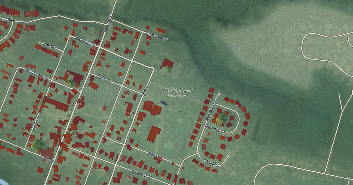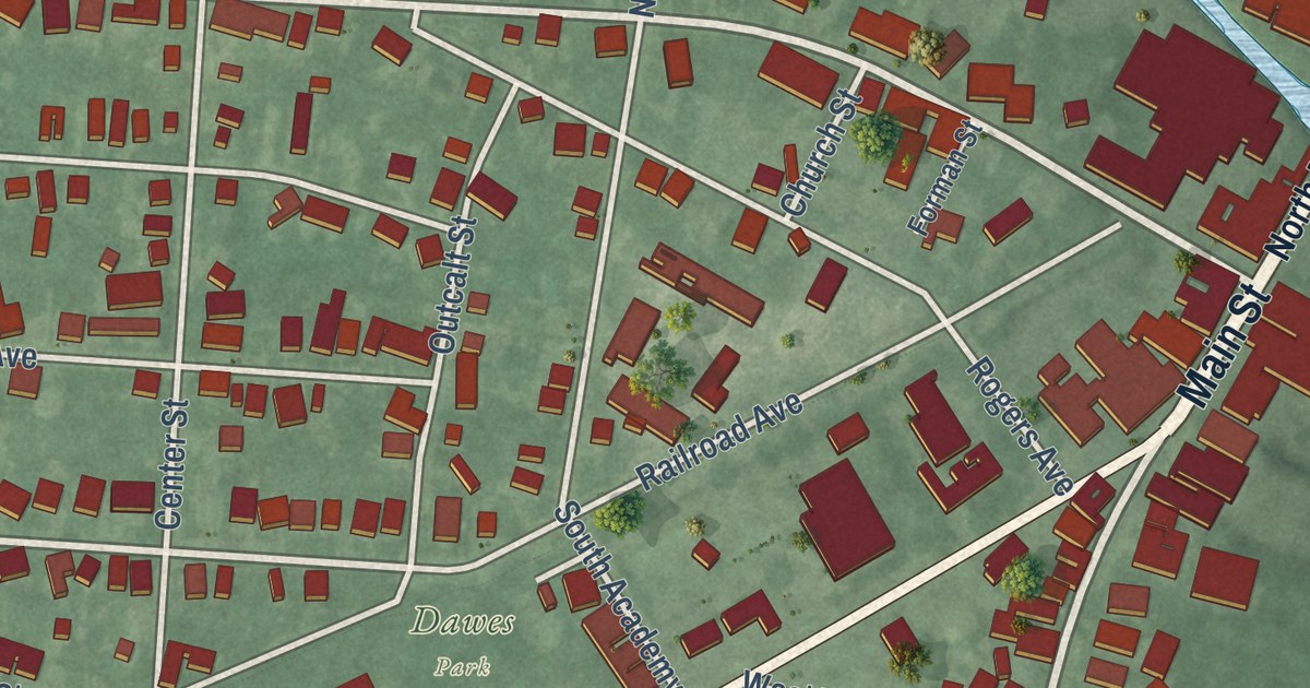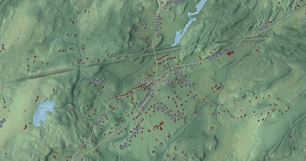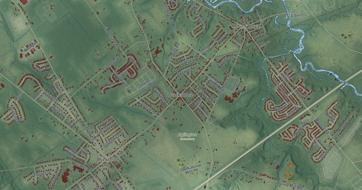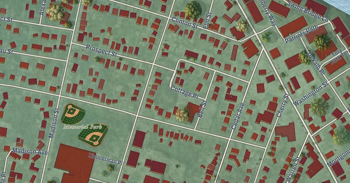
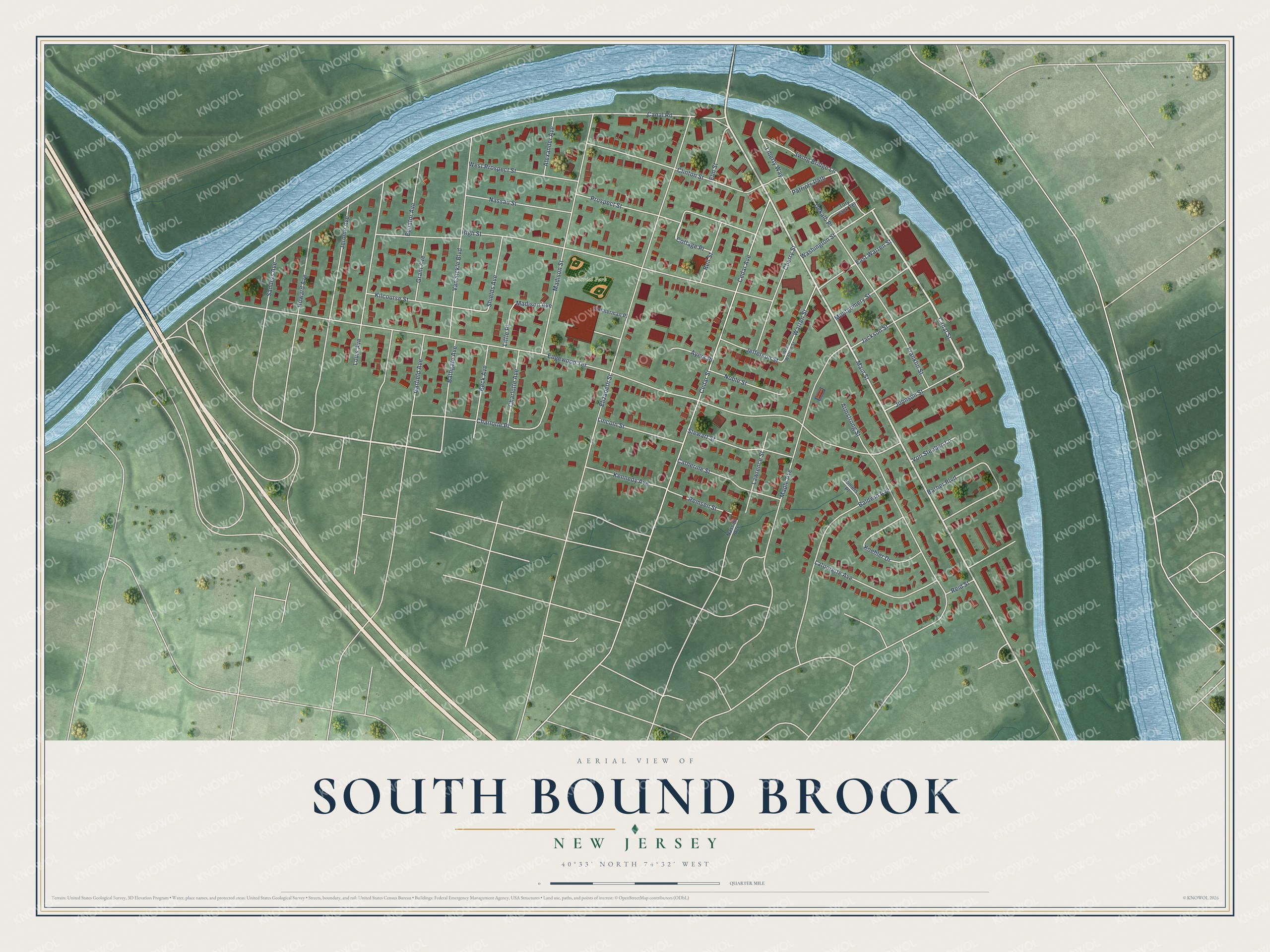
This beautifully detailed map of South Bound Brook, New Jersey was created in 2026 using aerial imagery combined with modern topographical, census, street and landmark data. It’s a one-of-a-kind view of South Bound Brook that combines accurate data with a vintage aesthetic. The map shows every building in its true location, many of the roads carry their names, and the shaded topographic relief shows the shape of the land.
Explore an aerial view of South Bound Brook, New Jersey
On the map you’ll find Delaware and Raritan Canal State Park and Memorial Park, along with Prospect Street, Canal Street, Main Street, Edgewood Terrace, Canal Road, and more. If you look closely you can even find your house accurately drawn in its correct location. Zoom in on the preview to look for yours.
Did You Know?
South Bound Brook grew from a small village into an industrial town. During the Revolution, Baron von Steuben was stationed in that village in 1778 and 1779. That’s from the 1939 WPA guide to New Jersey.
Take a closer look at the South Bound Brook map
Names on this map
These names are printed on this map.
Places: Memorial Park.
Streets and roads: Prospect Street, Canal Street, Main Street, Edgewood Terrace, Canal Road, High Street, Elizabeth Street, Cedar Avenue, Cedar Street, Madison Street, Maple Avenue, Armstrong Street.
More street names, A to Z
Alexander Avenue, Ayers Place, Baldwin Avenue, Barber Boulevard, Bathgate Avenue, Beck Avenue, Bell Street, Catherine Street, Charlotte Avenue, Charlotte Place, Cherry Street, Clinton Street, Cottage Place, Dekalb Place, East Warren Street, Elm Street, Equator Avenue, Franklin Street, Garfield Avenue, Grant Avenue, Howard Avenue, Jackson Street, Jefferson Street, Jerome Avenue, Johnson Street, Kennedy Avenue, Kilcourse Street, Koehler Drive, Latourette Avenue, Lawrence Street, Liberty Way, Lincoln Street, Little Place, Louis Avenue, Madison Avenue, Montgomery Street, Nassau Avenue, Nassau Street, Noble Street, Patriots Path, Reid Street, Remsen Street, Sanders Avenue, Shields Avenue, Somers Place, Stewart Street, Swing Bridge Lane, Tory Jack Terrace, Van Sickle Boulevard, Von Steuben Lane, Warren Street, Washington Street, West Prospect Street, West Warren Street, Zimmerman Place.
See it on a wall
The South Bound Brook map as an 18 x 24 inch print in a black frame.

This beautifully detailed map of South Bound Brook makes an attractive addition to your office, library, or den, and it can even be used to teach children the geography and history of the area. It also makes a great gift for someone who left South Bound Brook and still calls it home. When you’re done exploring, click here to get your copy of the South Bound Brook map.