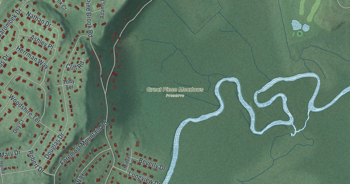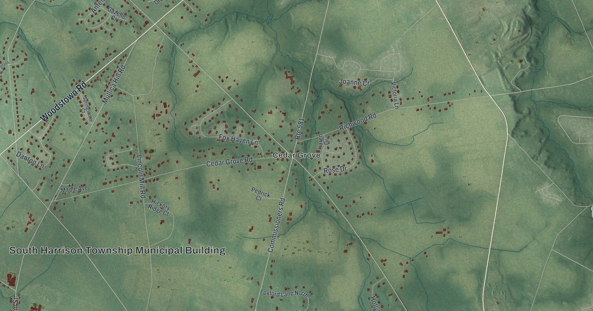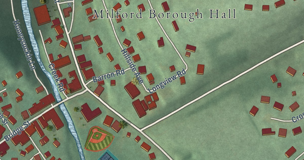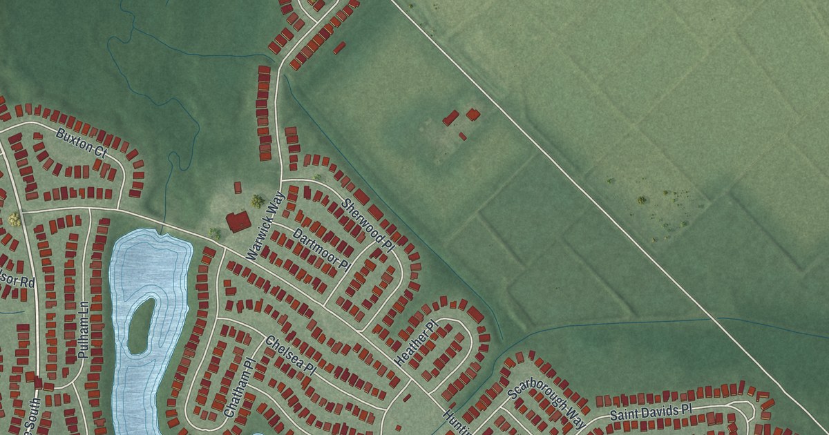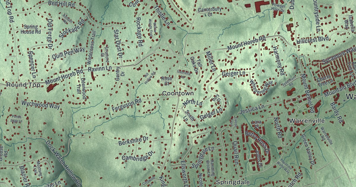
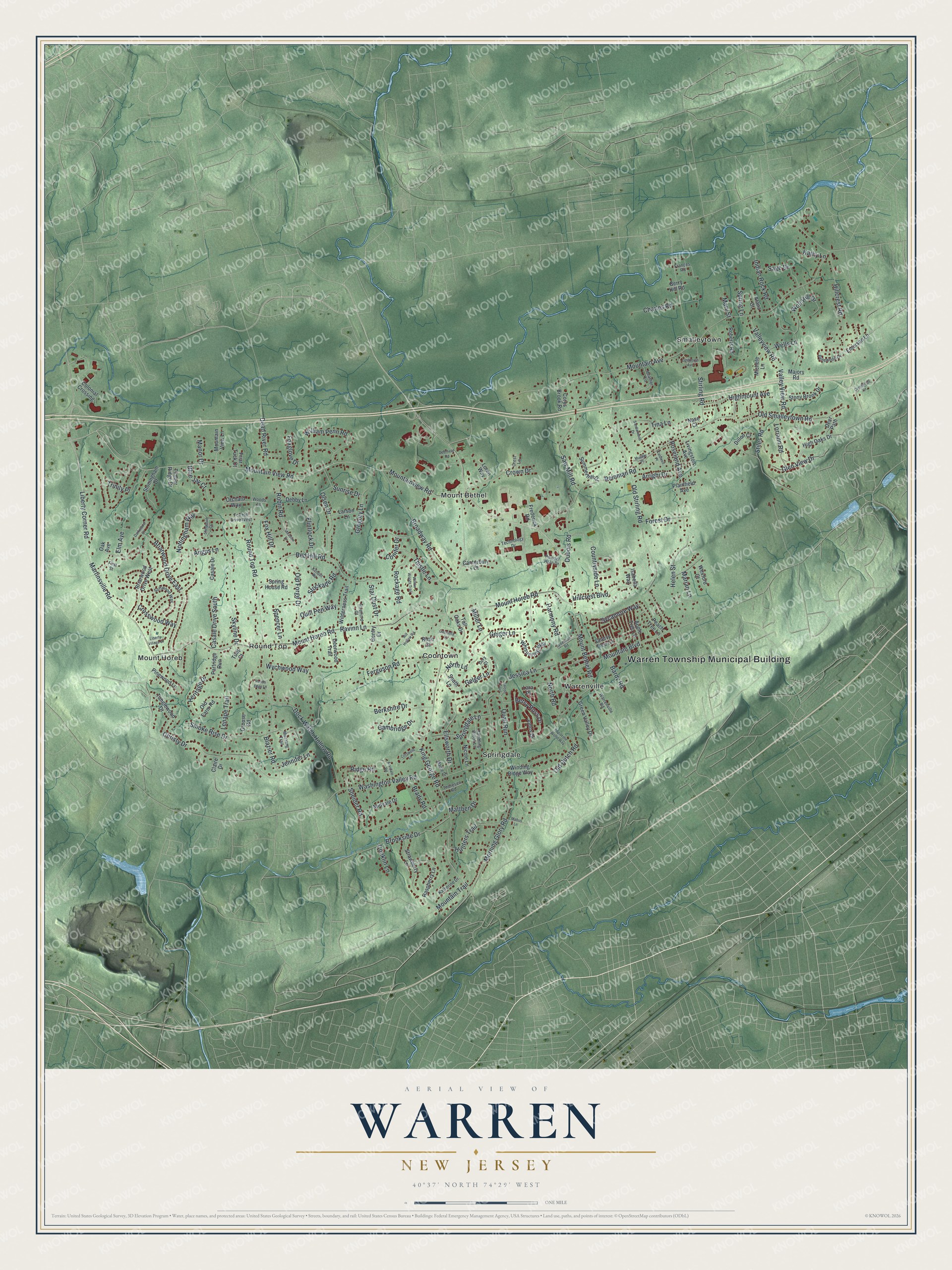
This beautifully detailed map of Warren, New Jersey was created in 2026 using aerial imagery combined with modern topographical, census, street and landmark data. It’s a one-of-a-kind view of Warren that combines accurate data with a vintage aesthetic. The map shows every building in its true location, many of the roads carry their names, and the shaded topographic relief shows the shape of the land.
Explore an aerial view of Warren, New Jersey
On the map you’ll find Warren Township Municipal Building, Coontown, Mount Bethel, Mount Horeb, Round Top, and Smalleytown, along with Mountain View Road, King George Road, Mountain Avenue, Ravinn Lane, and more. If you look closely you can even find your house accurately drawn in its correct location. Zoom in on the preview to look for yours.
Did You Know?
Warren Township honors General Joseph Warren, a patriot of the Revolution. He was killed fighting at the Battle of Bunker Hill. European farmers settled the land in the 1720s. The township was formed in 1806 from parts of Bernards and Bridgewater.
Take a closer look at the Warren map
Names on this map
These names are printed on this map.
Places: Warren Township Municipal Building, Coontown, Mount Bethel, Mount Horeb, Round Top, Smalleytown, Springdale and Warrenville.
Streets and roads: Mountain View Road, King George Road, Mountain Avenue, Ravinn Lane, Mount Horeb Road, Liberty Corner Road, Mountainview Road, Mount Bethel Road, Washington Valley Road, Stirling Road, Martinsville Road, Old Stirling Road.
More street names, A to Z
Alana Court, Angus Lane, Apple Tree Lane, Arrighi Drive, Arvidale Road, Bardy Road, Bellewood Drive, Berkshire Drive, Berry Hill Road, Betsy Ross Drive, Blazier Road, Blue Jay Court, Brady Road, Briarwood Drive East, Briarwood Drive West, Broadway Road, Brookside Drive, Caldwell Place, Cambridge Drive, Canterbury Court, Casale Drive, Casale Drive South, Charles Road, Cherry Tree Lane, Christy Drive, Claire Drive, Colonial Crossing, Conifer Drive, Conklin Lane, Corys Brook Road, Cotswold Lane, Countryside Lane, Crest Lane, Crestwood Drive, Crosswood Way, Crown Drive, Darkwood Court, Dead River Road, Debby Lane, Deerfield Road, Deer Path, Deerwood Trail, Dillon Court, Dock Watch Hollow Road, Dory Court, Dubois Road, Ellsworth Drive, Elm Avenue, Emerson Lane, Falcon Trail, Ferguson Road, First Street, Flintlock Drive, Forest Drive, Foxglove Drive, Fox Hill Drive, Fox Hill Drive West, Frances Road, Frederick Road, Friar Tuck Court, Gabriella Lane, Geiger Lane, Gelger Lane, Gentry Drive, Glen View Drive, Green Valley Drive, Gregory Lane, Grouse Road, Harmony Road, Heather Lane, Helen Street, Heritage Drive, Highmount Avenue, High Oaks Drive, Hillcrest Boulevard, Hillcrest Road, Hill Hollow Road, Hunters Trail, Indian Rock Road, Isabella Way, Jennifer Lane, Jessica Lane, Johns Drive, Katherine Drive, Kathy Lane, Kenquit Road, Lara Place, Larson Lane, Lenape Trail, Liberty Village Drive, Lindbergh Avenue, Livingston Avenue, Loren Way, Loriann Road, Mabus Lane, Majors Road, Manor Drive, Maple Drive, Marian Lane, Mary Street, Mattben Drive, Meadow Drive, Michele Lane, Midvale Drive, Miller Lane, Morning Glory Road, Mountain Boulevard, Mountain Trail, Mountain View Lane, Mueller Place, Mustang Trail, Nase Court, Nicole Lane, North Lane, North Road, Nottingham Way, Oak Avenue, Old Dutch Road, Old Farm Road, Old Forge Drive, Old Smalleytown Road, Olsen Drive, Orchard Way, Partridge Run, Peach Tree Lane, Pinewood Lane, Plainfield Avenue, Ponds Edge Lane, Powder Horn Drive, Quail Run, Quill Pen Way, Rambling Brook Lane, Raspberry Lane, Red Hill Road, Reinman Road, Ridge Road, Roberts Road, Robin Road, Rockage Road, Rose Court, Roseland Avenue, Round Top Road, Sage Drive, Sandalwood Drive, Saw Mill Road, Sherwood Court, Skyline Drive, Smoke Rise Drive, Sneider Road, Softwood Way, South Lane, Spencer Lane, Springdale Lane, Spring House Road, Spring Lane, Star Dust Drive, Stiles Road, Stockade Road, Stoningham Drive, Stony Brook Drive, Stratford Court, Strawberry Lane, Summerhill Drive, Sunrise Drive, Sycamore Way, Sydenham Road, Tall Oaks Drive, Tanglewood Drive, Technology Drive, Thistle Lane, Thoresen Road, Timber Ridge Drive, Tina Lane, Top of the World Way, Trinity Place, Tulip Court, Valley View Road, Valleyview Road, Warrenville Road, Wells Lane, Wexford Court, Whispering Way, Wilderness Trail, William Penn Road, Willow Woods Trail, Winding Ridge Way, Wolf Hill Drive, Woods Lane, Wychwood Way.
See it on a wall
The Warren map as an 18 x 24 inch print in a black frame.

This beautifully detailed map of Warren makes an attractive addition to your office, library, or den, and it can even be used to teach children the geography and history of the area. It also makes a great gift for anyone with Warren roots. When you’re done exploring, click here to get your copy of the Warren map.