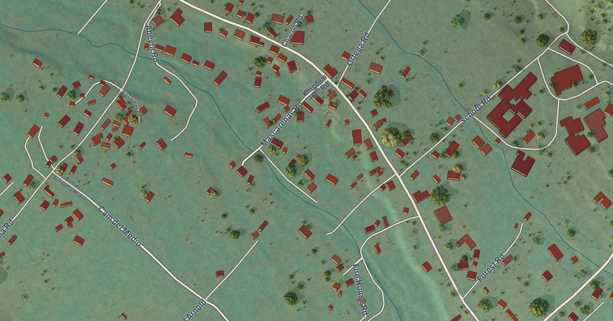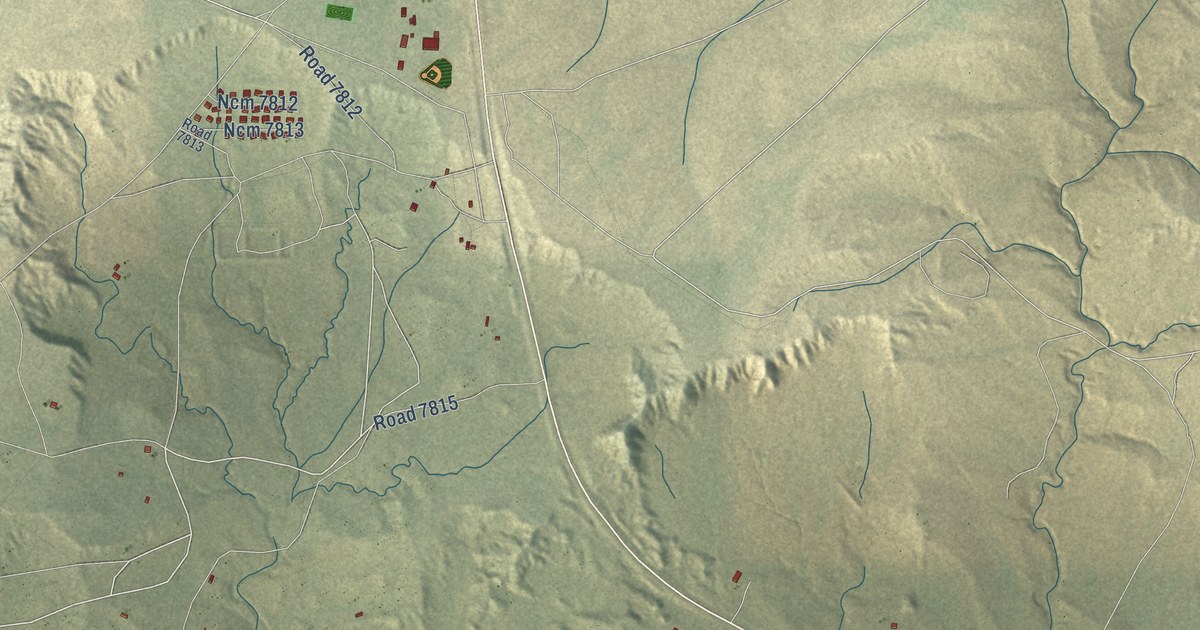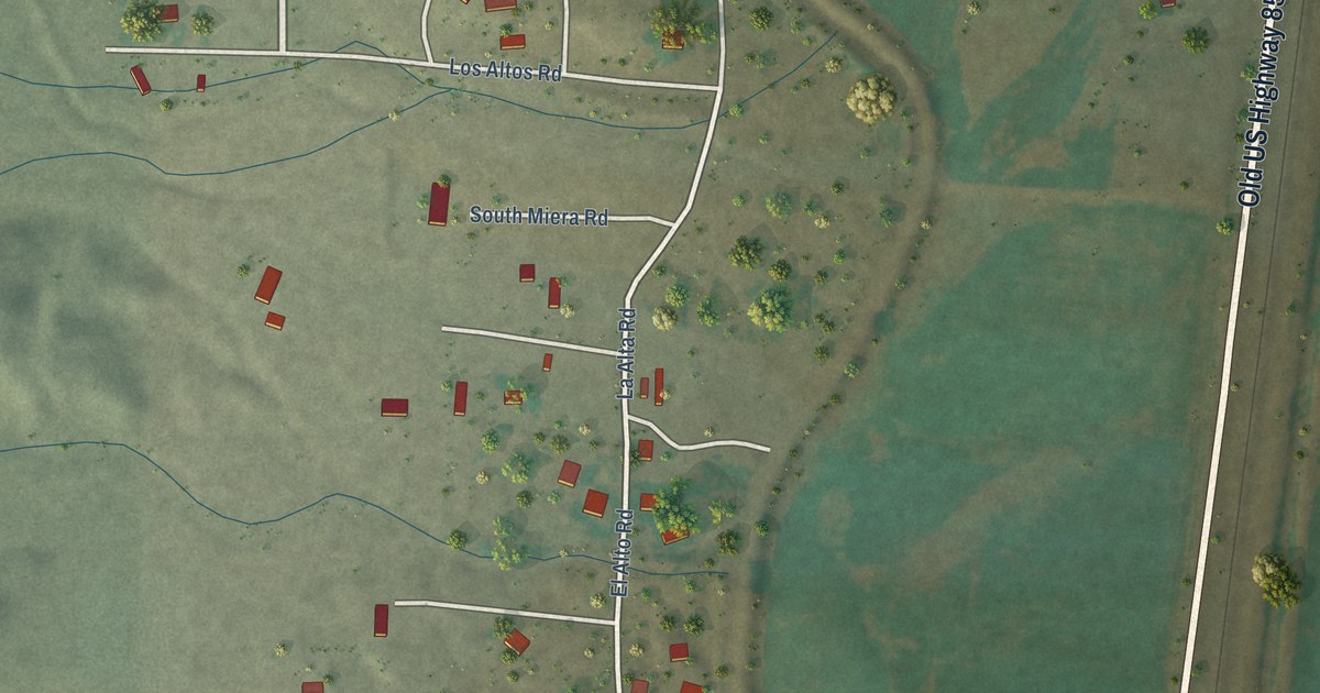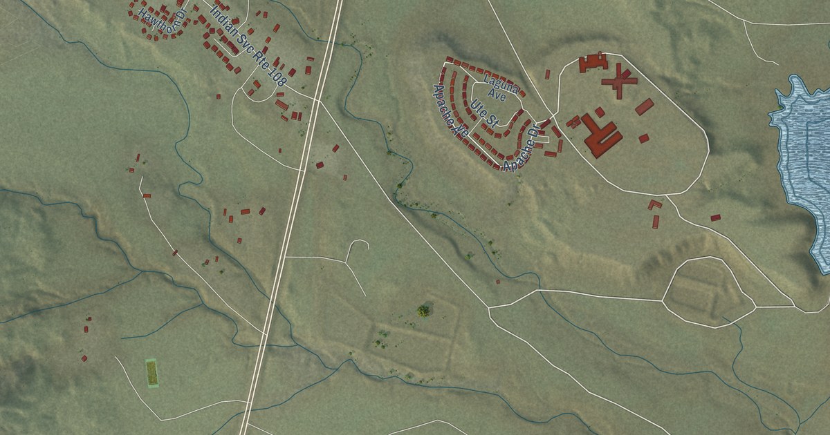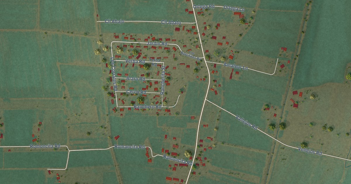
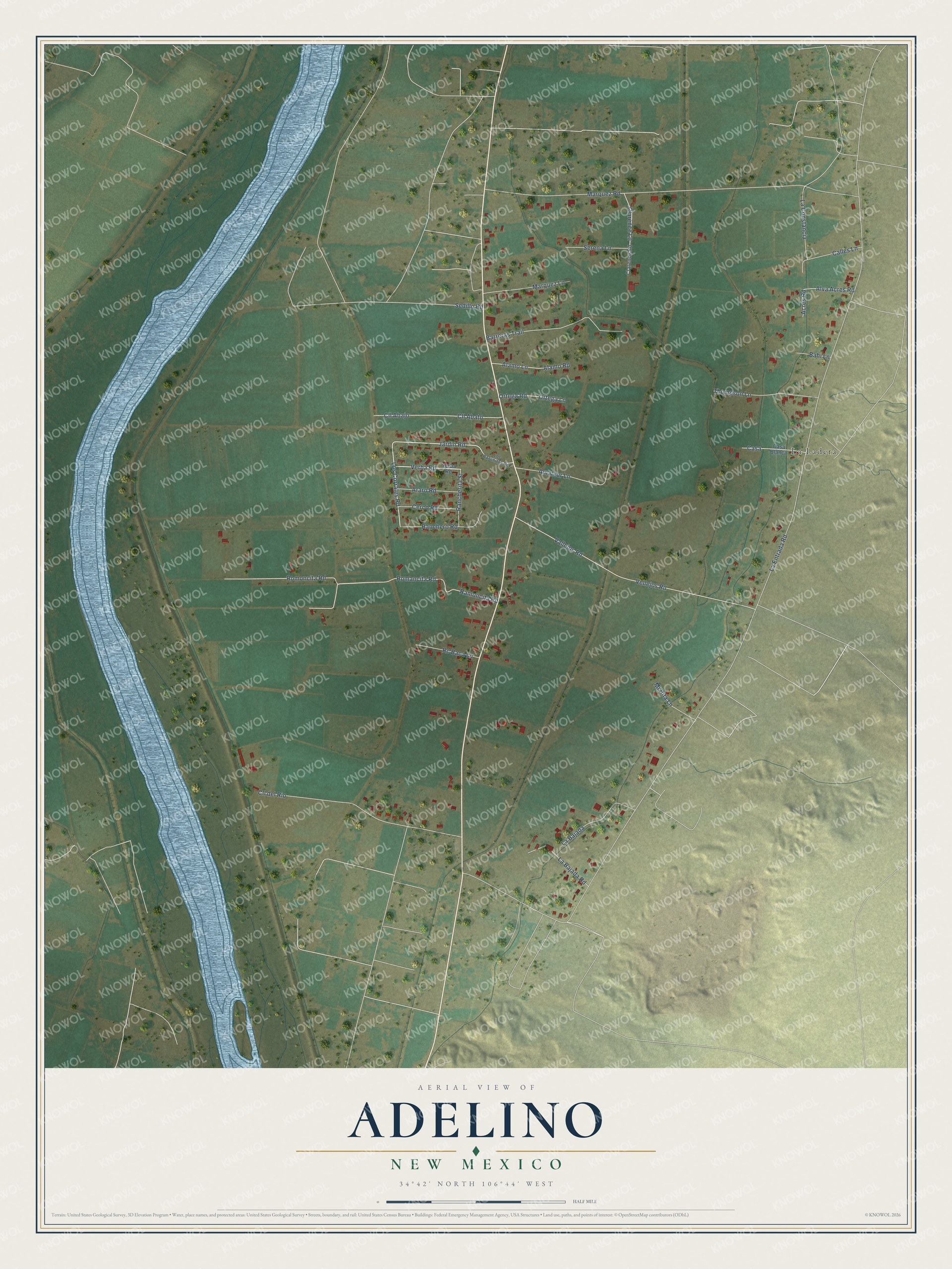
This beautifully detailed map of Adelino, New Mexico was created in 2026 using aerial imagery combined with modern topographical, census, street and landmark data. It's a modern aerial view of Adelino in Valencia County, New Mexico, that combines modern data with a vintage aesthetic. The roads feature printed names, and if you look closely you can find your exact house accurately shown in its correct location.
Explore an aerial view of Adelino, New Mexico
On this map you'll find La Ladera, Jardin Road, Los Corrales Road, Verba Road, Romoncita Road, La Entrada Road, Marquez Road, Ramoncita Road, Vallejos Road, Vellejos Road, Cll del Rio, Sedillo Road, and more. Each red shape is a building, so zoom in on the preview and look for yours.
Adelino is a community in Valencia County. The Census Bureau counted 735 people here in 2020. Adelino sits about 2 miles south of Tome, 2 miles northeast of Sausal and 3 miles southeast of Los Chaves. The map prints the town name in its title panel, with the coordinates below it.
Take a closer look at the Adelino map
Names on this map
These names are printed on this map.
Places: La Ladera.
Streets and roads: Jardin Road, Los Corrales Road, Verba Road, Romoncita Road, La Entrada Road, Marquez Road, Ramoncita Road, Vallejos Road, Vellejos Road, Cll del Rio, Sedillo Road, Barreras Trail.
More street names, A to Z
Acres Road, Alamo Lane, Alamo Road, Alva Acres Road, Amateur Lane, Araro Road, Bahi Lane, Calles Lane, Casa, Casa Blanca, Cerco Road, Clarence Lane, Clarence Road, Cll Abajo, Cll Abato, La Bajada, La Bajada Road, La Constancia, Los Ranchitos Road, Marquez Lane, Mi Hita Lane, Ortega Lane, Ortega Road, Rancherita Street, Ranchero Road, Rc Baca Lane, Romancita Road, Serena Lane, Thompson Lane, Yerba Road.
See it on a wall
The Adelino map as a framed print. Swipe for more.


Created by KNOWOL in 2026. The buildings are small red shapes, the roads carry their printed names, and shaded relief shows the shape of the land. The title panel reads "AERIAL VIEW OF ADELINO, NEW MEXICO" with 34°42' NORTH 106°44' WEST.
It suits a den, a classroom or a front hall, and it makes a gift for anyone with Adelino roots. Open the preview and find the block you know. See sizes and frames for the Adelino map.