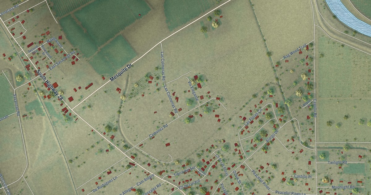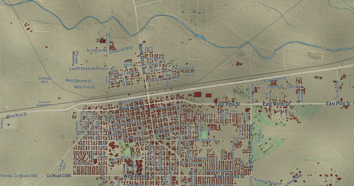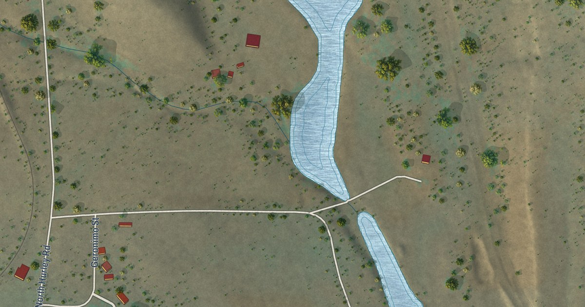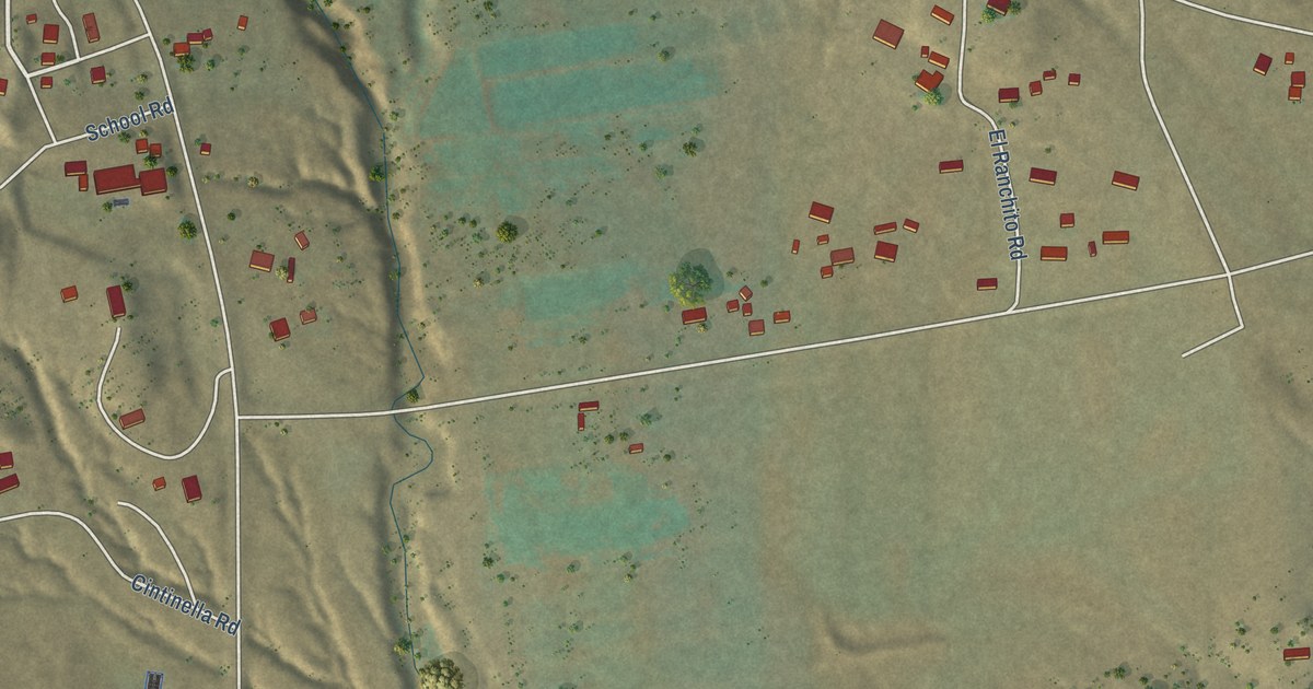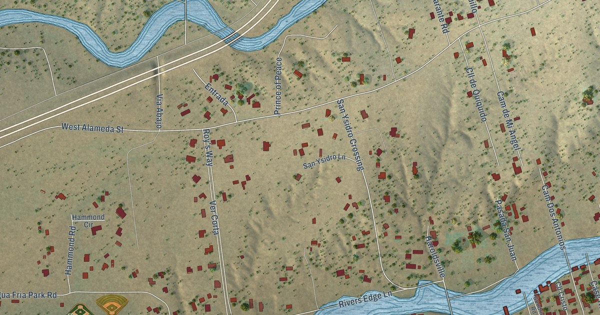
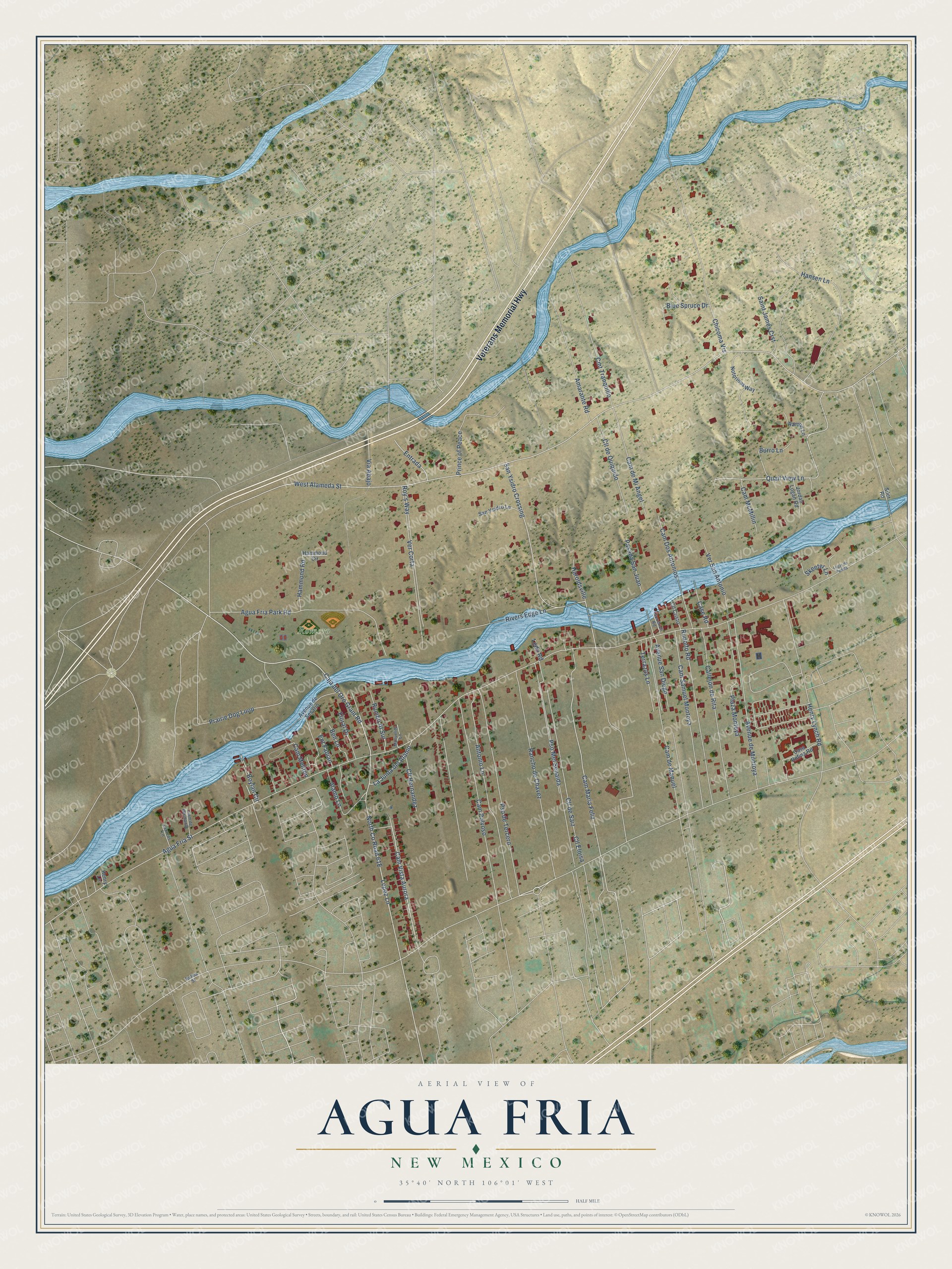
This beautifully detailed map of Agua Fria, New Mexico was created in 2026 using aerial imagery combined with modern topographical, census, street and landmark data. It's a modern aerial view of Agua Fria in Santa Fe County, New Mexico, that combines modern data with a vintage aesthetic. The roads feature printed names, and if you look closely you can find your exact house accurately shown in its correct location.
Explore an aerial view of Agua Fria, New Mexico
On this map you'll find Romero Park, Veterans Memorial Highway, Cam Vista Aurora, Cam Maria Feliz, Caja del Oro Grant Road, Agua Fria Street, West Alameda Street, Hansen Lane, San Ysidro Crossing, Pso Mel Senaida, Antonio Lane, Rancho de Chavez, and more. Each red shape is a building, so zoom in on the preview and look for yours.
Agua Fria is a community in Santa Fe County. The Census Bureau counted 2,913 people here in 2020. Agua Fria sits about 2 miles west of Santa Fe, 2 miles southeast of Tres Arroyos and 4 miles southeast of Las Campanas. The map prints the town name in its title panel, with the coordinates below it.
Take a closer look at the Agua Fria map
Names on this map
These names are printed on this map.
Places: Romero Park.
Streets and roads: Veterans Memorial Highway, Cam Vista Aurora, Cam Maria Feliz, Caja del Oro Grant Road, Agua Fria Street, West Alameda Street, Hansen Lane, San Ysidro Crossing, Pso Mel Senaida, Antonio Lane, Rancho de Chavez, Pso de Tercero.
More street names, A to Z
Agua Fria Park Road, Alamo Lane, Amarante Road, Avenue de Montoya, Avenue de Sesario, Avenue San Diego, Ben Lane, Blue Spruce Drive, Boylan Circle, Burro Lane, Callejón de Rita, Cam de Hermanos, Cam de Manuel, Cam de Mi Angel, Cam Dos Antonios, Cam McMillin, Cam Meliton, Cam Polvoso, Cam Samuel Montoya, Casa Rufina Road, Case Road, Chicoma Vis, Cll Cristo, Cll de Quiquido, Cll de Saiz, Cll Eloisa, Cll Hernandez, Cmt Tranquillo, Ent Fabian, Entrada, Floral Drive, Goodrich Road, Hammond Circle, Hammond Road, Haroldsville, Henry Lane, Henry Lynch Road, Jordan Logan Road, La Junta del Alamo, Laurens Lane, Ledd Road, Lopez Lane, Lugar de Padilla, Manuelito Lane, Notorious Way, Pasada San Juan, Plaza Montoya, Prairie Dog Loop, Prince of Peace, Quail View Lane, Ramon Lane, Rivers Edge Lane, Roy's Way, Rudolfo Road, Rufina Street, Rumbo Al Sur, Saint James Crst, San Ysidro Lane, Siler Road, Skeeter Lane, Terrazas Lane, Ver Corta, Ver San Antonio, Via Abajo.
See it on a wall
The Agua Fria map as a framed print. Swipe for more.


Created by KNOWOL in 2026. The buildings are small red shapes, the roads carry their printed names, and shaded relief shows the shape of the land. The title panel reads "AERIAL VIEW OF AGUA FRIA, NEW MEXICO" with 35°40' NORTH 106°01' WEST.
It looks right in a kitchen, an office or a den, and it's a gift for anyone who grew up in Agua Fria or moved away. Open the preview and find your street. See sizes and frames for the Agua Fria map.