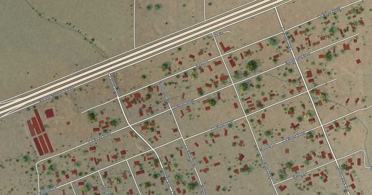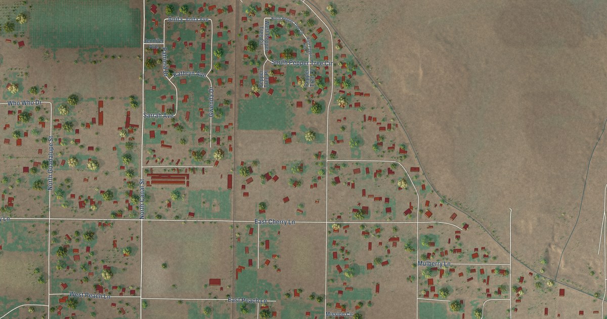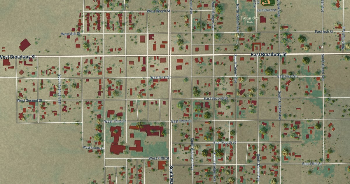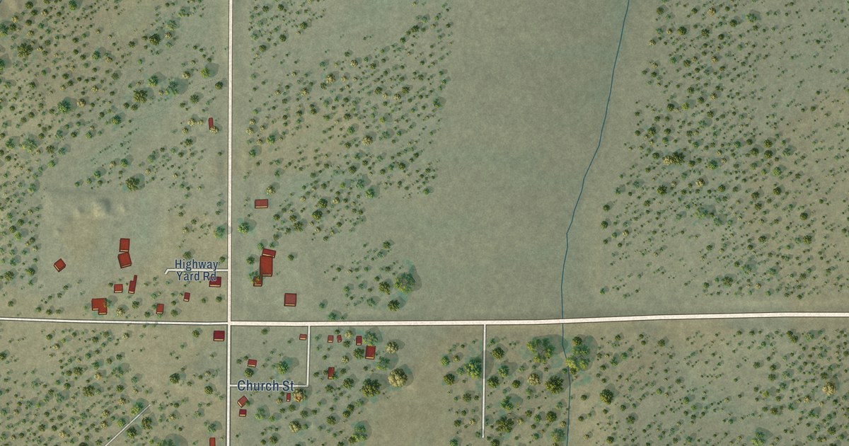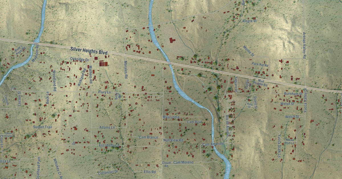
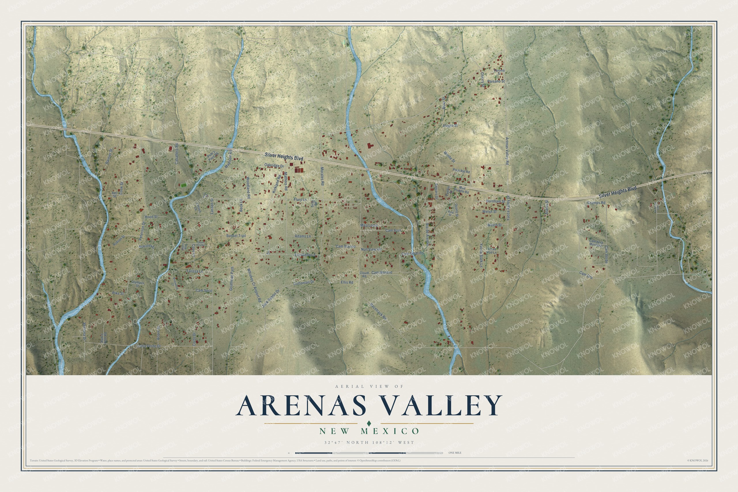
This beautifully detailed map of Arenas Valley, New Mexico was created in 2026 using aerial imagery combined with modern topographical, census, street and landmark data. It's a modern aerial view of Arenas Valley in Grant County, New Mexico, that combines modern data with a vintage aesthetic. The roads feature printed names, and if you look closely you can find your exact house accurately shown in its correct location.
Explore an aerial view of Arenas Valley, New Mexico
On this map you'll find Silver Heights Boulevard, Arenas Valley Road, Morales Road, Yucca Stalk Lane, Racetrack Road, Kirkland Road, Peterson Drive, Flury Lane, Cam Verde, Loma Verde Drive, Mathers Road, Cam Moreno, and more. Each red shape is a building, so zoom in on the preview and look for yours.
Arenas Valley is a community in Grant County. The Census Bureau counted 1,291 people here in 2020. Arenas Valley sits about 2 miles east of Rosedale, 3 miles west of Santa Clara and 4 miles east of Silver City. The map prints the town name in its title panel, with the coordinates below it.
Take a closer look at the Arenas Valley map
Names on this map
These names are printed on this map.
Streets and roads: Silver Heights Boulevard, Arenas Valley Road, Morales Road, Yucca Stalk Lane, Racetrack Road, Kirkland Road, Peterson Drive, Flury Lane, Cam Verde, Loma Verde Drive, Mathers Road, Cam Moreno.
More street names, A to Z
Acorn Drive, Adams Lane, Alamo Street, Alegre Street, Beck Lane, Bell Street, Brocworth Lane, Burnham Street, Busy Street, Caballero Road, Cam Amarillo, Cam Azul, Cam Blanco, Cam de la Montana, Cam Oro, Cam Seco, Cherry Street, Cloudt Road, Cook Street, Copper Vista Road, Corto Drive, Cottontail Drive, Coye Lane, Drive, Ellis Road, Escobedo Lane, Flury Road, Goathead Path, Gold Street, Gramps Road, Hood Street, Jack Rabbit Drive, Lassen Lane, Lassen Street, Madison Road, McKinley Street, Mira Loma, Monte Street, Mud Puddle Road, Nun View Road, Oakridge Drive, Olympus Street, Pack Rat Road, Paisano Street, Paloma Street, Pete's Pass Road, Pike Street, Pueblo Drive, Quartz Street, Rainier Street, Ram's Horn Road, Rio de Arenas, Robson Street, Saguaro Drive, Sircy Road, Skarn Way, Sunset Trail, Talissa Lane, Twin Sisters Road, Ventana Drive, Welch Street, Welsh Street, Whiskey Cr Airport Road, Woodland Road, Yucca Pod Lane, Yucca Valley Drive.
See it on a wall
The Arenas Valley map as a framed print. Swipe for more.


Created by KNOWOL in 2026. The buildings are small red shapes, the roads carry their printed names, and shaded relief shows the shape of the land. The title panel reads "AERIAL VIEW OF ARENAS VALLEY, NEW MEXICO" with 32°47' NORTH 108°12' WEST.
Hang it in the hallway, the office or the cabin, or give it to someone who left Arenas Valley and still calls it home. Open the preview and look for a street you know. See sizes and frames for the Arenas Valley map.