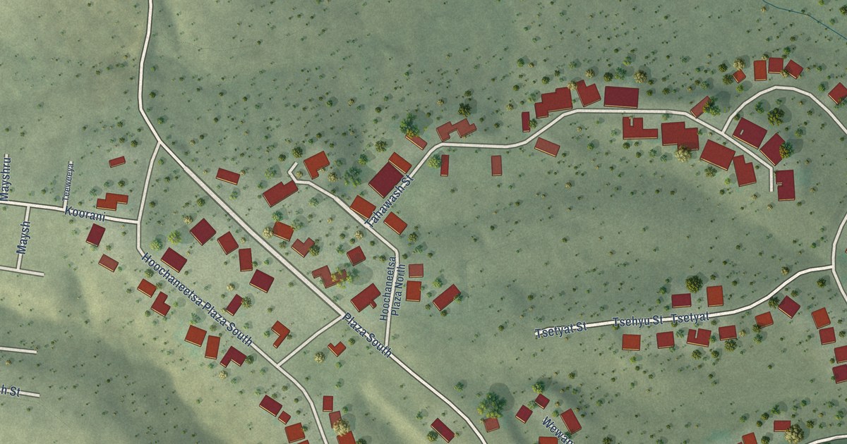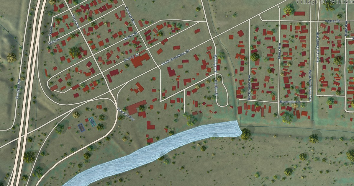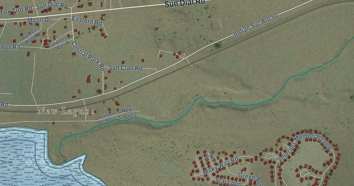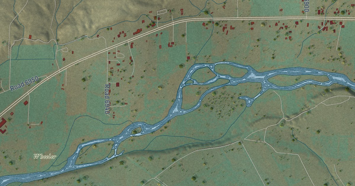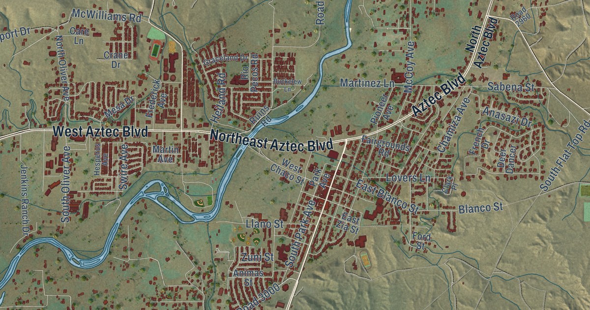
This beautifully detailed map of Aztec, New Mexico was created in 2026 using aerial imagery combined with modern topographical, census, street and landmark data. It’s a one-of-a-kind view of Aztec that combines accurate data with a vintage aesthetic. The map shows every building in its true location, many of the roads carry their names, and the shaded topographic relief shows the shape of the land.
Explore an aerial view of Aztec, New Mexico
On the map you’ll find Aztec Ruins National Monument, Tiger Park, and Road 3000, along with North Light Plant Road, Northeast Aztec Boulevard, West Aztec Boulevard, Navajo Dam Road, South Main Avenue, Aztec Boulevard, West Chaco Street, Blanco Street, McWilliams Road, and more. If you look closely you can even find your house accurately drawn in its correct location. Zoom in on the preview to look for yours.
Did you know this piece of Aztec, New Mexico history?
From the Historical Marker Database: "Aztec, named for the nearby National Monument, was founded in 1876 when portions of the Jicarilla Apache Reservation were opened for non Indian settlement. It is the seat of San Juan County, which was created in 1887 partially as a response to the desire of the residents to be free from the political forces of Rio Arriba County."
Take a closer look at the Aztec map
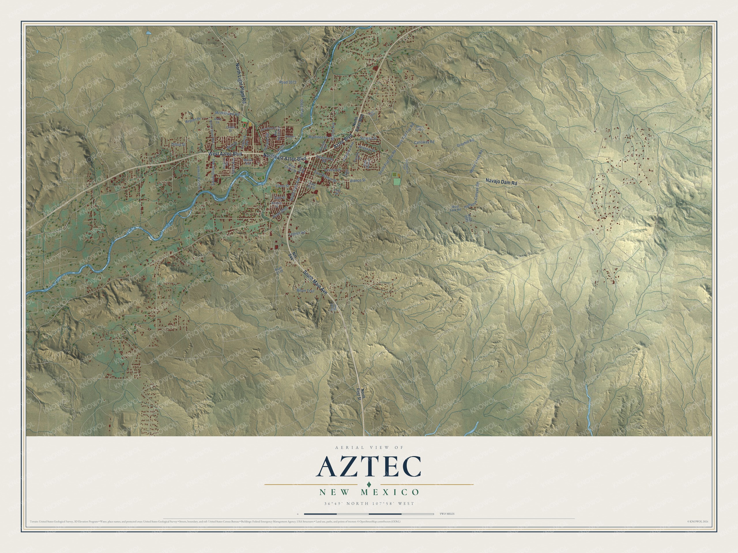
Street names on the Aztec, New Mexico map
These names are printed on the map of Aztec, New Mexico.
Streets and roads: South Main Avenue, Northeast Aztec Boulevard, Aztec Boulevard, Navajo Dam Road, West Aztec Boulevard, North Light Plant Road, Road 3000, Blanco Street, North Flat Top Road, South Flat Top Road, Heiland Road, Road 2900.
More street names, A to Z
Airport Drive, Anasazi Drive, Ancient Trails Circle, Animas Street, Bison Trail, Buckelew Lane, Calloway Road, Care Lane, Chamiza Avenue, Clark Place, Crane Drive, Deer Dancer, Dillon Street, East Blanco Street, East Zia Street, Fairgrounds Road, Ford Street, Frederick Avenue, French Drive, Graceland Drive, Grayhill Road, Hampton Canyon Road, Hesperus Avenue, Jenkins Ranch Drive, Legion Road, Llano Street, Lovers Lane, Martin Avenue, Martinez Lane, McCoy Avenue, McWilliams Road, Mesa Drive, Motor Cross Road, Nm 544, North Aztec Boulevard, North First Street, North Oliver Avenue, Old Spanish Trail, Park Avenue, Pioneer Avenue, Quail Run, Rio Pecos Road, Road 2585, Road 2960, Road 3072, Road 3119, Ruins Road, Sabena Street, South Oliver Avenue, South Park Avenue, Swire Avenue, West Chaco Street, West Fork Road, Zuni Street.
See the Aztec, New Mexico map on a wall
The Aztec map as an 18 x 24 inch print in a black frame.

This beautifully detailed map of Aztec makes an attractive addition to your office, library, or den, and it can even be used to teach children the geography and history of the area. It also makes a great gift for anyone with Aztec roots. When you’re done exploring, click here to get your copy of the Aztec map.