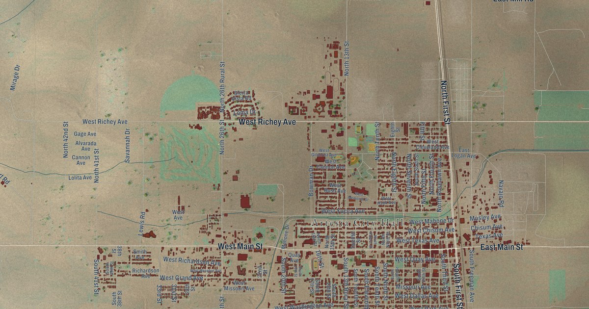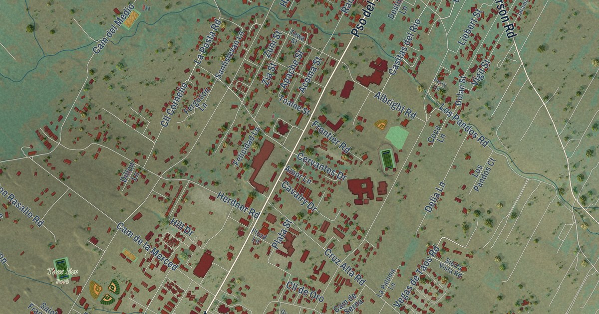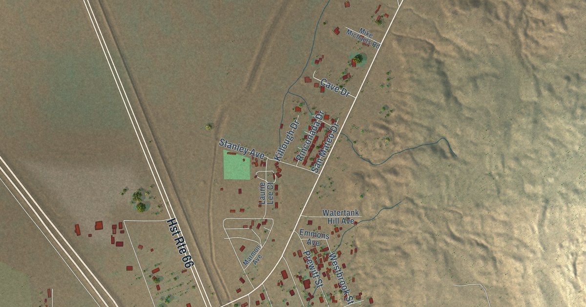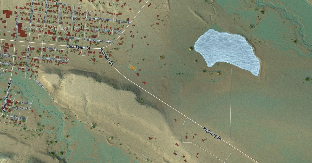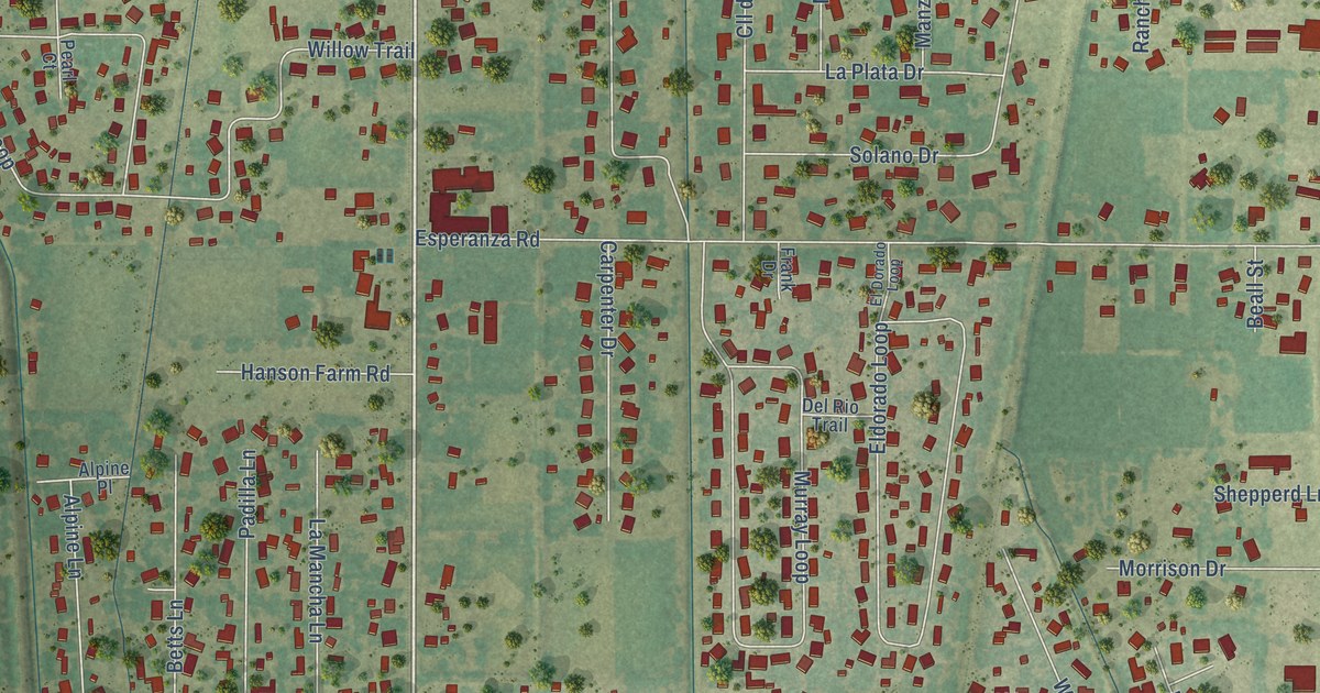
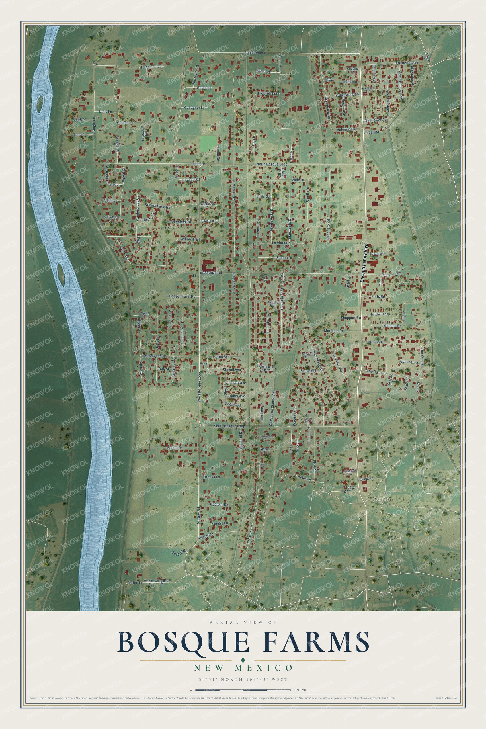
This beautifully detailed map of Bosque Farms, New Mexico was created in 2026 using aerial imagery combined with modern topographical, census, street and landmark data. It's a modern aerial view of Bosque Farms in Valencia County, New Mexico, that combines modern data with a vintage aesthetic. The roads feature printed names, and if you look closely you can find your exact house accurately shown in its correct location.
Explore an aerial view of Bosque Farms, New Mexico
On this map you'll find Peralta, Bosque Farms Boulevard, West Bosque Loop, McNew Road, Tribal Road 1, Green Acres Lane, Esperanza Road, North Bosque Loop, South Bosque Loop, Murray Loop, Lillie Drive, Eldorado Loop, and more. Each red shape is a building, so zoom in on the preview and look for yours.
Here is a piece of Bosque Farms history, in the words of the record. The Village of Bosque Farms puts it this way: "Otero repossessed the land, and in 1934 sold 2,420 acres to the New Mexico Rural Rehabilitation Corporation. The resettlement area was eventually taken over by the Federal Resettlement Administration (part of President Franklin D. Roosevelt’s New Deal) in 1935 and named the Bosque Farms Project."
Bosque Farms is a village in Valencia County. The Census Bureau counted 4,020 people here in 2020.
Take a closer look at the Bosque Farms map
Names on this map
These names are printed on this map.
Places: Peralta.
Streets and roads: Bosque Farms Boulevard, West Bosque Loop, McNew Road, Tribal Road 1, Green Acres Lane, Esperanza Road, North Bosque Loop, South Bosque Loop, Murray Loop, Lillie Drive, Eldorado Loop, Parklane Drive.
More street names, A to Z
Abbey Place, Abo Court, Abo Road, Alpine Court, Alpine Lane, Alpine Place, Appaloosa Place, Apple Blossom Street, Arena Road, Baker Avenue, Barnett Road, Beall Street, Becky Court, Betts Lane, Bonita Drive, Braught Lane, Braught Road, Brian Lane, Brooks Lane, Bruno Lane, Caballo Lane, Camino de Chavez Place, Camino de Chavez Road, Carpenter Drive, Chapman Road, Charlie Lane, Chical Road, Chiquitos Road, Chughole Road, Cll de Bosque, Cll del Oro, Cll del Sol, Cole Road, Cottonwood Drive, Country Lane, Crescent Drive, Cypress Road, Dearing Lane, Del Norte Court, Del Rio Trail, Desmet Road, Dolly Lane, Don Abran Road, Donna Road, Eaton Place, Edgewood Road, El Dorado Loop, Foxcroft Loop, Frank Drive, Franklin Road, Fuji Lane, Gallagner Lane, Garcia Lane, Golden Poppy Street, Gonzales Lane, Green Road, Hamilton Lane, Hanson Farm Road, Harris, Harris Avenue, Hawthorne Avenue, Konkol Farm Road, La Mancha Lane, La Plata Drive, La Vega Road, Lawson Circle, Lomax Avenue, Los Pinos Road, Magnolia Street, Manzanito Drive, Margaret Drive, Mason Circle, McNew Lane, Mistletoe Avenue, Mitchell Drive, Mitchell Loop, Monte Vista Drive, Morrison Drive, Noble Lane, Oak Street, Padilla Lane, Palamino Place, Pearl Court, Pearl Loop, Peralta Road, Pico Lane, Pine Street, Pleasant Lane, Potts Road, Ranchero Road, Ranchitos Road, Ringer Avenue, Sandia Drive, Sandra Lane, Satin Lane, Sego Lily Street, Shepperd Lane, Sherri Court, Shore Avenue, Shore Drive, Silk Lane, Smith Place, Snider Road, Solano Drive, Spencer Lane, Starr Road, Stovall Avenue, Sunflower Avenue, Sussex Place, Sutton Lane, Tamarack Circle, Titus Loop, Toby Lane, Todd Place, Toy Lane, Trinity Drive, Truchas Trail, Truman Circle, Valencia Drive, Valle Drive, Valle Grande Road, Valle Verde Place, Vanderploeg Court, Velvet Drive, Velvet Lane, Wapiti Lane, Wasmer Circle, Willow Trail, Winchester Drive.
Created by KNOWOL in 2026. The buildings are small red shapes, the roads carry their printed names, and shaded relief shows the shape of the land. The title panel reads "AERIAL VIEW OF BOSQUE FARMS NEW MEXICO" with 34°51' NORTH 106°42' WEST.
It suits a den, a classroom or a front hall, and it makes a gift for anyone with Bosque Farms roots. Open the preview and find the block you know. See sizes and frames for the Bosque Farms map.