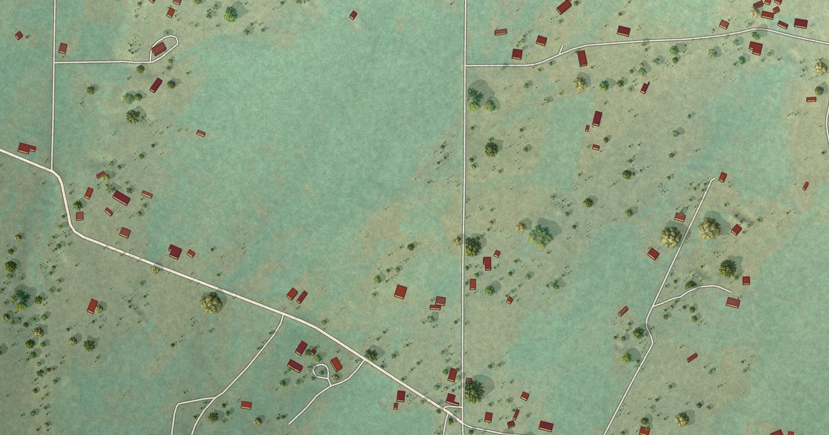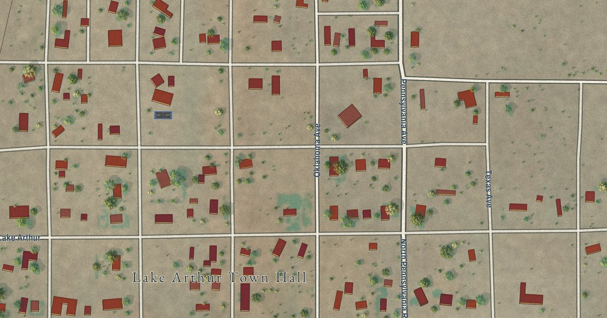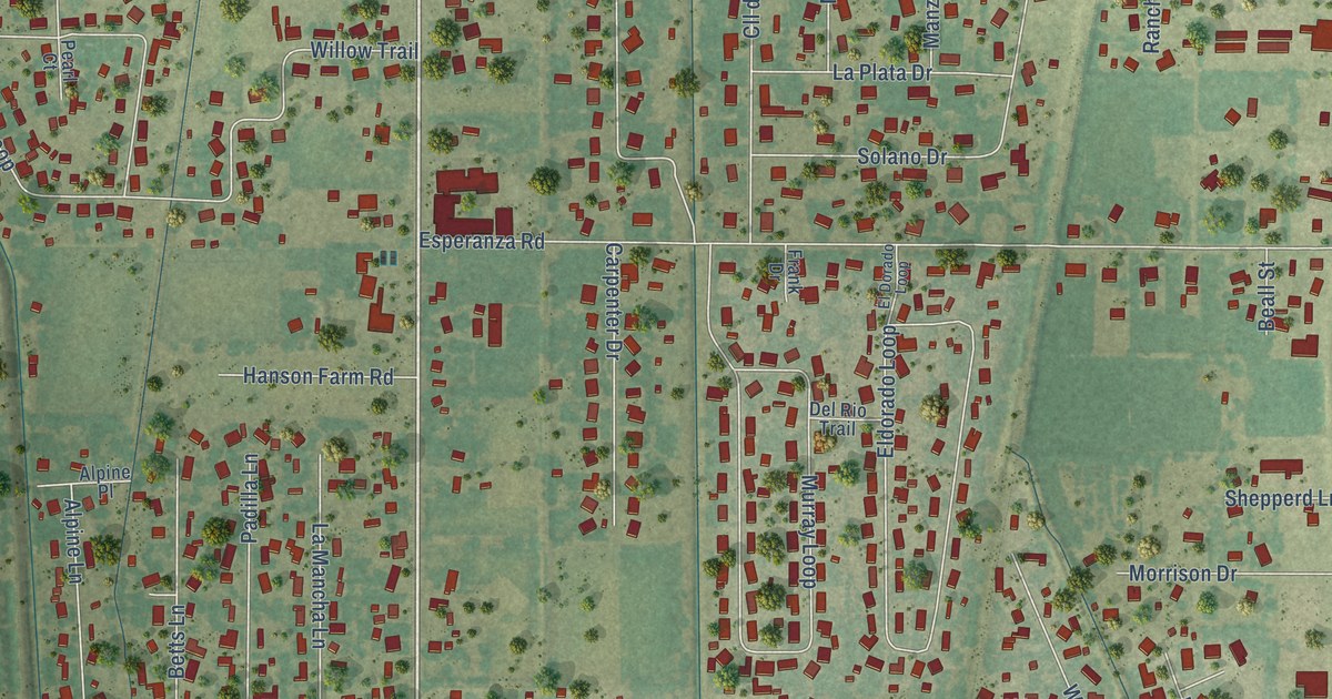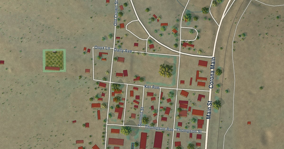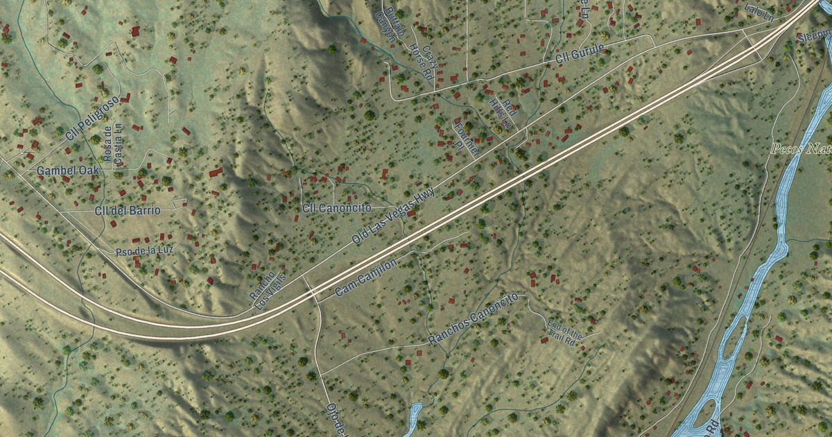
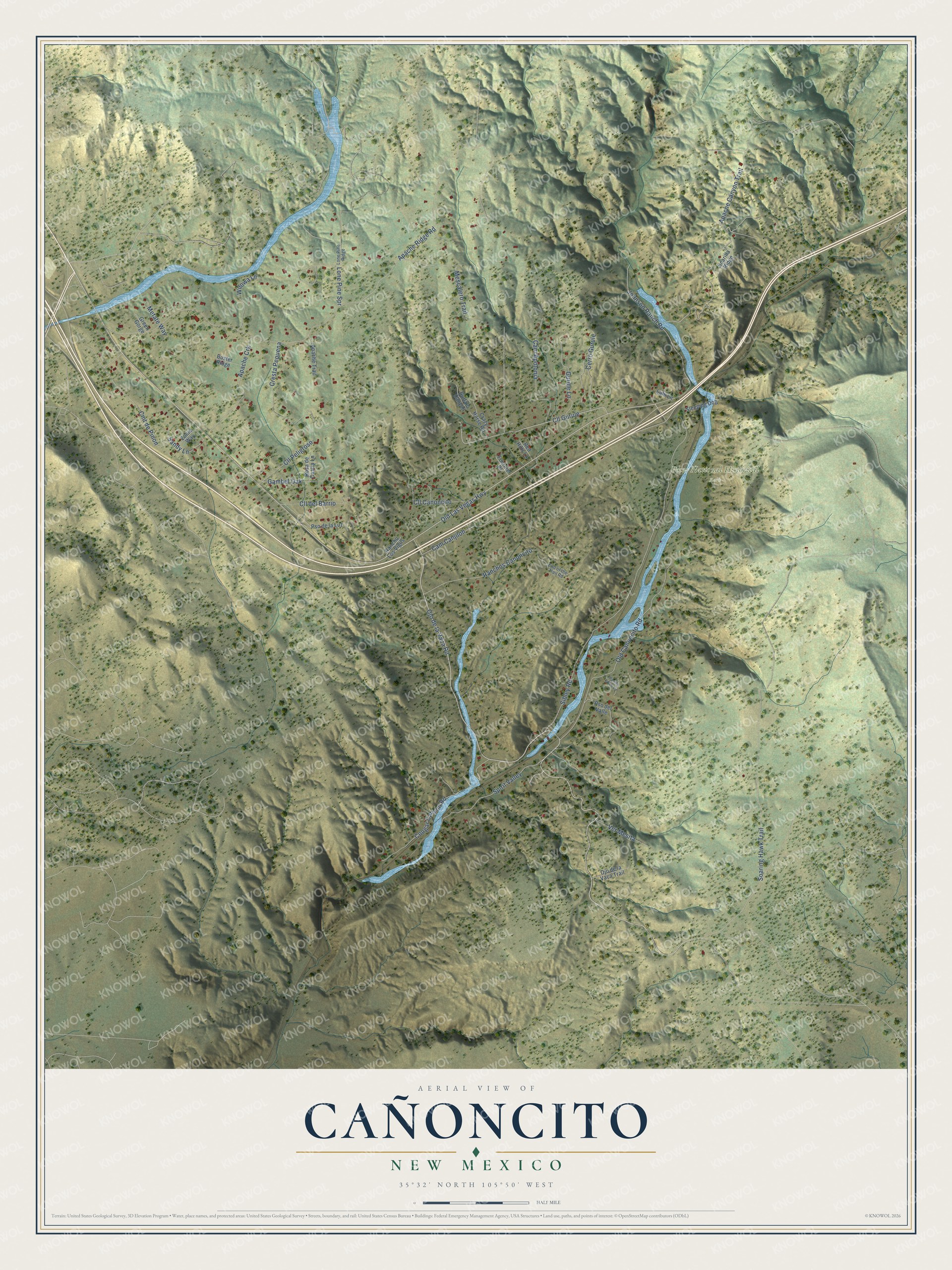
This beautifully detailed map of Cañoncito, New Mexico was created in 2026 using aerial imagery combined with modern topographical, census, street and landmark data. It's a modern aerial view of Cañoncito in Santa Fe County, New Mexico, that combines modern data with a vintage aesthetic. The roads feature printed names, and if you look closely you can find your exact house accurately shown in its correct location.
Explore an aerial view of Cañoncito, New Mexico
On this map you'll find Pecos National Historical Park, Old Las Vegas Highway, Apache Canyon Trail, Ojo de la Vaca Road, Cll Gurule, Apache Ridge Road, Soaring Hawk Trail, Sibley Road, Old Canoncito Road, Johnson Ranch Road, Cresta Pequena, Cmt de Pinon, and more. Each red shape is a building, so zoom in on the preview and look for yours.
Every town has a first chapter, and Cañoncito is no exception. Cañoncito was a trading point and the last stop for travelers on the Santa Fe Trail before they reached Santa Fe. In 1862, at nearby Johnson Ranch, Union forces destroyed a Confederate supply train, which effectively ended the Confederate threat to the Southwest. Sixteen years before that, in 1846, Governor Manuel Armijo had gathered his troops at Apache Canyon to defend New Mexico against the American army. That's from the National Register of Historic Places.
Cañoncito is a community in Santa Fe County. The Census Bureau counted 1,003 people here in 2020.
Take a closer look at the Cañoncito map
Names on this map
These names are printed on this map.
Places: Pecos National Historical Park.
Streets and roads: Old Las Vegas Highway, Apache Canyon Trail, Ojo de la Vaca Road, Cll Gurule, Apache Ridge Road, Soaring Hawk Trail, Sibley Road, Old Canoncito Road, Johnson Ranch Road, Cresta Pequena, Cmt de Pinon, Cougar Canyon Road.
More street names, A to Z
Apache Crk, Apache Trail, Buffalo Canyon, Buster Ridge, Cam Apolonia, Cam Canjilon, Cerro Gurule, Cll Canoncito, Cll del Barrio, Cll Peligroso, Crazy Horse Road, End of the Trail Road, Fournier Place, Gambel Oak, Green Gorge, Gurule Lane, Jicarilla Ridge, Lalo Lane, Lone Pine Ridge, Lone Pine Spr, Mescalero Trail, Metate Way, Ojo de la Vaca Trail, Pasillo Chico Lane, Pso de la Luz, Pso del Valle, Rancho Los Vigils, Ranchos Canoncito, Red Hills Lane, Rosa de Castia Lane, Sandy Lane, Sleeping Dog, Spirit Valley, Ver Mesita, Wilowa Lane, Zonie Way.
See it on a wall
The Cañoncito map as a framed print. Swipe for more.


Created by KNOWOL in 2026. The buildings are small red shapes, the roads carry their printed names, and shaded relief shows the shape of the land. The title panel reads "AERIAL VIEW OF CAÑONCITO, NEW MEXICO" with 35°32' NORTH 105°50' WEST.
Hang it in the hallway, the office or the cabin, or give it to someone who left Cañoncito and still calls it home. Open the preview and look for a street you know. See sizes and frames for the Cañoncito map.