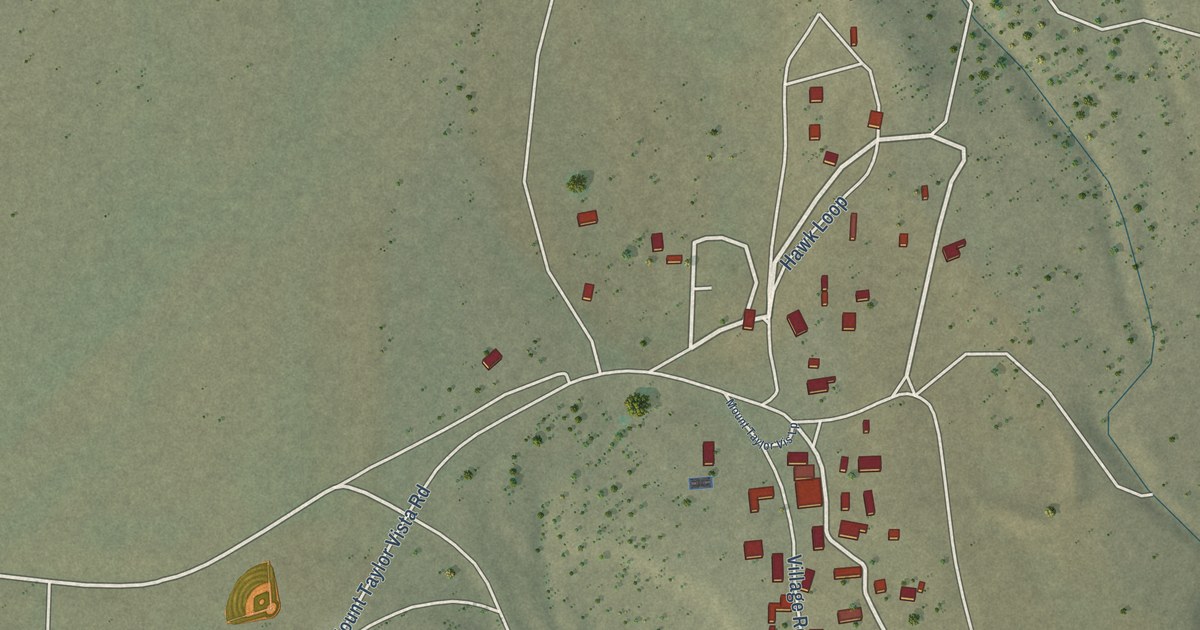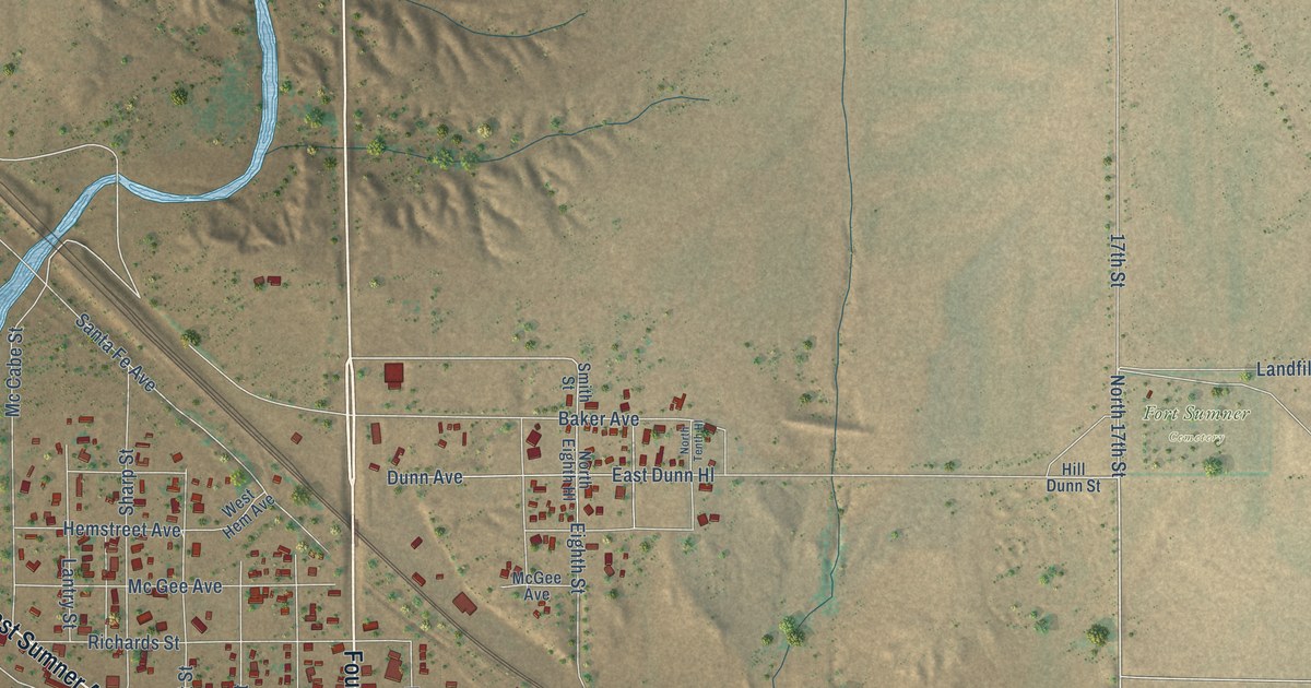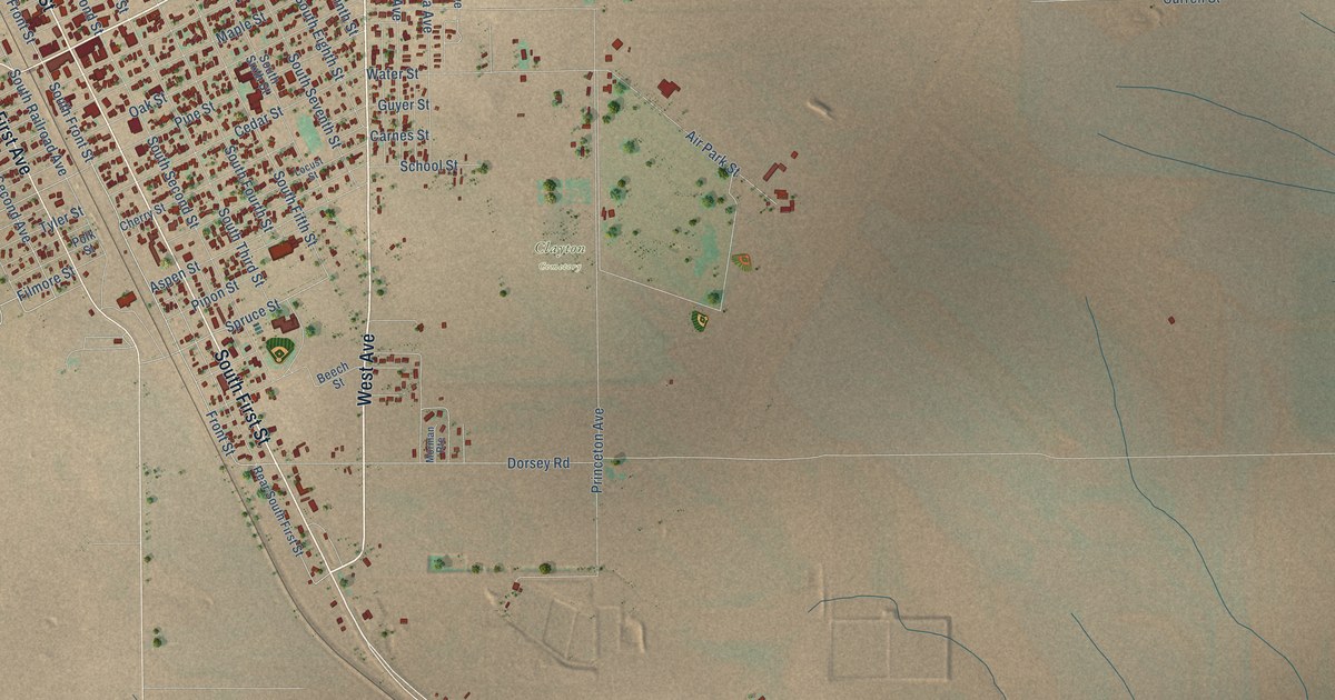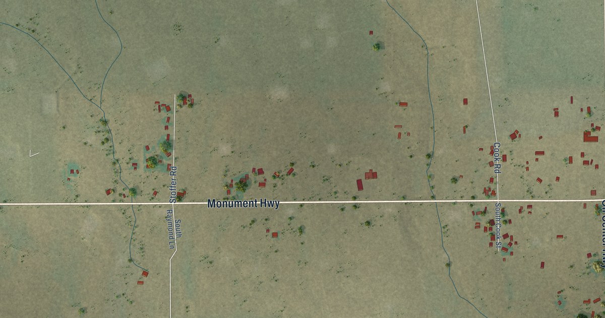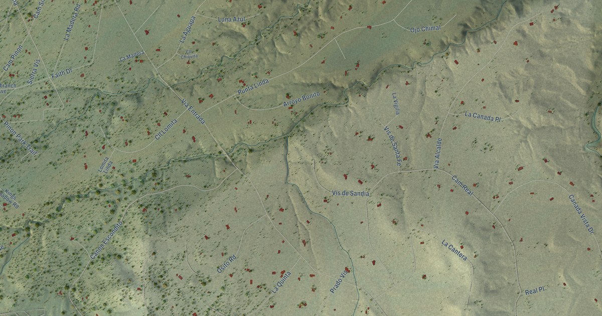
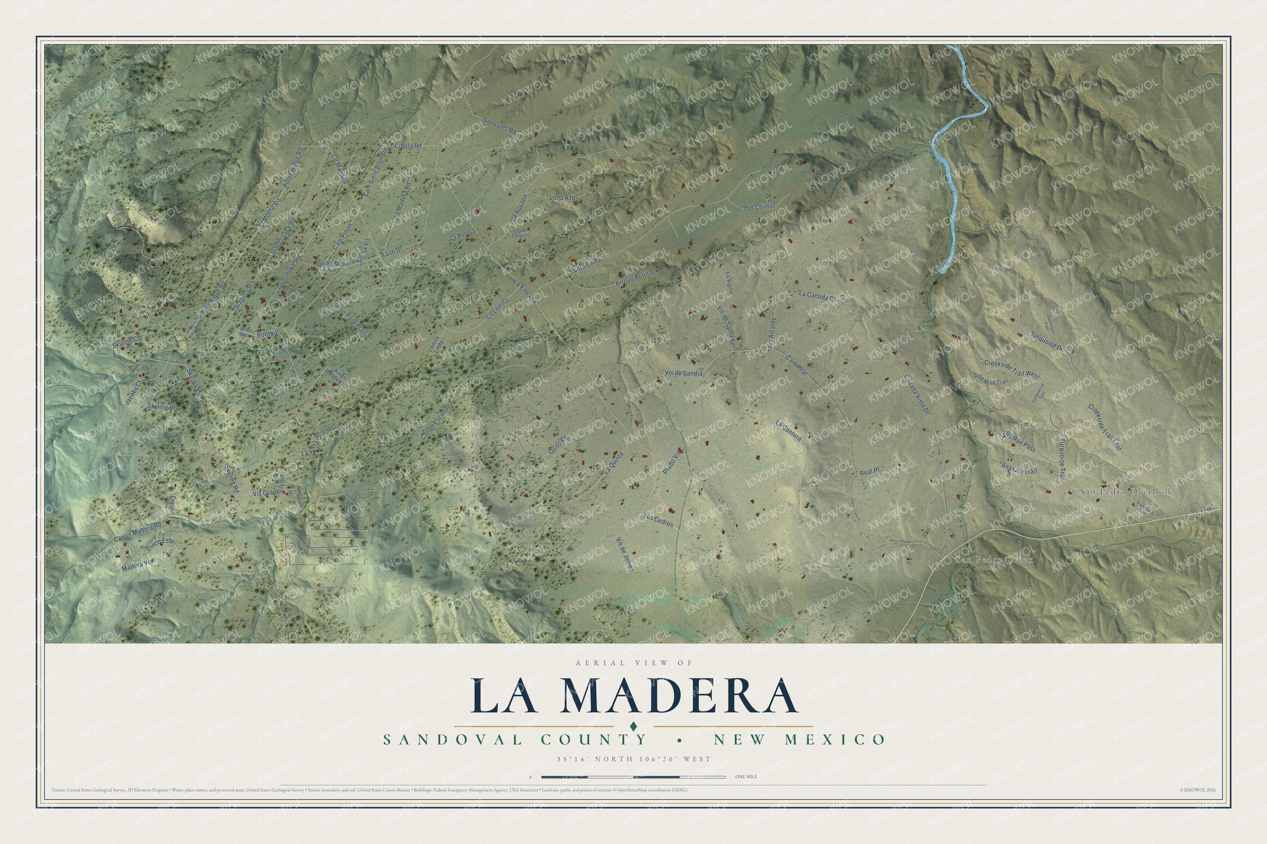
This beautifully detailed map of La Madera, New Mexico was created in 2026 using aerial imagery combined with modern topographical, census, street and landmark data. It's a modern aerial view of La Madera in Sandoval County, New Mexico, that combines modern data with a vintage aesthetic. The roads feature printed names, and if you look closely you can find your exact house accurately shown in its correct location.
Explore an aerial view of La Madera, New Mexico
On this map you'll find San Pedro Overlook, San Pedro Creek, Pinion Ridge Road, Skyline Road, Turquoise Trail, Stagecoach Road, Cll Manana, La Madera Road, Turquoise Drive, Cam Siete Alambre, Cam Pinon, Cibola Road, and more. Each red shape is a building, so zoom in on the preview and look for yours.
La Madera is a community in Sandoval County. The Census Bureau counted 729 people here in 2020. La Madera sits about 2 miles north of Paa-Ko, 5 miles north of Sandia Park and 5 miles north of San Antonito. The map prints the town name in its title panel, with the coordinates below it.
Take a closer look at the La Madera map
Names on this map
These names are printed on this map.
Places: San Pedro Overlook and San Pedro Creek.
Streets and roads: Pinion Ridge Road, Skyline Road, Turquoise Trail, Stagecoach Road, Cll Manana, La Madera Road, Turquoise Drive, Cam Siete Alambre, Cam Pinon, Cibola Road, Gonzales Road, Boothill.
More street names, A to Z
Anasazi Trail, Arroyo Bonito, Boot Hill, Cam Real, Canada Vista Drive, Canon Escondito, Canon Madera Road, Cinco Este, Cll Chiquita, Cll Lomita, Cottonwood Trail, Creekside Trail East, Creekside Trail West, El Monte Vis, Faith Drive, Gold Mine Trail, Gunsmoke Road, Jacobs Court, Kings Meadow Road, La Aguapa, La Canada Place, La Cantera, Laguna Vis, La Madera, La Quinta, La Vigilia, La Vista Grande, Lomita Linda, Longbranch Avenue, Los Cedros, Luna Azul, Madera Vis, Ojo Chimal, Old Rail Pass, Osito Road, Pinon Park Trail, Pinon Ridge Road, Pion Ridge Road, Prado Vis, Punta Linda, Real Place, Sandstone Trail, Sierra Vis, Skylark Lane, Skyline Court, Skyline Place, Stagecoach, Stagecoach Trail, Via Alcalde, Via Entrada, Vis de Jemez, Vis de Sandia, Vis de Santa Fe, Vis Grande, Vista Lane.
See it on a wall
The La Madera, Sandoval County map as a framed print. Swipe for more.


Created by KNOWOL in 2026. The buildings are small red shapes, the roads carry their printed names, and shaded relief shows the shape of the land. The title panel reads "AERIAL VIEW OF LA MADERA, SANDOVAL COUNTY • NEW MEXICO" with 35°14' NORTH 106°20' WEST.
It suits a den, a classroom or a front hall, and it makes a gift for anyone with La Madera roots. Open the preview and find the block you know. See sizes and frames for the La Madera, Sandoval County map.