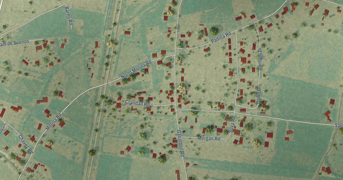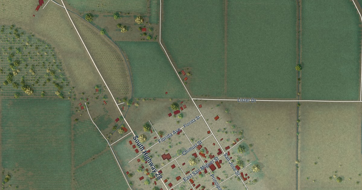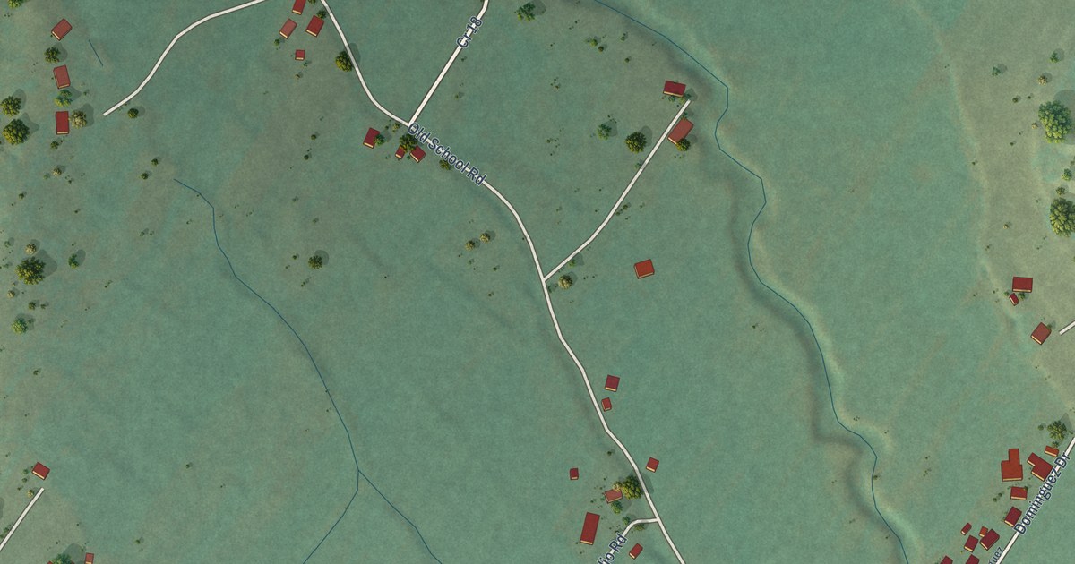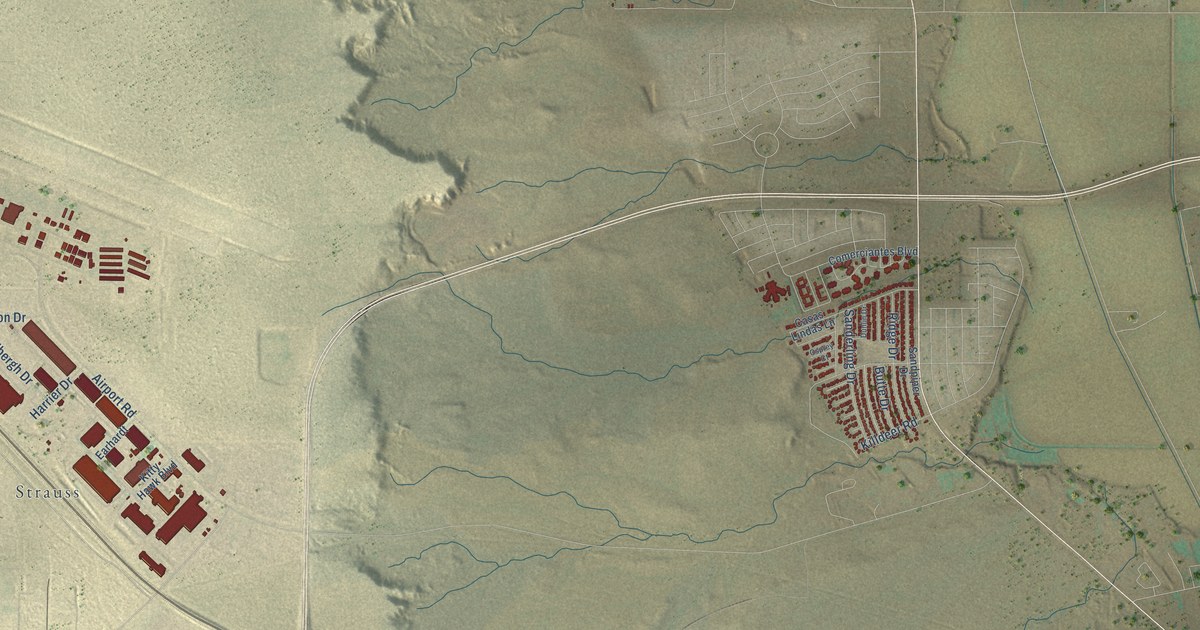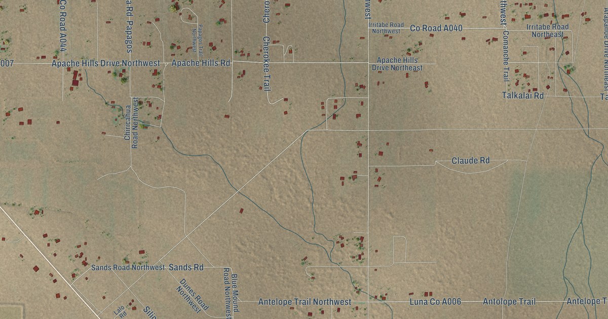
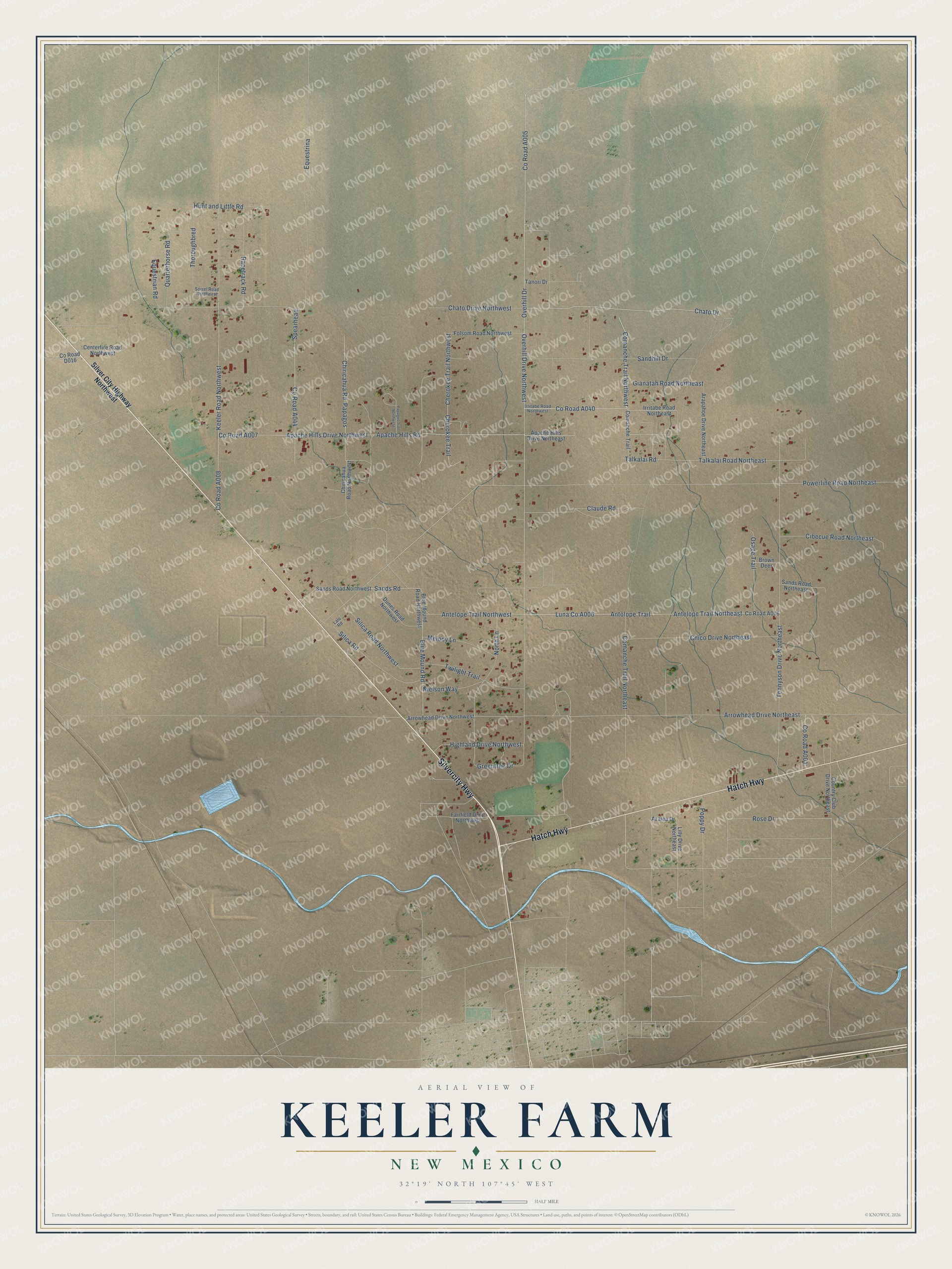
This beautifully detailed map of Keeler Farm, New Mexico was created in 2026 using aerial imagery combined with modern topographical, census, street and landmark data. It's a modern aerial view of Keeler Farm in Luna County, New Mexico, that combines modern data with a vintage aesthetic. The roads feature printed names, and if you look closely you can find your exact house accurately shown in its correct location.
Explore an aerial view of Keeler Farm, New Mexico
On this map you'll find Silvercity Highway, Hatch Highway, Chato Drive, Co Road A040, Overhill Drive Northwest, Comanche Trail Northwest, Co Road A005, Luna Co A006, Rose Drive, North Lane, Chiricahua Road, Hunt and Little Road, and more. Each red shape is a building, so zoom in on the preview and look for yours.
Keeler Farm is a community in Luna County. The Census Bureau counted 1,146 people here in 2020. Keeler Farm sits about 4 miles north of Deming, 6 miles northwest of Pecan Park and 6 miles north of Mountain View. The map prints the town name in its title panel, with the coordinates below it.
Take a closer look at the Keeler Farm map
Names on this map
These names are printed on this map.
Streets and roads: Silvercity Highway, Hatch Highway, Chato Drive, Overhill Drive Northwest, Comanche Trail Northwest, Rose Drive, North Lane, Chiricahua Road, Hunt and Little Road, Greentree Drive, Overhill Drive, Keeler Road Northwest.
More street names, A to Z
Antelope Trail Northeast, Antelope Trail Northwest, Antolope Trail, Apache Hills Drive Northeast, Apache Hills Drive Northwest, Apache Hills Road, Arapahoe Drive Northeast, Arrowhead Drive Northeast, Arrowhead Drive Northwest, Azalea Drive, Blue Mound Road, Blue Mound Road Northwest, Brown Deer, Centerfire Road Northwest, Chato Drive Northwest, Cherokee Trail, Cherokee Trail Northwest, Chico Drive Northeast, Chiricahua Road Northwest, Cibecue Road Northeast, Claude Road, Comanche Trail, Comanche Trail Northeast, Country Club Drive Northeast, Dunes Road Northwest, Equestrian Road, Equestrina, Fairfield Drive Northwest, Folsom Road Northwest, Gianatah Road Northeast, Highland Drive Northwest, Irritabe Road Northeast, Irritabe Road Northwest, Lalo Road, Lilly Drive Northeast, Melody Lane, Nielson Way, Osage Trail, Papagos, Papagos Trail Northwest, Poppy Drive, Powerline Road Northeast, Quarterhorse Road, Racetrack Road, Sandhill Drive, Sands Road, Sands Road Northeast, Sands Road Northwest, Silica Road, Silica Road Northwest, Silver City Highway Northwest, Sorrel Road Northwest, Spearhead, Talkalai Road, Talkalai Road Northeast, Tanori Drive, Tennyson Drive Northeast, Thoroughbred, Twilight Trail.
See it on a wall
The Keeler Farm map as a framed print. Swipe for more.


Created by KNOWOL in 2026. The buildings are small red shapes, the roads carry their printed names, and shaded relief shows the shape of the land. The title panel reads "AERIAL VIEW OF KEELER FARM, NEW MEXICO" with 32°19' NORTH 107°45' WEST.
It looks right in a kitchen, an office or a den, and it's a gift for anyone who grew up in Keeler Farm or moved away. Open the preview and find your street. See sizes and frames for the Keeler Farm map.