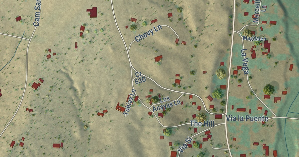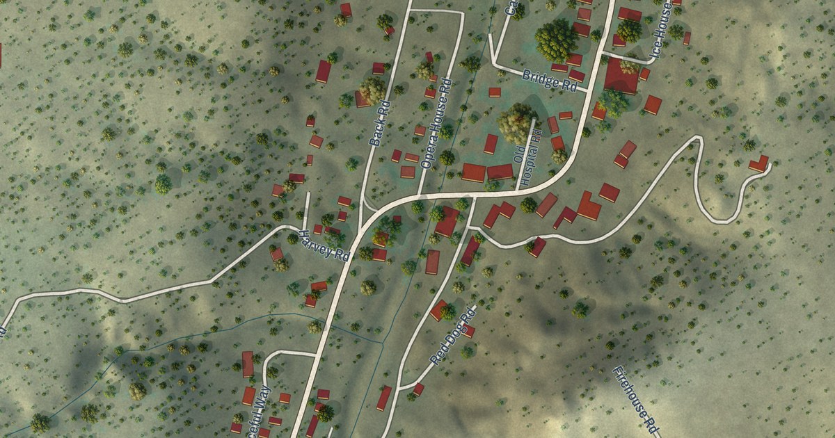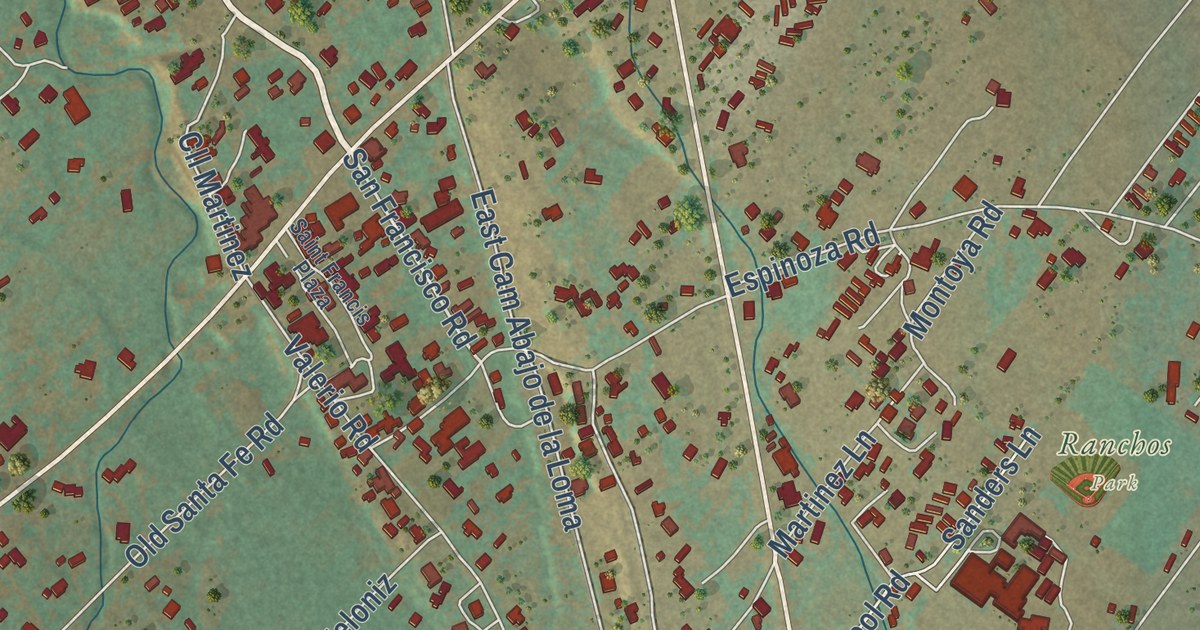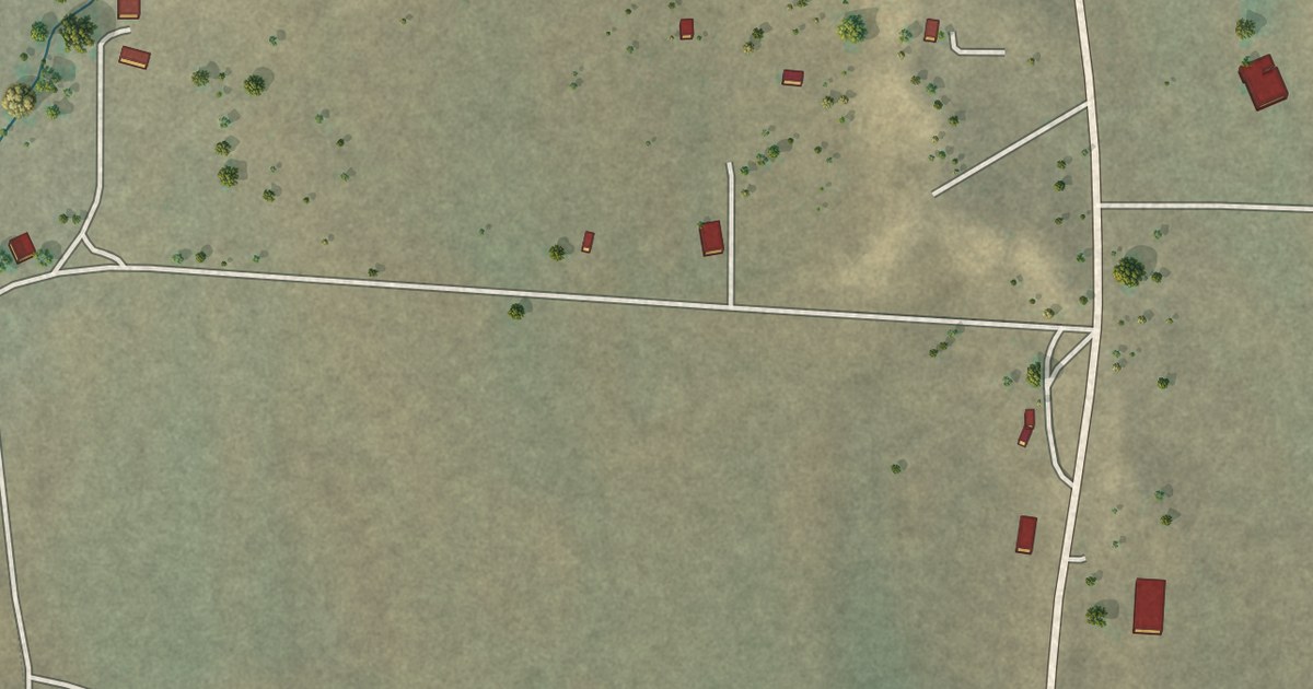
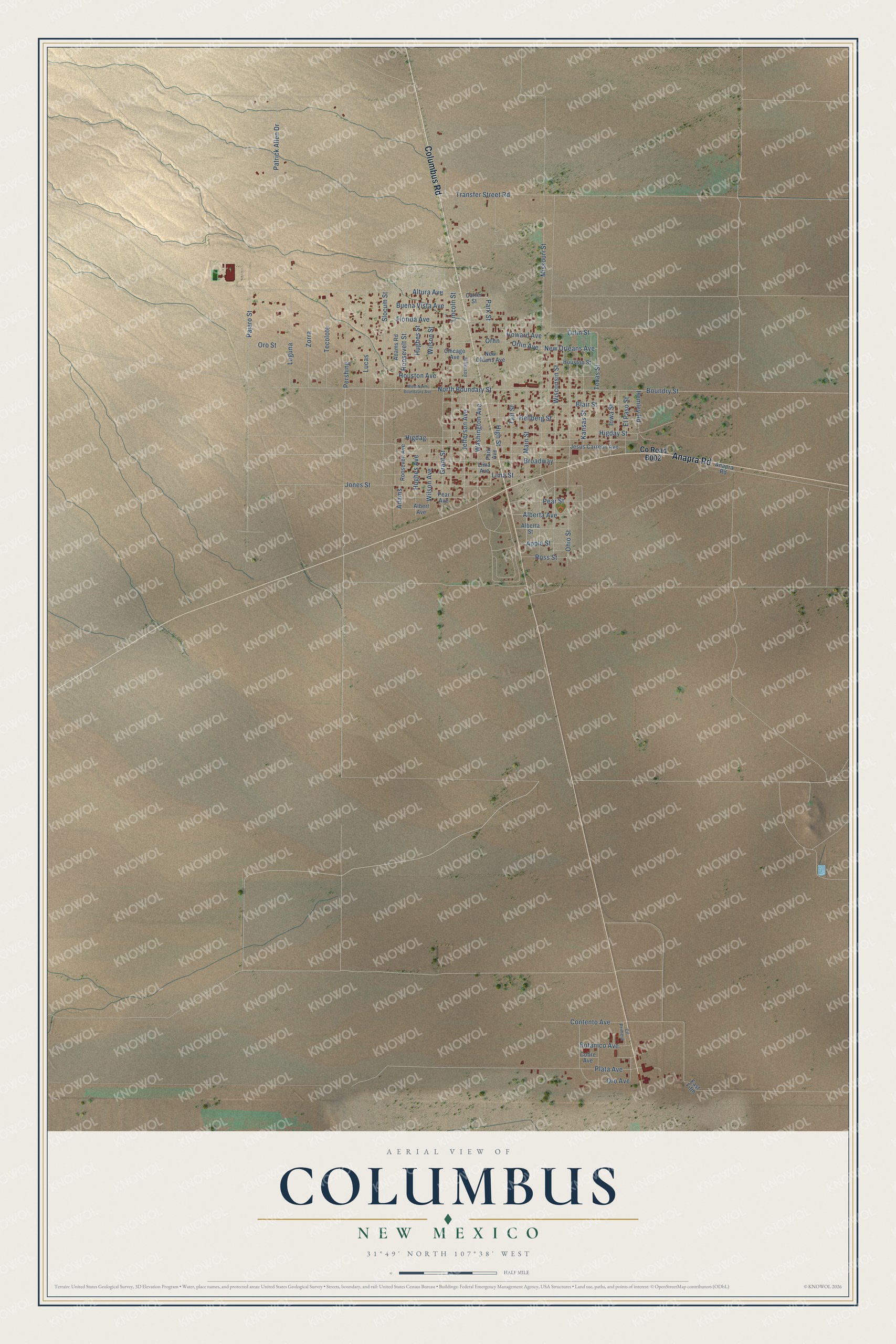
This beautifully detailed map of Columbus, New Mexico was created in 2026 using aerial imagery combined with modern topographical, census, street and landmark data. It’s a one-of-a-kind view of Columbus that combines accurate data with a vintage aesthetic. The map shows every building in its true location, many of the roads carry their names, and the shaded topographic relief shows the shape of the land.
Explore an aerial view of Columbus, New Mexico
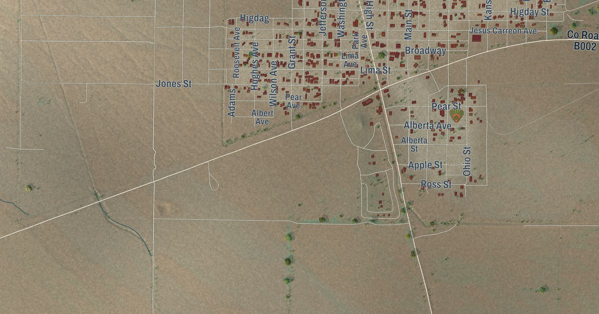
On the map you’ll find Pershing, along with Columbus Road, Anapra Road, North Boundary Street, Boundry Street, New Orleans Avenue, Wisconsin Street, Orlin Street, Grant Street, Jefferson Avenue, Altura Avenue, Pear Street, and more. If you look closely you can even find your house accurately drawn in its correct location. Zoom in on the preview to look for yours.
Did you know this about Columbus, New Mexico?
From the Historical Marker Database: "Ruins of Camp Furlong, headquarters for General John Pershing's expeditionary force, still exist at the park. The old Columbus Customs Service building has been restored to house exhibits about the raid and Pershing's Punitive Expedition into Mexico in pursuit of Pancho Villa and his raiders."
Take a closer look at the Columbus map
Street names on the Columbus, New Mexico map
These names are printed on the map of Columbus, New Mexico.
Streets and roads: Columbus Road, Anapra Road, Pershing, North Boundary Street, Boundry Street, New Orleans Avenue, Wisconsin Street, Orlin Street, Grant Street, Jefferson Avenue, Altura Avenue, Pear Street.
More street names, A to Z
Adams, Adams Road, Alberta Avenue, Alberta Street, Albert Avenue, Apple Street, Blair Street, Botanico Avenue, Broadway, Buena Vista Avenue, Carter Street, Chicago Avenue, Cll Primera, Cobre Avenue, Contento Avenue, East Fifth, El Paso Street, Florida Avenue, Hellberg Street, Hemley Road, Higdag, Higday Street, High Street, Houston Avenue, Houston Street, Howard Avenue, Hughes Avenue, Hughes Street, Iowa Street, Jefferson, Jesus Carreon Avenue, Jones Street, Kansas Street, Laguna, Lima Avenue, Lima Street, Lincoln Street, Lucas, Main Street, Missouri Street, New Oleans Avenue, Ohio Street, Orlin, Orlin Avenue, Oro Avenue, Oro Street, Pajaro Street, Park Avenue, Park Street, Patrick Allen Drive, Pear Avenue, Plata Avenue, Roosevelt Avenue, Roosevelt Street, Ross Street, Slocum Street, Taft Street, Tecolote, Texas Street, Transfer Street Road, Washington Avenue, West North Boundaary Avenue, Wilson Avenue, Wilson Street, Zorra.
See the Columbus, New Mexico map on a wall
The Columbus map as an 18 x 24 inch print in a black frame.

This beautifully detailed map of Columbus makes an attractive addition to your office, library, or den, and it can even be used to teach children the geography and history of the area. It also makes a great gift for anyone who grew up in Columbus or moved away. When you’re done exploring, click here to get your copy of the Columbus map.