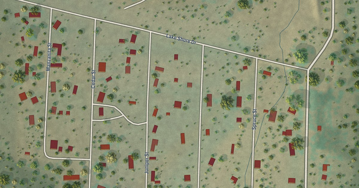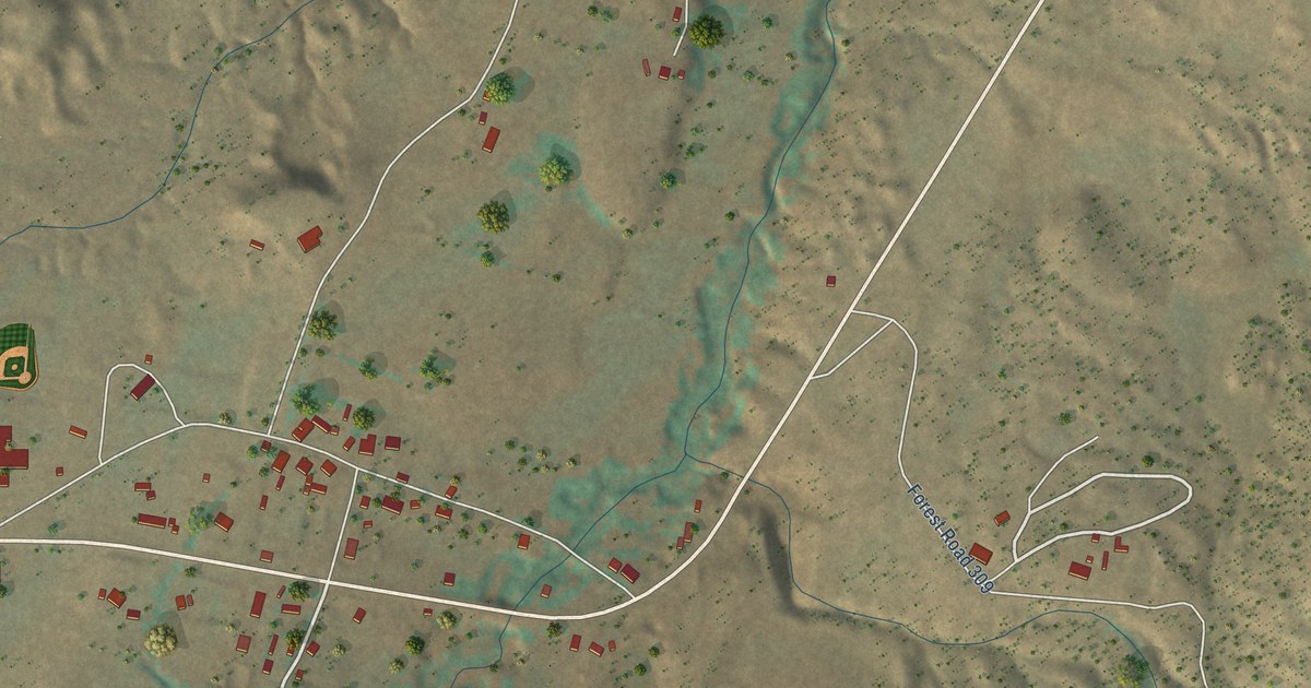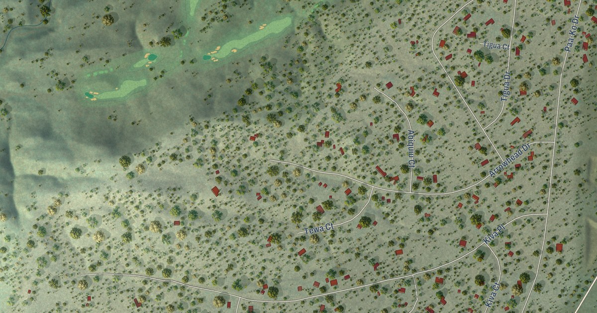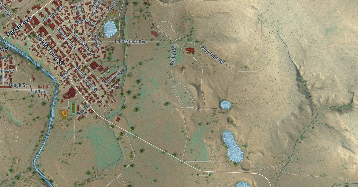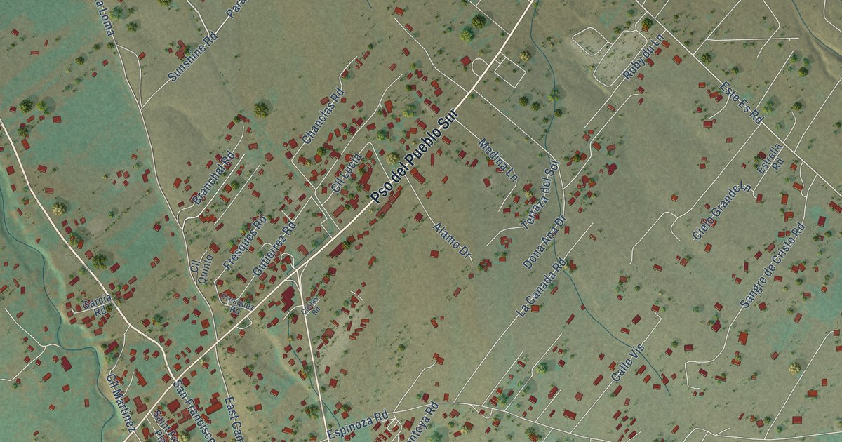
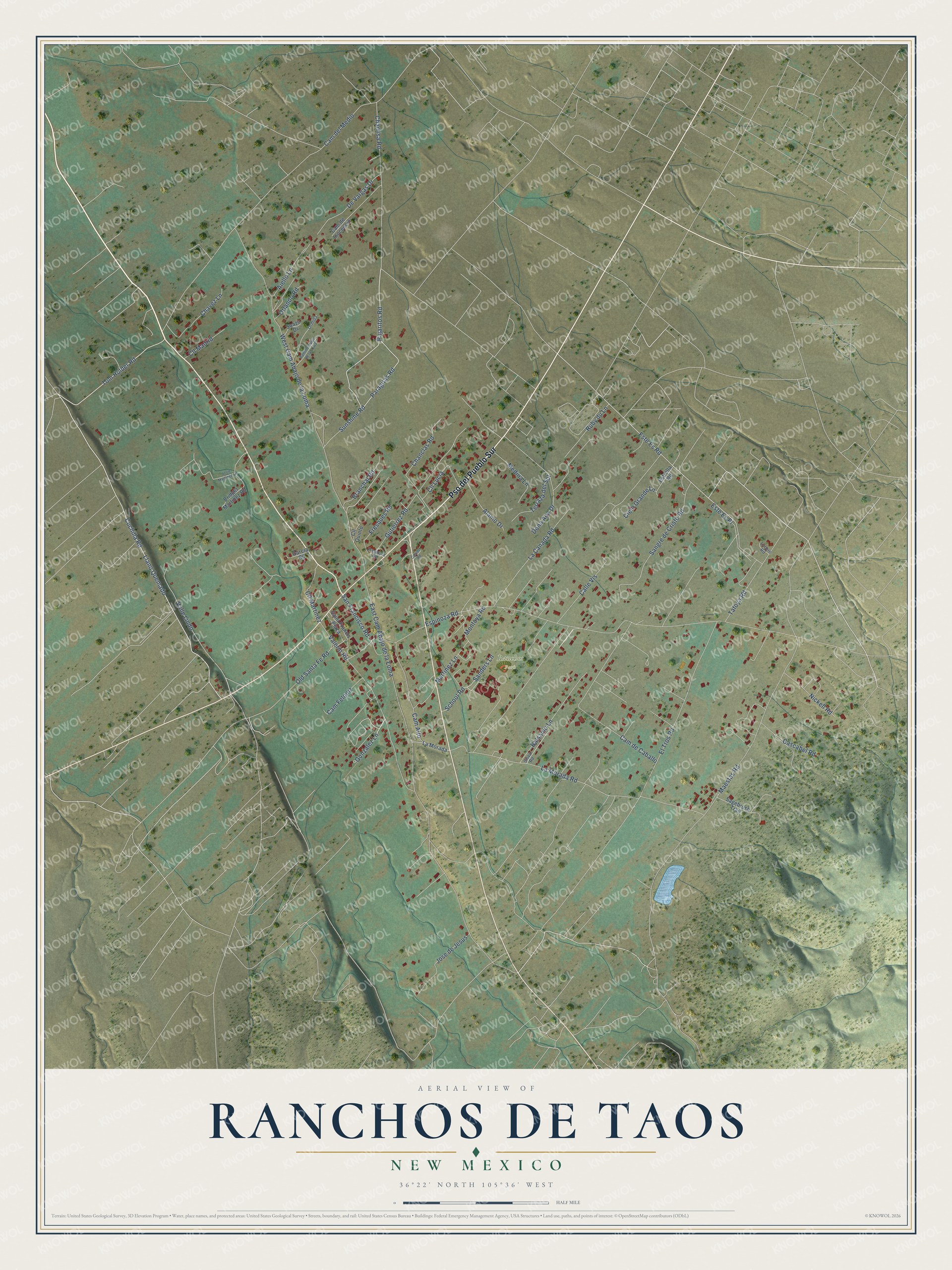
This beautifully detailed map of Ranchos de Taos, New Mexico was created in 2026 using aerial imagery combined with modern topographical, census, street and landmark data. It's a modern aerial view of Ranchos de Taos in Taos County, New Mexico, that combines modern data with a vintage aesthetic. The roads feature printed names, and if you look closely you can find your exact house accurately shown in its correct location.
Explore an aerial view of Ranchos de Taos, New Mexico
On this map you'll find Ranchos Park, Pso del Pueblo Sur, Este Es Road, Llano Quemado, Chamisa Road, Pajaritos Road, Tom Holder Road, Valle Lindo, Paragitas Road, Gonzalez Lane, San Francisco Road, Espinoza Road, and more. Each red shape is a building, so zoom in on the preview and look for yours.
Ranchos de Taos is a community in Taos County. The Census Bureau counted 2,707 people here in 2020. Ranchos de Taos sits about 2 miles north of Talpa, 7 miles south of Taos Pueblo and 11 miles south of Arroyo Seco. The map prints the town name in its title panel, with the coordinates below it.
Take a closer look at the Ranchos de Taos map
Names on this map
These names are printed on this map.
Places: Ranchos Park.
Streets and roads: Pso del Pueblo Sur, Este Es Road, Llano Quemado, Chamisa Road, Pajaritos Road, Tom Holder Road, Valle Lindo, Paragitas Road, Gonzalez Lane, San Francisco Road, Espinoza Road, West Cam Abajo de la Loma.
More street names, A to Z
Aamino Abajo de la Loma, Aiello Lane, Alamo Drive, Balsamo Lane, Branchal Road, Bridget Martinez Road, Calle Vis, Cam Alto, Cam de Caballo, Cam de Inocencio, Cam del Medio, Cam Feloniz, Cascabel Road, Casias Road, Chanclas Road, Chavez Lane, Cielo Grande Lane, Cll Lucia, Cll Madrid, Cll Martinez, Cll Quinto, Cuchilla Road, De Vargas Drive, Dona Ana Drive, East Cam Abajo de la Loma, El Tros Road, Este Es Place, Estrella Road, Fresques Road, Fresquez Road, Garcia Road, Gutierrez Road, Jose de Jesus, Josie Martinez Lane, La Canada Road, La Morada, La Morada Road, Lucero Road, Maestas Road, Martinez Lane, Medina Lane, Montoya Road, Nickell Road, Old Santa Fe Road, Orlando Road, Ormida, Ruby du Lane, Sagebrush Trail, Saint Francis Plaza, Sanders Lane, Sangre de Cristo Road, School Road, Sisco Road, Suazo Drive, Sunshine Road, Tafoya Road, Terraza del Sol, Valerio Road.
See it on a wall
The Ranchos de Taos map as a framed print. Swipe for more.


Created by KNOWOL in 2026. The buildings are small red shapes, the roads carry their printed names, and shaded relief shows the shape of the land. The title panel reads "AERIAL VIEW OF RANCHOS DE TAOS, NEW MEXICO" with 36°22' NORTH 105°36' WEST.
It looks right in a kitchen, an office or a den, and it's a gift for anyone who grew up in Ranchos de Taos or moved away. Open the preview and find your street. See sizes and frames for the Ranchos de Taos map.