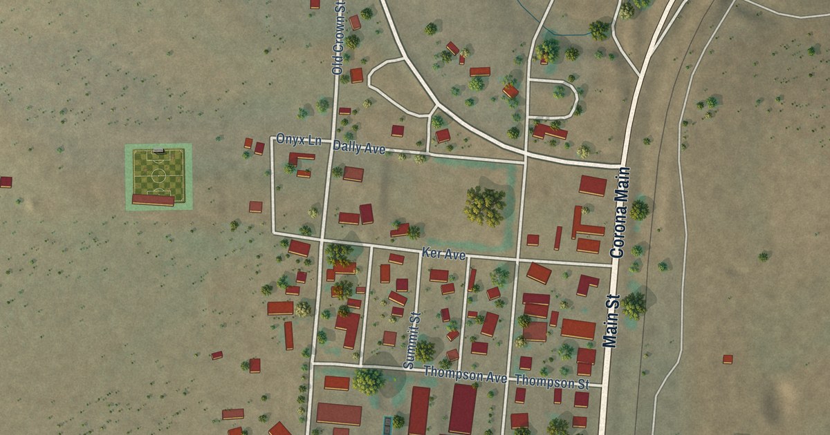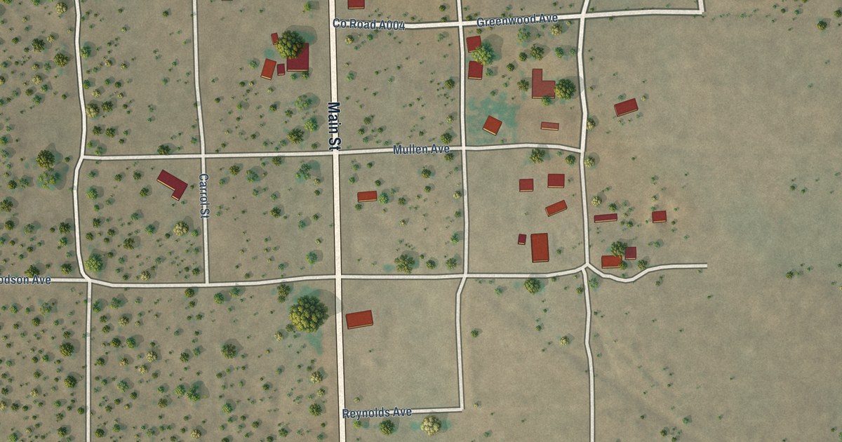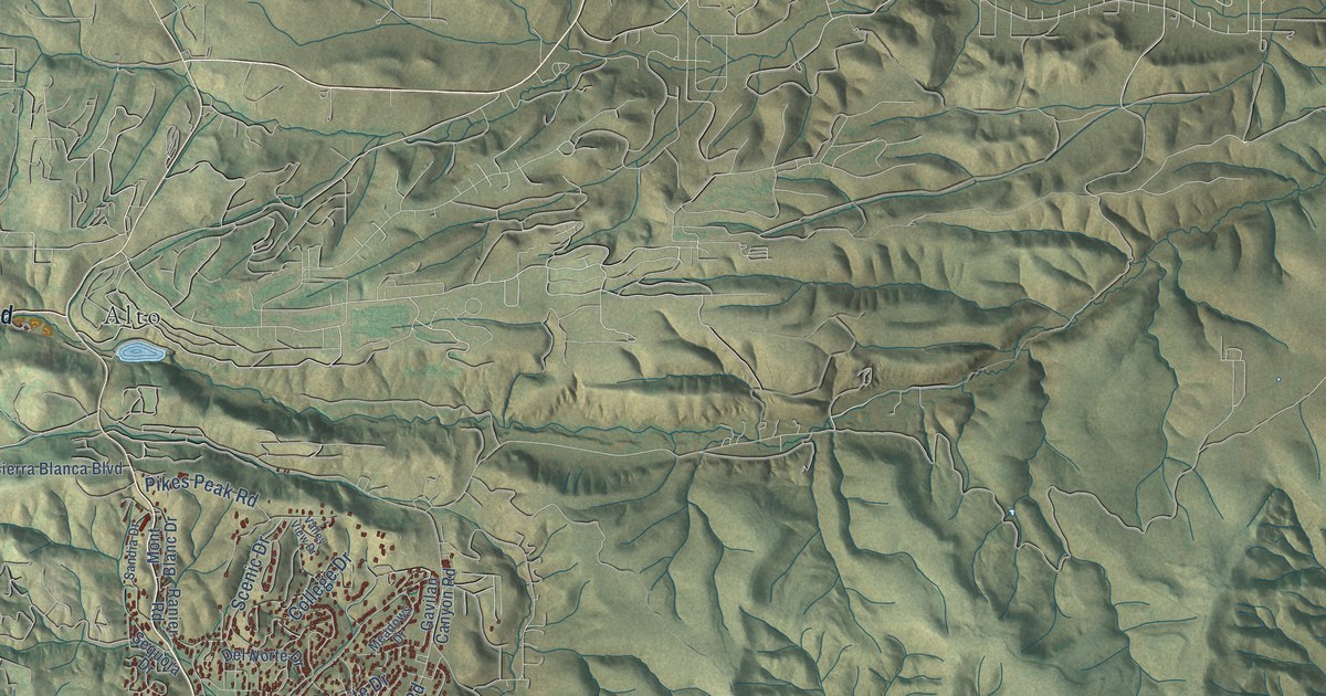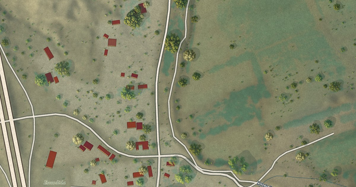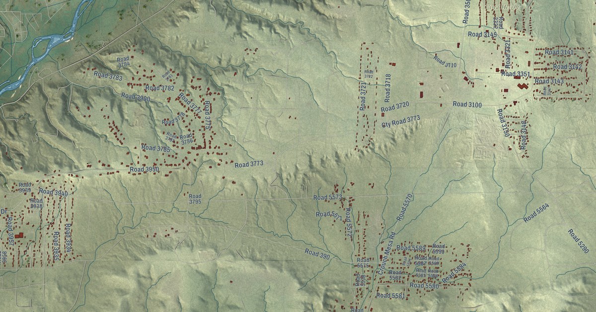
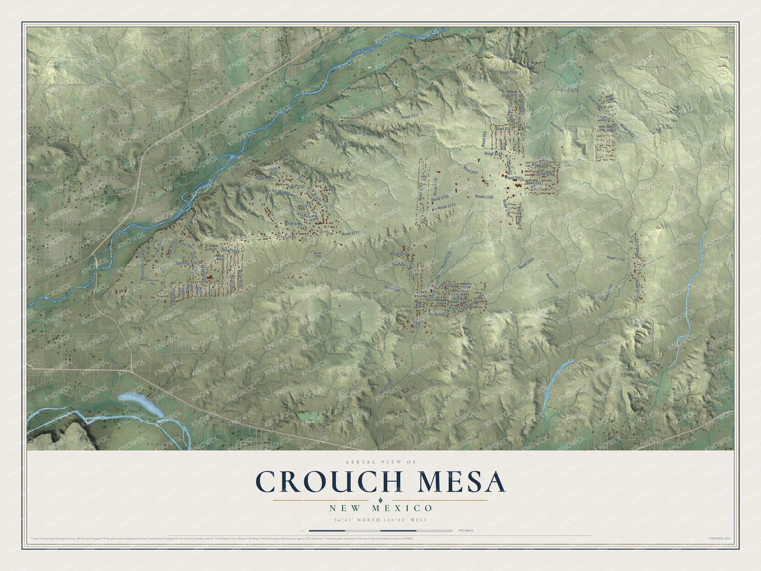
This beautifully detailed map of Crouch Mesa, New Mexico was created in 2026 using aerial imagery combined with modern topographical, census, street and landmark data. It's a modern aerial view of Crouch Mesa in San Juan County, New Mexico, that combines modern data with a vintage aesthetic. The roads feature printed names, and if you look closely you can find your exact house accurately shown in its correct location.
Explore an aerial view of Crouch Mesa, New Mexico
On this map you'll find Vista Heights, Road 5584, Road 3900, Road 5569, Road 5572, Road 3100, Road 5564, Road 3320, Road 3720, Crouch Mesa Road, Road 5570, Cty Road 3773, and more. Each red shape is a building, so zoom in on the preview and look for yours.
Crouch Mesa is a community in San Juan County. The Census Bureau counted 5,257 people here in 2020. Crouch Mesa sits about 3 miles southwest of South River, 3 miles northwest of Lee Acres and 4 miles south of Flora Vista. The map prints the town name in its title panel, with the coordinates below it.
Take a closer look at the Crouch Mesa map
Names on this map
These names are printed on this map.
Places: Vista Heights.
Streets and roads: Road 5584, Road 3900, Road 5569, Road 5572, Road 3100, Road 5564, Road 3320, Road 3720, Crouch Mesa Road, Road 5570, Cty Road 3773, Morning Star Drive.
More street names, A to Z
Enchantment Way, Moonlight Mesa Drive, Road 350, Road 390, Road 3000, Road 3119, Road 3140, Road 3141, Road 3142, Road 3143, Road 3145, Road 3147, Road 3148, Road 3150, Road 3179, Road 3180, Road 3181, Road 3183, Road 3184, Road 3185, Road 3186, Road 3315, Road 3321, Road 3322, Road 3323, Road 3351, Road 3692, Road 3710, Road 3718, Road 3721, Road 3722, Road 3773, Road 3775, Road 3777, Road 3778, Road 3781, Road 3782, Road 3783, Road 3784, Road 3785, Road 3786, Road 3787, Road 3795, Road 3934, Road 3935, Road 3938, Road 3939, Road 3940, Road 3942, Road 3944, Road 3950, Road 3953, Road 3957, Road 3958, Road 3959, Road 3961, Road 3962, Road 5030, Road 5290, Road 5292, Road 5293, Road 5294, Road 5571, Road 5573, Road 5575, Road 5577, Road 5578, Road 5580, Road 5581, Road 5582, Road 5585, Road 5586, Road 5587, Road 5588, Road 5589, Road 5590, Road 5591, Road 33200, Williams Drive, Wolf Court.
See it on a wall
The Crouch Mesa map as a framed print. Swipe for more.


Created by KNOWOL in 2026. The buildings are small red shapes, the roads carry their printed names, and shaded relief shows the shape of the land. The title panel reads "AERIAL VIEW OF CROUCH MESA, NEW MEXICO" with 36°45' NORTH 108°05' WEST.
Hang it in the hallway, the office or the cabin, or give it to someone who left Crouch Mesa and still calls it home. Open the preview and look for a street you know. See sizes and frames for the Crouch Mesa map.