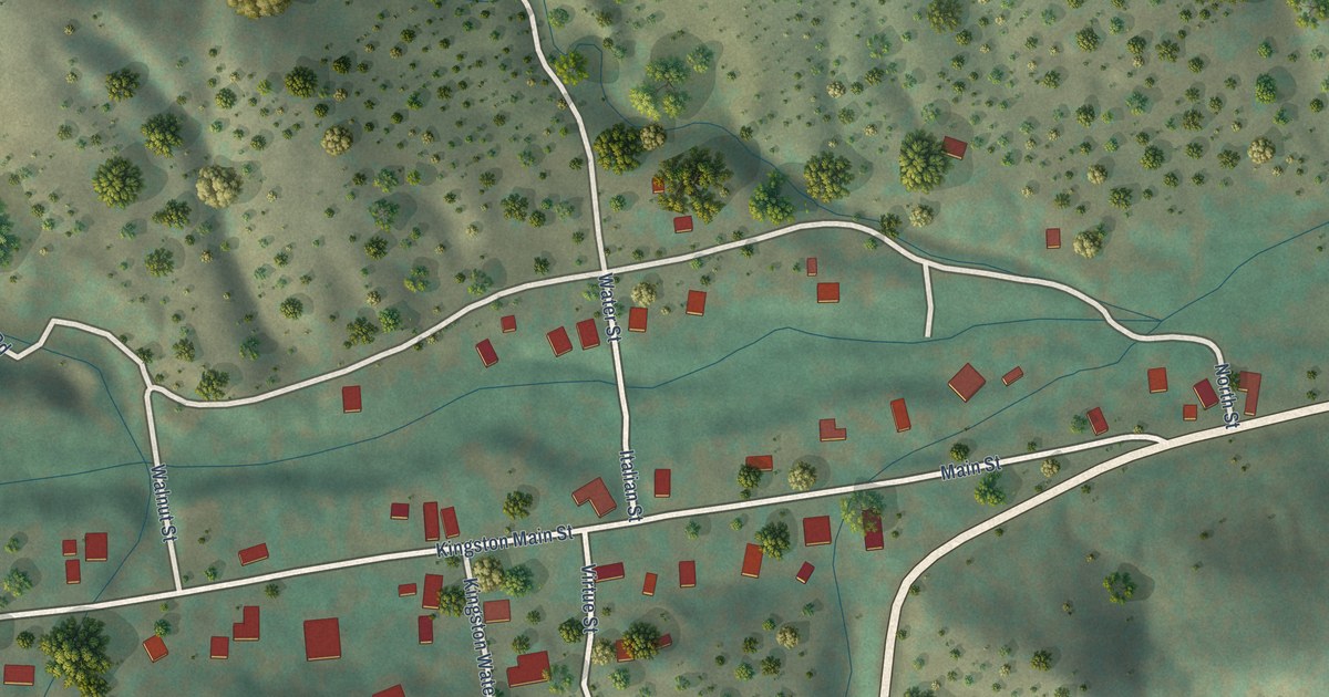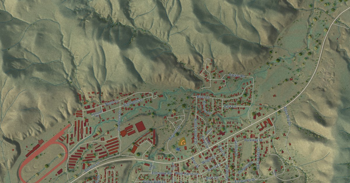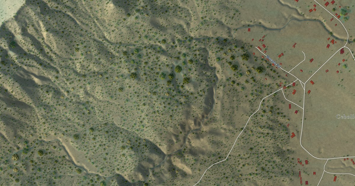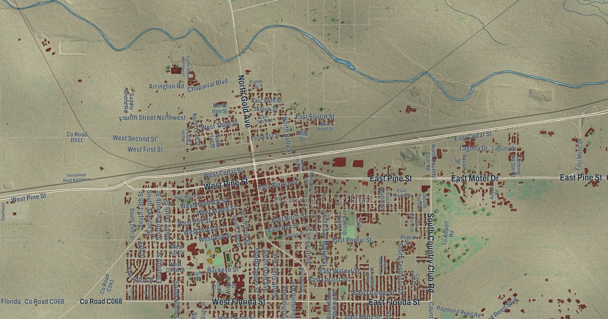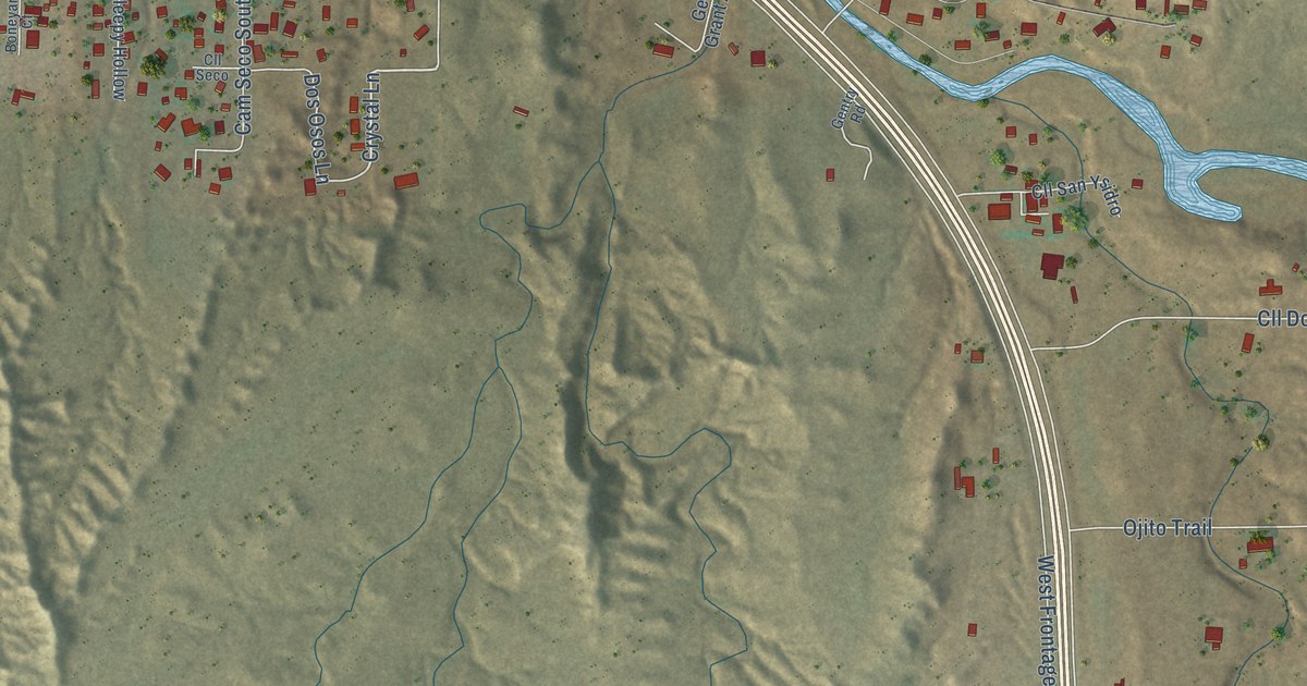
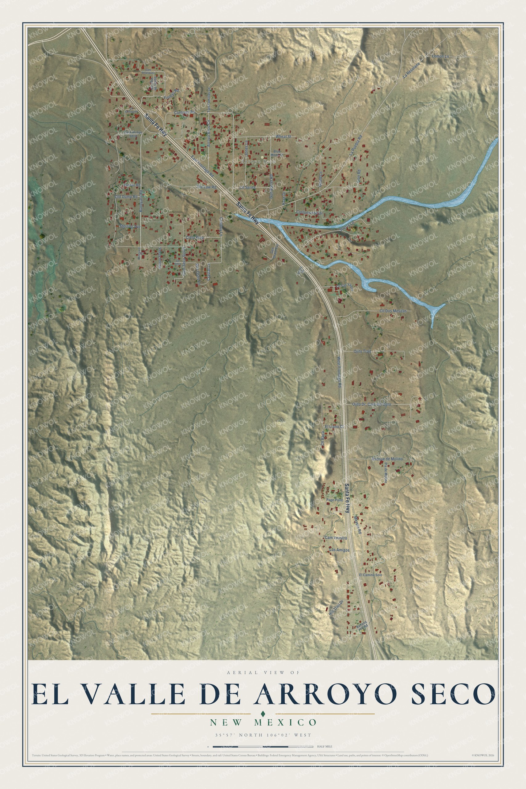
This beautifully detailed map of El Valle de Arroyo Seco, New Mexico was created in 2026 using aerial imagery combined with modern topographical, census, street and landmark data. It's a modern aerial view of El Valle de Arroyo Seco in Santa Fe County, New Mexico, that combines modern data with a vintage aesthetic. The roads feature printed names, and if you look closely you can find your exact house accurately shown in its correct location.
Explore an aerial view of El Valle de Arroyo Seco, New Mexico
On this map you'll find Arroyo Seco, Santa Fe Highway, Jones Lane, Crystal Lane, East Frontage Road, West Frontage Road, La Puebla Road, Arroyo Seco Circle, Boneyard Road, La Resolana, Cam del Ojito, Ojito Drive, and more. Each red shape is a building, so zoom in on the preview and look for yours.
El Valle de Arroyo Seco is a community in Santa Fe County. The Census Bureau counted 1,431 people here in 2020. El Valle de Arroyo Seco sits about 2 miles south of Sombrillo, 2 miles east of La Mesilla and 3 miles south of Cuartelez. The map prints the town name in its title panel, with the coordinates below it.
Take a closer look at the El Valle de Arroyo Seco map
Names on this map
These names are printed on this map.
Places: Arroyo Seco.
Streets and roads: Santa Fe Highway, Jones Lane, Crystal Lane, East Frontage Road, West Frontage Road, La Puebla Road, Arroyo Seco Circle, Boneyard Road, La Resolana, Cam del Ojito, Ojito Drive, Cll Dos Mesitas.
More street names, A to Z
Avenue de Molino, Banana Hill Road, Blue Moon Court, Boneyard Court, Cam Arroyo Seco, Cam Seco South, Cam Velasquez, Cam Veustro, Cielo Rojo, Cll Baca, Cll Chiripada, Cll San Ysidro, Cll Seco, Cll Serna, Contract Road, Cottonwood Drive, Cowboy Lane, Dos Osos Lane, El Camino Solo, El Llano Court, Finleys Road, Gen Grant Avenue, Gentry Road, Gould Lane, Gun Barrel Road, Haze Drive, Hill Trail Drive, Honcho Road, Lemon Lane, Lion Road, Los Amigos, Meyers Road, Ojito Trail, Old Dump Road, Page Point, Pla de Molino, Sherry Lane, Sleepy Hollow, Sterling Avenue, Sueno de Vigil Road, The Law Road, Tres Familias Lane, Wheat Street.
See it on a wall
The El Valle de Arroyo Seco map as a framed print. Swipe for more.


Created by KNOWOL in 2026. The buildings are small red shapes, the roads carry their printed names, and shaded relief shows the shape of the land. The title panel reads "AERIAL VIEW OF EL VALLE DE ARROYO SECO, NEW MEXICO" with 35°57' NORTH 106°02' WEST.
It suits a den, a classroom or a front hall, and it makes a gift for anyone with El Valle de Arroyo Seco roots. Open the preview and find the block you know. See sizes and frames for the El Valle de Arroyo Seco map.