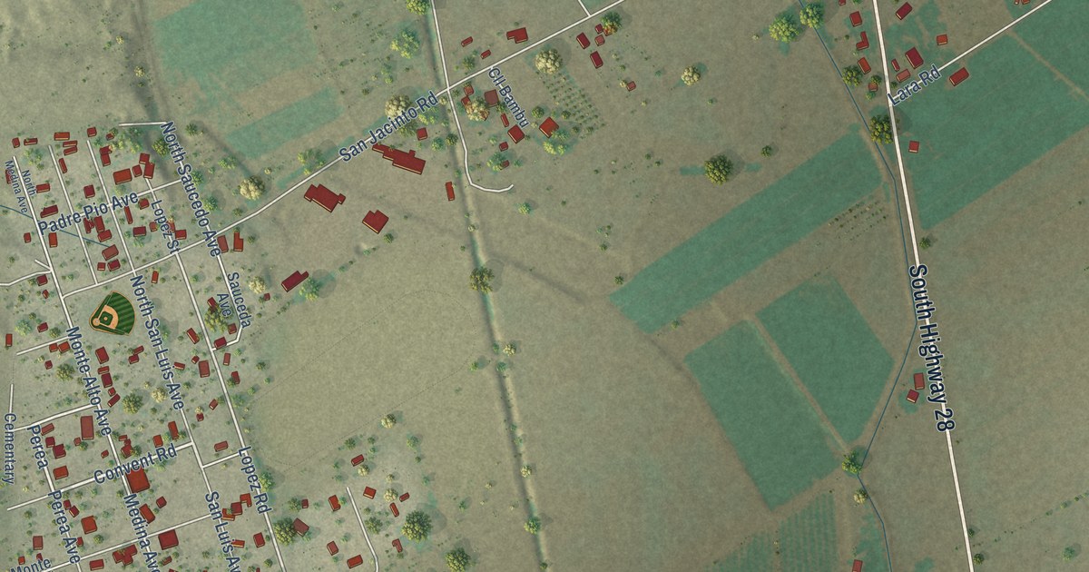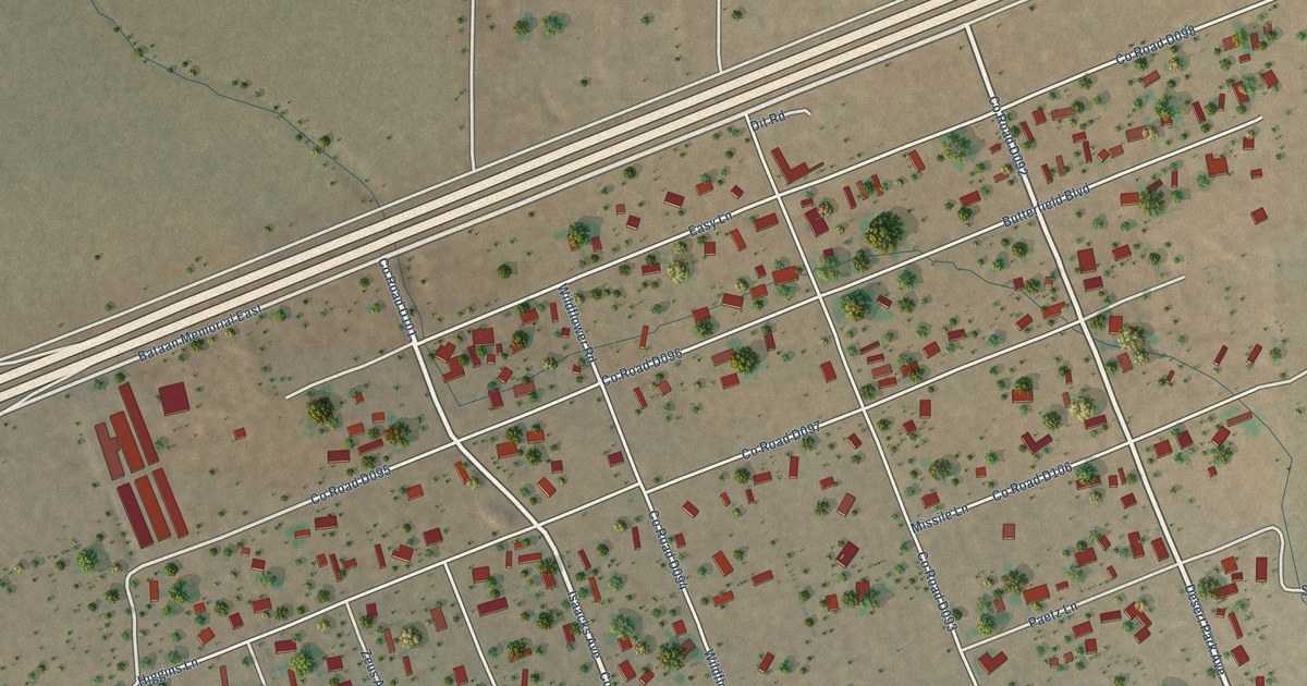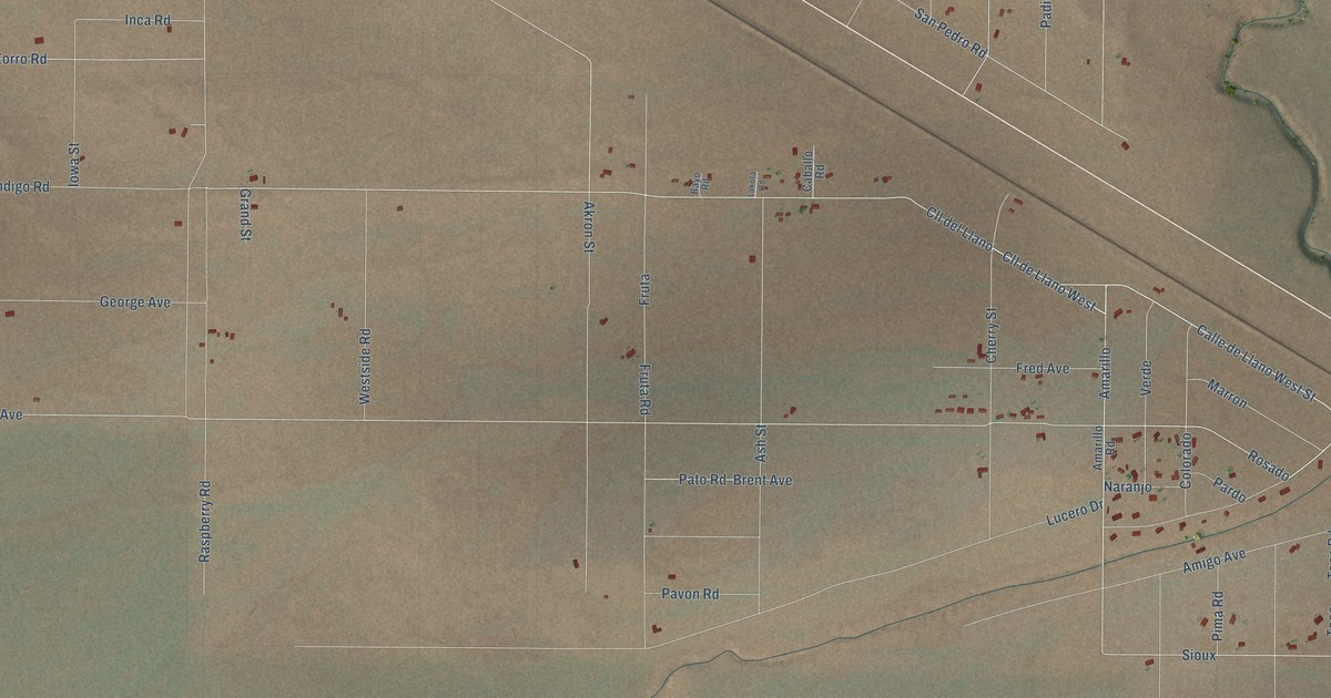
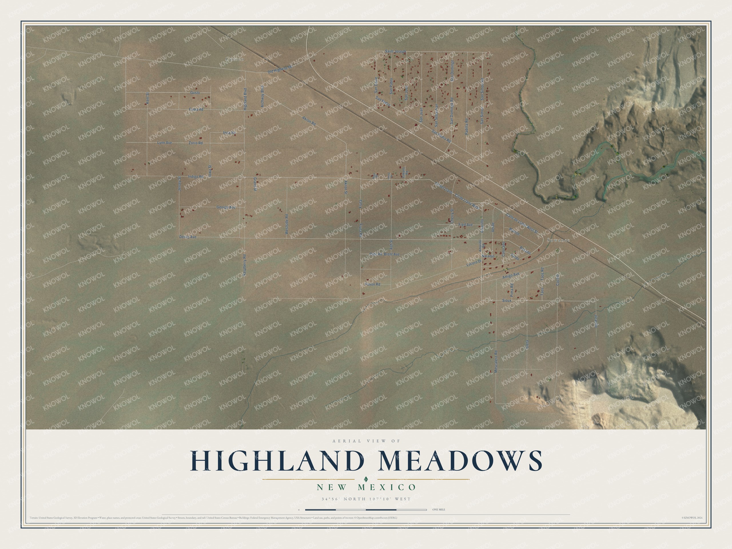
This beautifully detailed map of Highland Meadows, New Mexico was created in 2026 using aerial imagery combined with modern topographical, census, street and landmark data. It's a modern aerial view of Highland Meadows in Valencia County, New Mexico, that combines modern data with a vintage aesthetic. The roads feature printed names, and if you look closely you can find your exact house accurately shown in its correct location.
Explore an aerial view of Highland Meadows, New Mexico
On this map you'll find Suwanee, Correo, Calle de Llano West Street, Rosado, Cll de Llano West, Cll del Llano, Amarillo, Fama Road, Denny Avenue, Sioux, Old Highway 66, Gusto, and more. Each red shape is a building, so zoom in on the preview and look for yours.
Here is a piece of Highland Meadows history. The old railroad and Route 66 stop of Suwanee began as a Santa Fe Railway depot called San Jose. It was renamed Suwanee in 1902 because Oklahoma already had a San Jose station, and the post office that opened in 1917 was named Correo, Spanish for mail. The local school was a railroad boxcar. Local people used both names, Correo and Suwanee. In 1937 Route 66 moved to a shorter road that linked Laguna through Correo and Suwanee to Albuquerque. That's from the Route 66 history site TheRoute-66.com.
Highland Meadows is a community in Valencia County. The Census Bureau counted 568 people here in 2020.
Take a closer look at the Highland Meadows map
Names on this map
These names are printed on this map.
Places: Suwanee and Correo.
Streets and roads: Calle de Llano West Street, Rosado, Cll de Llano West, Cll del Llano, Amarillo, Fama Road, Denny Avenue, Sioux, Old Highway 66, Gusto, Inca Road, Akron Street.
More street names, A to Z
Akron Road, Amarillo Road, Amigo Avenue, Archway Boulevard, Ash Street, Bayo Road, Brent Avenue, Caballo Road, Cherry Street, Cochiti, Colorado, Fred Avenue, Fruta, Fruta Road, George Avenue, Grand Street, Highland Boulevard, Indigo Road, Iowa Street, Isleta, Jersey Street, Jicarillo, Kent Street, Lakota Road, Lucero Drive, Lynn Avenue, Marron, Mescalero Road, Naranjo, Padilla Road, Pardo, Pato Road, Pavon Road, Pima Road, Raspberry Road, Saint Joseph, San Davie, San Domingo, San Domingo Road, San Jose, San Juan, San Pablo, San Pedro, San Pedro Road, San Sebastian, San Simon, San Simon Road, Taos, Taos Road, Verde, Westside Road, Zorro Road.
See it on a wall
The Highland Meadows map as a framed print. Swipe for more.


Created by KNOWOL in 2026. The buildings are small red shapes, the roads carry their printed names, and shaded relief shows the shape of the land. The title panel reads "AERIAL VIEW OF HIGHLAND MEADOWS, NEW MEXICO" with 34°56' NORTH 107°10' WEST.
It suits a den, a classroom or a front hall, and it makes a gift for anyone with Highland Meadows roots. Open the preview and find the block you know. See sizes and frames for the Highland Meadows map.