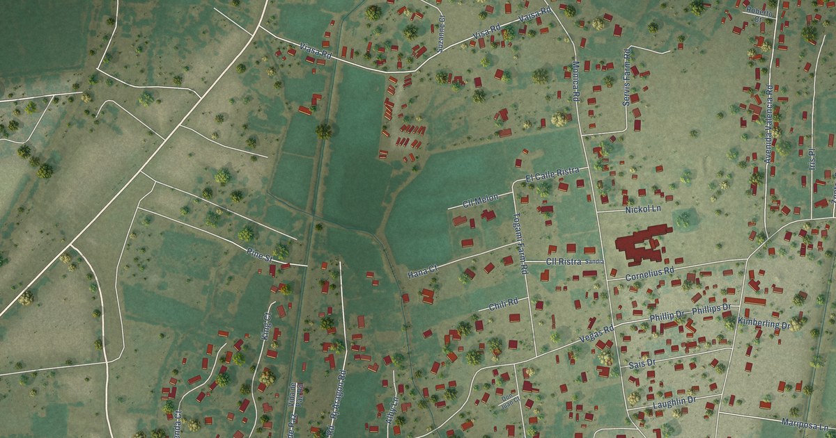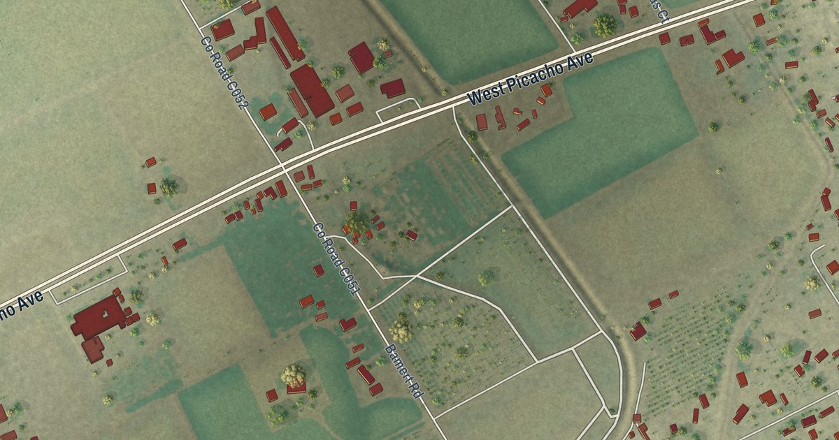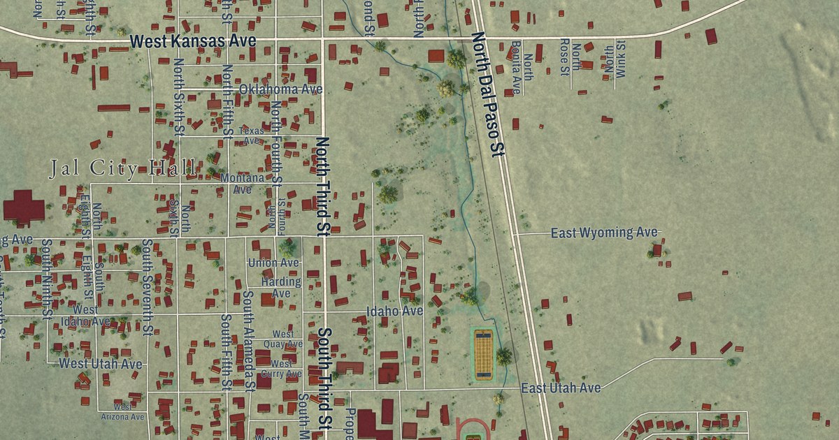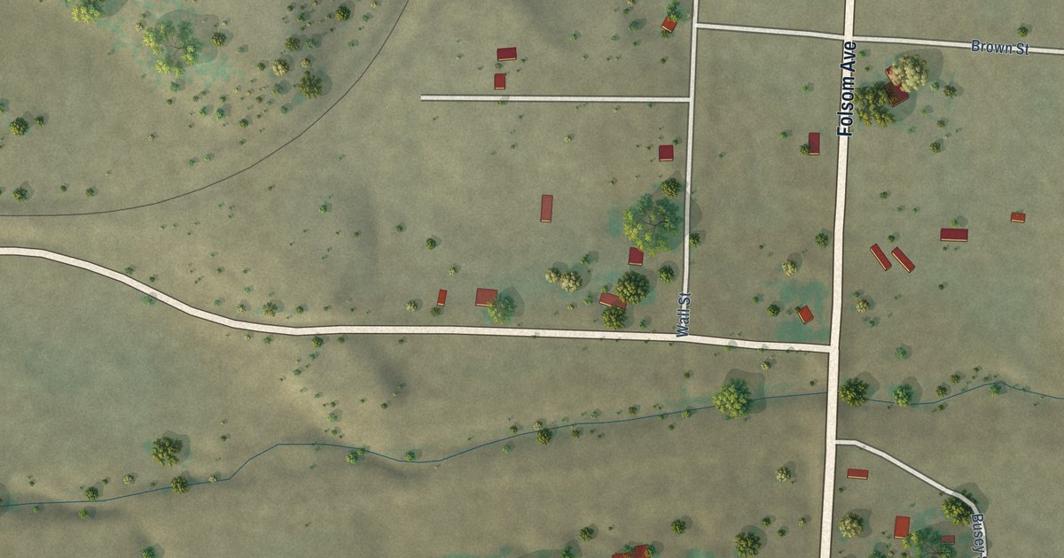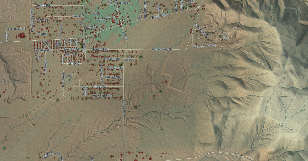
This beautifully detailed map of La Luz, New Mexico was created in 2026 using aerial imagery combined with modern topographical, census, street and landmark data. It's a modern aerial view of La Luz in Otero County, New Mexico, that combines modern data with a vintage aesthetic. The roads feature printed names, and if you look closely you can find your exact house accurately shown in its correct location.
Explore an aerial view of La Luz, New Mexico
On this map you'll find North White Sands Boulevard, Highway 54 70, Laborcita Canyon Road, Co Road A59, Main Street, A-046, Valley View Drive, Poplar Drive, La Luz Road, A-089, Co Road A60, Wiley Drive, and more. Each red shape is a building, so zoom in on the preview and look for yours.
La Luz has a story worth telling. Settlers came to La Luz around 1860 from villages along the Rio Grande that floods had ruined. Stories of the name vary: a 1719 Franciscan chapel to Nuestra Senora de la Luz, a will o' the wisp in the canyon, a lamp kept burning in an old woman's home, or a signal fire the men left for the women. When the women saw that fire, the story goes, they called out that there was the light. That's from the New Mexico Historic Preservation Division.
La Luz is a community in Otero County. The Census Bureau counted 1,578 people here in 2020.
Take a closer look at the La Luz map
Names on this map
These names are printed on this map.
Streets and roads: North White Sands Boulevard, Highway 54 70, Laborcita Canyon Road, County Road A59, Main Street, A-046, Valley View Drive, Poplar Drive, La Luz Road, A-089, County Road A60, Wiley Drive.
More street names, A to Z
Alamo Street, Andy Lane, Aniana Lane, Appler Road, Arroya Drive, Arroyo Drive, Avenue Godby, Avenue Seery, Baca Street, Bickle Road, Blankenship Road, Bonita Avenue, Bonito Boulevard, Braziel Lane, Calle Cadena Court, Canyon View Drive, Chipseal Road, Cll Cadena, Cll Flores, Cottontail Run, County Road A49, Cowen Compound Road, Desert Drive, Dry Wash Road, Duran Lane, Edith Lane, Fig Street, Forest Road 5575, Franks Lane, Fresnal Canyon Road, Gentry Road, Gloryland Way, Godby Lane, Gravel Pit Road, Gravelpit Road, Holiday Lane, Honeysuckle Road, Horseshoe Lane, Jj Court Road, Kearney Street, Lake View Circle, Lake View Drive, Lopez Lane, Malpais Avenue, Nogal Street, No Name Lane, Old Mill Road, Palo Verde, Pena Road, Puebla, Quinones Road, Rena Road, Roadrunner Lane, Robin Lane, Rock Cliff Road, Sagebrush Trail, Sams Place, Scott Lane, Section Road, Sleepy Burro Road, Storm Road, Toms Lane, Tractor Road, Twotrack Road, Villa Christina, Villa Lucia, Villa Virginia, Warm Sands Drive, Water Street, Westard Street, Westward Street, White Oaks Street, Willowbend, Yucca Drive.
See it on a wall
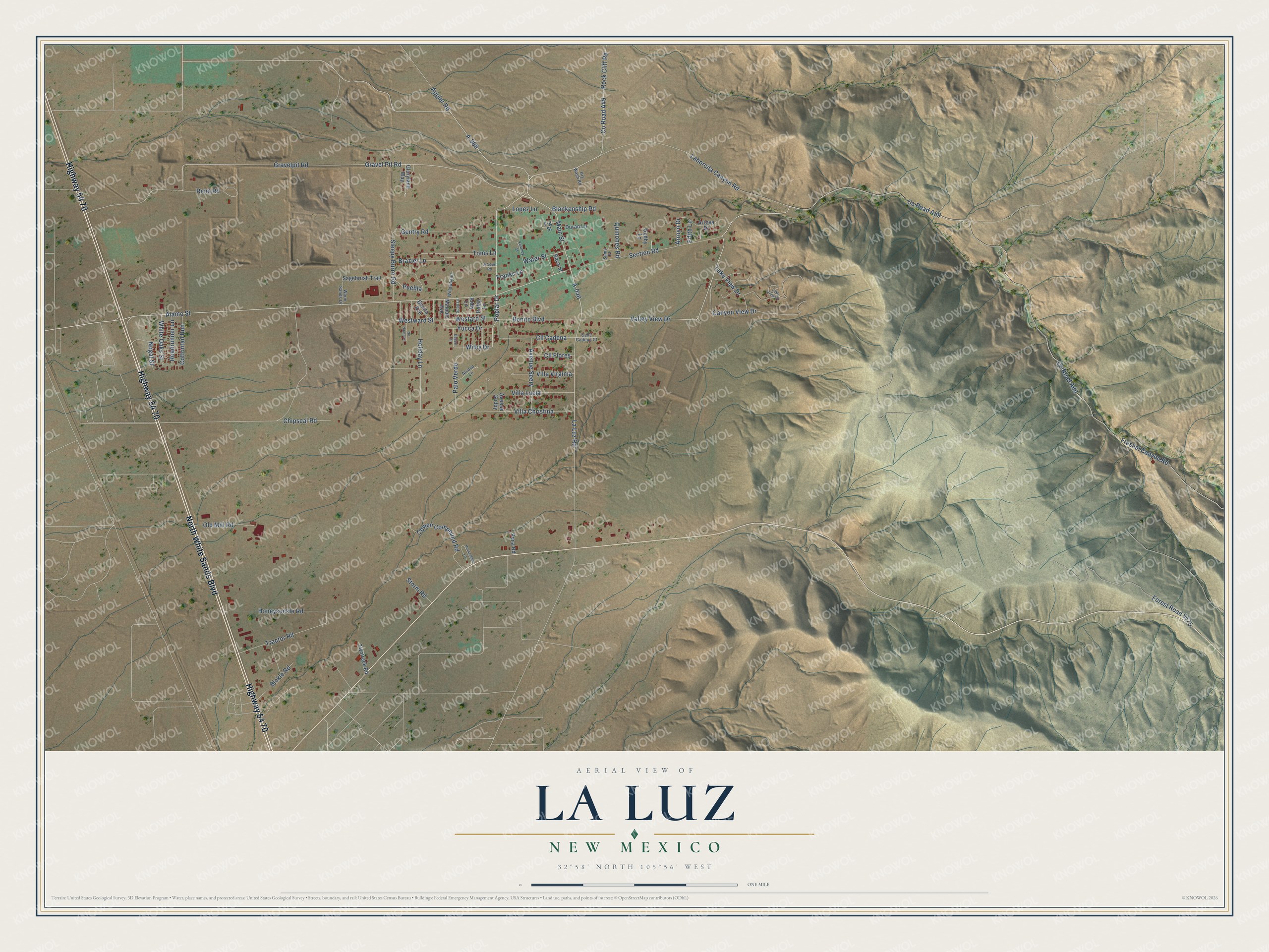
The La Luz map as a framed print. Swipe for more.


Created by KNOWOL in 2026. The buildings are small red shapes, the roads carry their printed names, and shaded relief shows the shape of the land. The title panel reads "AERIAL VIEW OF LA LUZ, NEW MEXICO" with 32°58' NORTH 105°56' WEST.
It looks right in a kitchen, an office or a den, and it's a gift for anyone who grew up in La Luz or moved away. Open the preview and find your street. See sizes and frames for the La Luz map.