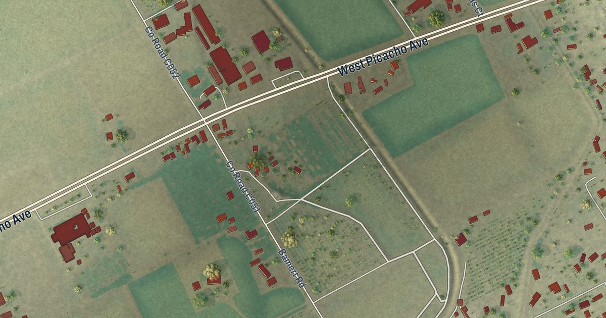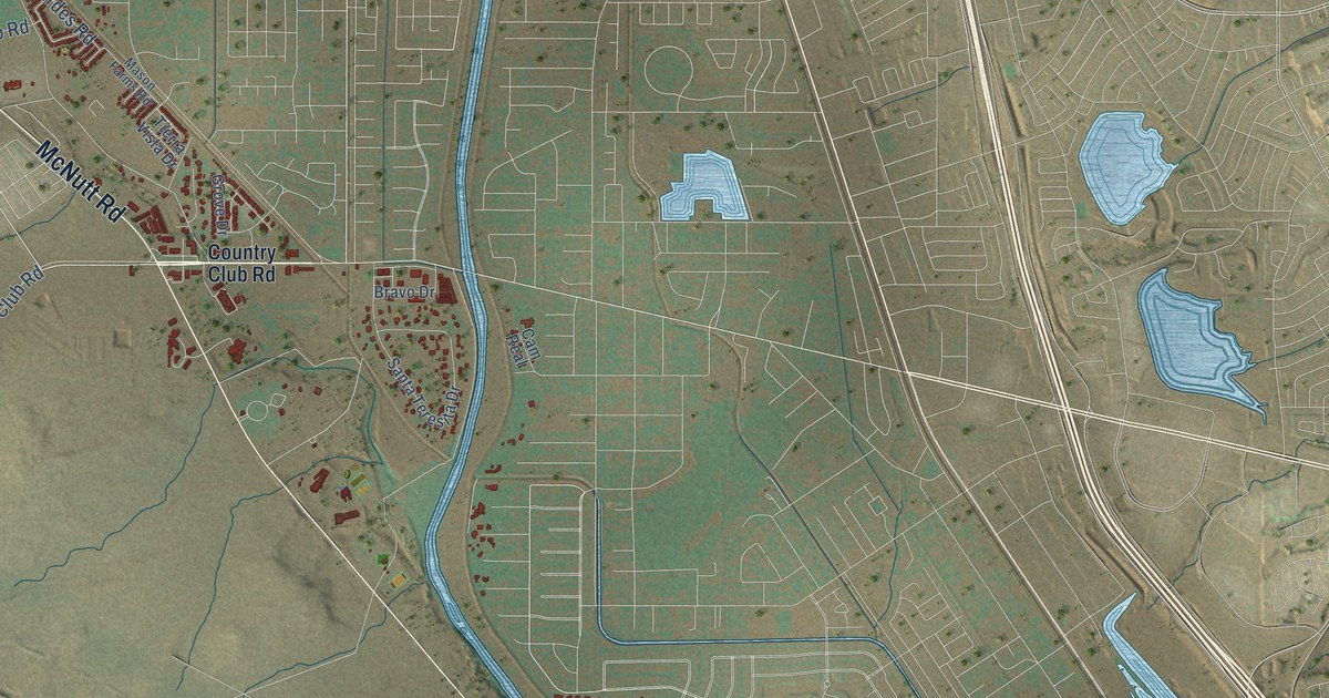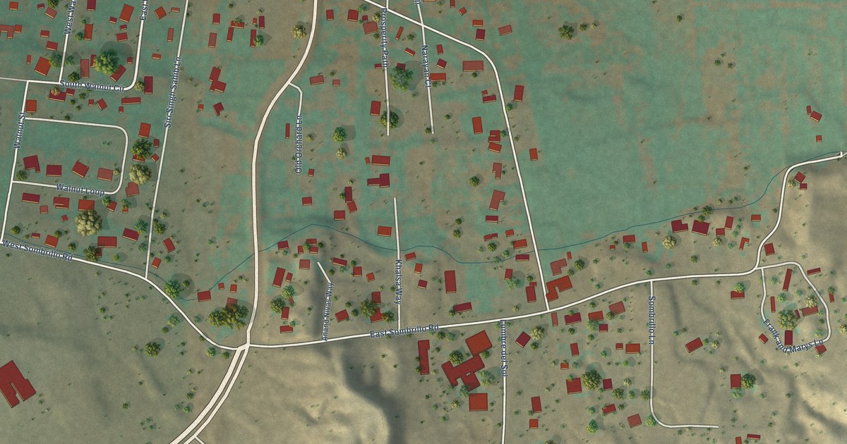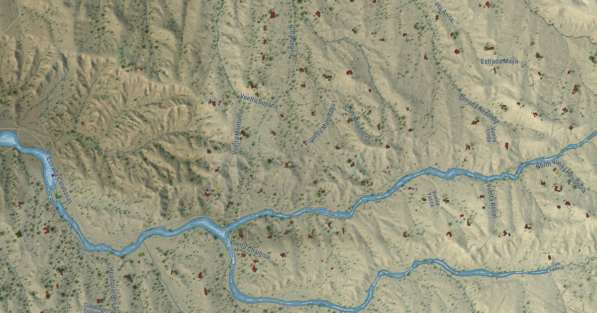
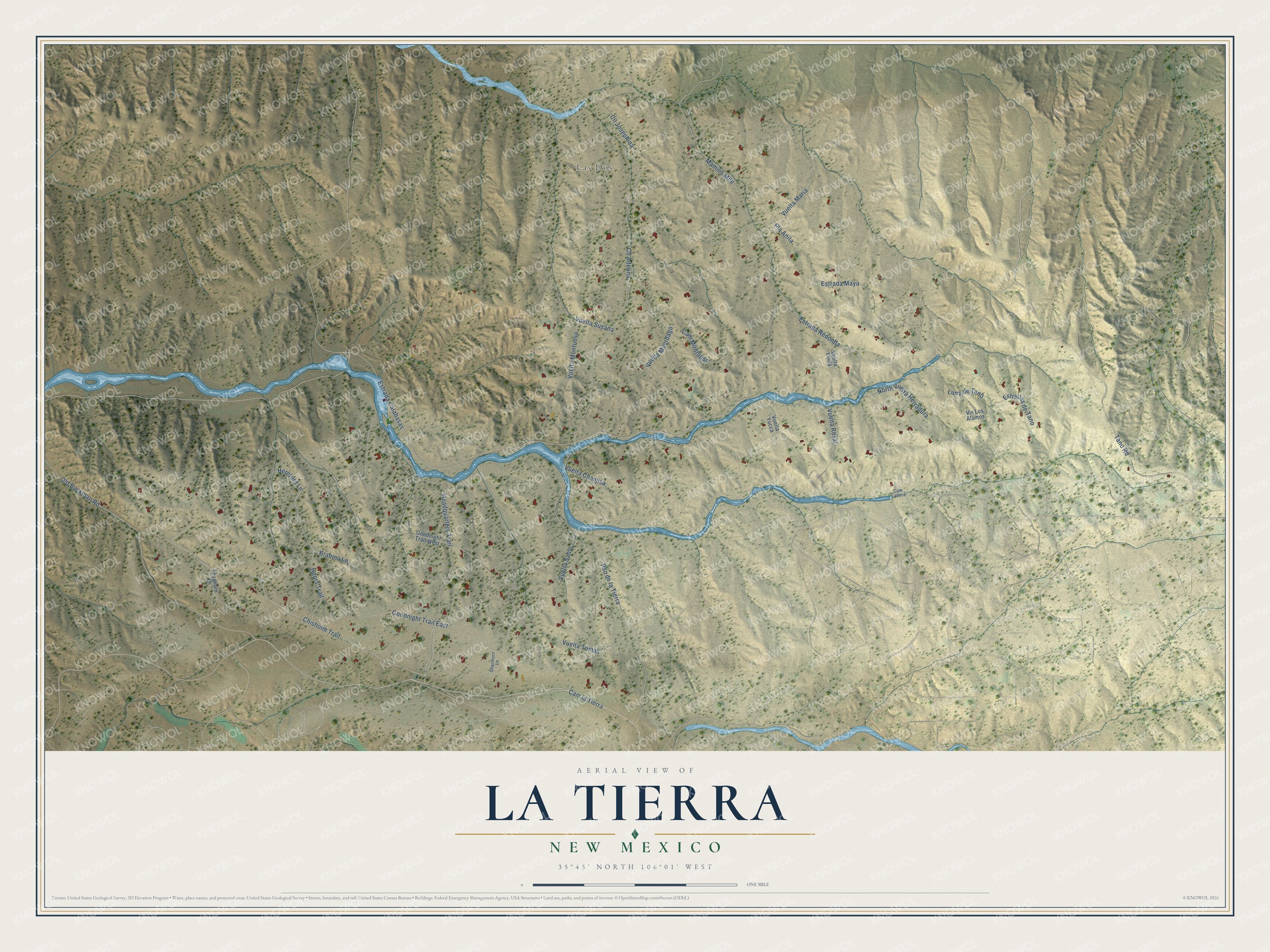
This beautifully detailed map of La Tierra, New Mexico was created in 2026 using aerial imagery combined with modern topographical, census, street and landmark data. It's a modern aerial view of La Tierra in Santa Fe County, New Mexico, that combines modern data with a vintage aesthetic. The roads feature printed names, and if you look closely you can find your exact house accurately shown in its correct location.
Explore an aerial view of La Tierra, New Mexico
On this map you'll find Las Dos, Cam la Tierra, Tano Road, Cam Montuoso, Chisholm Trail, Headquarters Trail, Estrada Calabasas, Pso de la Tierra, Vuelta Maria, Estrada Redonda, Goodnight Trail East, Old Buckman Road, and more. Each red shape is a building, so zoom in on the preview and look for yours.
La Tierra has a story worth telling. In the early 1930s suffragist Nina Otero-Warren and her partner Mamie Meadors homesteaded 1,257 acres twelve miles outside Santa Fe, a ranch they called Las Dos, The Two Women. To earn title they built two houses, fenced and cultivated the land, and kept up the road for five years. Otero-Warren had headed the New Mexico chapter of the Congressional Union in the fight for women's suffrage. She also served as superintendent of public schools in Santa Fe County until 1929. That's from the National Park Service.
La Tierra is a community in Santa Fe County. The Census Bureau counted 312 people here in 2020.
Take a closer look at the La Tierra map
Names on this map
These names are printed on this map.
Places: Las Dos.
Streets and roads: Cam la Tierra, Tano Road, Cam Montuoso, Chisholm Trail, Headquarters Trail, Estrada Calabasas, Pso de la Tierra, Vuelta Maria, Estrada Redonda, Goodnight Trail East, Old Buckman Road, Estrellas de Tano.
More street names, A to Z
Brahma Lane, Cam Ladera, Cll Adelina, Cll Josephina, Estrada Maya, Goodnight Trail West, Hdqrs Trail, Hereford Lane, Longhorn Lane, Luna de Tano, Mamies Mile, North Vuelta Herradura, Pla Anita, Shorthorn Lane, Vis Los Alamos, Vuelta Chamisa, Vuelta Linda, Vuelta Montuoso, Vuelta Muerdago, Vuelta Rosal, Vuelta Sabio, Vuelta Susana, Vuelta Tomas, Vuelta Yucca.
See it on a wall
The La Tierra map as a framed print. Swipe for more.


Created by KNOWOL in 2026. The buildings are small red shapes, the roads carry their printed names, and shaded relief shows the shape of the land. The title panel reads "AERIAL VIEW OF LA TIERRA, NEW MEXICO" with 35°45' NORTH 106°01' WEST.
It looks right in a kitchen, an office or a den, and it's a gift for anyone who grew up in La Tierra or moved away. Open the preview and find your street. See sizes and frames for the La Tierra map.