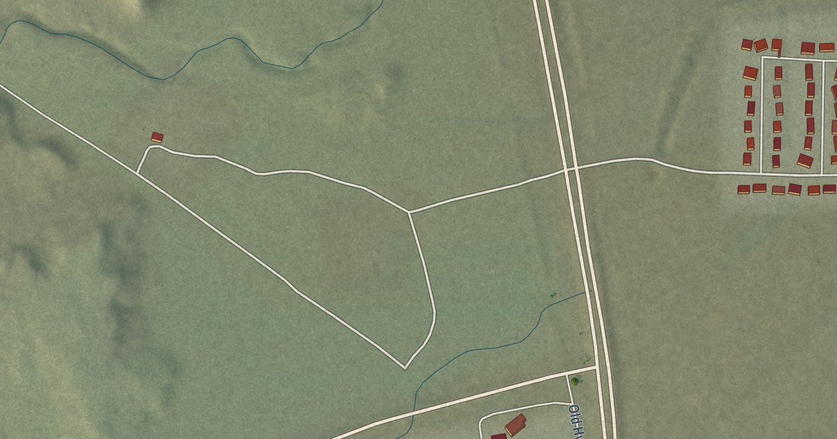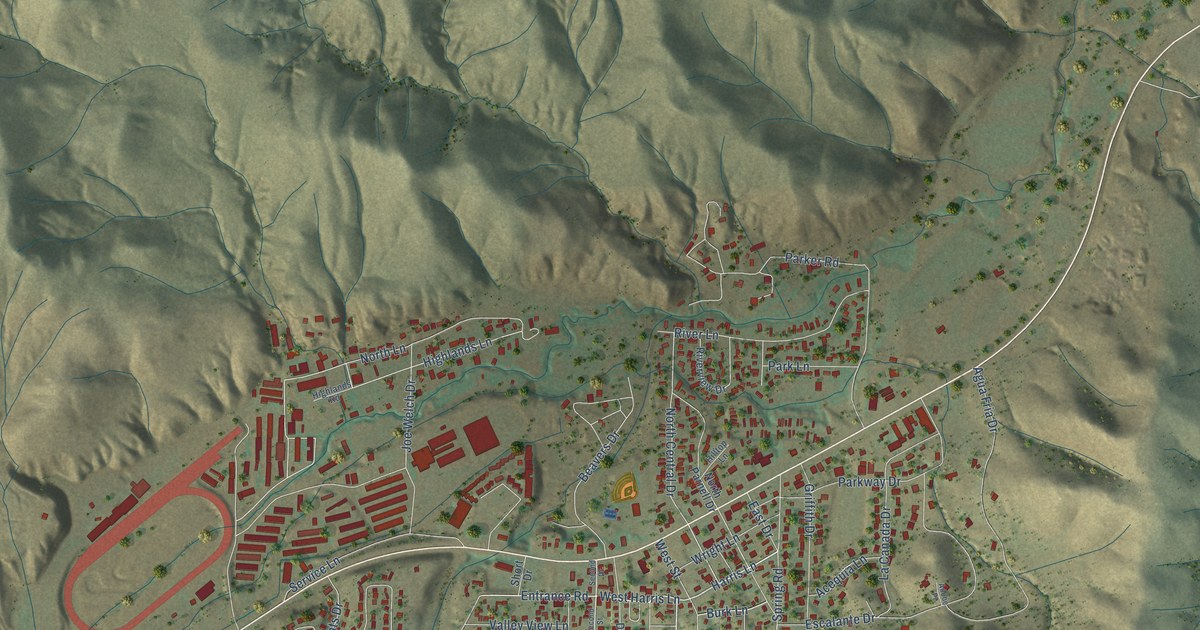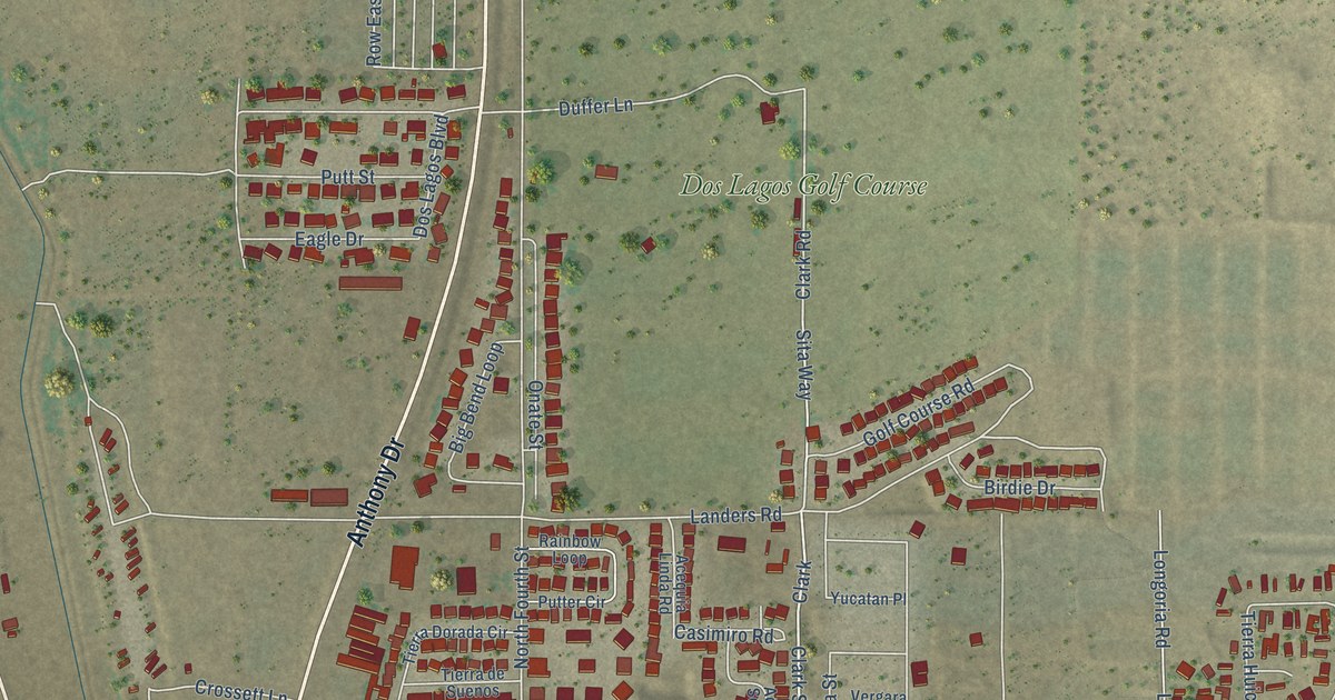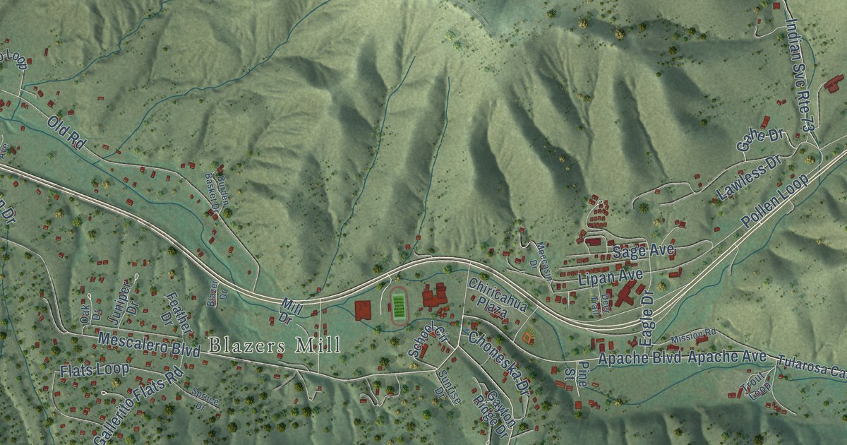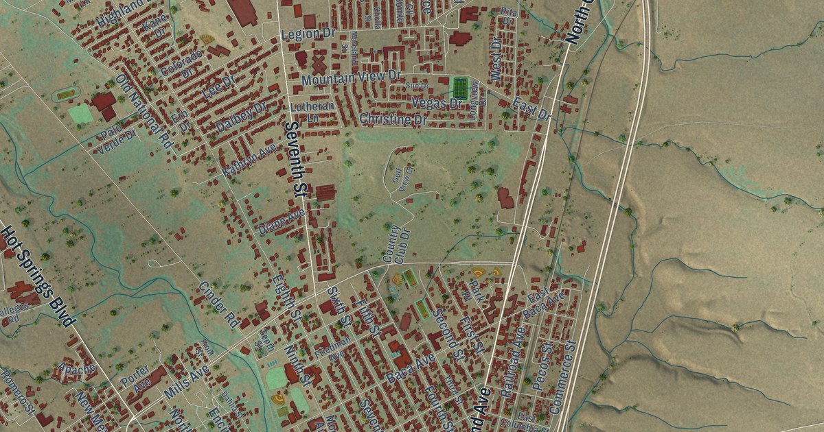
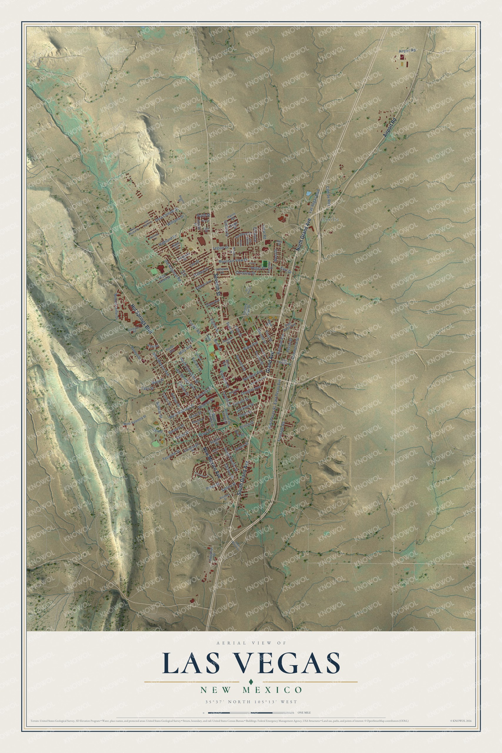
This beautifully detailed map of Las Vegas, New Mexico was created in 2026 using aerial imagery combined with modern topographical, census, street and landmark data. It’s a one-of-a-kind view of Las Vegas that combines accurate data with a vintage aesthetic. The map shows every building in its true location, many of the roads carry their names, and the shaded topographic relief shows the shape of the land.
Explore an aerial view of Las Vegas, New Mexico
On the map you’ll find Arriba, along with North Grand Avenue, Grand Avenue, South Grand Avenue, New Mexico Avenue, Airport Road, Seventh Street, Hot Springs Boulevard, Mills Avenue, West National Street, Valencia Street, Jackson Street, and more. If you look closely you can even find your house accurately drawn in its correct location. Zoom in on the preview to look for yours.
Did you know this piece of Las Vegas, New Mexico history?
From the Historical Marker Database: "Las Vegas, founded in 1835, and named for the meadows that surrounded it, was an important stop on the Santa Fe Trail."
Take a closer look at the Las Vegas map
Street and place names on the Las Vegas, New Mexico map
These names are printed on the map of Las Vegas, New Mexico.
Places: Arriba.
Streets and roads: North Grand Avenue, Grand Avenue, South Grand Avenue, New Mexico Avenue, Airport Road, Seventh Street, Hot Springs Boulevard, Mills Avenue, West National Street, Valencia Street, Jackson Street, National Avenue.
More street names, A to Z
Alamo Street, Apache, Armijo Drive, Baca Avenue, Bernal Street, Blanchard Street, Cam de Ron, Chavez Street, Cholla Street, Christine Drive, Church Street, Cinder Road, Cll Bonita, Cll Dulce, Collins Drive, Colorado Drive, Commerce Street, Country Club Drive, Dahlia Street, Dalbey Drive, Diamond Street, Diane Avenue, Diego Drive, Dora Celeste Street, Douglas Avenue, East Baca Avenue, East Columbia Street, East Drive, East Pecos Avenue, East Pecos Street, East Roybal Drive, Eighth Street, El Creston Circle, Eleventh Street, Encino Street, Erb Drive, Fifth Street, First Street, Fourth Street, Friedman Avenue, Frontage Road, Front Street, Gallegos Road, Golf View Court, Grant, Grant Street, Harris Road, Highland Drive, Industrial Drive, Juniper Drive, Kane Drive, Kathryn Avenue, Kavanaugh Street, Keithley Street, Las Vegas Boulevard, Lee Drive, Legion Drive, Lilac Street, Lincoln Street, Local Road, Longview Drive, Lopez Street, Lutheran Lane, Medical Center Drive, Melinda Lane, Mora Avenue, Mora Street, Moreland Street, Moreno Street, Mountain View Drive, Ninth Street, North Gonzales Street, North Street, Old National Road, Palo Verde Drive, Park Place, Pecos Street, Perez Street, Pinon Street, Porter Avenue, Prince Street, Pso de Las Escuelis, Railroad Avenue, Rita Drive, River Road, Rogers Street, Romero Street, Rose Lane, Sabina Street, Salazar Street, Sandoval Street, Sapello Street, Second Street, Sixth Street, Socorro Street, South Gonzales Street, South Pacific Street, Sun Drive, Taos Street, Tecolote Street, Tenth Street, Third Street, Tilden Street, Twelfth Street, University Avenue, Valley Street, Vegas Drive, West Drive, West Roybal Drive, West Valencia Street, Williams Drive.
See the Las Vegas, New Mexico map on a wall
The Las Vegas map as an 18 x 24 inch print in a black frame.

This beautifully detailed map of Las Vegas makes an attractive addition to your office, library, or den, and it can even be used to teach children the geography and history of the area. It also makes a great gift for someone who left Las Vegas and still calls it home. When you’re done exploring, click here to get your copy of the Las Vegas map.