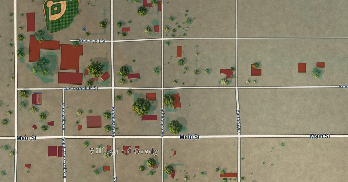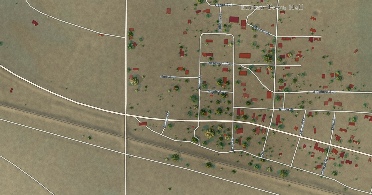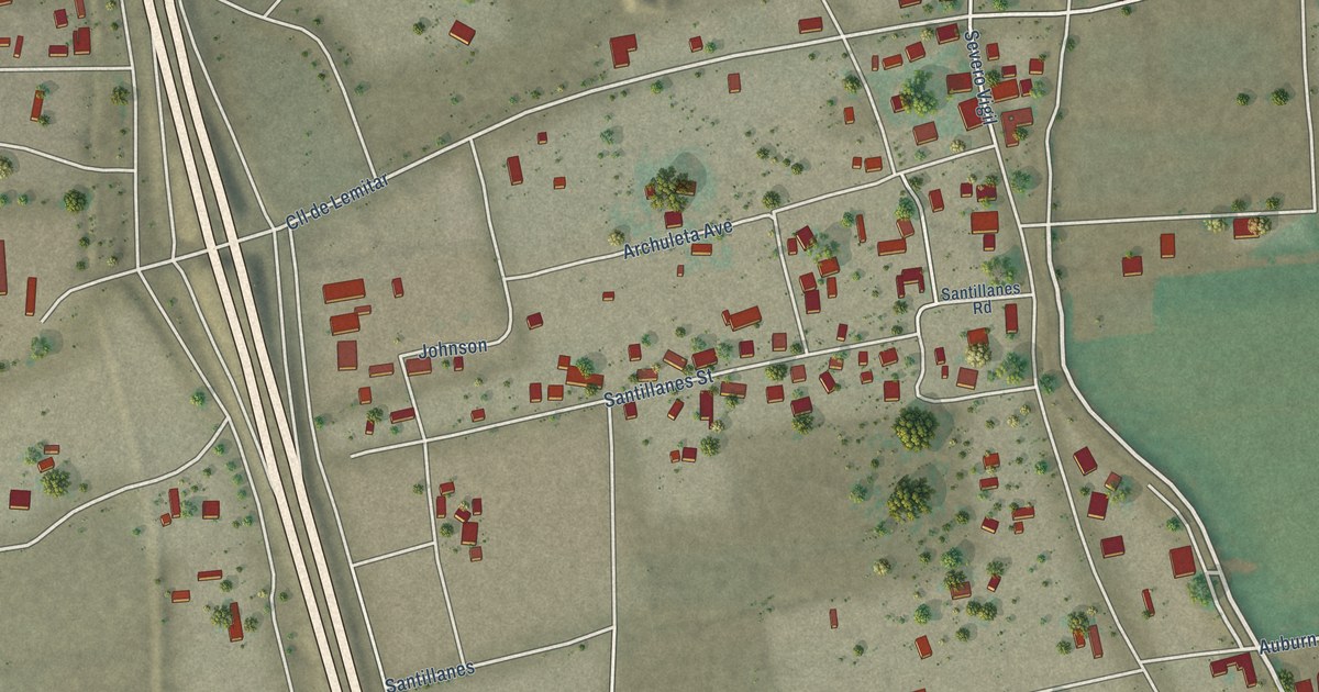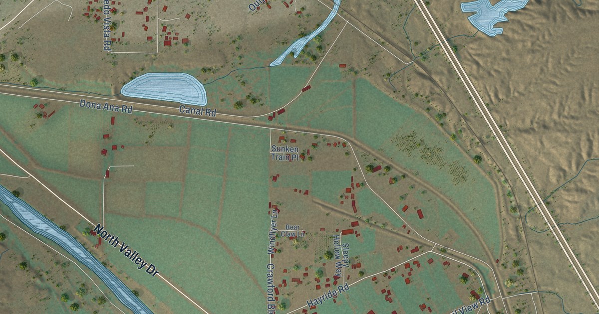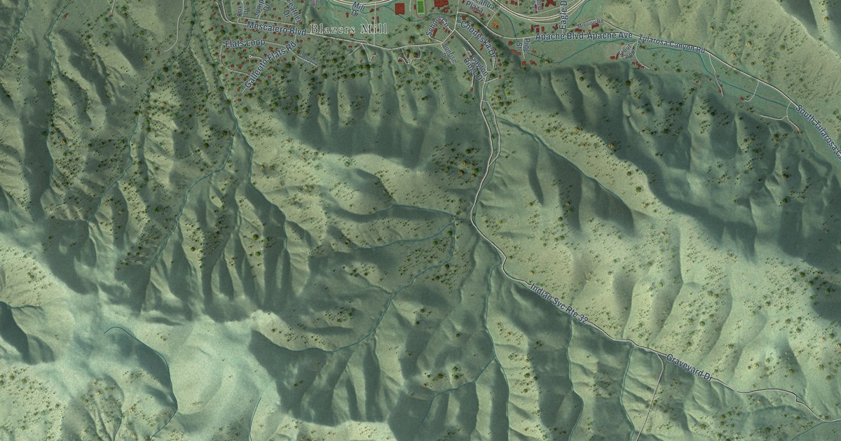
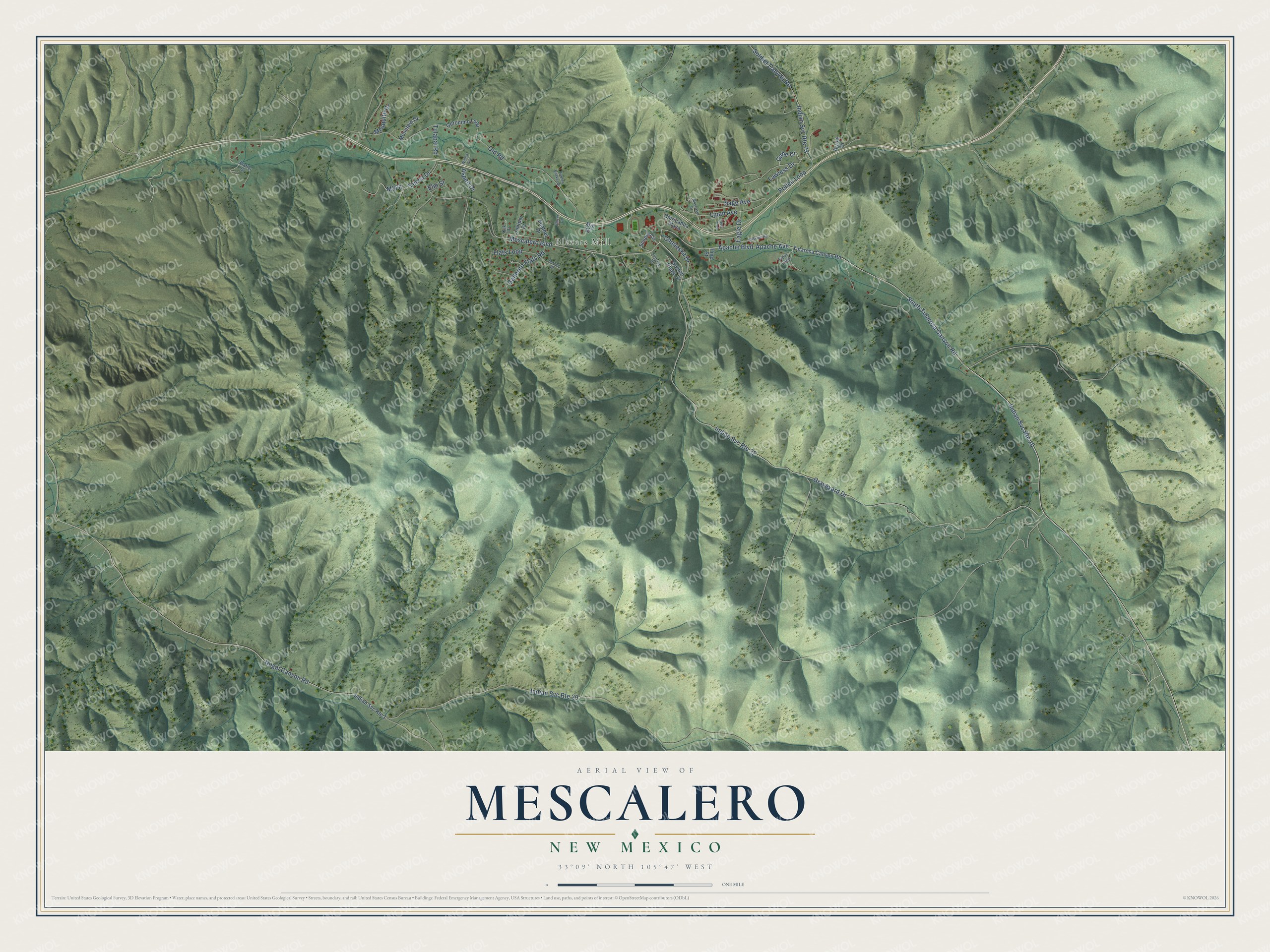
This beautifully detailed map of Mescalero, New Mexico was created in 2026 using aerial imagery combined with modern topographical, census, street and landmark data. It’s a one-of-a-kind view of Mescalero that combines accurate data with a vintage aesthetic. The map shows every building in its true location, many of the roads carry their names, and the shaded topographic relief shows the shape of the land.
Explore an aerial view of Mescalero, New Mexico
On the map you’ll find Blazers Mill and M376, along with Apache Boulevard, Mescalero Boulevard, South Tularosa Canyon Road, Nogal Canyon Road, Graveyard Drive, Old Road, Pollen Loop, Soldier Canyon Road, Yucca Drive, Flats Loop, and more. If you look closely you can even find your house accurately drawn in its correct location. Zoom in on the preview to look for yours.
Did You Know?
The Mescalero Apache Reservation was formally established by President Ulysses S. Grant's executive order on May 29, 1873, on what had been the heartland of the people's homeland. Today the Mescalero, Lipan and Chiricahua Apache together make up the Mescalero Apache Tribe. About 200 Chiricahua Apaches came to the reservation in 1913, after being held prisoner at Fort Sill since Geronimo's capture in 1886. Descendants of Geronimo, Victorio and Lozen live on the reservation today. That's from the Mescalero Apache Tribe.
Take a closer look at the Mescalero map
Names on this map
These names are printed on this map.
Places: Blazers Mill.
Streets and roads: Apache Boulevard, Mescalero Boulevard, Indian Svc Route 10, South Tularosa Canyon Road, Indian Svc Route 32, Nogal Canyon Road, Graveyard Drive, Indian Svc Route 29, Old Road, Pollen Loop, Soldier Canyon Road, Indian Svc Route 73.
More street names, A to Z
Apache Avenue, Arrow Drive, Aspen Drive, Blazer Drive, Burden Basket Drive, Chiricahua Plaza, Choneska Drive, Deer Trail, Eagle Drive, Elm Street, Feather Drive, Flats Loop, Gahe Drive, Gallerito Flats Road, Gayton Ridge Drive, Geronimo Loop, Indian Svc Route 1, Juniper Drive, Lawless Drive, Lipan Avenue, Mesquite Drive, Mill Drive, Mission Road, Moccasin Drive, Mountain Drive, Oak Drive, Pine Street, Sage Avenue, School Circle, Shaffer Drive, Spruce Drive, Sunrise Drive, Trout Loop, Tulapai Road, Tularosa Canyon Road, Willow Avenue, Yucca Drive.
See it on a wall
The Mescalero map as a framed print. Swipe for more.


This beautifully detailed map of Mescalero makes an attractive addition to your office, library, or den, and it can even be used to teach children the geography and history of the area. It also makes a great gift for anyone who grew up in Mescalero or moved away. When you’re done exploring, click here to get your copy of the Mescalero map.