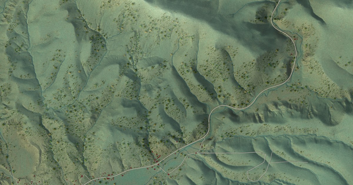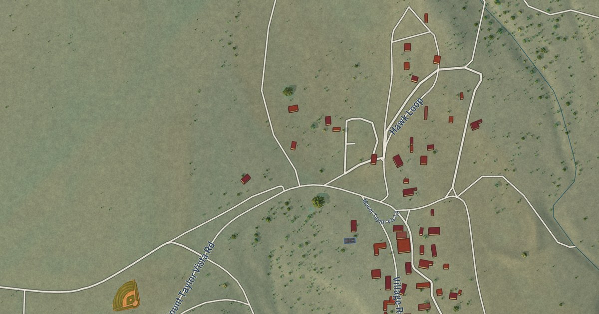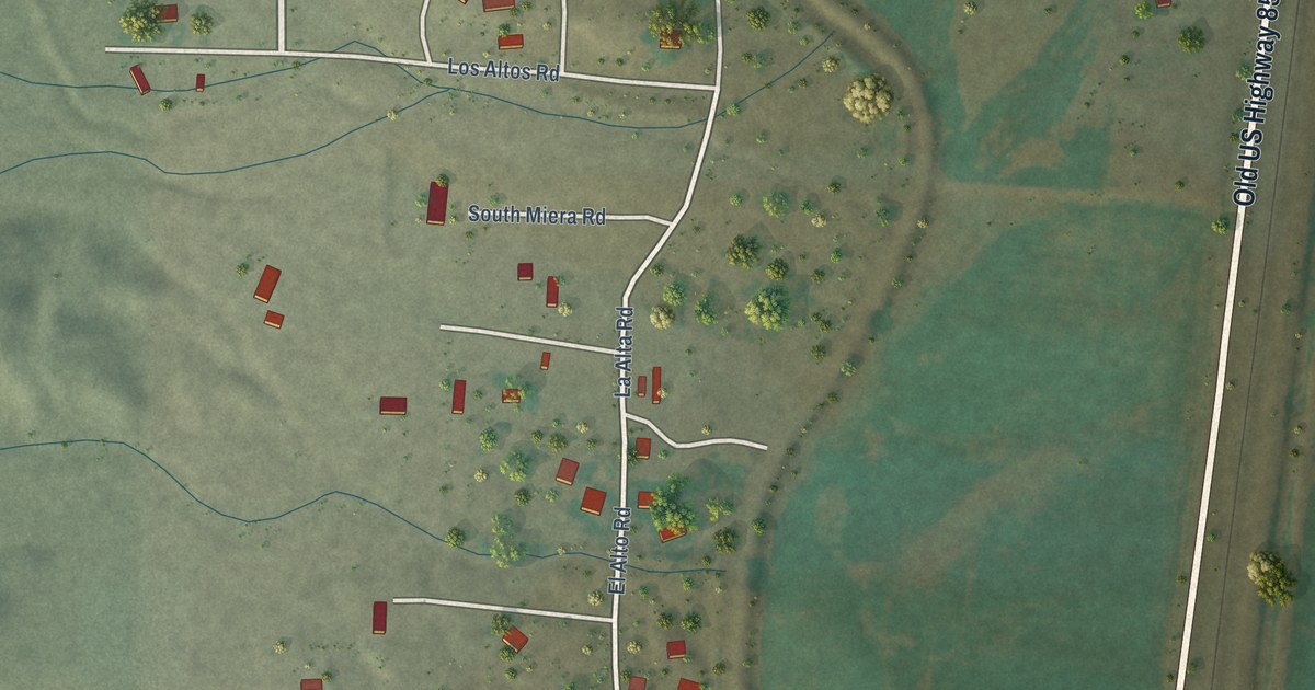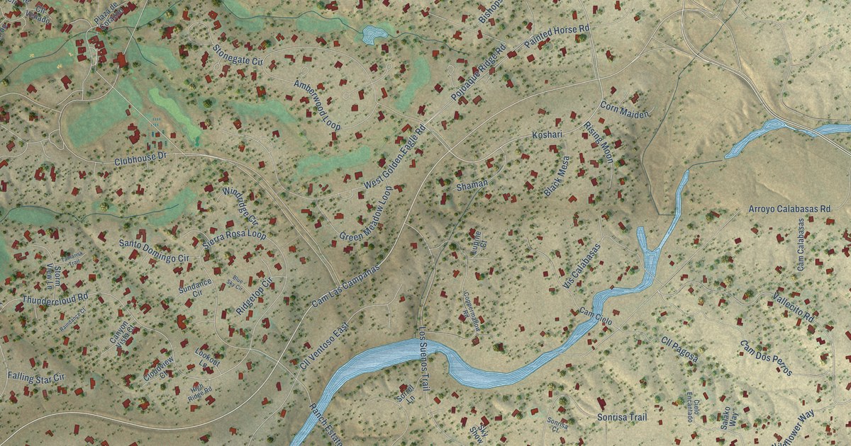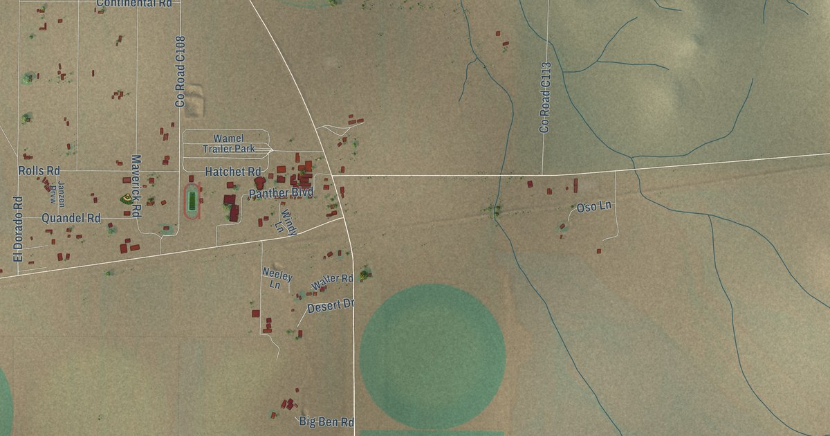
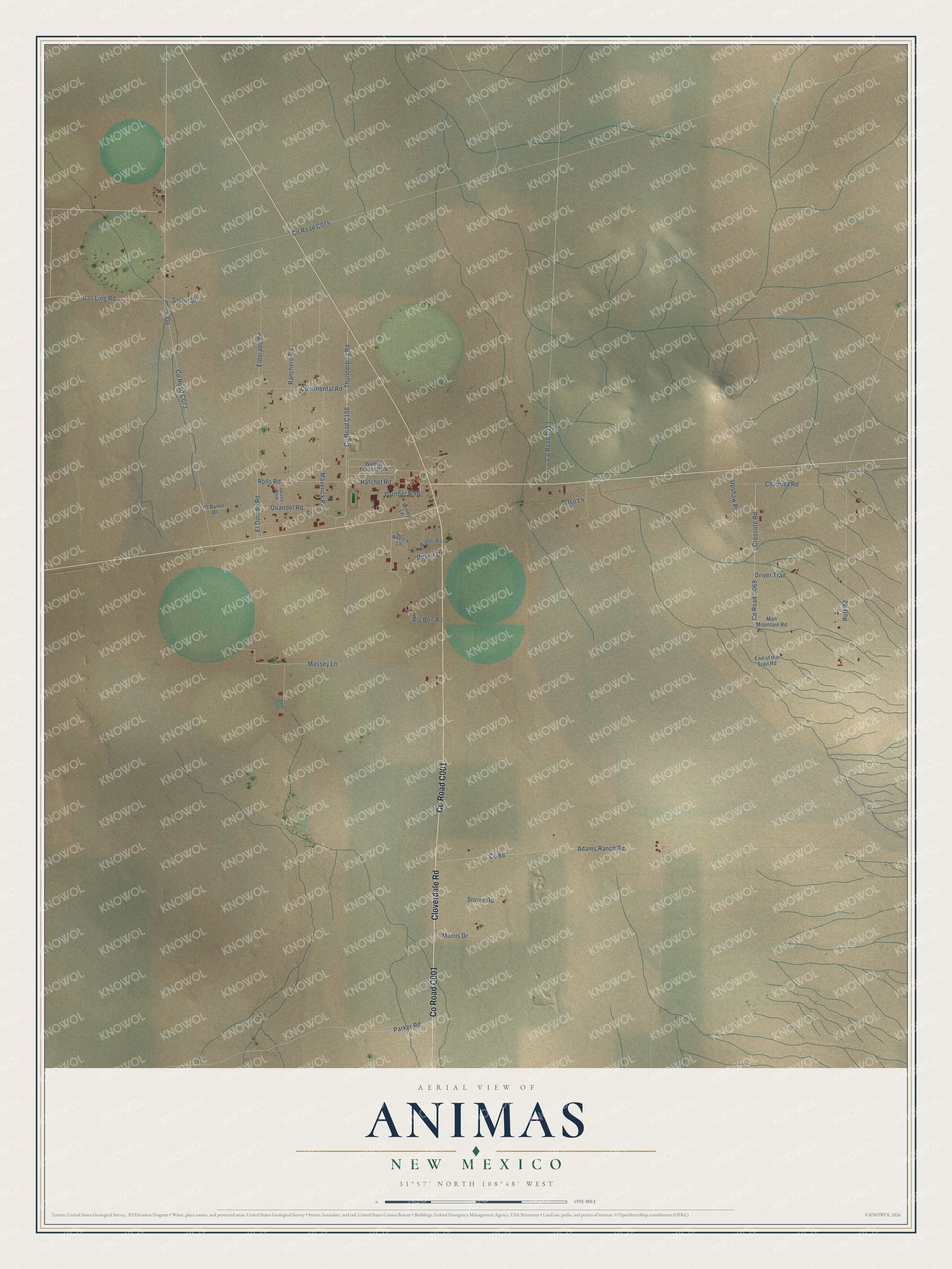
This beautifully detailed map of Animas, New Mexico was created in 2026 using aerial imagery combined with modern topographical, census, street and landmark data. It's a modern aerial view of Animas in Hidalgo County, New Mexico, that combines modern data with a vintage aesthetic. The roads feature printed names, and if you look closely you can find your exact house accurately shown in its correct location.
Explore an aerial view of Animas, New Mexico
On this map you'll find Co Road C001, Cloverdale Road, Hatchet Road, Gas Line Road, El Dorado Road, Co Road C069, Creosote Road, Co Road C108, Parker Road, Co Road C073, Co Op, Adams Ranch Road, and more. Each red shape is a building, so zoom in on the preview and look for yours.
Every town has a first chapter, and Animas is no exception. The town of Animas was the civic focal point of New Mexico's boot heel, above all through the Animas High School football team. The team won 69 games in a row, the second-longest winning streak in high school football history, and Life magazine wrote it up. That's from the Smithsonian magazine.
Animas is a community in Hidalgo County. The Census Bureau counted 180 people here in 2020.
Take a closer look at the Animas map
Names on this map
These names are printed on this map.
Places: Wamel Trailer Park.
Streets and roads: Cloverdale Road, Hatchet Road, Gas Line Road, El Dorado Road, Creosote Road, Parker Road, Co Op, Adams Ranch Road, Maverick Road, Thunderbird Road, Eldorado Road, Ranchero Road.
More street names, A to Z
Big Ben Road, Chamisa Road, Continental Road, Desert Drive, Driver Trail, End of the Trail Road, Janzen Drvw, Man Mountain Road, Massey Lane, Morris Drive, Neeley Lane, O'Byrne Drive, Oso Lane, Panther Boulevard, Quandel Road, Rolls Road, Ruff Road, Slover Road, Stone Drive, Upshaw Place, Walter Road, Windy Lane.
See it on a wall
The Animas map as a framed print. Swipe for more.


Created by KNOWOL in 2026. The buildings are small red shapes, the roads carry their printed names, and shaded relief shows the shape of the land. The title panel reads "AERIAL VIEW OF ANIMAS, NEW MEXICO" with 31°57' NORTH 108°48' WEST.
Hang it in the hallway, the office or the cabin, or give it to someone who left Animas and still calls it home. Open the preview and look for a street you know. See sizes and frames for the Animas map.